Curated by PaddleWays
RouteClass II–IV
- Distance
- 0.9 mi
- Paddle time
- ~0.5 hrs
- Best for
- Kayak
- Put-in → take-out
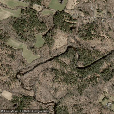
- England Road Access → Diana's Pool Access
Class IV rapid requires skill to navigate
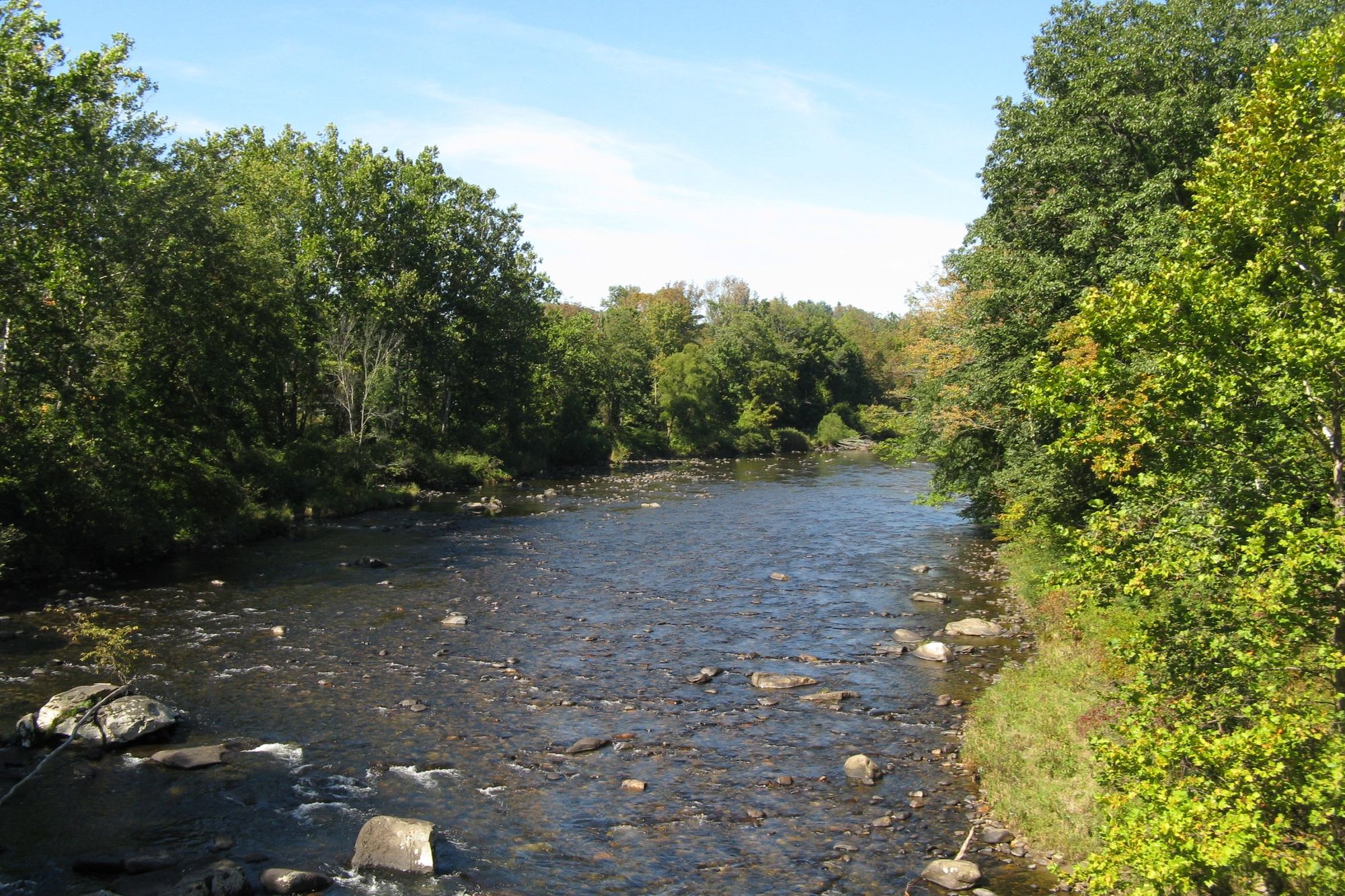
The Natchaug River is a scenic waterway flowing through eastern Connecticut, offering paddlers a diverse range of experiences from calm flatwater to challenging whitewater. This river, whose name means "land between the rivers" in the local Native American language, winds its way through the picturesque Natchaug State Forest, providing a beautiful backdrop of dense woodlands and occasional farmland.
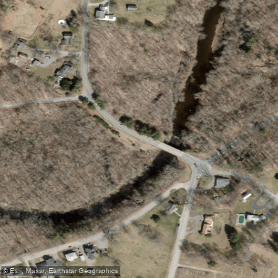
The river's paddling opportunities can be divided into several distinct sections. The upper stretch, from Eastford to Chaplin, is a popular 5.5-mile run featuring mostly Class I-II rapids suitable for intermediate paddlers. This section begins at a picnic area on Route 198 in Eastford and concludes at the England Road bridge in Chaplin. Along the way, paddlers will encounter a mix of calm stretches and mild whitewater, passing under several bridges including Morey Road and North Bear Hill Road.
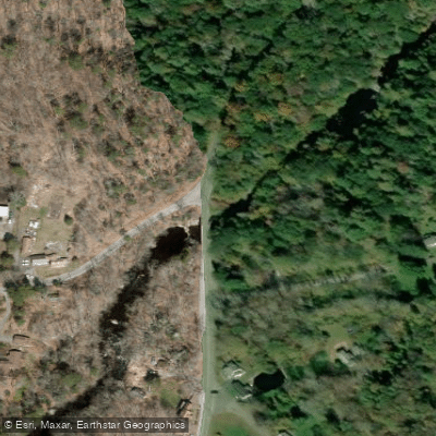
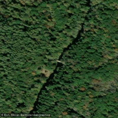
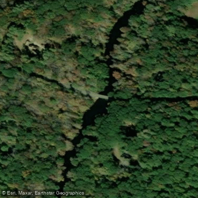
A notable feature of the Natchaug is Diana's Pool, a challenging Class IV rapid located near Chaplin. This 0.9-mile section, running from England Road to Route 198, is popular among experienced kayakers and has even attracted the attention of the U.S. Olympic Kayaking team due to its technical nature.
For those seeking a longer journey, the Lower Natchaug section extends from Route 198 to Bassetts Bridge Road in Mansfield, offering additional Class II-III rapids over approximately 3-4 miles. The river then transitions into a more urban setting as it approaches Willimantic, where it joins the Willimantic River to form the Shetucket River. This final stretch provides a pleasant 3.5-mile flatwater to Class I paddle from Philip Lauter Park in Willimantic to the Route 203 bridge in Windham.
The Natchaug River is best paddled in spring and early summer when water levels are typically higher. However, it's important to check current conditions, as flow can vary significantly with rainfall. The surrounding forest provides habitat for a variety of wildlife, and paddlers may spot herons, turtles, and other riparian species.
Access points are generally well-maintained, with several state parks and campgrounds along the river providing convenient put-in and take-out locations. The towns of Eastford, Chaplin, and Willimantic serve as primary access points for different sections of the river.
Safety considerations are paramount, especially for the more challenging sections like Diana's Pool. Paddlers should always wear appropriate safety gear and be aware of their skill level relative to the river's difficulty. It's also crucial to be mindful of potential hazards such as strainers and changing water levels.
While primarily a day-trip destination, the Natchaug can be combined with paddling on the Shetucket River for longer excursions. The river's natural beauty, coupled with its range of paddling options, makes it a cherished resource for Connecticut's outdoor enthusiasts and a valuable part of the region's recreational offerings.
Curated routes
Hand-picked by the PaddleWays team, with put-ins, take-outs, paddle times and the hazards along the way.
RouteClass II–IV
RouteClass I–IV
RouteClass II–III
Hazards
No paddler has reported a hazard here yet, so these are the dams, falls and big rapids on our map. Hazards change with flows and storms, so check them before you launch.
From the community
Nobody has shared a trip on Natchaug River yet. Paddle it, then tell the next paddler how it went.
See exactly where the public can get on and off the river. Launch points and boat ramps are paired with PaddleWays' public land data so you know where you can legally land.
Public shoreline
0%of the river's shoreline is public
Most of the riverbank is private. Launch, land and camp only at public access points.
Flows, weather and a route-by-route verdict, so you know which stretch of the Natchaug River is worth paddling today.
All Flow Stations
Live flows, marked hazards and fresh trip reports from paddlers who were just on the water, all in one place.





Every user gets free access to launch points, boat ramps, and public property parcels.
Loading popular cities...
PaddleWays gives you everything you need to plan smarter, paddle better, and own every trip from first launch to takeout.