Lake Lillinonah
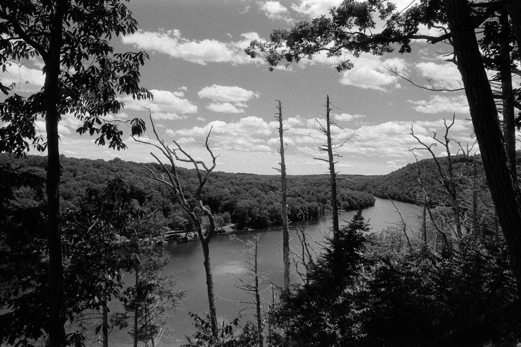
Lake Lillinonah
- Boat Ramps
- 1
- Access Points
- 2
- Campsites
- 0
Lake Lillinonah is a 1,547-acre reservoir in southwestern Connecticut, stretching 12 miles with 45 miles of shoreline. Created in 1955 by damming the Housatonic River, it is the state's second-largest lake. The lake is long and river-like, with steep forested banks along most of its length.
Two public boat launches provide access: Lake Lillinonah launch with a paved parking lot and Pond Brook launch with a gravel lot. The lake is popular for kayaking, canoeing, and fishing. Its size helps minimize crowding along the shore.
Anglers target largemouth and smallmouth bass, northern pike, perch, crappie, and catfish. Lake Lillinonah ranks first in Connecticut for bass growth rates and hosts around 50 bass fishing tournaments annually. The state record northern pike (29 pounds) was caught here.
Wildlife viewing opportunities abound, with bald eagles wintering below Shepaug Dam where a viewing area has been established. The lake's picturesque forested shoreline creates ideal conditions for nature photography.
Water quality is notably good, with Lake Lillinonah described as having "crystal-clear waters." Its clean, clear appearance contributes to its reputation as one of Connecticut's best lakes for water clarity.
The lake is managed for hydroelectric power generation and flood control. Water levels may fluctuate, so paddlers should be aware of changing conditions. Ice forms in winter, allowing for ice fishing.
Nearby attractions include hiking trails and over 200 geocaching locations in the vicinity. The northern end of the lake reaches the town of New Milford, while the southern end is defined by Shepaug Dam.
Water access, boat ramps & amenities
Learn how to get on Lake Lillinonah. Uncover great paddling access points, boat ramps, and all the facilities you need for an unforgettable day on the water. Some locations shown may border or include private property. Always check property boundaries and applicable regulations before visiting. PaddleWays's Public & Private Land layer can help you plan your access with confidence.
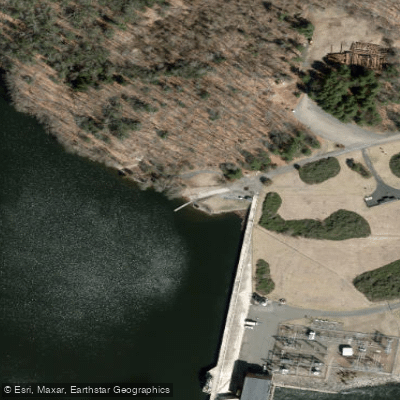
Paddle smarter with real-time insights
Whether you're en route and conditions shift or you're looking for the best spot based on current flows, we enable you to make informed decisions on the fly.








Find Places to Paddle

Over 400,000 Places to Paddle
Every user gets free access to launch points, boat ramps, and public property parcels.


Water and weather conditions (10 day forecast)
See the best times to paddle Lake Lillinonah and check the forecast before you go.
No forecast data available.
Paddling near Lake Lillinonah

Housatonic River

Hudson River
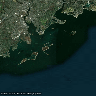
Norwalk Islands

Croton River
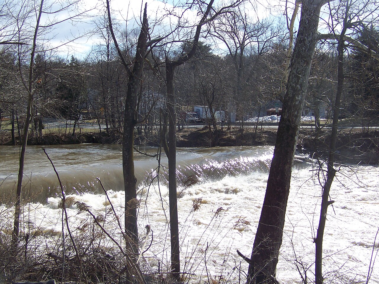
Wappinger Creek
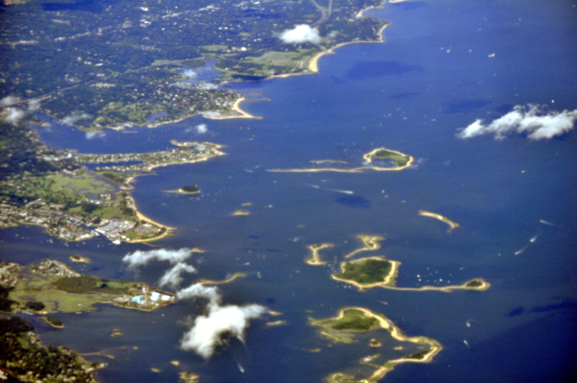
Cockenoe Harbor
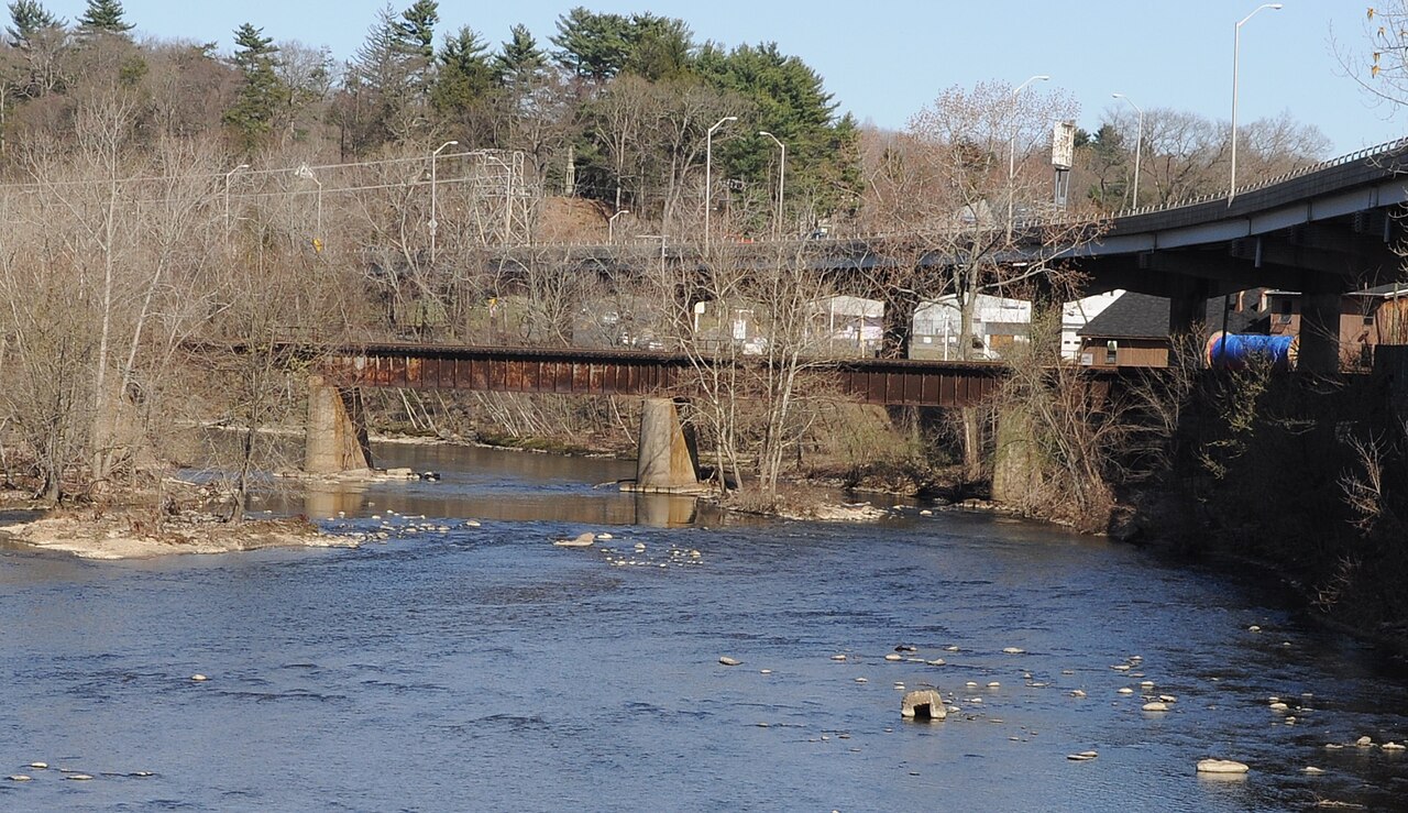
Naugatuck River

Connecticut River
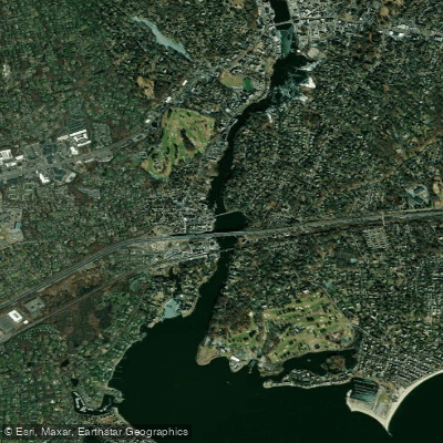
Saugatuck River
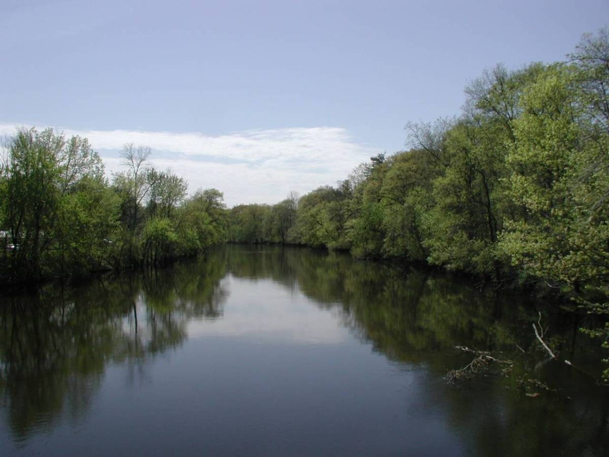
Farmington River
Explore Connecticut waters
Top paddling waters
Popular Cities
Loading popular cities...
Explore near Lake Lillinonah
Access points
Nearby waters
More in Connecticut

Smarter Paddling Starts in the App.
Paddleways gives you everything you need to plan smarter, paddle better, and own every trip from first launch to takeout.