Squantz Pond
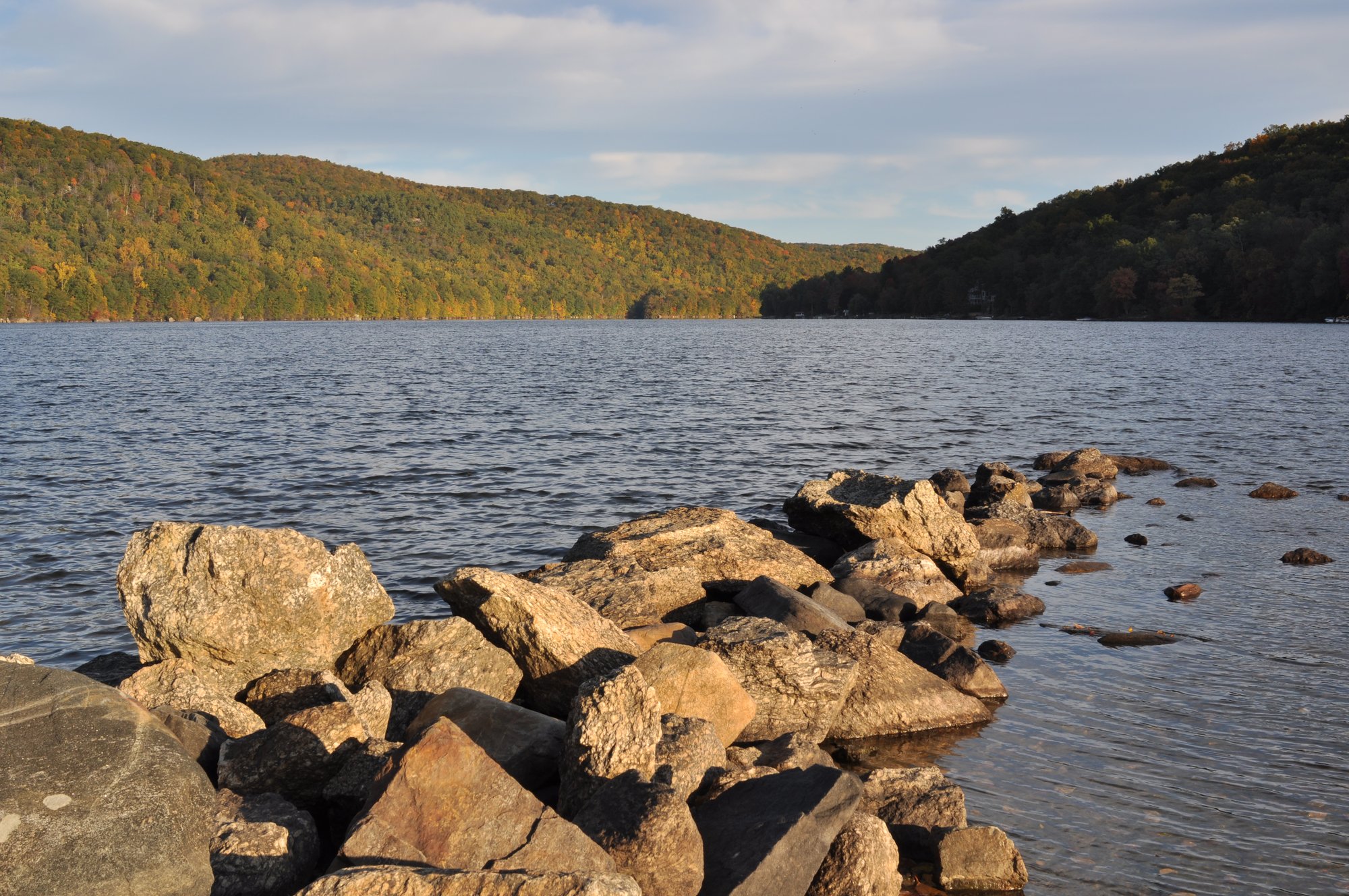
Squantz Pond
- Boat Ramps
- 1
- Access Points
- 1
- Campsites
- 0
Squantz Pond spans 270 acres in New Fairfield, Connecticut, offering paddlers a mix of developed and natural shorelines. The western shore features steep, wooded slopes and rocky cliffs, while the eastern shore has a more gradual slope with sandy and muck bottom areas. The northern end is notably shallow with the greatest diversity of aquatic plants.
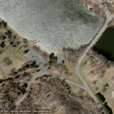
Access is via the state park boat launch located at 178 Shortwoods Road. The launch has limited parking (25 spaces) and enforces a 25-horsepower limit for motorized vessels. During peak season (Memorial Day through Labor Day), the park charges entrance fees ranging from $15-22 for out-of-state vehicles, while Connecticut-registered vehicles enter free.
Paddlers share the water with motorized boats and jet skis, particularly near the state park area. The pond connects to Candlewood Lake at its southern end. One side of the pond features residential development, while the opposite shore maintains virgin forest, creating an interesting contrast for paddlers exploring the shoreline.
Notable features include large boulder formations along the western shore, though these areas have posted warning signs due to past diving accidents. The water quality is generally good, with cool, clean, oxygen-rich waters supporting diverse aquatic life. Eleven aquatic plant species inhabit the pond, including native species like coontail and western waterweed.
The pond holds historical significance as the land was originally home to the Schaghticoke tribe, and both the pond and park are named for Chief Squantz. Facilities at the state park include restrooms (closed after Labor Day), picnic areas with charcoal grills, and a nature center.
For the best paddling experience, consider visiting during off-peak hours to avoid heavy motorized traffic. The park is open daily from 8:00 a.m. until sunset year-round.
Water access, boat ramps & amenities
Learn how to get on Squantz Pond. Uncover great paddling access points, boat ramps, and all the facilities you need for an unforgettable day on the water. Some locations shown may border or include private property. Always check property boundaries and applicable regulations before visiting. PaddleWays's Public & Private Land layer can help you plan your access with confidence.
Paddle smarter with real-time insights
Whether you're en route and conditions shift or you're looking for the best spot based on current flows, we enable you to make informed decisions on the fly.








Find Places to Paddle

Over 400,000 Places to Paddle
Every user gets free access to launch points, boat ramps, and public property parcels.


Water and weather conditions (10 day forecast)
See the best times to paddle Squantz Pond and check the forecast before you go.
No forecast data available.
Paddling near Squantz Pond

Housatonic River

Hudson River
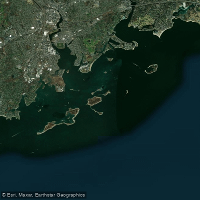
Norwalk Islands

Croton River
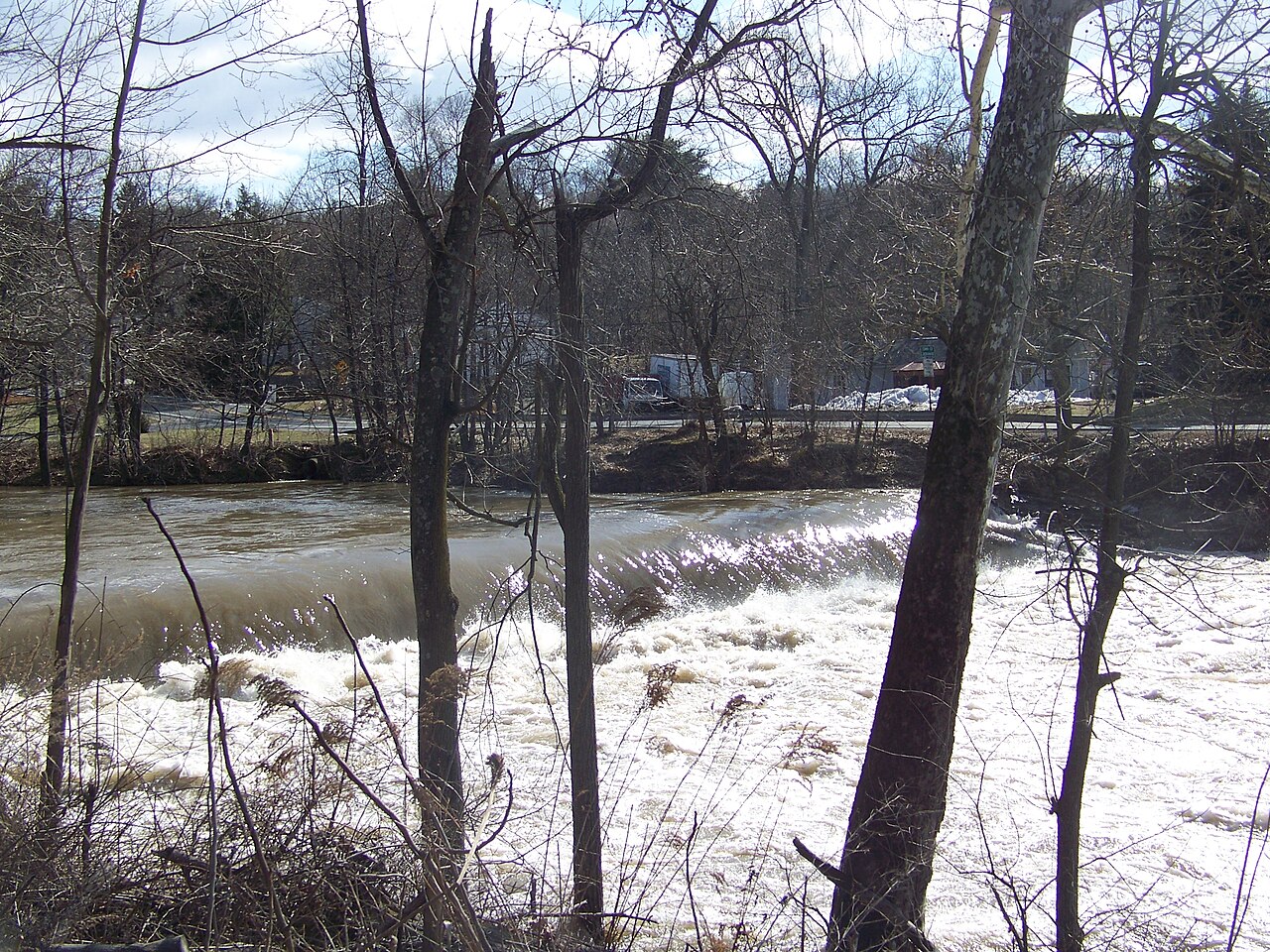
Wappinger Creek
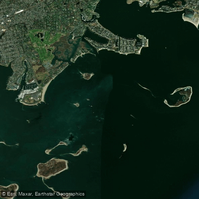
Cockenoe Harbor
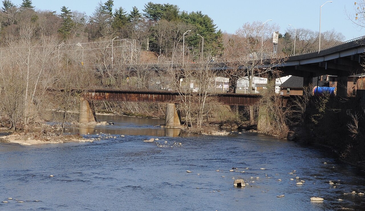
Naugatuck River

Connecticut River
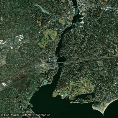
Saugatuck River
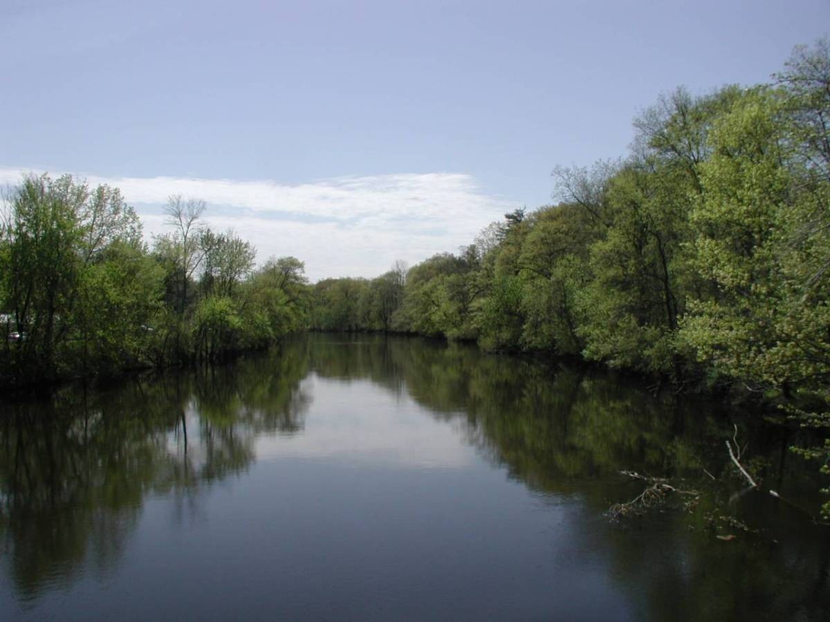
Farmington River
Explore Connecticut waters
Top paddling waters
Popular Cities
Loading popular cities...
Explore near Squantz Pond
Access points
Nearby waters
More in Connecticut

Smarter Paddling Starts in the App.
Paddleways gives you everything you need to plan smarter, paddle better, and own every trip from first launch to takeout.