Bantam Lake
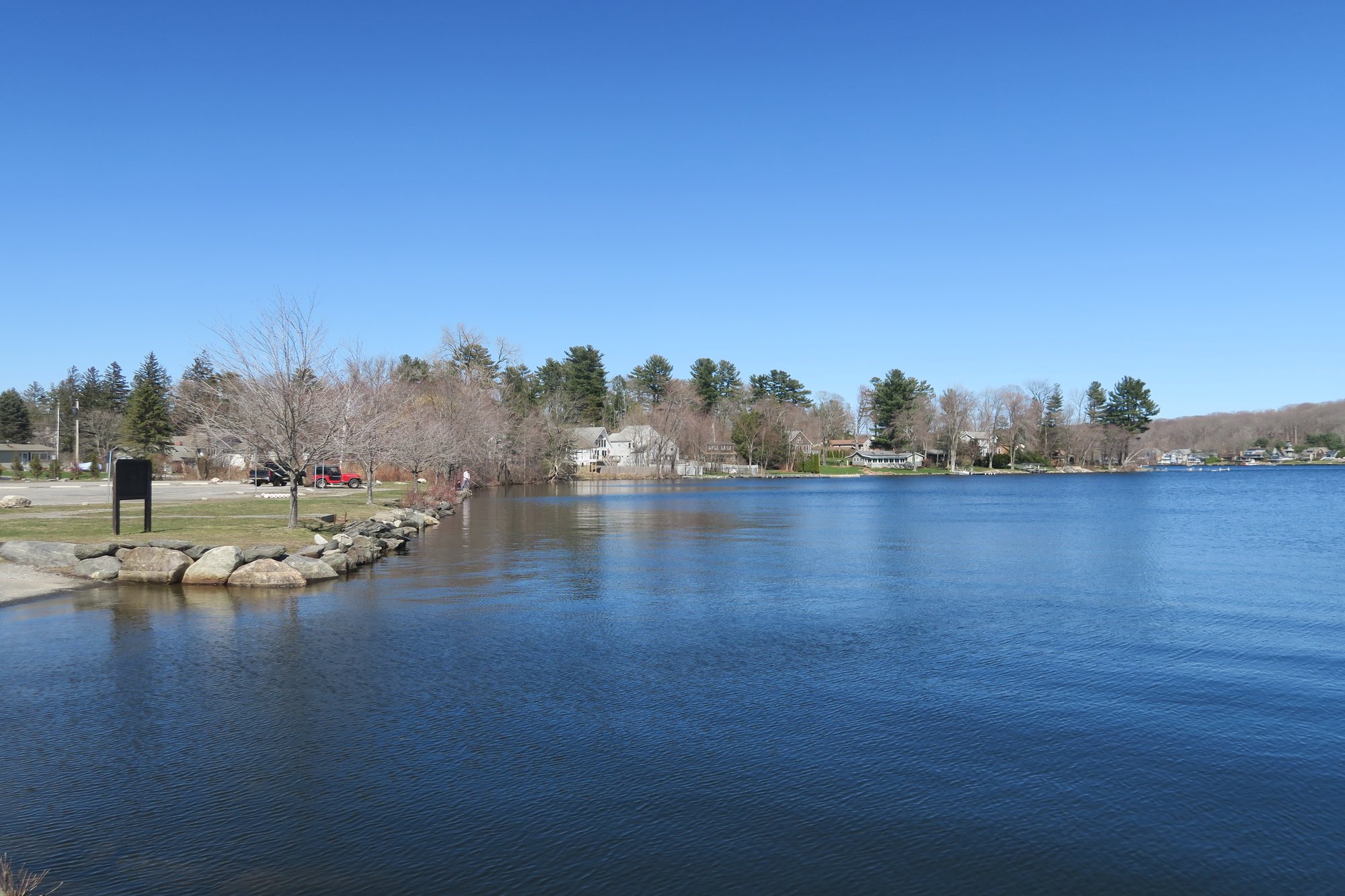
Bantam Lake
- Boat Ramps
- 1
- Access Points
- 1
- Campsites
- 1
Bantam Lake, Connecticut's largest natural lake, offers paddlers a diverse and accessible experience. Covering nearly 950 acres with 10 miles of shoreline, the lake provides ample space for exploration. Multiple launch points are available, including the State Launch on Route 209 and the White Memorial Campground on North Shore Road. Car-top boats can also be launched from bridges on North Shore Road and Alain White Road.
Paddlers should be aware of specific regulations on Bantam Lake. Motors are prohibited between 11 P.M. and 5 A.M., and there's a 6 mph speed limit in Nick's Cove. Towing sports are not allowed within 150 feet of shore. The lake can experience wakes from motorboats and personal watercraft, so paddlers should be prepared for occasional choppy conditions.
The northern end of Bantam Lake connects to the Bantam River, a flat, slow-moving waterway that can be paddled in either direction. Heading upstream leads to Little Pond, surrounded by marshes and offering excellent wildlife viewing opportunities. Paddlers may spot beavers, birds, turtles, frogs, fish, and dragonflies. Lucky visitors might even catch a glimpse of a river otter or bald eagle.
Sandy Beach, located on East Shore Road in Morris, is the only public beach on the lake. It features a shaded picnic area and concession stand, providing a pleasant spot for a break. Fishing enthusiasts can target large and smallmouth bass, calico bass, pickerel, perch, sunfish, and bullhead. The lake also supports a northern pike population.
For those interested in camping, the White Memorial Foundation operates two campgrounds on the lake: Point Folly, with 47 sites on a peninsula, and Windmill Hill, offering 18 sites in a pine forest setting.
Winter brings additional activities to Bantam Lake, including ice fishing and ice boating, though paddlers should exercise caution during colder months and be aware of ice conditions.
Water access, boat ramps & amenities
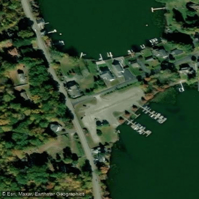
Learn how to get on Bantam Lake. Uncover great paddling access points, boat ramps, and all the facilities you need for an unforgettable day on the water. Some locations shown may border or include private property. Always check property boundaries and applicable regulations before visiting. PaddleWays's Public & Private Land layer can help you plan your access with confidence.
Paddle smarter with real-time insights
Whether you're en route and conditions shift or you're looking for the best spot based on current flows, we enable you to make informed decisions on the fly.








Find Places to Paddle

Over 400,000 Places to Paddle
Every user gets free access to launch points, boat ramps, and public property parcels.


Water and weather conditions (10 day forecast)
See the best times to paddle Bantam Lake and check the forecast before you go.
No forecast data available.
Paddling near Bantam Lake

Housatonic River
Farmington River
Long Island Sound

Connecticut River
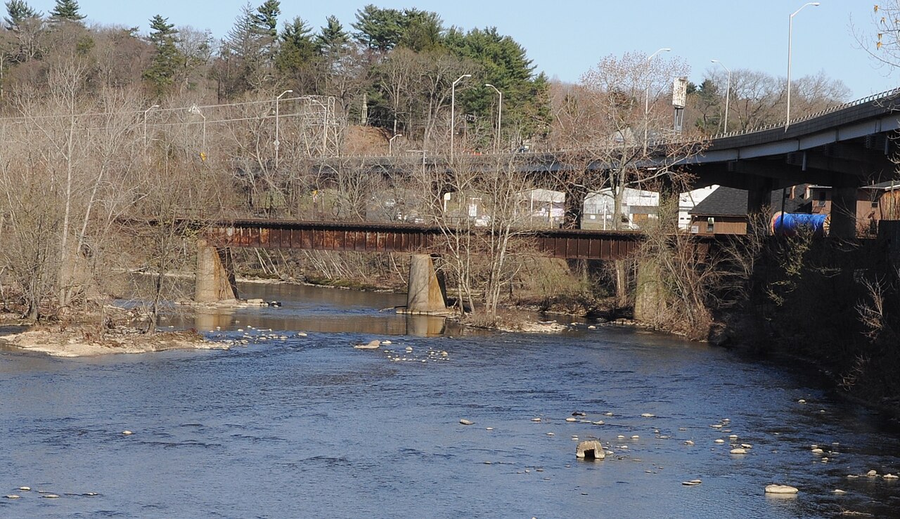
Naugatuck River
The Straits
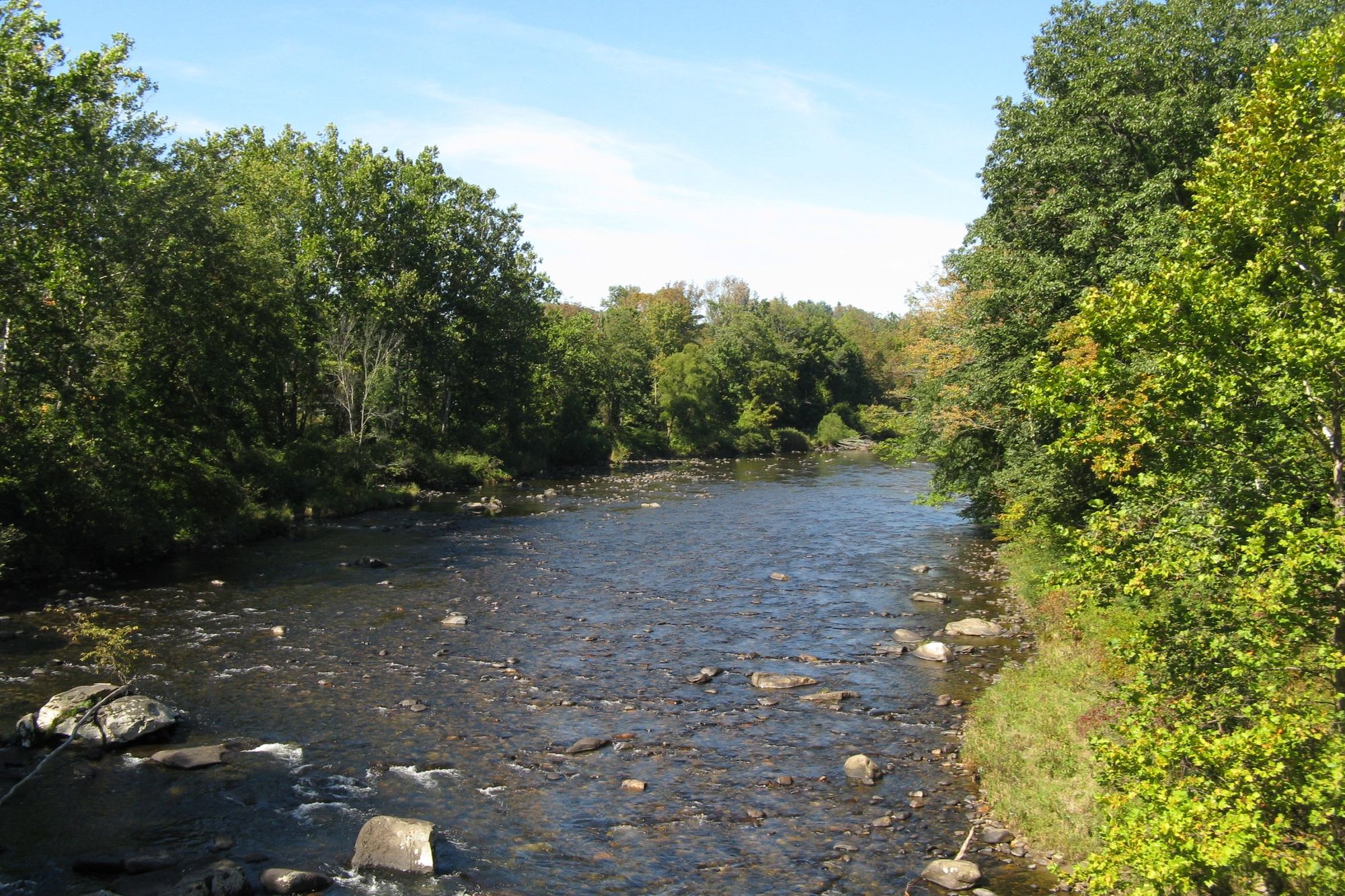
Westfield River

Hudson River
Twomile Island Bar
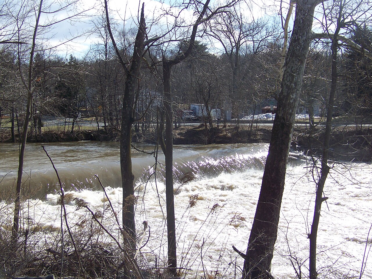
Wappinger Creek
Explore Connecticut waters
Top paddling waters
Popular Cities
Loading popular cities...
Explore near Bantam Lake
Access points
Nearby waters
More in Connecticut

Smarter Paddling Starts in the App.
Paddleways gives you everything you need to plan smarter, paddle better, and own every trip from first launch to takeout.