Curated by PaddleWays
RouteClass I–III
- Distance
- 4 mi
- Paddle time
- ~1 hr
- Put-in → take-out
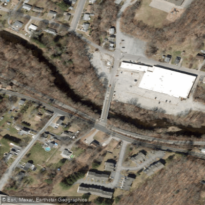
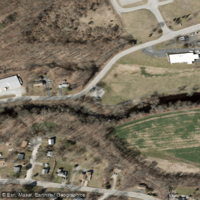
- Bozrah Access → Pleasant Street Access
Low water may hinder navigability in summer
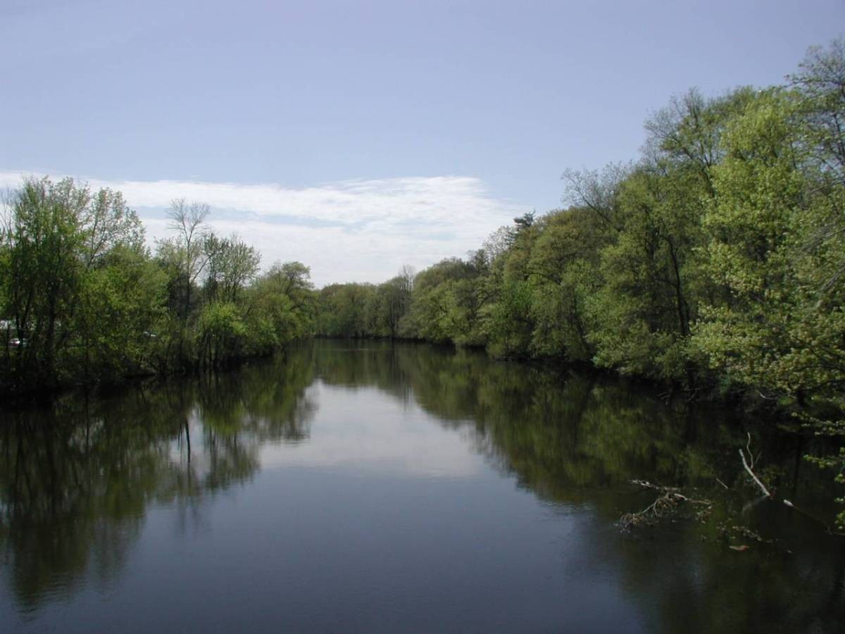
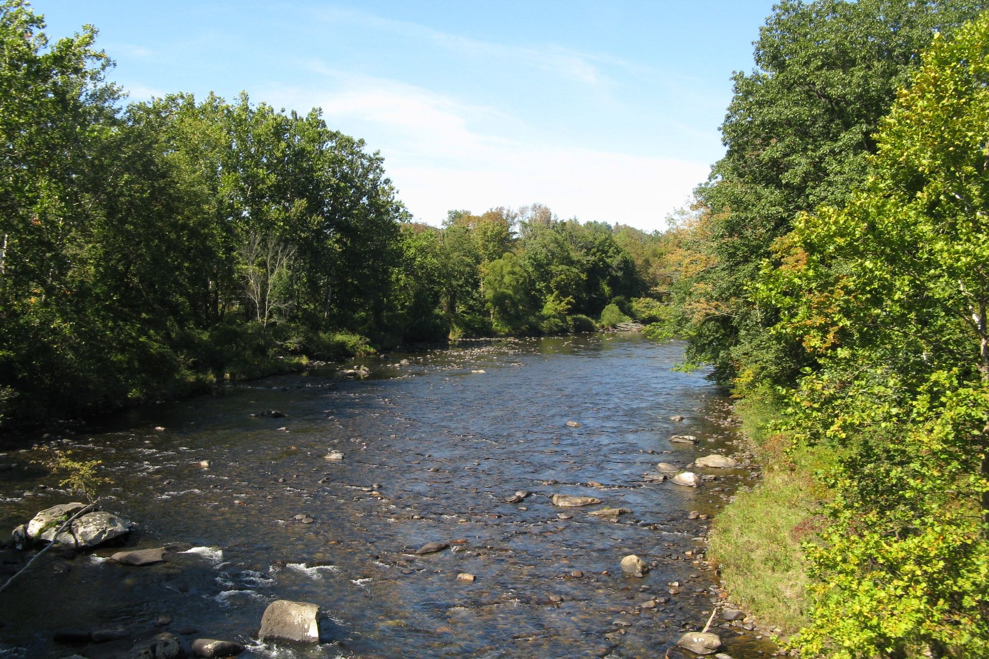
The Yantic River is a scenic 14.2-mile waterway located in eastern Connecticut, flowing through the towns of Lebanon and Norwich before joining the Shetucket River to form the Thames River. This picturesque river offers paddlers a diverse range of experiences, from tranquil flatwater sections to exciting whitewater rapids, making it a popular destination for both novice and experienced kayakers and canoeists.
The river can be divided into several distinct paddling sections, each with its own character. The upper reaches near Lebanon provide a more secluded, natural setting, while the lower sections near Norwich offer a unique blend of urban and natural landscapes.
One of the most popular routes is the Norwich Harbor Loop, a 2.2-mile round trip that begins and ends at Howard T. Brown Memorial Park in Norwich. This urban paddle takes you up the east branch of the Yantic River to the impressive Yantic Falls, also known as Indian Leap, before returning via the west branch.
For those seeking more adventure, the Yantic Falls Whitewater Section offers a mix of quickwater and Class I-III rapids, attracting whitewater enthusiasts from around the region. The difficulty of the river ranges from flatwater to Class III, depending on the section and water levels, making it suitable for a wide range of skill levels.
The best time to paddle the Yantic River is typically from spring through fall, with spring offering higher water levels for whitewater enthusiasts. However, paddlers should be aware that water levels can be too low in summer, particularly in the upper sections, affecting navigability. It's always wise to check water levels and weather conditions before planning your trip.
The river corridor supports a diverse ecosystem, with opportunities to spot various bird species, fish, and potentially even the occasional deer or fox along the shoreline. Part of the river is classified as a Trout Management Area by the Connecticut Department of Energy and Environmental Protection, highlighting its importance for local wildlife.
Notable landmarks along the Yantic include the historic Yantic Falls, the Fitchville Pond Dam, and the Norwich Harbor area where the Yantic meets the Shetucket and Thames Rivers. The river passes through both rural and urban landscapes, offering paddlers a unique perspective on the region's geography and history.
Access points for the river can be found in several locations, with popular put-ins including Bozrah Town Park on Stockhouse Road in Bozrah and Howard T. Brown Memorial Park in Norwich. The river's proximity to Norwich makes it easily accessible for both locals and visitors to the area.
The Yantic River holds significant historical and cultural importance to the region. It played a crucial role in the early industrial development of Norwich and continues to be an important recreational resource. In recognition of its value, the Yantic River was designated a State of Connecticut Greenway in 2013.
Safety considerations for paddling the Yantic River include being aware of water levels, particularly in the whitewater sections, and potential hazards such as strainers or low-head dams. Paddlers should always wear appropriate safety gear, including life jackets, and be prepared for changing conditions.
While the Yantic River is primarily suited for day trips, its connection to the larger Thames River system offers opportunities for multi-day adventures for those looking to explore more of Connecticut's waterways. Whether you're seeking a peaceful float through nature or an adrenaline-pumping whitewater experience, the Yantic River offers a paddling adventure for everyone.
Curated routes
Hand-picked by the PaddleWays team, with put-ins, take-outs, paddle times and the hazards along the way.
RouteClass I–III
Hazards
No paddler has reported a hazard here yet, so these are the dams, falls and big rapids on our map. Hazards change with flows and storms, so check them before you launch.
From the community
Nobody has shared a trip on Yantic River yet. Paddle it, then tell the next paddler how it went.
jerry B. •
ran this at just under 50cfs and 1.4ft. it was just barely runnable but we got out and walked our kayaks just about as much as we actually paddled them. seems like it’ll be a nice run with much higher water
See exactly where the public can get on and off the river. Launch points and boat ramps are paired with PaddleWays' public land data so you know where you can legally land.
Public shoreline
2%of the river's shoreline is public
Most of the riverbank is private. Launch, land and camp only at public access points.
Flows, weather and a route-by-route verdict, so you know which stretch of the Yantic River is worth paddling today.
Live flows, marked hazards and fresh trip reports from paddlers who were just on the water, all in one place.





Every user gets free access to launch points, boat ramps, and public property parcels.
Loading popular cities...
PaddleWays gives you everything you need to plan smarter, paddle better, and own every trip from first launch to takeout.