Lost Creek Kayak Trail Put-In (Challenging, refer to comments)
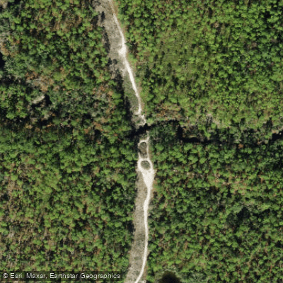
Lost Creek Kayak Trail Put-In (Challenging, refer to comments)
Lost Creek offers some of the most challenging canoeing on the Apalachicola National Forest due to numerous sharp bends and frequent obstructions.
Access the put-in by driving north along the powerline right-of-way from Forest Highway 13, with parking available at the site.
Water levels are critical—check the USGS stream gauge before paddling; readings above 4.5 feet indicate good conditions, while levels below 2.3 feet make the creek impassable, and 2.3-4.5 feet means frequent log obstacles requiring portaging.
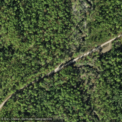
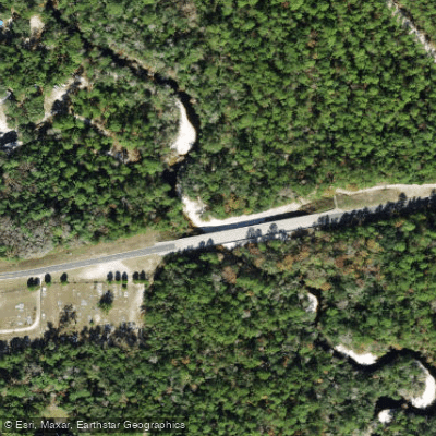
Nearby points of interest
Find excellent paddling spots, easy access to boat ramps, and all the amenities you need for a memorable day. Your adventure starts here.
Water and weather conditions (10 day forecast)
Check the forecast at Lost Creek Kayak Trail Put-In (Challenging, refer to comments) before you go paddling.
No forecast data available.
Paddling near Lost Creek Kayak Trail Put-In (Challenging, refer to comments)
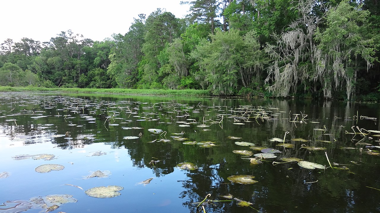
Lake Talquin
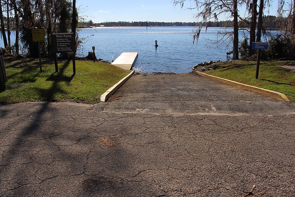
Lake Seminole
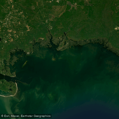
Apalachee Bay
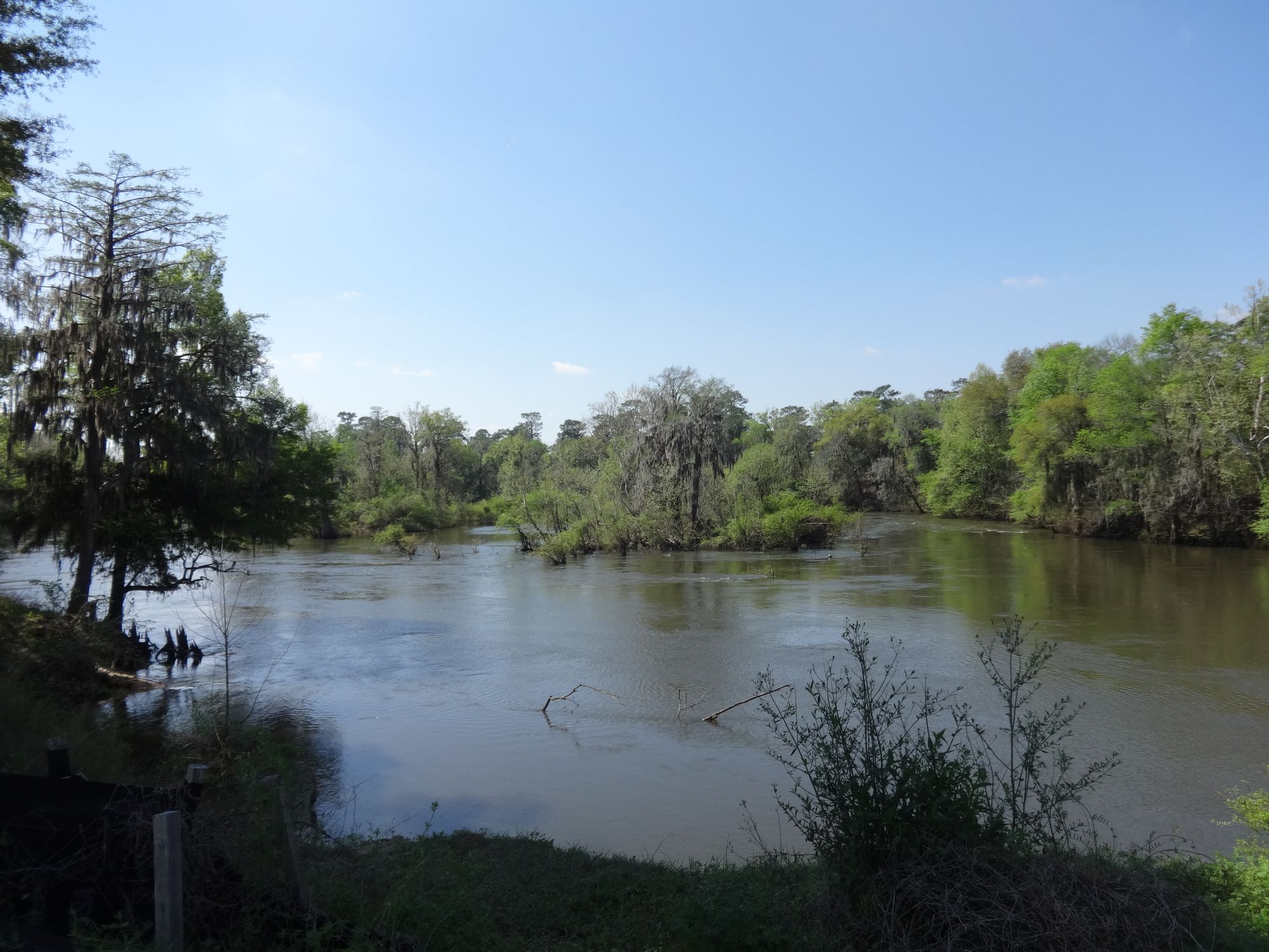
Flint River
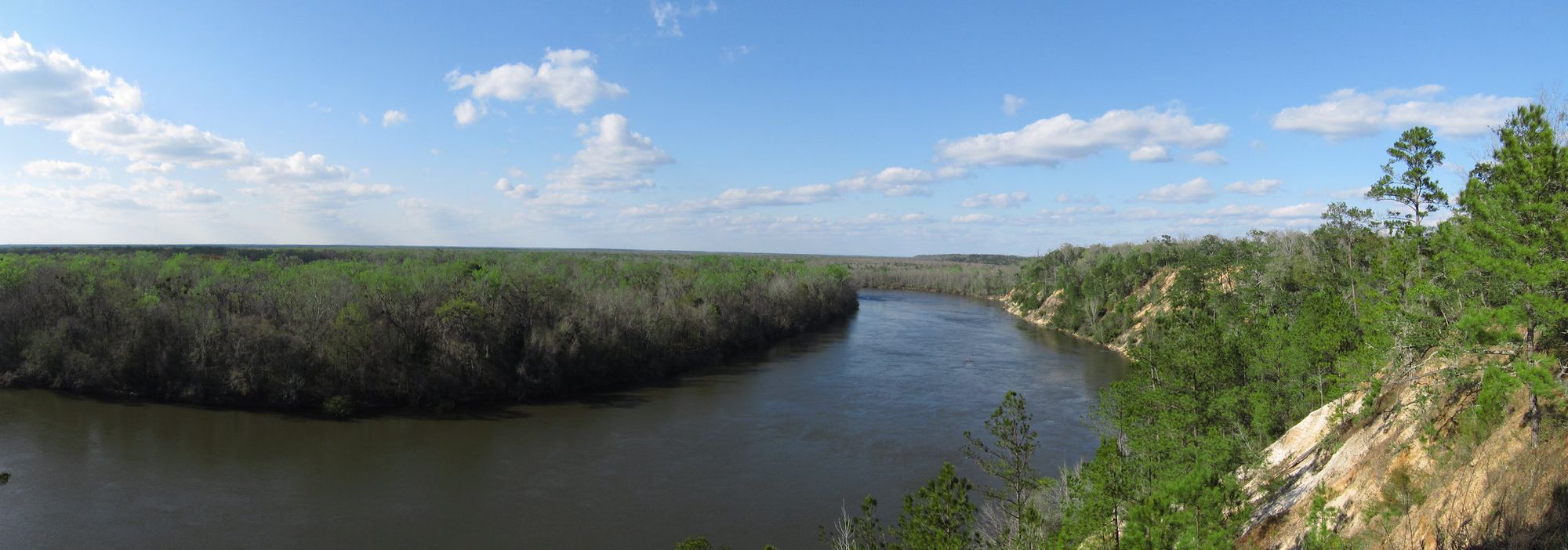
Apalachicola River
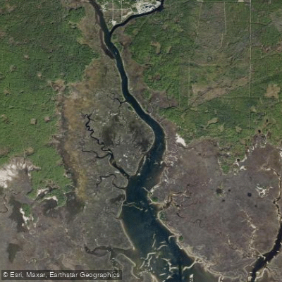
Saint Marks River
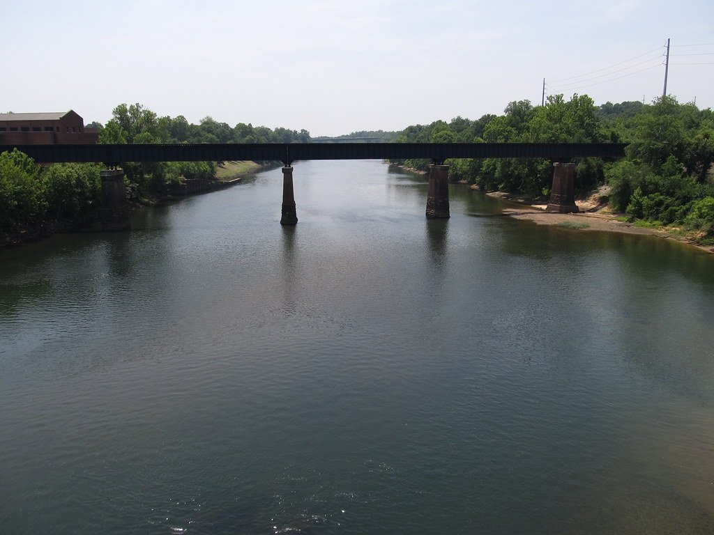
Chattahoochee River
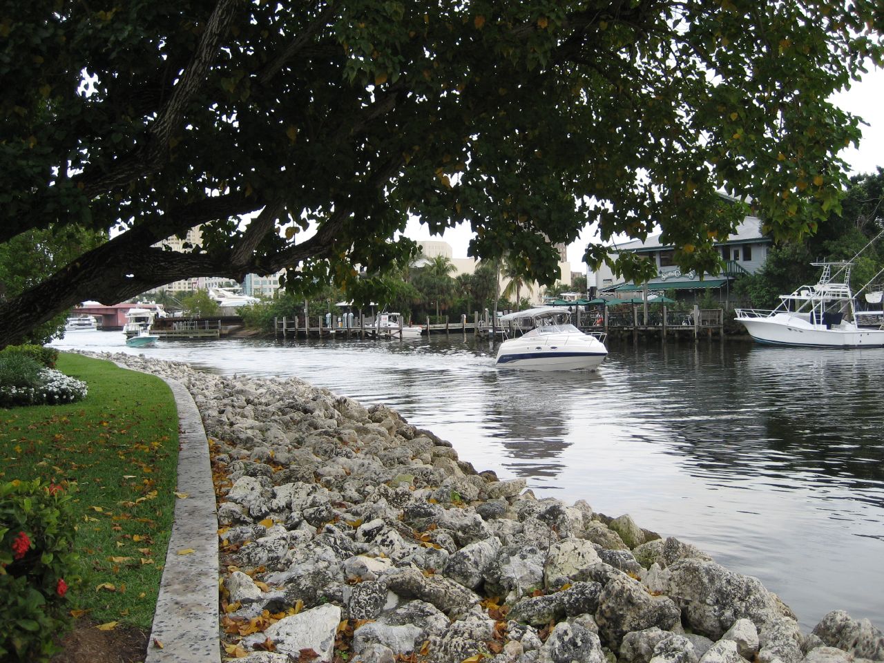
New River
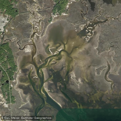
Goose Creek Bay
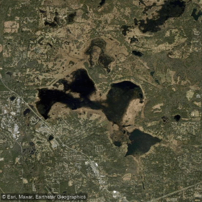
Lake Jackson
Florida licenses and regulations
Explore Florida waters
Top paddling waters
No waters available right now.
Popular Cities
Loading popular cities...
Explore near Lost Creek Kayak Trail Put-In (Challenging, refer to comments)
Nearby waters
More in Florida

Smarter Paddling Starts in the App.
PaddleWays gives you everything you need to plan smarter, paddle better, and own every trip from first launch to takeout.