Goose Creek Bay
- Saltwater
- Bay
Goose Creek Bay
- Saltwater
- Bay
- Sq. miles
- 3.1
- Boat Ramps
- 2
- Access Points
- 0
- Campsites
- 2
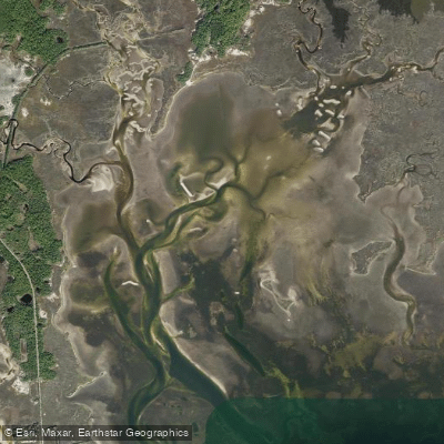
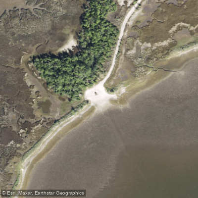
Goose Creek Bay is a coastal bay within the St. Marks National Wildlife Refuge on Florida's Big Bend coast. The primary paddling route is a designated 6-mile, one-way trail best suited for intermediate to advanced paddlers. The trip begins at Shell Point Beach, where paddlers should be aware of open water that can become choppy in windy conditions. The route then heads east along the shoreline, passing Walker Creek and Live Oak Island before entering the more sheltered waters of Goose Creek Bay itself, where numerous inlets and side creeks, such as Shepherd’s Spring, invite exploration. The trail concludes at the Wakulla Beach Boat Ramp, which also serves as the primary launch point for shorter, out-and-back trips. Access to this ramp is via Wakulla Beach Road, a graded dirt road through the refuge that can feature soft sand, deep holes, and muddy ditches. The launch site itself is a primitive bank access with a sand ramp, offering parking, a dock, and restrooms. Paddling conditions here are tidal, and the recommended strategy is to time the trip with an incoming tide for the easiest conditions. The bay's waters are generally calm and sheltered, making the launch area suitable for beginners on shorter excursions, but the full trail involves open water exposure at the start. The area is part of the Apalachee Bay Maritime Heritage Paddling Trail System and the Florida Circumnavigational Saltwater Paddling Trail. Wildlife viewing is a significant draw, with frequent dolphin sightings and excellent opportunities for birdwatching and photography amidst the scenic marsh and pine flatwood landscapes of the national wildlife refuge.
Water access, boat ramps & amenities
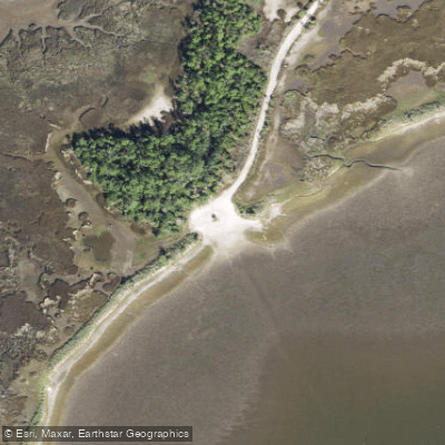
Learn how to get on Goose Creek Bay. Uncover great paddling access points, boat ramps, and all the facilities you need for an unforgettable day on the water. Some locations shown may border or include private property. Always check property boundaries and applicable regulations before visiting. PaddleWays's Public & Private Land layer can help you plan your access with confidence.
Paddle smarter with real-time insights
Whether you're en route and conditions shift or you're looking for the best spot based on current flows, we enable you to make informed decisions on the fly.








Find Places to Paddle

Over 400,000 Places to Paddle
Every user gets free access to launch points, boat ramps, and public property parcels.


Tides, wind & water conditions (10 day forecast)
On open water, wind and tide matter as much as the weather. See the best times to paddle Goose Creek Bay and check the marine forecast before you launch.
Loading tide predictions…
Paddling near Goose Creek Bay
Lake Talquin
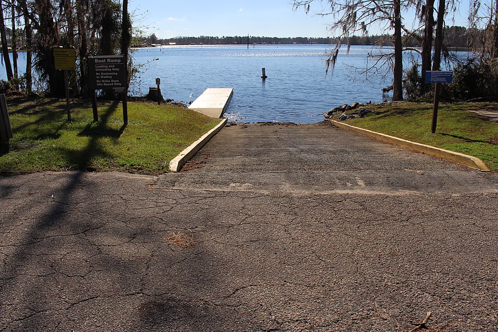
Lake Seminole
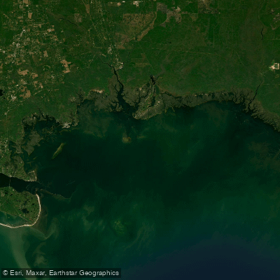
Apalachee Bay

Flint River
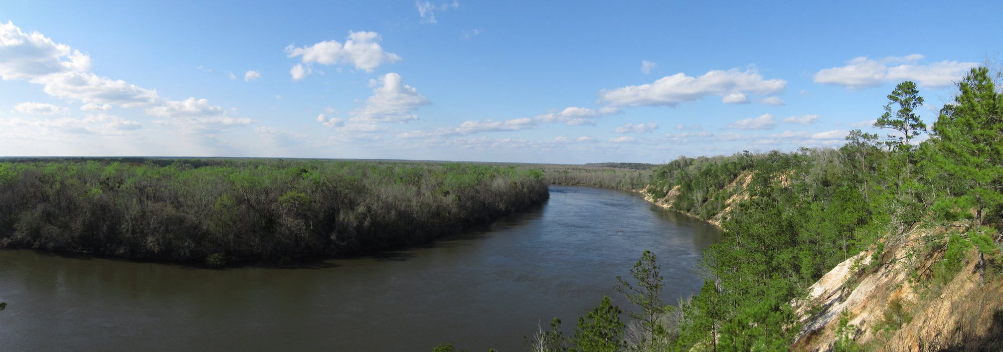
Apalachicola River
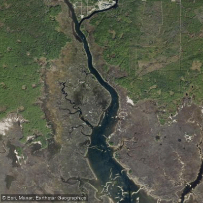
Saint Marks River

Chattahoochee River
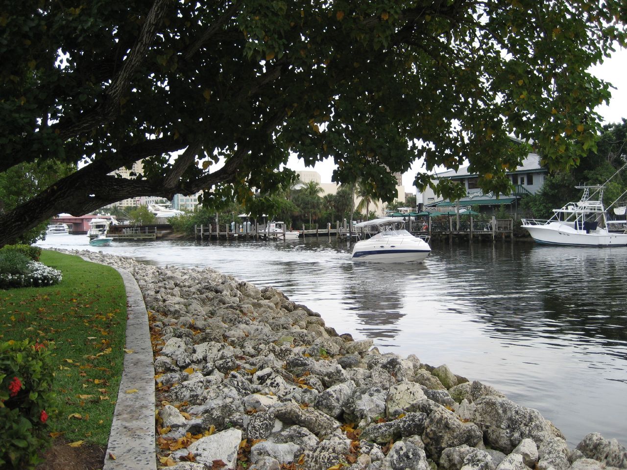
New River
Lake Jackson
Explore Florida waters
Top paddling waters
Popular Cities
Loading popular cities...
Explore near Goose Creek Bay
Access points
Nearby waters
More in Florida

Smarter Paddling Starts in the App.
Paddleways gives you everything you need to plan smarter, paddle better, and own every trip from first launch to takeout.