Apalachicola River
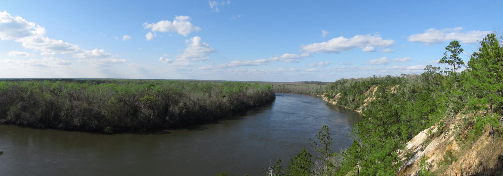
Apalachicola River
- Boat Ramps
- 2
- Access Points
- 2
- Campsites
- 23
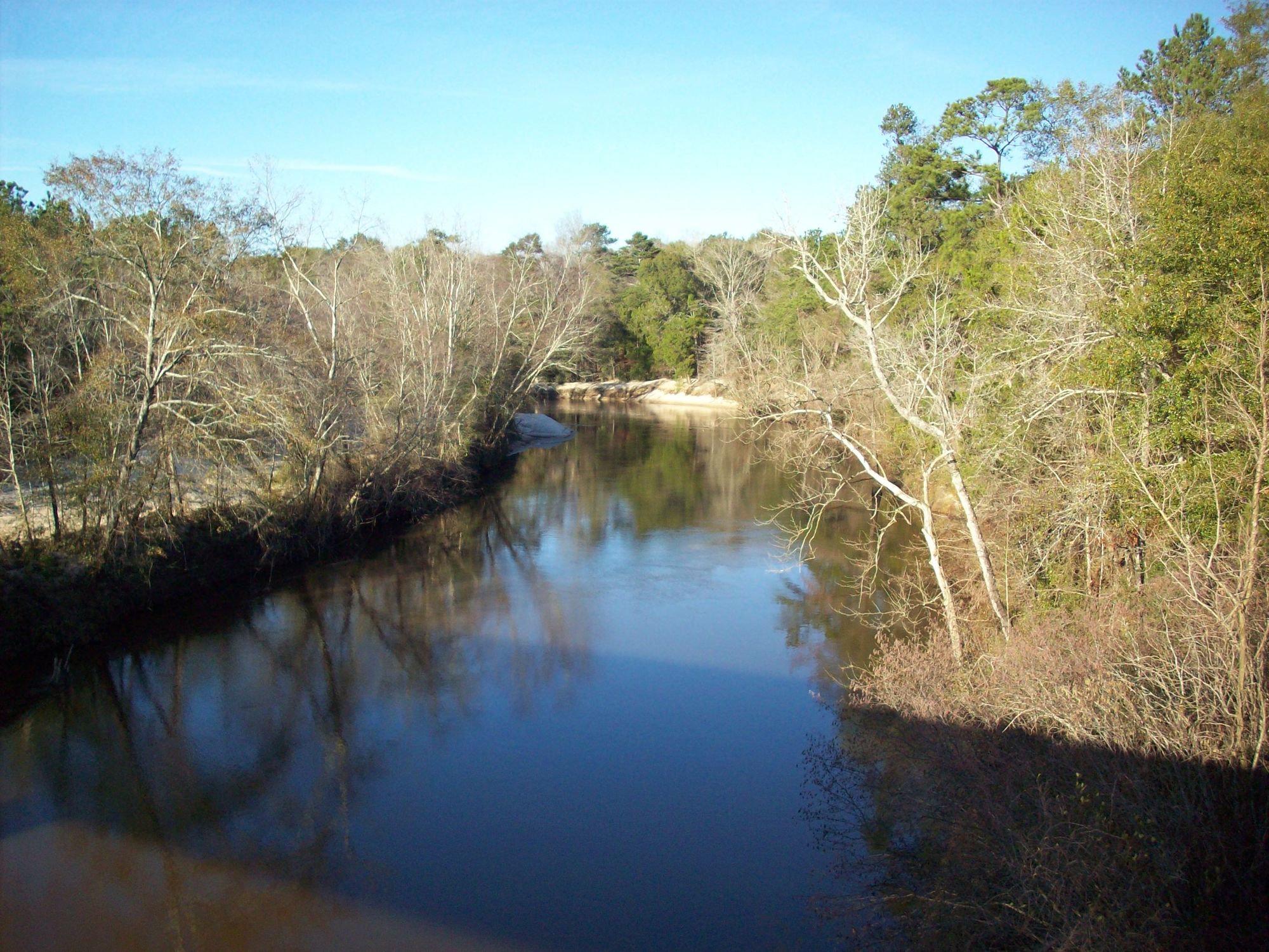
The Apalachicola River is a majestic waterway in the Florida Panhandle, flowing south for 107 miles from its origin at the confluence of the Chattahoochee and Flint Rivers at the Florida-Georgia border to Apalachicola Bay on the Gulf of Mexico. As the lifeblood of the region, it drains a watershed of over 19,500 square miles. Paddling opportunities abound on the Apalachicola, with options ranging from day trips to multi-day adventures. The upper section from Chattahoochee to Bristol features scenic high bluffs and swift currents, while the lower reaches transition to a braided delta with numerous sloughs and tributaries.
Popular paddling routes include the Graham Creek and East River trips near Apalachicola, and the full river journey from Chattahoochee to Apalachicola Bay. The river is primarily flatwater, suitable for beginners to intermediate paddlers, though wind and tides can create challenging conditions in the lower delta. Spring and fall offer ideal paddling weather, while summer brings heat and potential thunderstorms. Winter paddling is possible but requires cold-weather gear.
The Apalachicola's ecosystem is incredibly diverse, supporting over 1,300 plant species and numerous animals including alligators, bald eagles, and the endangered fat threeridge mussel. Towering cypress and tupelo trees line the banks, while rare Florida torreya trees cling to the upper river's steep bluffs. Key landmarks include Torreya State Park, the Apalachicola Bluffs and Ravines Preserve, and the historic town of Apalachicola. Native American history in the region dates back millennia, with the river playing a crucial role in transportation and commerce.
Primary access points include the boat ramp in Chattahoochee, landings at Bristol and Estiffanulga, and multiple launches in the Apalachicola delta area. Paddlers should be aware of motorboat traffic, especially in the lower river, and check water levels before trips. Multi-day trips are popular, with the full 107-mile journey typically taking 4-5 days. The annual RiverTrek event each October sees paddlers complete this trip to raise awareness for river conservation. Primitive camping is available on sandbars at lower water levels.
As a vital ecological and economic resource, the Apalachicola River faces challenges from reduced water flow and environmental pressures. Paddlers are encouraged to practice Leave No Trace principles and support conservation efforts to protect this remarkable waterway for future generations.
Water access, boat ramps & amenities
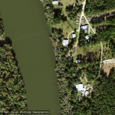
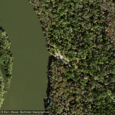
Learn how to get on Apalachicola River. Uncover great paddling access points, boat ramps, and all the facilities you need for an unforgettable day on the water. Some locations shown may border or include private property. Always check property boundaries and applicable regulations before visiting. PaddleWays's Public & Private Land layer can help you plan your access with confidence.
Paddle smarter with real-time insights
Whether you're en route and conditions shift or you're looking for the best spot based on current flows, we enable you to make informed decisions on the fly.








Find Places to Paddle

Over 400,000 Places to Paddle
Every user gets free access to launch points, boat ramps, and public property parcels.


Water and weather conditions (10 day forecast)
See the best times to paddle Apalachicola River and check the forecast before you go.
APALACHICOLA RIVER AT CHATTAHOOCHEE FLA
All Flow Stations
Paddling near Apalachicola River
Explore Florida waters
Top paddling waters
Popular Cities
Loading popular cities...
Explore near Apalachicola River
Access points
Nearby waters
More in Florida

Smarter Paddling Starts in the App.
Paddleways gives you everything you need to plan smarter, paddle better, and own every trip from first launch to takeout.