Apalachee Bay
- Saltwater
- Bay
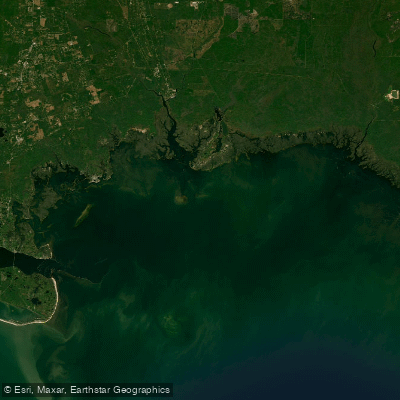
Apalachee Bay
- Saltwater
- Bay
- Sq. miles
- 132
- Boat Ramps
- 5
- Access Points
- 0
- Campsites
- 8
Apalachee Bay is a broad, shallow coastal bay in Florida's Big Bend region, bounded by the Ochlockonee River to the west and the Econfina River to the east. It covers a surface area of 412 square kilometers with an average depth of only 3.0 meters. The bay's coastline is largely protected as part of the St. Marks National Wildlife Refuge, characterized by vast seagrass beds, marshes, and clear, shallow waters without industrial development. Paddling here involves navigating a network of embayments, rivers, creeks, and islands, with conditions heavily influenced by wind and tide. The bay is rife with oyster bars, shallow water, rocks, and submerged pilings, requiring careful navigation and a detailed, current chart.
Primary access for paddlers is through the Apalachee Bay Maritime Heritage Paddling Trail System, which consists of ten designated trails. Most trails are located in Wakulla County between the communities of Panacea and St. Marks and are designed to be completed in two to three hours. Specific launch points include the Shell Point Public Boat Ramp and the Levy Bay (Circle Point) Public Boat Ramp near Panacea, as well as the St. Marks Riverfront Park and Launch. The Mashes Sands Recreational Facility serves as a put-in for the 6.6-mile Mashes Sands Paddling Trail, which circles Mash Island and proceeds to the Levy Bay Boat Ramp. These are public launches, with some charging a five-dollar fee and offering amenities like parking, docks, and restrooms.
The paddling experience is defined by significant tidal influence and open water exposure. Paddlers are advised to time trips around slack tide for the easiest conditions and to be prepared for coastal winds that can quickly build chop across the bay's open stretches. While some launches like Shell Point offer calmer, sheltered water suitable for beginners, venturing into the main bay or crossing channels requires awareness of boat traffic, especially from motorboats during scallop and fishing seasons. Wildlife viewing is a major highlight, with frequent sightings of manatees, dolphins, bald eagles, osprey, pelicans, a wide variety of wading birds, and, along the shore, species like black bear and white-tailed deer. The area holds historical significance, with evidence of ancient shell middens and more recent Apalachee Indian settlements, as well as the Spanish fort at St. Marks.
Water access, boat ramps & amenities
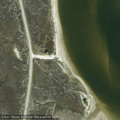
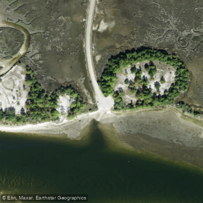
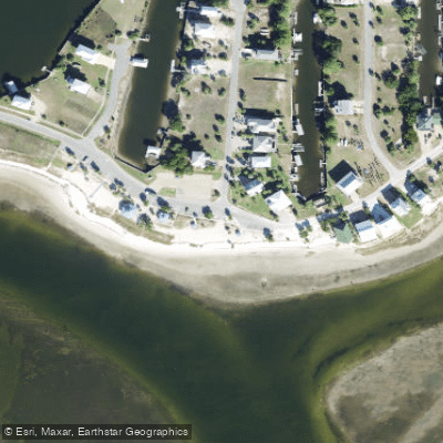
Learn how to get on Apalachee Bay. Uncover great paddling access points, boat ramps, and all the facilities you need for an unforgettable day on the water. Some locations shown may border or include private property. Always check property boundaries and applicable regulations before visiting. PaddleWays's Public & Private Land layer can help you plan your access with confidence.
Paddle smarter with real-time insights
Whether you're en route and conditions shift or you're looking for the best spot based on current flows, we enable you to make informed decisions on the fly.








Find Places to Paddle

Over 400,000 Places to Paddle
Every user gets free access to launch points, boat ramps, and public property parcels.


Tides, wind & water conditions (10 day forecast)
On open water, wind and tide matter as much as the weather. See the best times to paddle Apalachee Bay and check the marine forecast before you launch.
Loading tide predictions…
Paddling near Apalachee Bay
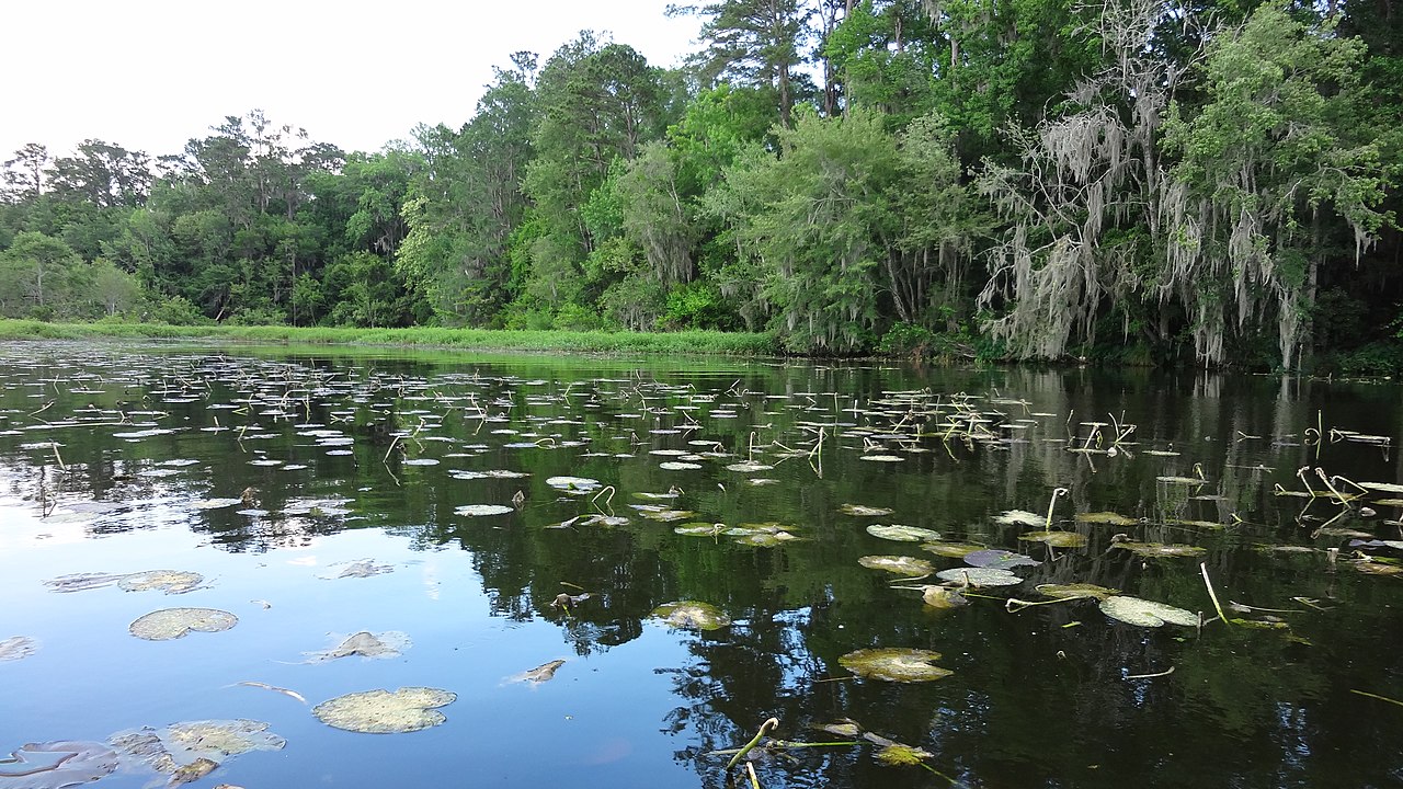
Lake Talquin
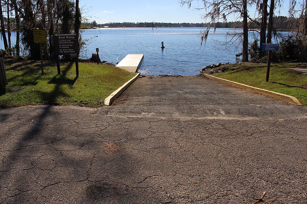
Lake Seminole

Flint River
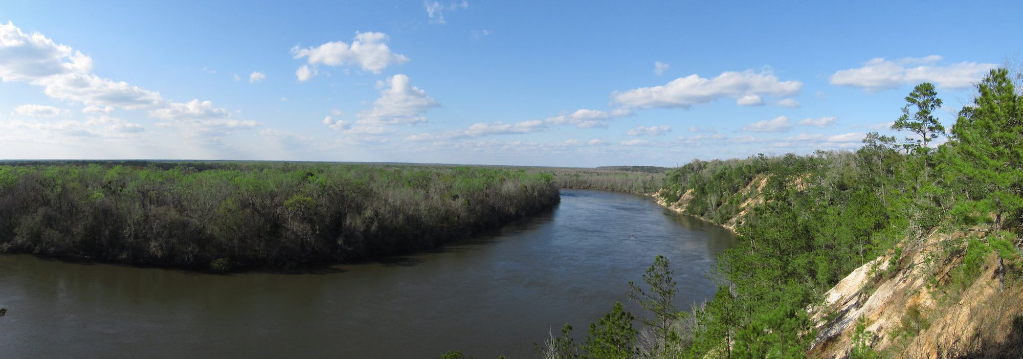
Apalachicola River
Saint Marks River

Chattahoochee River
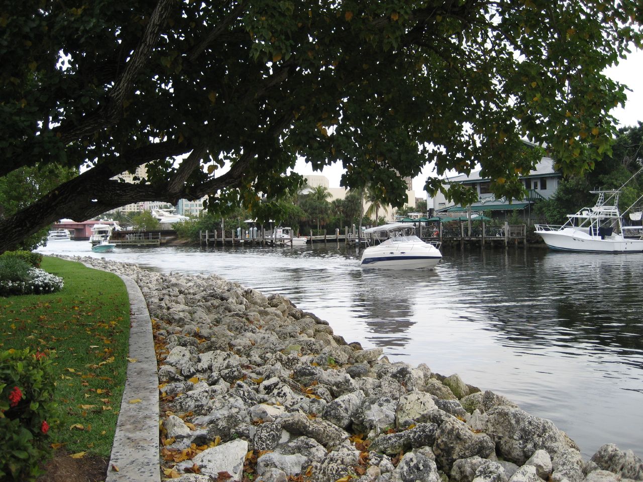
New River
Goose Creek Bay
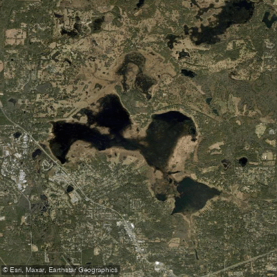
Lake Jackson
Explore Florida waters
Top paddling waters
Popular Cities
Loading popular cities...
Explore near Apalachee Bay
Access points
- Bottoms Road Primitive Access (Closed - Blocked)
- Bottoms Road Boat Ramp
- Shell Point Park Beach Hobie Cat and Kayak Launch
- Mashes Sands Park Kayak Access
- Shell Point Public Boat Ramp
- Ulmore Bayou Bridge
- Aucilla River Bridge
- Otter Creek Bridge
- Panacea Rv Park Campground
- Pinhook Campground
- Holiday Campground
- Holiday Park Campground And Campground
- All 16 spots
Nearby waters
More in Florida

Smarter Paddling Starts in the App.
Paddleways gives you everything you need to plan smarter, paddle better, and own every trip from first launch to takeout.