Saint Marks River
- Saltwater
- Tidal river
Saint Marks River
- Saltwater
- Tidal river
- Sq. miles
- 1.3
- Boat Ramps
- 2
- Access Points
- 0
- Campsites
- 3
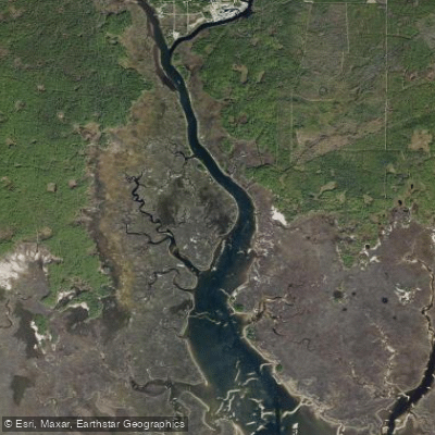
The Saint Marks River is a 36-mile-long, spring-fed tidal river flowing south through Florida's Big Bend region into Apalachee Bay. For paddlers, it offers a mix of protected, scenic stretches and open, tidal waters. The river is characterized by clear, spring-fed sections, overhanging vegetation, and a generally flat, undeveloped shoreline that provides a tranquil, natural setting. A notable geographical feature is a natural bridge where the river disappears underground for a stretch, and it is fed by a first-magnitude spring known as the St. Marks River Rise.
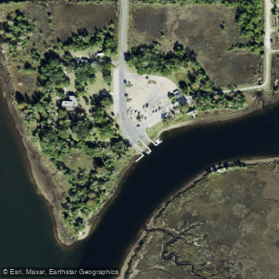
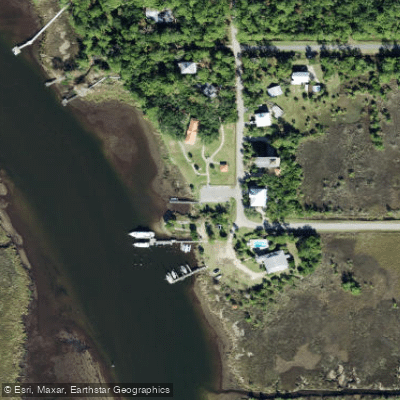
Several access points facilitate paddling trips. Shields Marina, located on Riverside Drive in St. Marks, offers a double boat launch with all-tide access, convenient for kayaks and paddleboards. The Saint Marks River Preserve State Park also provides a boat launch. For hand-launched craft like kayaks and canoes, a ramp on the East River Pool within the Saint Marks National Wildlife Refuge drains into the Saint Marks River. The southern terminus of the Tallahassee-St. Marks Historic Railroad State Trail has a small parking area right across from the trailhead on the river, though parking is not allowed at night. Paddlers should be aware that the river features deep tidal waters, and the old railroad bridge no longer exists, making direct crossing impossible for long-distance hikers on the Florida Trail, a situation that highlights the river's significant tidal influence.
The area is rich in wildlife, with opportunities to see turtles, herons, ducks, osprey, eagles, otters, alligators, and manatees. The surrounding ecosystems include pine flatwoods, scrub, and hardwood hammocks, supporting species like the gopher tortoise and Florida black bear. For amenities, the riverside community of St. Marks offers restaurants like the Riverside Café, which is located directly on the water. Kayak, canoe, and SUP rentals are available from local businesses such as St. Marks Outfitters and T-n-T Hideaway Rental. The best seasons for visiting are fall and winter, and crowd levels are typically low. The river's proximity to the St. Marks National Wildlife Refuge and the paved Tallahassee-St. Marks Historic State Trail adds to the recreational options in the area.
Water access, boat ramps & amenities
Learn how to get on Saint Marks River. Uncover great paddling access points, boat ramps, and all the facilities you need for an unforgettable day on the water. Some locations shown may border or include private property. Always check property boundaries and applicable regulations before visiting. PaddleWays's Public & Private Land layer can help you plan your access with confidence.
Paddle smarter with real-time insights
Whether you're en route and conditions shift or you're looking for the best spot based on current flows, we enable you to make informed decisions on the fly.








Find Places to Paddle

Over 400,000 Places to Paddle
Every user gets free access to launch points, boat ramps, and public property parcels.


Tides, wind & water conditions (10 day forecast)
On open water, wind and tide matter as much as the weather. See the best times to paddle Saint Marks River and check the marine forecast before you launch.
Loading tide predictions…
Paddling near Saint Marks River
Lake Talquin
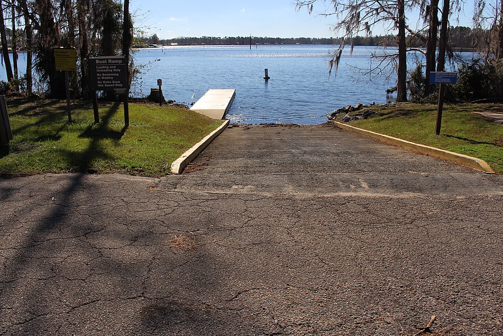
Lake Seminole
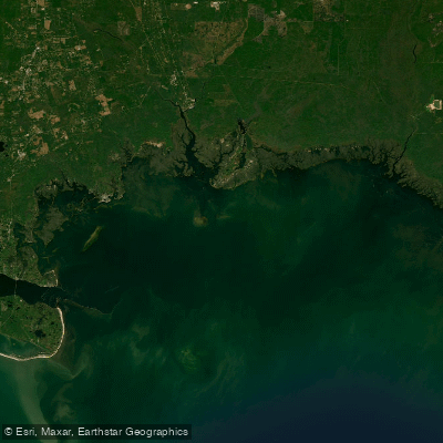
Apalachee Bay

Flint River
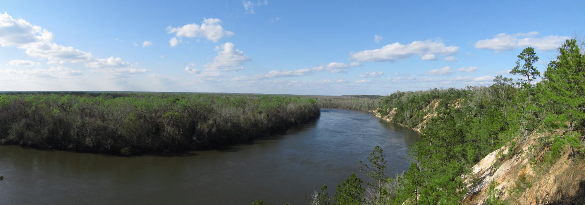
Apalachicola River

Chattahoochee River
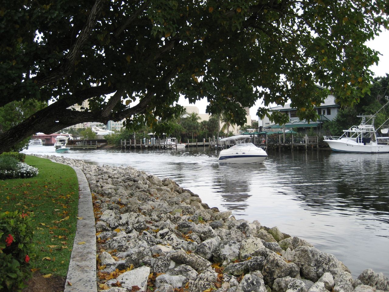
New River
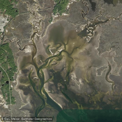
Goose Creek Bay
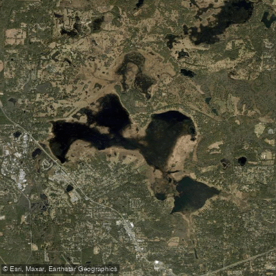
Lake Jackson
Explore Florida waters
Top paddling waters
Popular Cities
Loading popular cities...
Explore near Saint Marks River
Access points
Nearby waters
More in Florida

Smarter Paddling Starts in the App.
Paddleways gives you everything you need to plan smarter, paddle better, and own every trip from first launch to takeout.