Alligator Creek
Alligator Creek
- Boat Ramps
- 1
- Access Points
- 1
- Campsites
- 2
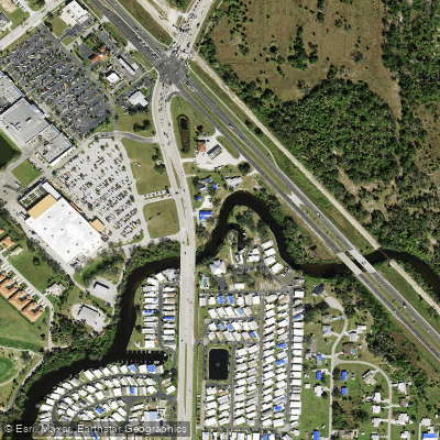
Alligator Creek represents not a single waterway but rather multiple distinct creek systems scattered across Florida, each offering unique paddling experiences shaped by their diverse geographic settings. These waterways span from the inland freshwater environments of north-central Florida to the tidal mangrove-lined estuaries of the Gulf Coast and the backcountry wilderness of the Everglades.
In Bradford County, approximately three miles southeast of Starke, Alligator Creek flows southwesterly from its headwaters into Lake Rowell. This 1.25-mile intimate creek presents a challenging paddle through shallow waters ranging from six inches to two feet, winding through a landscape where farmland meets wetland forest. The banks display contrasting vegetation—field weeds and shrubs including Water Primrose and Trailing Blackberry on one side, with hardwood hammocks and Bald Cypress on the other. The creek's tannin-stained waters move slowly, and paddlers must navigate extremely shallow sections that can make passage difficult during low water periods.
Along Florida's southwest Gulf Coast, several Alligator Creek systems flow through Charlotte and Sarasota counties. In the Punta Gorda area, both the north and south prongs of Alligator Creek provide tidal paddling through central Charlotte County, with waters historically classified as Category I due to their ecological significance. These coastal creeks meander through extensive mangrove tunnels, open coves, and brackish waters where dolphins and stingrays are commonly observed. Little Alligator Creek, accessible from Port Charlotte, offers protected brackish water paddling as part of Florida's Blueway Trail system. Near South Venice, another Alligator Creek provides a peaceful mangrove-lined paddle accessible from the Intracoastal Waterway, described by locals as a "little paradise full of life."
In Everglades National Park, Alligator Creek serves as a critical waterway connecting West Lake through a series of large open lakes—including Long Lake and The Lungs—to Garfield Bight on Florida Bay. This 8.1-mile route to the Alligator Creek ground campsite requires intermediate paddling skills and navigates narrow mangrove-lined creeks between expansive shallow lakes. The journey offers exceptional birding opportunities and the possibility of encountering both alligators and the rare American crocodile.
These creek systems support abundant wildlife including wading birds such as Great Blue Herons and various egret species, ospreys, and bald eagles. Alligators inhabit most locations, particularly in the Everglades and inland waterways. The coastal systems experience significant tidal influence, requiring paddlers to plan trips around tide cycles and weather conditions. Summer heat and afternoon thunderstorms make early morning launches advisable, while winter months offer more comfortable paddling temperatures and reduced insect activity.
Access points range from developed boat ramps with facilities to primitive launches within residential communities, each serving distinct sections of these varied Alligator Creek waterways throughout Florida.
Water access, boat ramps & amenities
Learn how to get on Alligator Creek. Uncover great paddling access points, boat ramps, and all the facilities you need for an unforgettable day on the water. Some locations shown may border or include private property. Always check property boundaries and applicable regulations before visiting. PaddleWays's Public & Private Land layer can help you plan your access with confidence.
Paddle smarter with real-time insights
Whether you're en route and conditions shift or you're looking for the best spot based on current flows, we enable you to make informed decisions on the fly.








Find Places to Paddle

Over 400,000 Places to Paddle
Every user gets free access to launch points, boat ramps, and public property parcels.


Water and weather conditions (10 day forecast)
See the best times to paddle Alligator Creek and check the forecast before you go.
No forecast data available.
Paddling near Alligator Creek
Peace River
Myakka River
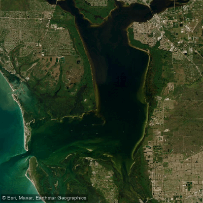
Charlotte Harbor
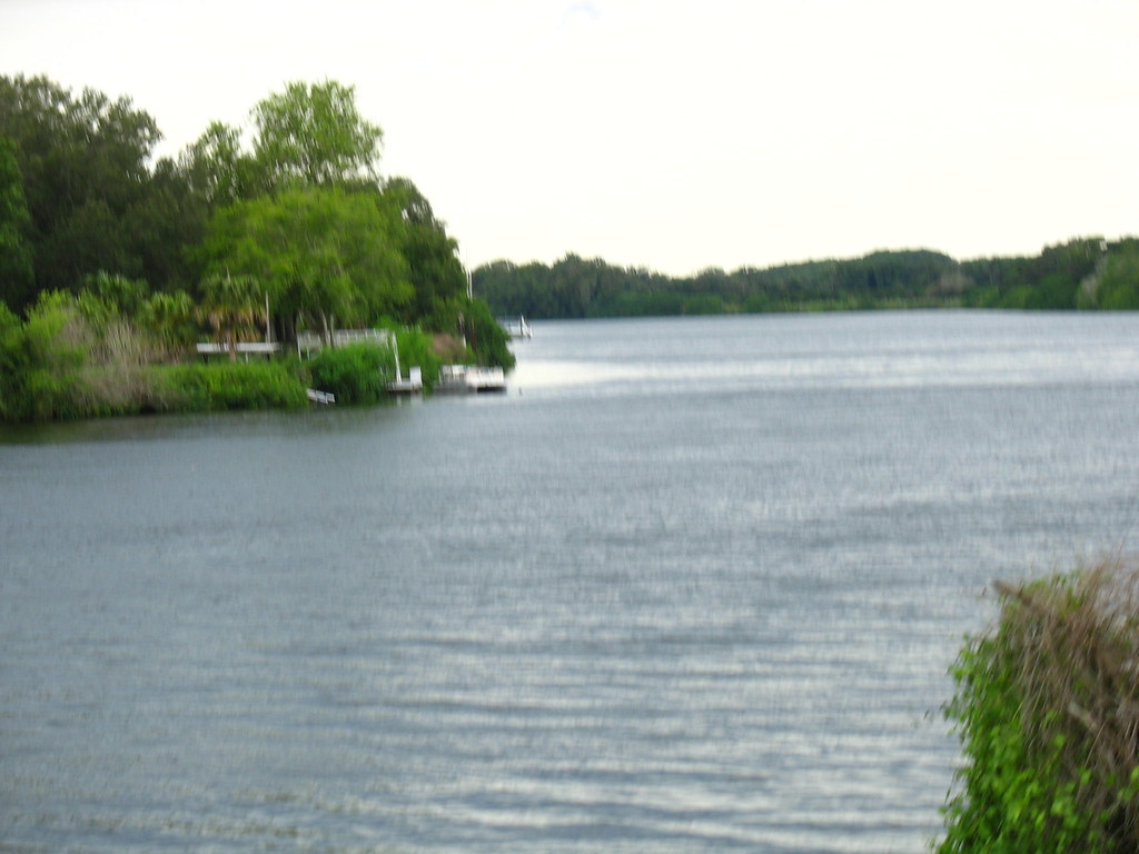
Caloosahatchee River
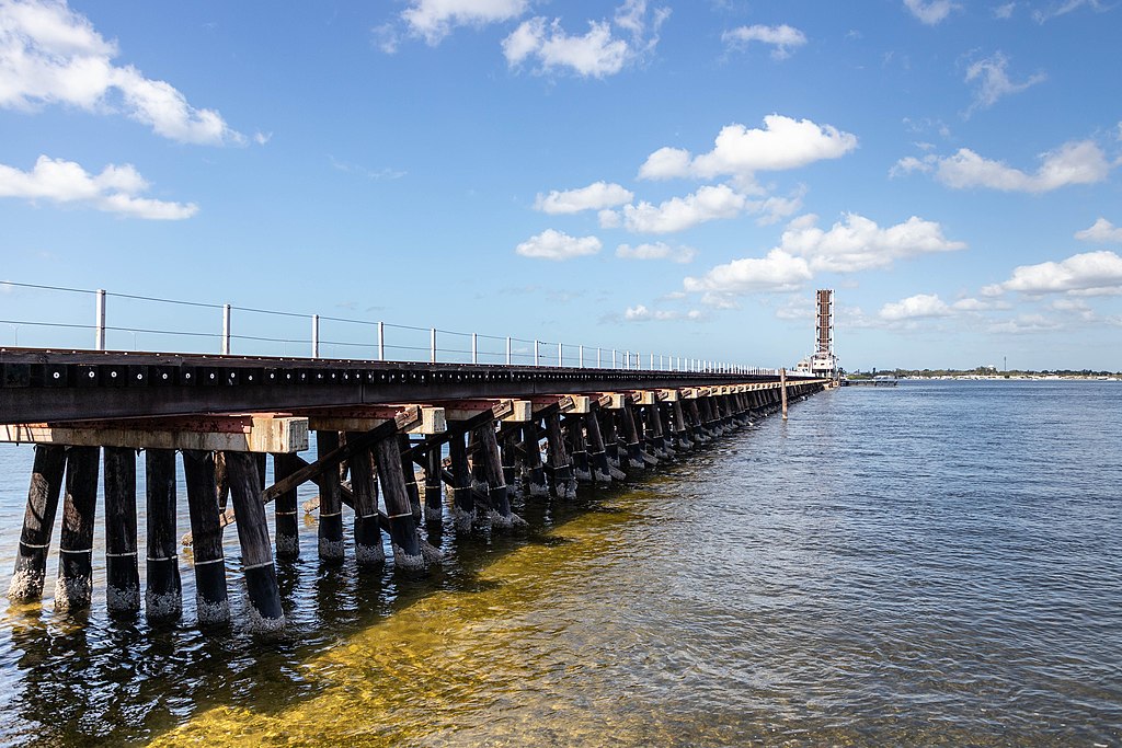
Manatee River
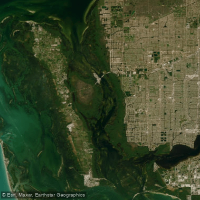
Matlacha Pass
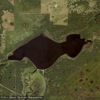
Lake Myakka
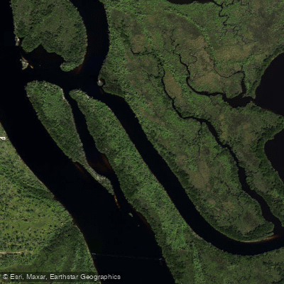
Hunter Creek
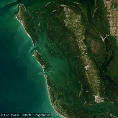
Pine Island Sound
Explore Florida waters
Top paddling waters
Popular Cities
Loading popular cities...
Explore near Alligator Creek
Access points
- Allapatchee Shores Park Canoe and Kayak Launch
- Alligator Creek Bridge
- Alligator Creek Bridge
- Alligator Creek Bridge
- Alligator Creek Bridge
- Alligator Creek Bridge
- N Fork Alligator Crk Bridge
- N Fork Alligator Creek Bridge
- Broad Creek Bridge
- Broad Creek Bridge
- Myrtle Slough Bridge
- Fred C. Babcock Wildlife Management Campground
- All 13 spots
Nearby waters
More in Florida

Smarter Paddling Starts in the App.
Paddleways gives you everything you need to plan smarter, paddle better, and own every trip from first launch to takeout.