Charlotte Harbor
- Saltwater
- Harbor
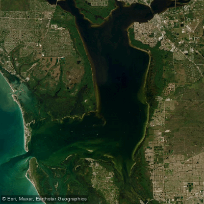
Charlotte Harbor
- Saltwater
- Harbor
- Sq. miles
- 122
- Boat Ramps
- 3
- Access Points
- 0
- Campsites
- 4
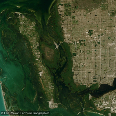
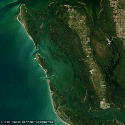
Charlotte Harbor is a large, shallow saltwater harbor on Florida's Gulf Coast, offering hundreds of miles of wild and natural coastline for paddling. The area is characterized by extensive mangrove shorelines, creating intricate mazes and tunnels, such as the Woolverton Trail accessible from Placida. The harbor is shielded from direct Gulf waves by barrier islands like Gasparilla Island, but its open waters can still be exposed to wind and fetch, making conditions best for experienced sea kayakers on calm days. Tidal influence is significant, and paddling is best planned to span high tide to navigate the shallow waters. Numerous public access points exist, including dedicated canoe/kayak launches at Placida Park, Ainger Creek Park, Lemon Bay Sunrise Rotary Park, Oyster Creek Environmental Park, and Port Charlotte Beach Park, which also features a modern boat ramp with a courtesy dock. The Charlotte County Blueways map details over 50 local kayak trails. The harbor is part of the Florida Circumnavigational Saltwater Paddling Trail, with Segment 11 (Venice/Charlotte Harbor) offering options to paddle bay-side or Gulf-side along barrier islands, though this requires careful planning for camping and weather. Hazards include potentially heavy motorboat traffic, especially on weekends, requiring vigilance, particularly when crossing marked channels. The aesthetic is one of a preserved coastal environment, rich in wildlife. Paddlers commonly see dolphins, manatees, spotted eagle rays, and a wide variety of wading birds, including roseate spoonbills and magnificent white pelicans that winter in the area. The area is served by local outfitters offering rentals and guided tours, often led by certified Florida Master Naturalists.
Water access, boat ramps & amenities
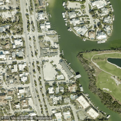
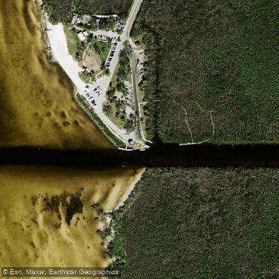
Learn how to get on Charlotte Harbor. Uncover great paddling access points, boat ramps, and all the facilities you need for an unforgettable day on the water. Some locations shown may border or include private property. Always check property boundaries and applicable regulations before visiting. PaddleWays's Public & Private Land layer can help you plan your access with confidence.
Paddle smarter with real-time insights
Whether you're en route and conditions shift or you're looking for the best spot based on current flows, we enable you to make informed decisions on the fly.








Find Places to Paddle

Over 400,000 Places to Paddle
Every user gets free access to launch points, boat ramps, and public property parcels.


Tides, wind & water conditions (10 day forecast)
On open water, wind and tide matter as much as the weather. See the best times to paddle Charlotte Harbor and check the marine forecast before you launch.
Loading tide predictions…
Paddling near Charlotte Harbor
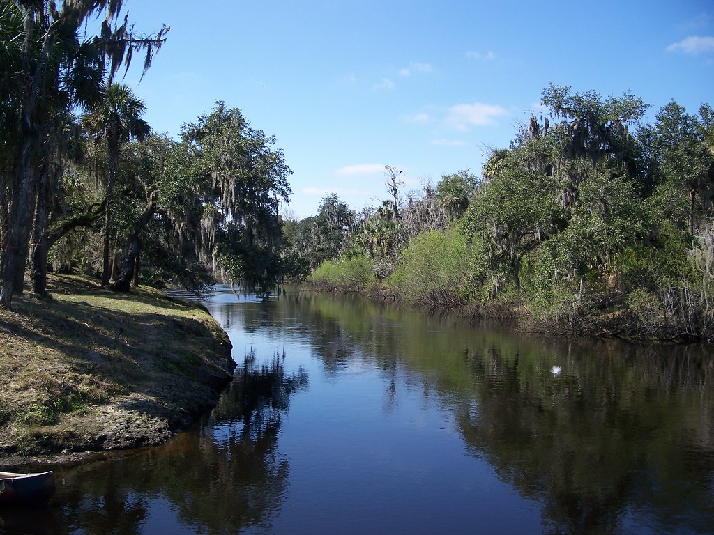
Peace River
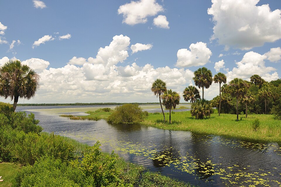
Myakka River
Caloosahatchee River
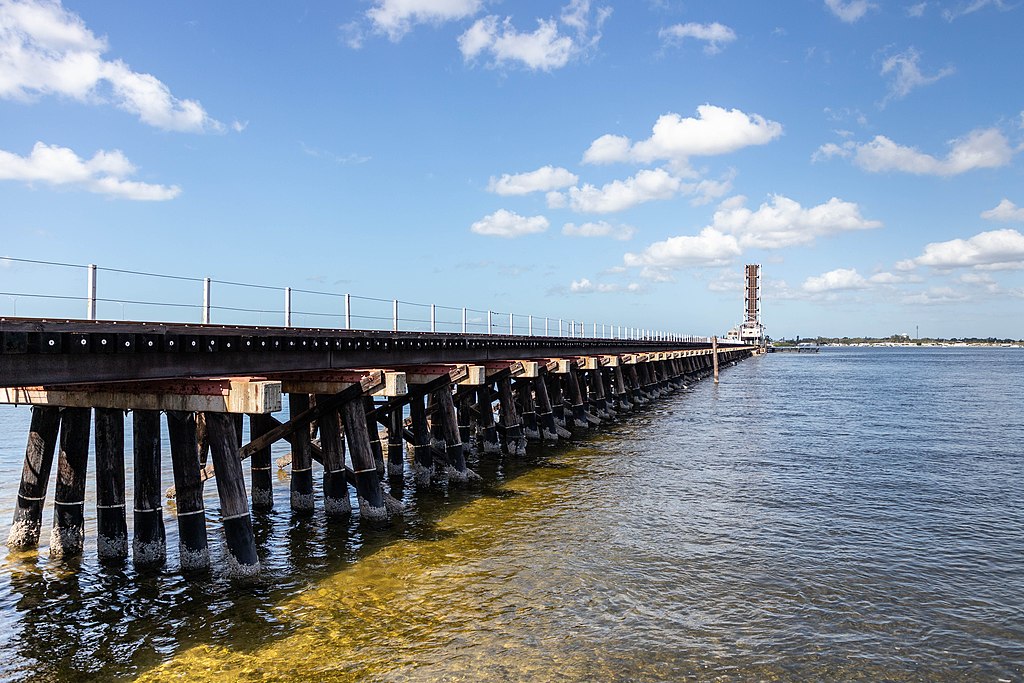
Manatee River
Matlacha Pass
Lake Myakka
Hunter Creek
Pine Island Sound
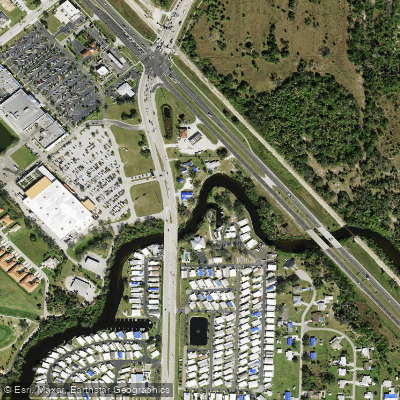
Alligator Creek
Explore Florida waters
Top paddling waters
Popular Cities
Loading popular cities...
Explore near Charlotte Harbor
Access points
- The Innlet on the Bayou Resort Boat Ramp
- Ponce De Leon Park and Public Boat Ramp (Punta Gorda)
- Ponce De Leon Park and Boat Ramp
- Christopher Creek Bridge
- N Fork Alligator Crk Bridge
- Alligator Creek Bridge
- Alligator Creek Bridge
- Myakka River Bridge
- Gator Slough Bridge
- N Fork Alligator Creek Bridge
- Gator Slough Canal Bridge
- Alligator Creek Bridge
- All 29 spots
Nearby waters
More in Florida

Smarter Paddling Starts in the App.
Paddleways gives you everything you need to plan smarter, paddle better, and own every trip from first launch to takeout.