Matlacha Pass
- Saltwater
- Pass
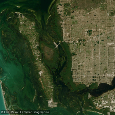
Matlacha Pass
- Saltwater
- Pass
- Sq. miles
- 31
- Boat Ramps
- 1
- Access Points
- 0
- Campsites
- 6
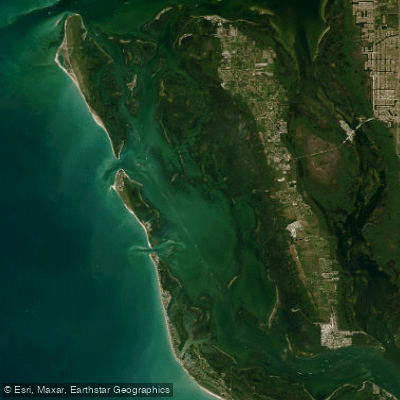
Matlacha Pass is a tidal saltwater corridor connecting Charlotte Harbor to San Carlos Bay, forming a braided, 14,000-acre aquatic preserve between the mainland and Pine Island in Southwest Florida. The paddling experience is characterized by a mix of open, shallow flats and an intricate network of protected mangrove tunnels and backwaters, offering routes that range from moderate to difficult depending on exposure to wind and open water. The area is a central segment of the nearly 200-mile Great Calusa Blueway paddling trail. Key public access points include the Matlacha Community Park and Boat Ramp, which features a dedicated kayak launch, and the launch behind Gulf Coast Kayak on Pine Island Road, accessible for a fee. Other noted launches are at Sirenia Vista Park in Cape Coral and various points on Pine Island like Pineland and Tropical Point. Tidal currents are a significant factor for trip planning, with specific creeks experiencing noticeable flow; paddlers should plan routes considering tide stages to assist or hinder progress. The pass can experience choppy conditions in open sections, but the extensive mangroves absorb wave energy, creating calm routes. Motorboat traffic is present, particularly in the main channel near the Matlacha draw bridge, and paddlers should be mindful of idle-speed, no-wake zones. Wildlife sightings commonly include dolphins, manatees, a variety of bird species such as eagles and osprey, and the submerged landscape features seagrass flats and oyster bars. The surrounding villages, particularly Matlacha, provide an Old Florida atmosphere with amenities like gear rentals and waterfront accommodations. The best paddling conditions are typically found by skirting inside islands to avoid open water chop, and trips often require three to four hours to complete a thorough exploration of the preserve's mangrove channels and hidden coves.
Water access, boat ramps & amenities
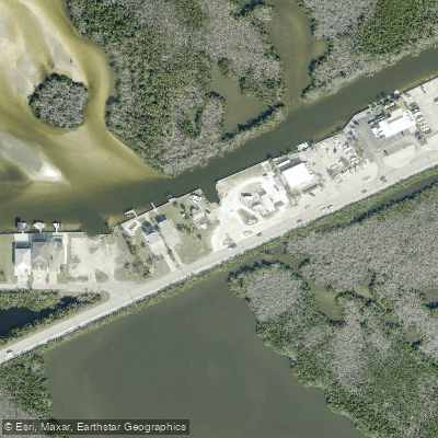
Learn how to get on Matlacha Pass. Uncover great paddling access points, boat ramps, and all the facilities you need for an unforgettable day on the water. Some locations shown may border or include private property. Always check property boundaries and applicable regulations before visiting. PaddleWays's Public & Private Land layer can help you plan your access with confidence.
Paddle smarter with real-time insights
Whether you're en route and conditions shift or you're looking for the best spot based on current flows, we enable you to make informed decisions on the fly.








Find Places to Paddle

Over 400,000 Places to Paddle
Every user gets free access to launch points, boat ramps, and public property parcels.


Tides, wind & water conditions (10 day forecast)
On open water, wind and tide matter as much as the weather. See the best times to paddle Matlacha Pass and check the marine forecast before you launch.
Loading tide predictions…
Paddling near Matlacha Pass
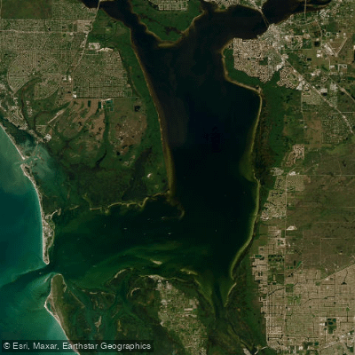
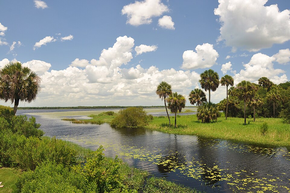
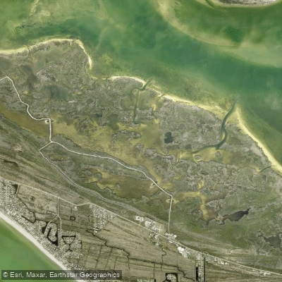
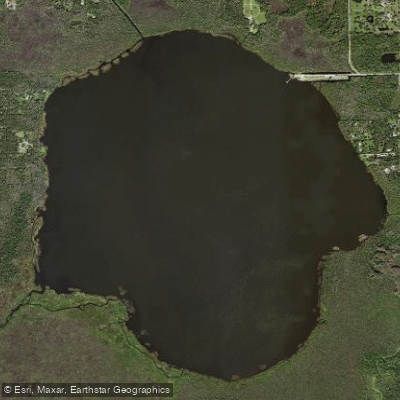
Explore Florida waters
Top paddling waters
Popular Cities
Loading popular cities...
Explore near Matlacha Pass
Access points
- Former Viking Marina Property (CLOSED)
- Monroe Canal Bridge
- Gator Slough Bridge
- Pine Island Creek Bridge
- Gator Slough Canal Bridge
- Christopher Creek Bridge
- Gator Slough Bridge
- Gator Slough Bridge
- Iona Ranch Campground
- The Groves Campground
- Pink Citrus Travel Park Campground
- Holiday Travel Park Campground Of Ft Myers Beach
- All 14 spots
Nearby waters
More in Florida

Smarter Paddling Starts in the App.
Paddleways gives you everything you need to plan smarter, paddle better, and own every trip from first launch to takeout.