Caloosahatchee River
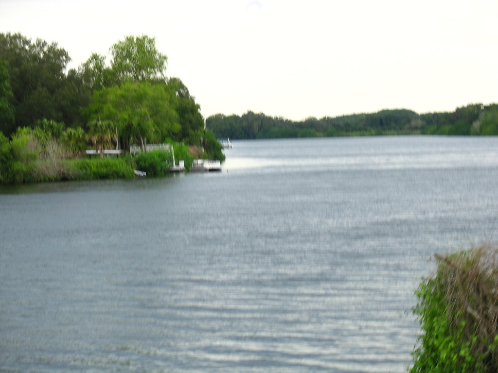
Caloosahatchee River
- Boat Ramps
- 3
- Access Points
- 3
- Campsites
- 19
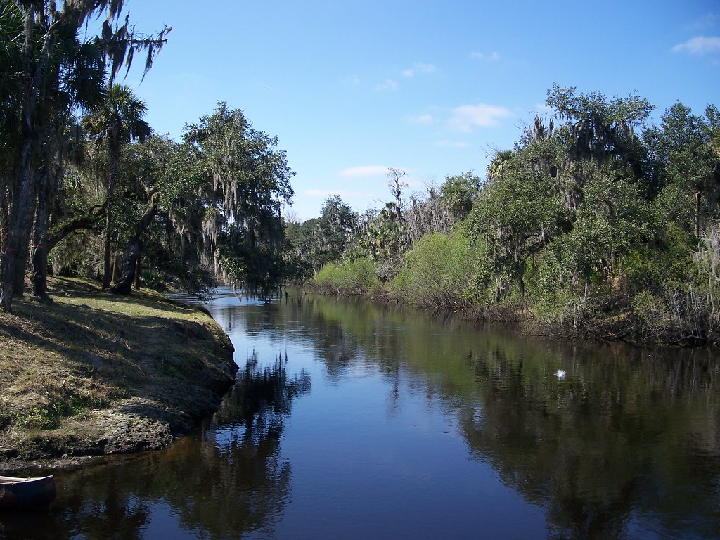
The Caloosahatchee River is a significant waterway in southwest Florida, flowing westward for approximately 67 miles from Lake Okeechobee to the Gulf of Mexico at San Carlos Bay near Fort Myers. This river serves as a crucial part of the Okeechobee Waterway, connecting Florida's east and west coasts. The river offers diverse paddling opportunities, from wide, open sections to narrow, tree-lined tributaries. Notable paddling sections include Telegraph Creek, Hickey Creek, and Bedman Creek, each providing unique experiences of Old Florida's natural beauty. The main river stretch between LaBelle and Fort Myers is popular for longer trips, offering a mix of rural and small-town scenery.
Paddling difficulty ranges from novice to intermediate, with most sections being flatwater. However, wind and boat traffic can increase challenge levels, especially on the main river. Basic paddling skills and the ability to handle occasional choppy conditions are recommended. The best paddling times are typically from late fall through early spring when temperatures are milder and rainfall is lower. Summer months can bring intense heat and afternoon thunderstorms, requiring careful planning.
The river's ecosystem is rich and diverse. Paddlers may encounter a variety of wildlife, including alligators, turtles, and numerous bird species. The area around Fort Myers features the only mangrove forest in the United States, adding to its ecological significance. Key landmarks include the W.P. Franklin Lock and Dam, Caloosahatchee Regional Park, and the historic towns of LaBelle and Fort Myers. The river played a crucial role in Florida's development, serving as a transportation route for the Calusa people and later for early settlers and traders.
Major access points include boat ramps at Alva, LaBelle, and Fort Myers. The Caloosahatchee Regional Park and W.P. Franklin Lock South Recreation Area offer excellent launching facilities. Safety considerations include being aware of boat traffic, especially near Fort Myers, and monitoring weather conditions. Paddlers should also be cautious of alligators and follow local wildlife regulations.
For those interested in multi-day trips, the 52-mile stretch from LaBelle to Fort Myers offers ample opportunities, with several campgrounds along the way, including those at Caloosahatchee Regional Park. The Caloosahatchee River is part of the Great Calusa Blueway Paddling Trail, a 190-mile marked canoe and kayak trail. This designation highlights the river's importance in the region's outdoor recreation and eco-tourism offerings.
Overall, the Caloosahatchee River provides paddlers with a quintessential Florida experience, blending natural beauty, wildlife encounters, and glimpses of the state's rich history.
Water access, boat ramps & amenities
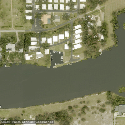
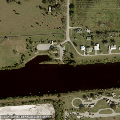
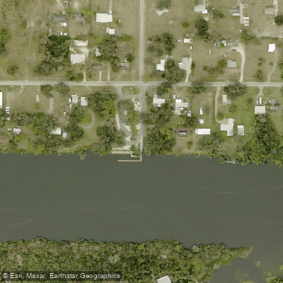
Learn how to get on Caloosahatchee River. Uncover great paddling access points, boat ramps, and all the facilities you need for an unforgettable day on the water. Some locations shown may border or include private property. Always check property boundaries and applicable regulations before visiting. PaddleWays's Public & Private Land layer can help you plan your access with confidence.
Paddle smarter with real-time insights
Whether you're en route and conditions shift or you're looking for the best spot based on current flows, we enable you to make informed decisions on the fly.








Find Places to Paddle

Over 400,000 Places to Paddle
Every user gets free access to launch points, boat ramps, and public property parcels.


Water and weather conditions (10 day forecast)
See the best times to paddle Caloosahatchee River and check the forecast before you go.
GOODNO CANAL BELOW S-78 NEAR LABELLE FL
All Flow Stations
Paddling near Caloosahatchee River
Explore Florida waters
Top paddling waters
Popular Cities
Loading popular cities...
Explore near Caloosahatchee River
Access points
- Alva Community Park Boat Ramp
- Ortona Locks North Day Use Area Public Boat Ramp
- Alva Public Boat Ramp
- Wilson Pigott Bridge
- Caloosahatchee River Bridge
- Caloosahatchee River Bridge
- Caloosahatchee River Bridge
- Caloosahatchee River Bridge
- Cypress Creek Bridge
- Pollywog Creek Bridge
- Jacks Branch Bridge
- Hickey Creek Bridge
- All 86 spots
Nearby waters
More in Florida

Smarter Paddling Starts in the App.
Paddleways gives you everything you need to plan smarter, paddle better, and own every trip from first launch to takeout.