Bear Point Cove
- Saltwater
- Cove
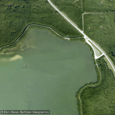
Bear Point Cove
- Saltwater
- Cove
- Sq. miles
- 0.1
- Boat Ramps
- 0
- Access Points
- 0
- Campsites
- 3
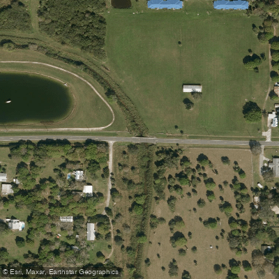
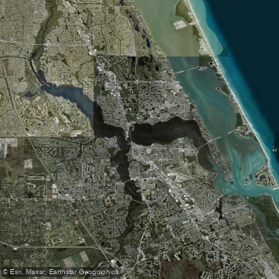
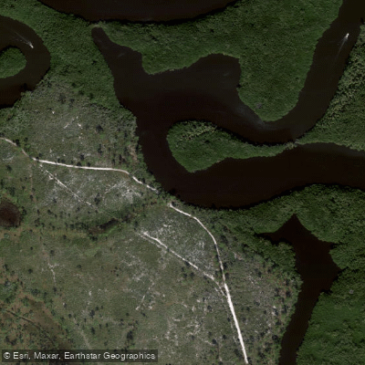
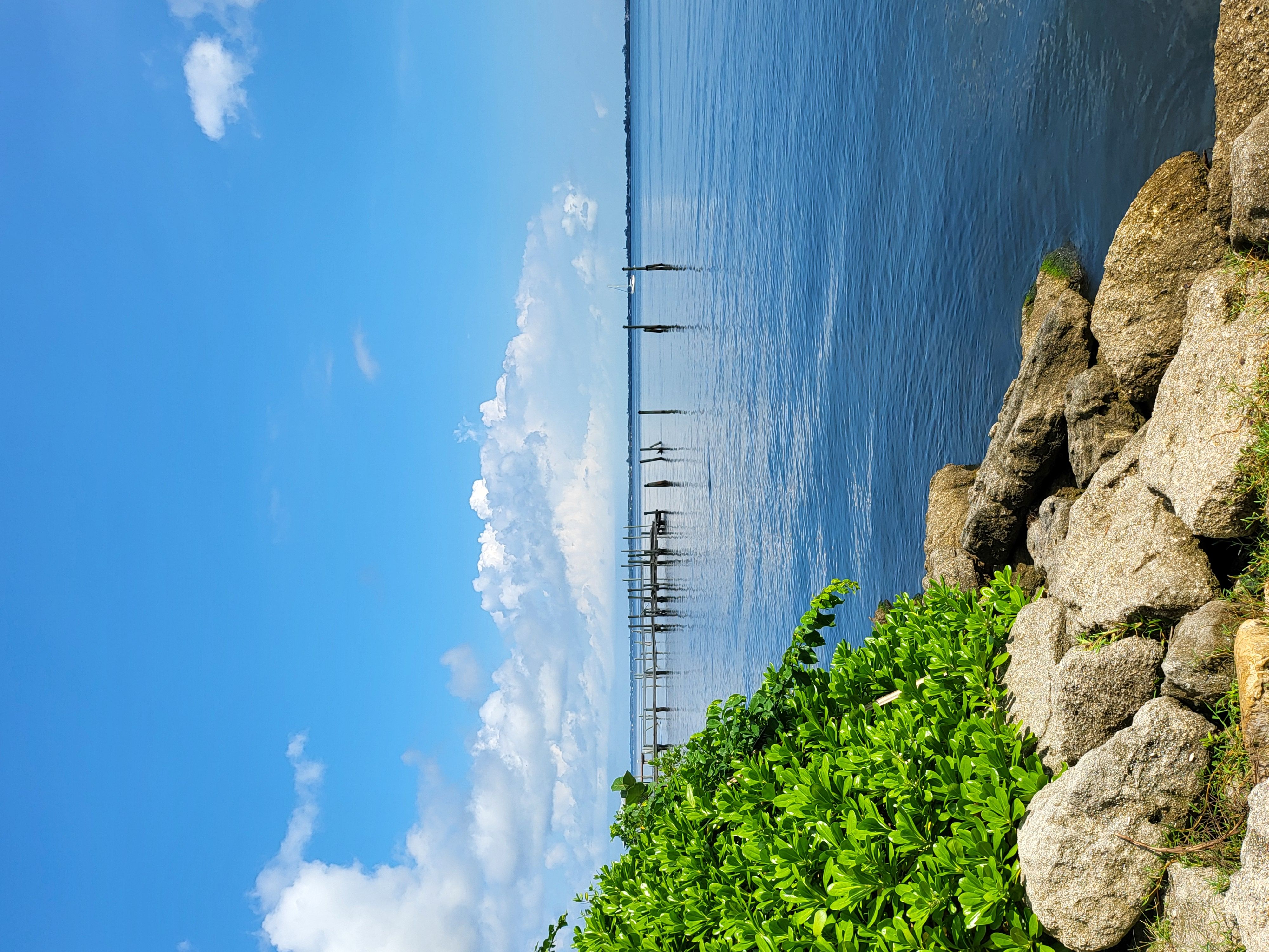
Bear Point Cove is a coastal saltwater cove on the Indian River Lagoon, part of the 352-acre Bear Point Sanctuary on South Hutchinson Island in Fort Pierce, Florida. The primary access for paddlers is a hand launch or primitive ramp located at the sanctuary's main parking area along South Ocean Drive. This launch provides direct entry into the cove, which leads out into the open waters of the Indian River Lagoon. The cove itself features a 500-foot fishing pier and an elevated viewing tower along its shores. The paddling environment is characterized by mangrove-rich shorelines and a series of adjacent mosquito control impoundments also lined with mangroves. The area is a known site on the Great Florida Birding Trail, with common wildlife sightings including wading birds such as wood storks, great egrets, and roseate spoonbills, as well as dolphins, manatees, and sea turtles in the lagoon waters.
As a part of the Indian River Lagoon, paddlers must plan for tidal currents. The cove is open to the lagoon, so wind exposure and fetch can be significant, requiring attention to weather conditions, particularly winds from the northeast. The area is managed by St. Lucie County and is free to enter, operating daily with no stated hours restrictions. Facilities are limited; there is a fair amount of parking at the launch, but no restrooms are available. The overall experience is one of a protected wetland preserve, offering a quiet, natural paddle through mangrove shorelines with opportunities for wildlife observation directly from the water. The sanctuary has historical significance as the location of the last recorded Black Bear Hunt by Native Americans on Hutchinson Island.
Water access, boat ramps & amenities
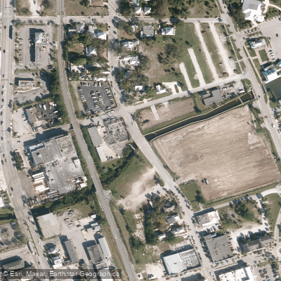
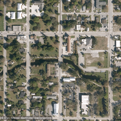
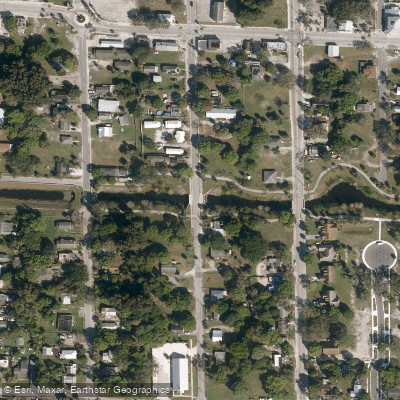
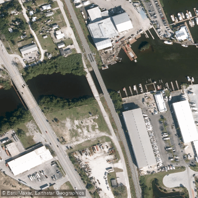
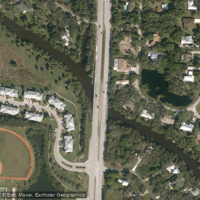
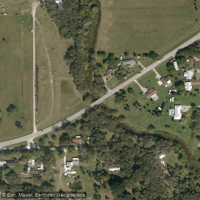
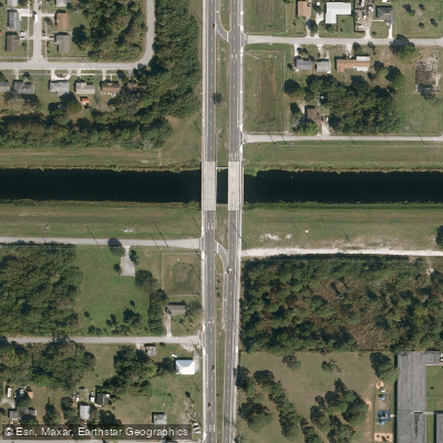
Learn how to get on Bear Point Cove. Uncover great paddling access points, boat ramps, and all the facilities you need for an unforgettable day on the water. Some locations shown may border or include private property. Always check property boundaries and applicable regulations before visiting. PaddleWays's Public & Private Land layer can help you plan your access with confidence.
Paddle smarter with real-time insights
Whether you're en route and conditions shift or you're looking for the best spot based on current flows, we enable you to make informed decisions on the fly.








Find Places to Paddle

Over 400,000 Places to Paddle
Every user gets free access to launch points, boat ramps, and public property parcels.


Tides, wind & water conditions (10 day forecast)
On open water, wind and tide matter as much as the weather. See the best times to paddle Bear Point Cove and check the marine forecast before you launch.
Loading tide predictions…

Explore Florida waters
Top paddling waters
Popular Cities
Loading popular cities...
Explore near Bear Point Cove
Access points
Nearby waters
More in Florida

Smarter Paddling Starts in the App.
Paddleways gives you everything you need to plan smarter, paddle better, and own every trip from first launch to takeout.