Saint Lucie River
- Saltwater
- Tidal river
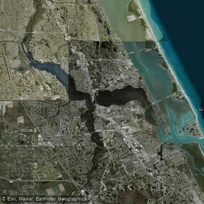
Saint Lucie River
- Saltwater
- Tidal river
- Sq. miles
- 9.9
- Boat Ramps
- 9
- Access Points
- 0
- Campsites
- 8
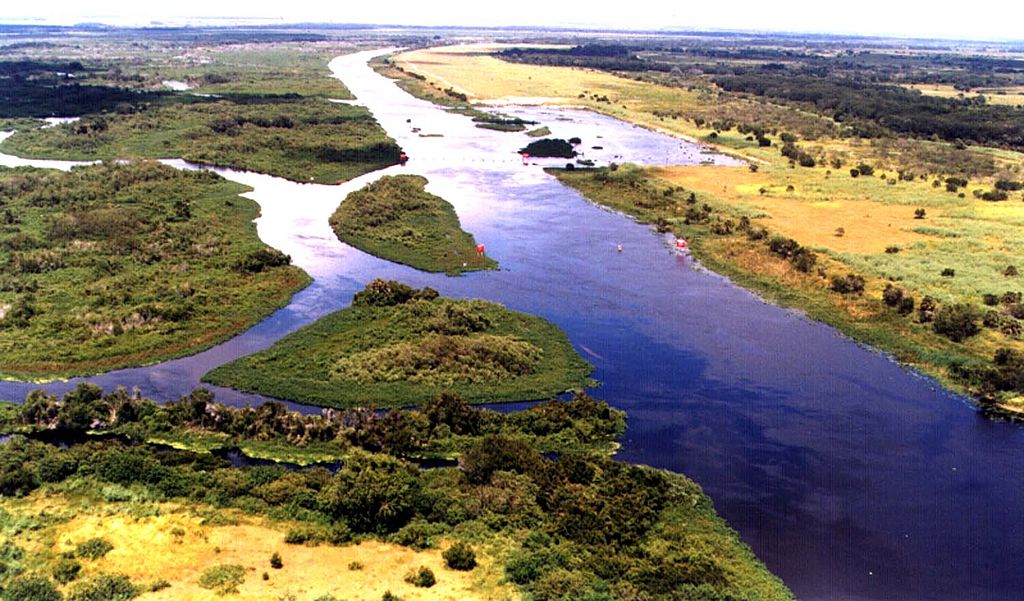
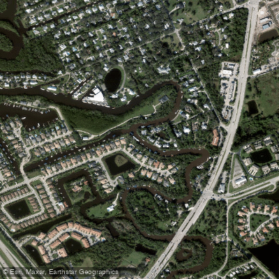
The Saint Lucie River, specifically its North Fork, is a tidal river and part of the Indian River Lagoon system on Florida's Treasure Coast. It is an estuarine environment characterized by freshwater tidal swamps, mangrove forests, and oyster reefs. The river is managed as a 16-mile aquatic preserve, offering a protected and winding waterway rich in wildlife. Paddlers can expect to see manatees, American alligators, turtles, and diverse bird species. The overall experience is tranquil and focused on nature observation, with the river providing a scenic backdrop of lush vegetation.
For trip planning, there are multiple public launch sites. Key access points include River Park Marina, which features a boat ramp and kayak rentals, and the Evans Creek Boat Ramp, which offers an accessible canoe/kayak launch on the North Fork. White City Park is another listed launch point on the North Fork. The "Indian River Lagoon and St. Lucie River Paddling Trails" document references 21 public launch or stopover sites for the broader system, indicating numerous options. A specific paddling route is documented as the North Fork of St. Lucie Paddle Route from River Park to Becker Preserve. The water is brackish, not purely saltwater. Given the tidal nature, paddlers must plan for currents. The area has minimal elevation change, with an average elevation of just 3 meters. Facilities at launch sites can vary but may include restrooms, picnic areas, and paid or free parking.
Water access, boat ramps & amenities
Learn how to get on Saint Lucie River. Uncover great paddling access points, boat ramps, and all the facilities you need for an unforgettable day on the water. Some locations shown may border or include private property. Always check property boundaries and applicable regulations before visiting. PaddleWays's Public & Private Land layer can help you plan your access with confidence.
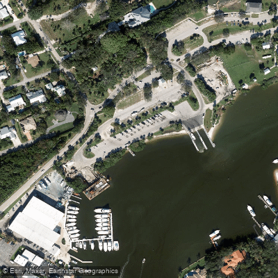
Sandsprit Park Boat Ramp
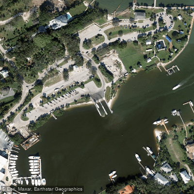
Sandsprit Park Boat Ramp
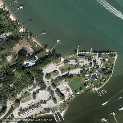
Sandsprit Park - St Lucie River Kayak Beach
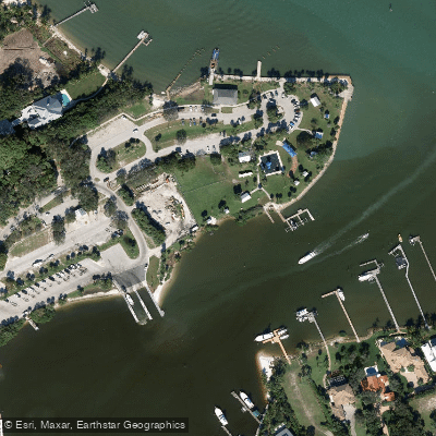
Sandsprit Park - Manatee Pocket Kayak Beach
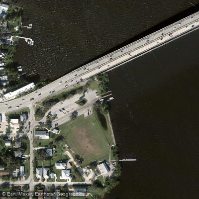
Charlie Leighton Park Boat Ramp
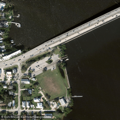
Leighton Park Boat Ramp
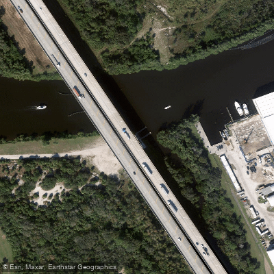
Phipps Park Boat Ramp
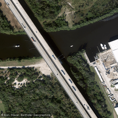
Phipps Park Boat Ramp
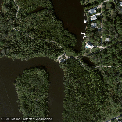
Delaplane Preserve Canoe/Kayak Launch
Paddle smarter with real-time insights
Whether you're en route and conditions shift or you're looking for the best spot based on current flows, we enable you to make informed decisions on the fly.








Find Places to Paddle

Over 400,000 Places to Paddle
Every user gets free access to launch points, boat ramps, and public property parcels.


Tides, wind & water conditions (10 day forecast)
On open water, wind and tide matter as much as the weather. See the best times to paddle Saint Lucie River and check the marine forecast before you launch.
Loading tide predictions…
Paddling near Saint Lucie River
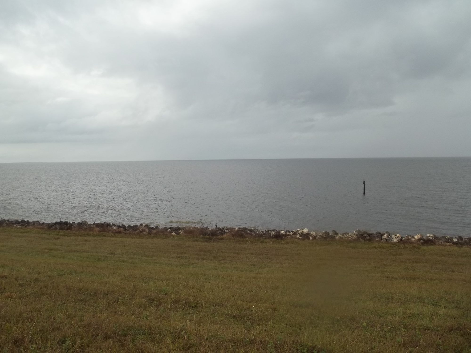
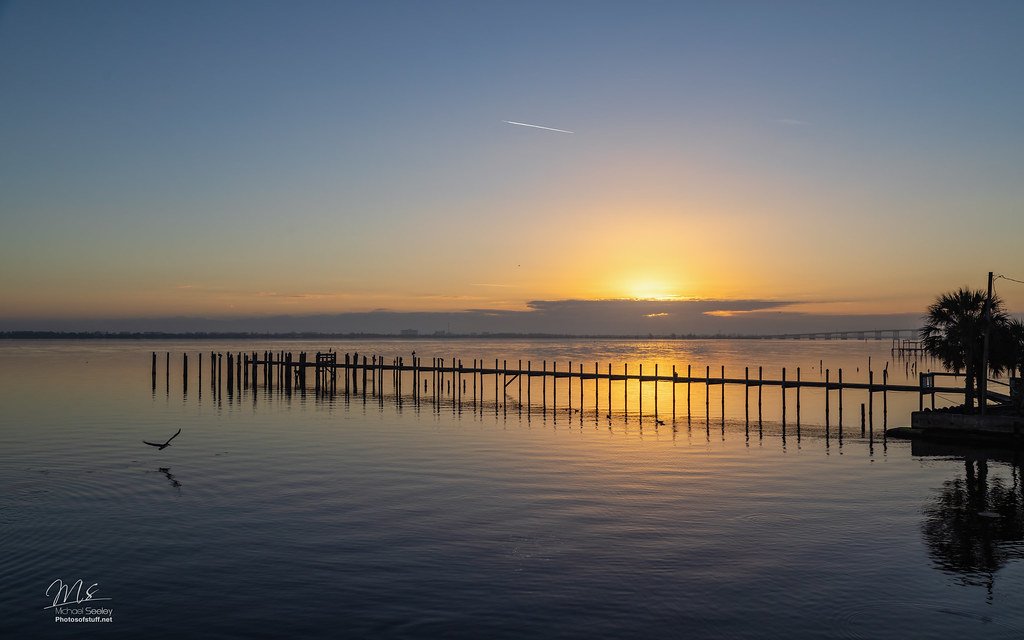
Explore Florida waters
Top paddling waters
Popular Cities
Loading popular cities...
Explore near Saint Lucie River
Access points
- Sandsprit Park Boat Ramp
- Sandsprit Park Boat Ramp
- Sandsprit Park - St Lucie River Kayak Beach
- Sandsprit Park - Manatee Pocket Kayak Beach
- Charlie Leighton Park Boat Ramp
- Leighton Park Boat Ramp
- Phipps Park Boat Ramp
- Phipps Park Boat Ramp
- Delaplane Preserve Canoe/Kayak Launch
- St. Lucie River Bridge
- St.lucie River Bridge
- St Lucie Canal Bridge
- All 58 spots
Nearby waters
More in Florida

Smarter Paddling Starts in the App.
Paddleways gives you everything you need to plan smarter, paddle better, and own every trip from first launch to takeout.