Boggy Bayou
- Saltwater
- Bayou
Boggy Bayou
- Saltwater
- Bayou
- Sq. miles
- 1.6
- Boat Ramps
- 8
- Access Points
- 0
- Campsites
- 3
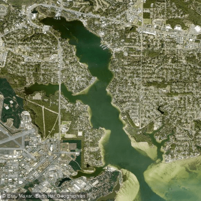
Boggy Bayou is a saltwater bayou and part of the Powderhorn Paddling Trails system on the Texas Gulf Coast near Port O'Connor. The primary access point for paddlers is Boggy Bayou Nature Park, located at the end of 3rd Street at Taylor Avenue in Port O'Connor, with GPS coordinates 28.4583, -96.4156. This launch provides direct access to a sandy bayou shoreline. Paddlers should be aware that high tides or significant rain events can make this launch site problematic to access. The bayou connects to a seagrass-filled lake and oyster beds, leading into the backwaters of a productive estuary. The Boggy Bayou Trail itself is a 5.4-mile round trip, typically taking 2 to 4 hours to paddle, and is a good beginner trail due to its protected nature. From this launch, it is approximately half a mile of paddling along the shoreline to reach Powderhorn Lake. The area is exposed to Matagorda Bay, meaning wind and wave conditions on the bay can significantly impact the paddling experience, especially for routes venturing toward the open shoreline. The trail system is known for abundant marsh bird wildlife, including spoonbills, herons, egrets, and osprey. There is an informational kiosk located at a boardwalk at the nature park. As this is a coastal tidal system, paddlers must plan trips around tidal stages, as water levels directly affect launch accessibility and navigation over shallow oyster beds. The site is remote, so paddlers should come prepared for self-sufficiency and potential emergencies.
Water access, boat ramps & amenities
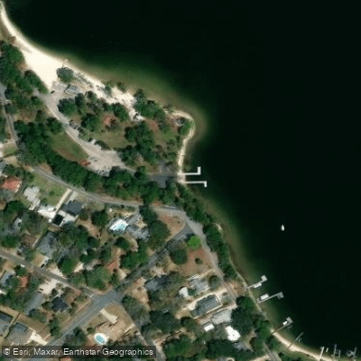
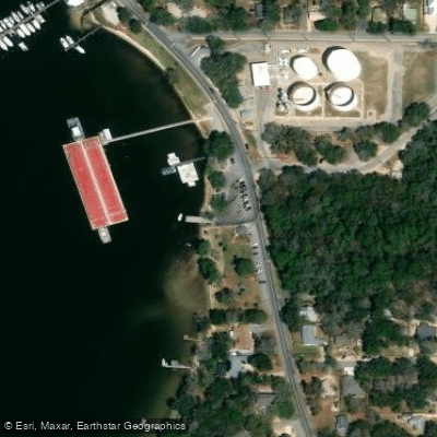
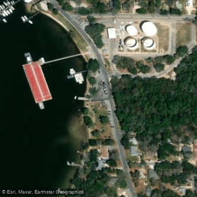
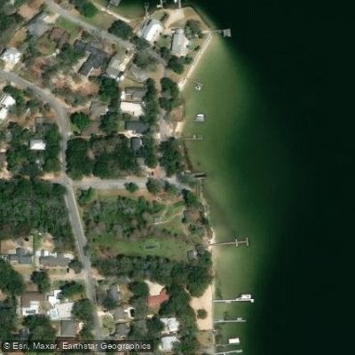
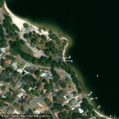
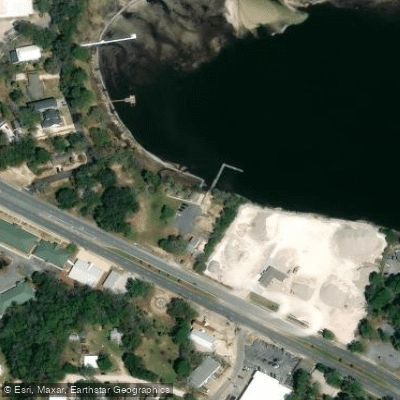
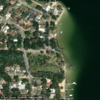
Learn how to get on Boggy Bayou. Uncover great paddling access points, boat ramps, and all the facilities you need for an unforgettable day on the water. Some locations shown may border or include private property. Always check property boundaries and applicable regulations before visiting. PaddleWays's Public & Private Land layer can help you plan your access with confidence.
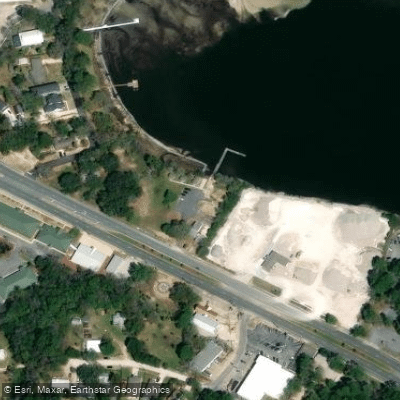
Paddle smarter with real-time insights
Whether you're en route and conditions shift or you're looking for the best spot based on current flows, we enable you to make informed decisions on the fly.








Find Places to Paddle

Over 400,000 Places to Paddle
Every user gets free access to launch points, boat ramps, and public property parcels.


Tides, wind & water conditions (10 day forecast)
On open water, wind and tide matter as much as the weather. See the best times to paddle Boggy Bayou and check the marine forecast before you launch.
Loading tide predictions…
Paddling near Boggy Bayou
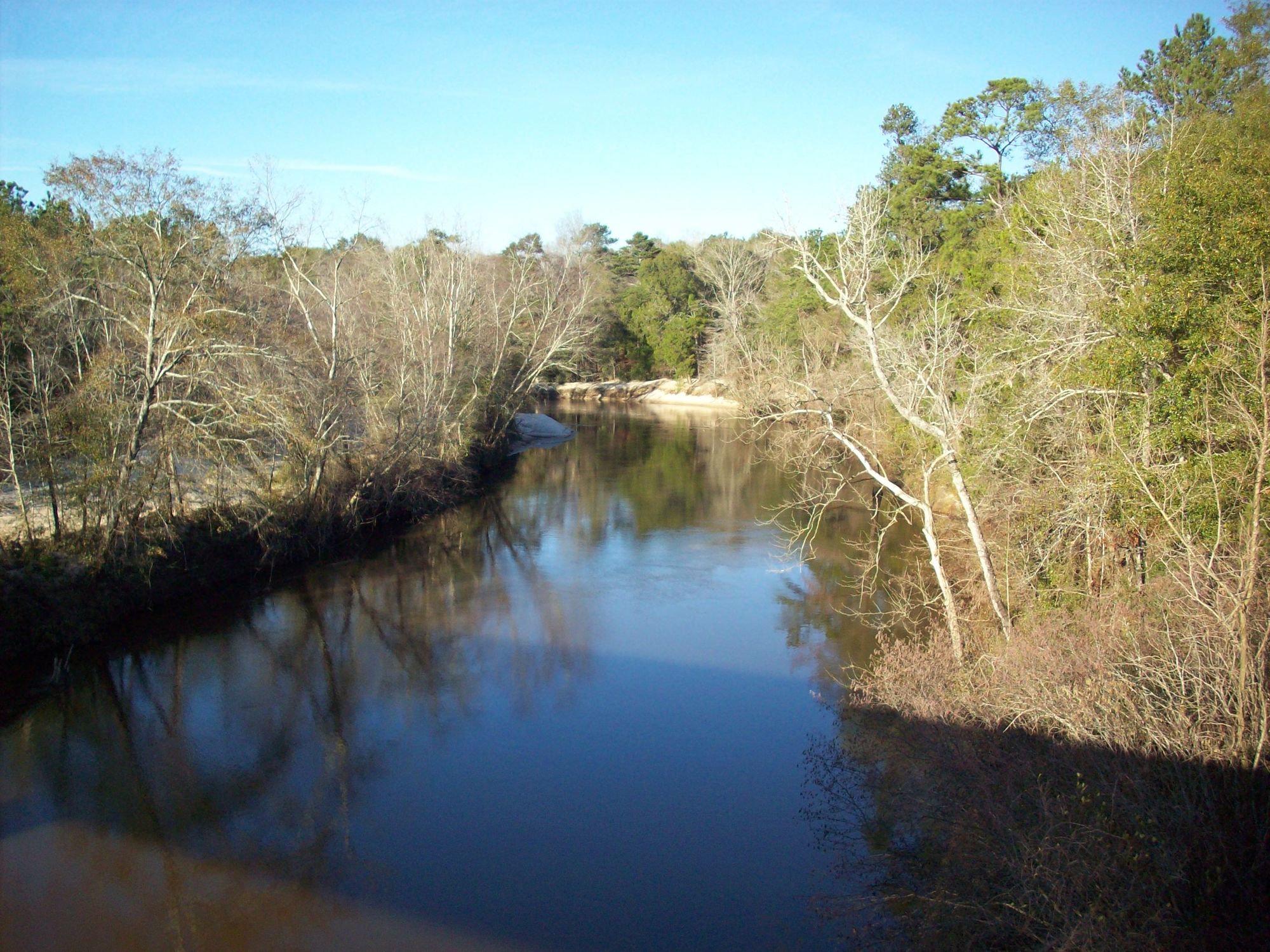
Choctawhatchee River
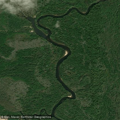
Escambia River
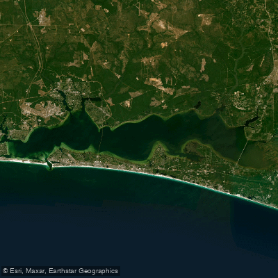
Choctawhatchee Bay
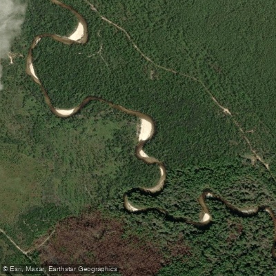
Perdido River
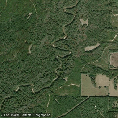
Yellow River
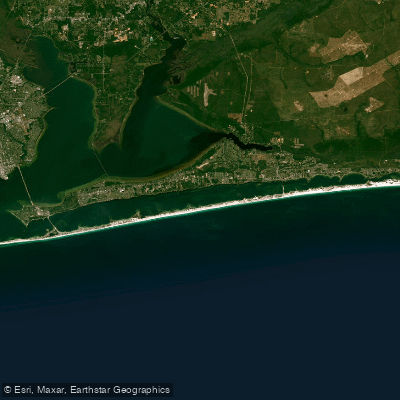
Santa Rosa Sound
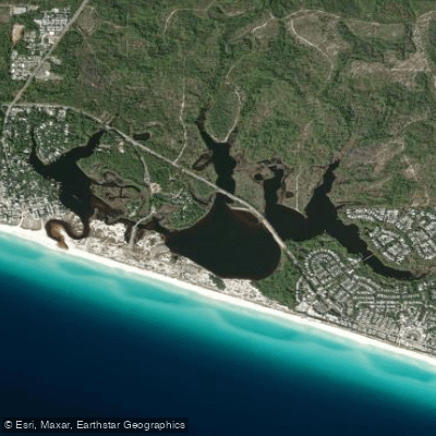
Western Lake
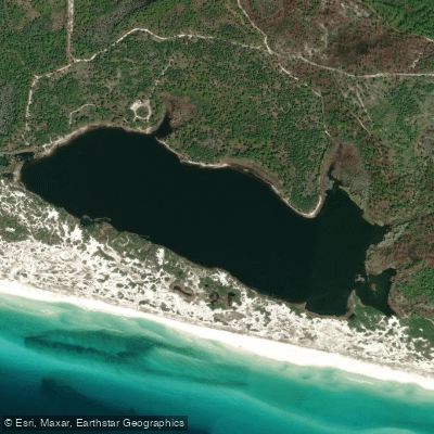
Campbell Lake
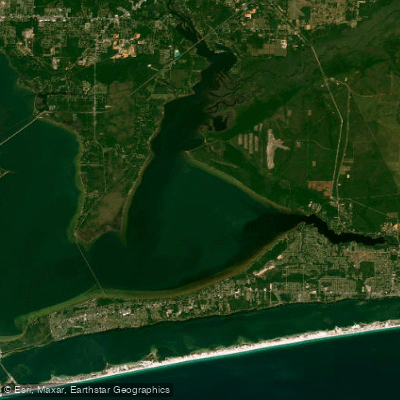
East Bay
Explore Florida waters
Top paddling waters
Popular Cities
Loading popular cities...
Explore near Boggy Bayou
Access points
Nearby waters
More in Florida

Smarter Paddling Starts in the App.
Paddleways gives you everything you need to plan smarter, paddle better, and own every trip from first launch to takeout.