Curated by PaddleWays
RouteFlatwater
- Distance
- 2.5 mi
- Paddle time
- ~1 hr
- Put-in → take-out
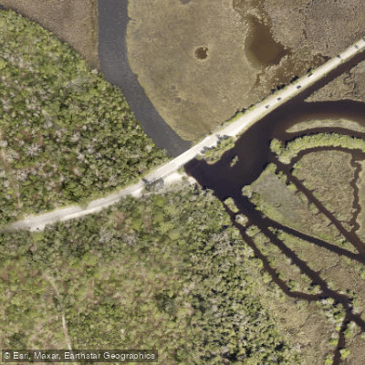
- Bulow Creek State Park - Walter Boardman Lane Kayak Landing → Highbridge Park Boat Ramp
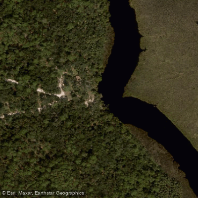
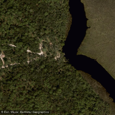
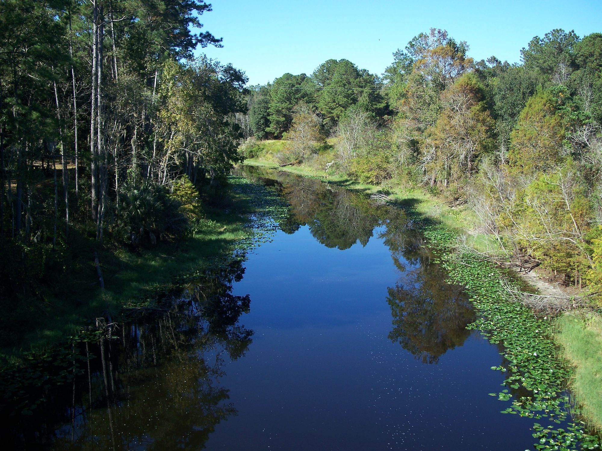
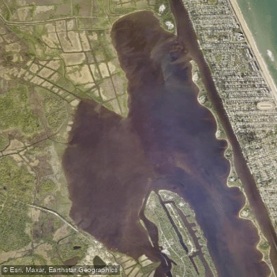
Bulow Creek flows approximately 11 miles through Flagler and Volusia Counties in northeastern Florida, originating in the wetlands of Graham Swamp west of the Intracoastal Waterway and meandering southward before turning eastward to empty into the Halifax River. This shallow, tidal waterway represents one of Florida's premier coastal paddling destinations, officially designated as part of the state's canoe trail system and recognized for its pristine salt marsh ecosystems.
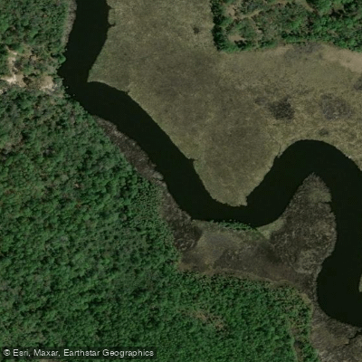
The creek offers paddlers a unique dual-character experience. From Bulow Plantation Ruins Historic State Park, adventurous paddlers can explore upstream for approximately 3 miles through salt marshes that gradually transition into narrow, wooded sections rich with wildlife. Here the creek transforms from 150 feet wide at the launch to just 20 feet at its navigable terminus, where fallen palm trees create a natural barrier. The downstream section follows the official 6.5-mile designated paddling trail through expansive grassy marshlands to Smith Creek Landing at the Intracoastal Waterway.
Paddling difficulty ranges from easy to moderate, with flatwater conditions throughout but requiring awareness of tidal influences that significantly affect water levels and navigation. The creek varies in depth from 8 feet near the historic park to 1-4 feet in upstream sections depending on tide.
Spring and fall migrations provide optimal wildlife viewing, though the waterway remains accessible year-round. The marshlands support diverse coastal fauna including bald eagles, swallow-tailed kites, and occasionally Florida manatees. Redfish and snook attract recreational anglers throughout the system. The creek flows through cabbage palm-lined salt marshes typical of Florida's Atlantic coast, with minimal shade requiring sun protection during paddling.
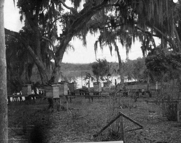
Three primary access points serve different paddling objectives: Bulow Plantation Ruins Historic State Park near Flagler Beach provides the main launch for both upstream exploration and the designated trail; Walter Boardman Lane Bridge offers mid-trail access; and Smith Creek Landing at North Peninsula State Park serves as the downstream terminus. The historic plantation ruins add significant cultural value, representing Florida's antebellum sugar plantation era before the Second Seminole War.
Safety considerations include tidal awareness, potential for shallow sandbars requiring portaging, and the need for GPS navigation in the complex salt marsh channels below Walter Boardman Bridge. The area passes through remnants of old Florida communities like Mound Grove, where historical structures remain visible from the water.
Park fees apply at state facilities, with kayak rentals available at the plantation ruins site. This creek system accommodates day trips exclusively, with the 13-mile round-trip trail offering the most comprehensive exploration of Florida's coastal marsh environments.
Curated routes
Hand-picked by the PaddleWays team, with put-ins, take-outs, paddle times and the hazards along the way.
RouteFlatwater
RouteFlatwater
RouteFlatwater
Hazards
No hazards are marked on Bulow Creek yet. That is not the same as none being there: if you find one, report it for the next paddler.
From the community
Nobody has shared a trip on Bulow Creek yet. Paddle it, then tell the next paddler how it went.
See exactly where the public can get on and off the river. Launch points and boat ramps are paired with PaddleWays' public land data so you know where you can legally land.
Public shoreline
29%of the river's shoreline is public
Most of the riverbank is private. Launch, land and camp only at public access points.
Flows, weather and a route-by-route verdict, so you know which stretch of the Bulow Creek is worth paddling today.
No forecast data available.
Live flows, marked hazards and fresh trip reports from paddlers who were just on the water, all in one place.





Every user gets free access to launch points, boat ramps, and public property parcels.
Loading popular cities...
PaddleWays gives you everything you need to plan smarter, paddle better, and own every trip from first launch to takeout.