Curated by PaddleWays
RouteFlatwater
- Distance
- 6.2 mi
- Paddle time
- ~2 hrs
- Put-in → take-out
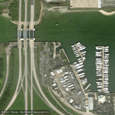
- Port Canaveral Recreational Boat Launching Facility → Port Canaveral Lock
The Canaveral Barge Canal is a man-made waterway cutting east-west across northern Merritt Island in Brevard County, Florida. Constructed by the U.S. Army Corps of Engineers in 1965, this 12-foot deep canal connects the Atlantic Ocean to the Indian River, allowing vessels to traverse from Port Canaveral into the Intracoastal Waterway. The canal consists of two main segments separated by the Banana River. The eastern segment runs from Port Canaveral Lock to the Banana River, while the western segment continues from the Banana River to the Indian River. The total length is approximately 10 miles.
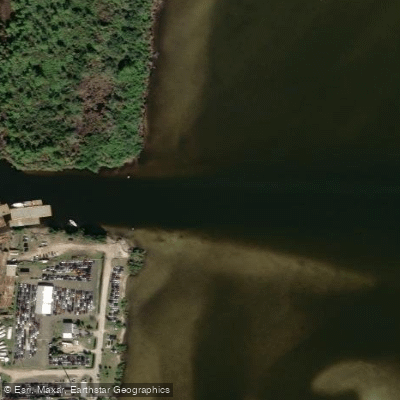
For paddlers, the Canaveral Barge Canal offers a unique experience combining man-made waterways with natural beauty. The flatwater route from the Indian River to Port Canaveral Lock passes under bridges and through diverse ecosystems. Near the Route 528 bridge, paddlers can access Sykes Creek, a natural waterway bordering the Ulumay Wildlife Sanctuary.
The canal is suitable for beginner to intermediate paddlers, with calm waters and minimal current. However, paddlers should be aware of boat traffic, especially near Port Canaveral. The best times for paddling are typically spring and fall when temperatures are mild.
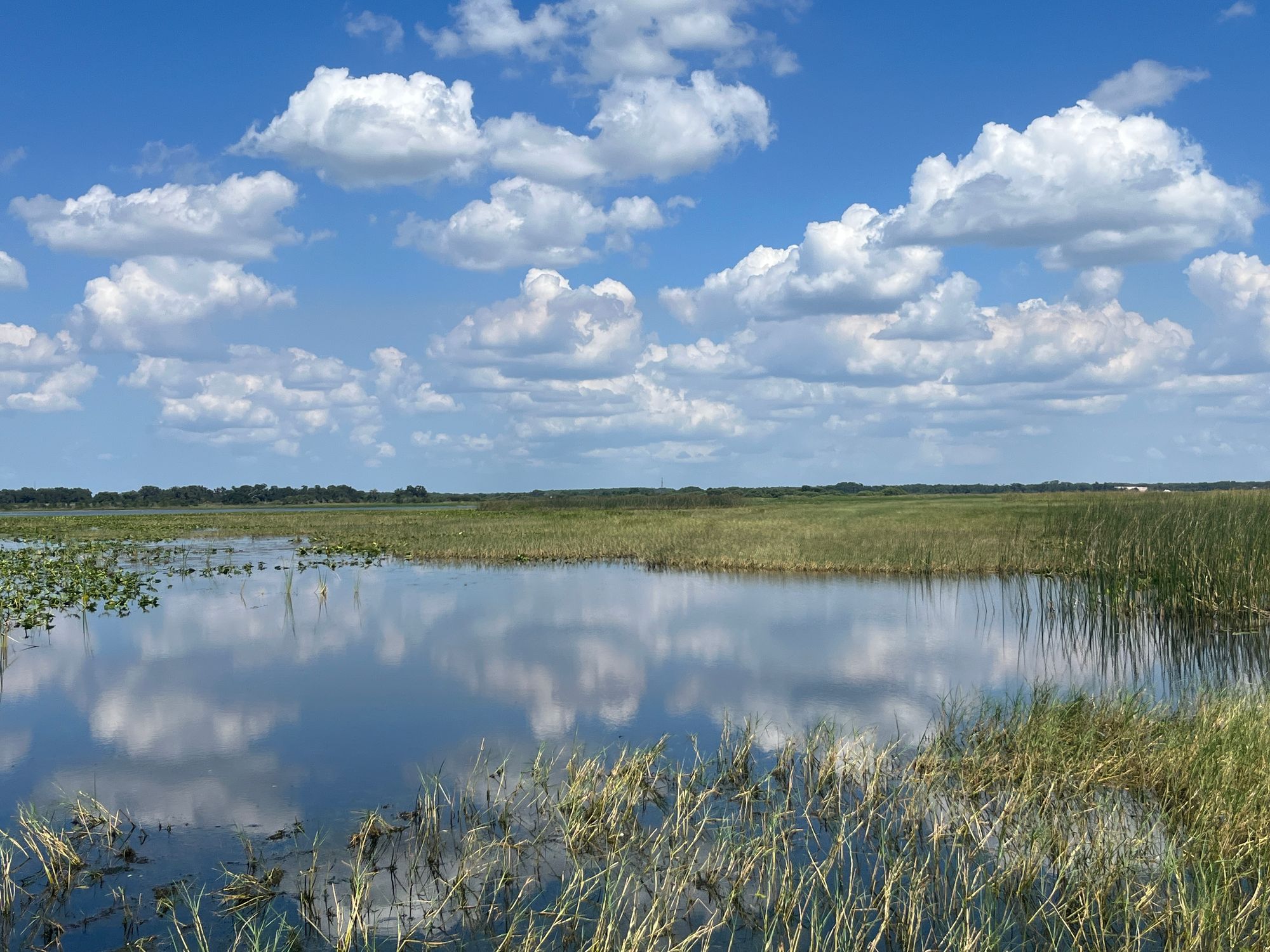
Wildlife viewing opportunities abound along the canal's shores, which are lined with natural growth in many areas. Paddlers may spot various bird species, fish, and occasionally manatees.
Key landmarks include the Port Canaveral Lock, the largest navigation lock in Florida, and the various bridges spanning the canal. The surrounding area offers views of Kennedy Space Center facilities, connecting paddlers to the region's space history.
Primary access points include launches near the Indian River, Kiwanis Island Park, and locations along Sykes Creek. The nearby cities of Cape Canaveral, Cocoa, and Merritt Island provide amenities for paddlers.
Safety considerations include being aware of larger vessels, particularly in the eastern segment near Port Canaveral, and checking weather conditions before embarking. Paddlers should also be mindful of the canal's role in local ecosystems and follow Leave No Trace principles.
While primarily used for day trips, ambitious paddlers could potentially plan multi-day excursions by combining the canal with explorations of the adjacent Indian River Lagoon system.
Curated routes
Hand-picked by the PaddleWays team, with put-ins, take-outs, paddle times and the hazards along the way.
RouteFlatwater
Hazards
No hazards are marked on Canaveral Barge Canal yet. That is not the same as none being there: if you find one, report it for the next paddler.
From the community
Nobody has shared a trip on Canaveral Barge Canal yet. Paddle it, then tell the next paddler how it went.
See exactly where the public can get on and off the river. Launch points and boat ramps are paired with PaddleWays' public land data so you know where you can legally land.
Public shoreline
3%of the river's shoreline is public
Most of the riverbank is private. Launch, land and camp only at public access points.
Flows, weather and a route-by-route verdict, so you know which stretch of the Canaveral Barge Canal is worth paddling today.
No forecast data available.
Live flows, marked hazards and fresh trip reports from paddlers who were just on the water, all in one place.





Every user gets free access to launch points, boat ramps, and public property parcels.
Loading popular cities...
PaddleWays gives you everything you need to plan smarter, paddle better, and own every trip from first launch to takeout.