Curated by PaddleWays
RouteFlatwater
- Distance
- 6.5 mi
- Paddle time
- ~2 hrs
- Best for
- Kayak
- Put-in → take-out
- Race Track Road → Clark's Fish Camp
Heavier powerboat traffic near Julington Creek
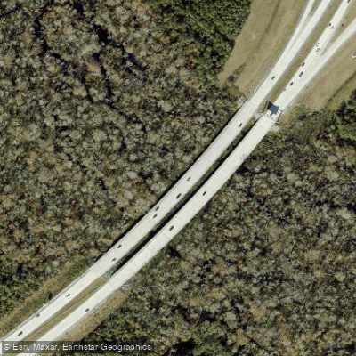
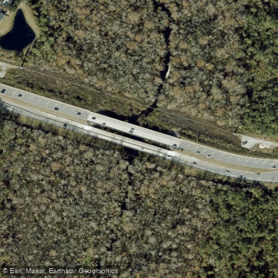
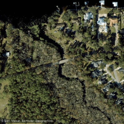
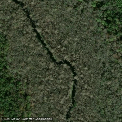
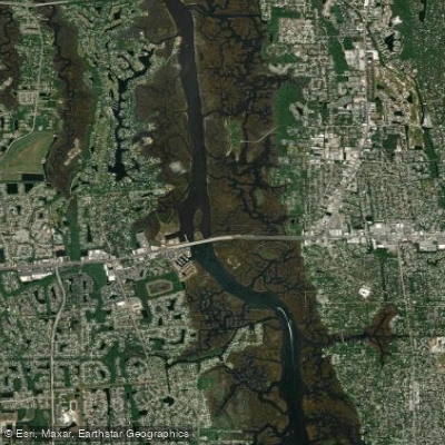
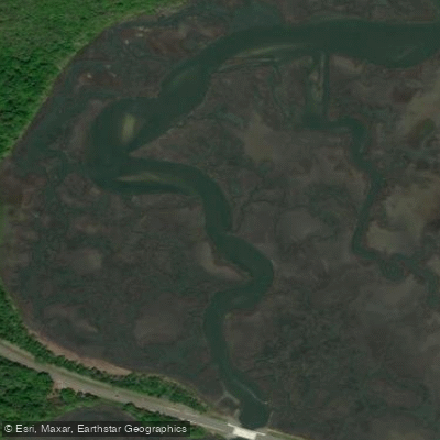
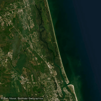
Durbin Creek is a ten-mile waterway that forms in the wetlands of northern St. Johns County, Florida, winding westward through pristine floodplain forests before joining Julington Creek and ultimately flowing into the St. Johns River. This blackwater creek carves through the heart of the Julington-Durbin Creek Preserve, creating approximately nine miles of protected shoreline and serving as a critical ecological corridor amid the rapid development of the Jacksonville metropolitan area.
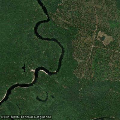
The creek flows through a landscape dominated by thickly forested wetlands featuring impressive specimen bald cypress trees that tower over the dark, tannin-stained waters. The peninsula formed at the confluence of Durbin and Julington creeks showcases seven distinct natural communities, ranging from sandhill ridges along higher elevations to flatwoods and extensive floodplain swamps and marshes along the creek shores. This diversity of habitats provides essential water quality protection and flood control for the St. Johns River watershed.
Paddlers can access approximately six to eight miles of navigable waterway, with the primary paddling corridor running from the Bartram Canoe Trail Launch at Race Track Road downstream to the confluence with Julington Creek. The upper reaches near Palmetto Leaves Regional Park offer access to the headwaters, where the creek flows through particularly wild and non-residential areas. Intermediate skill levels are recommended for most sections due to tidal influences and mild currents that increase as the creek widens. The waterway remains largely flatwater, though paddlers should be prepared for stronger currents near the confluence and heavier powerboat traffic approaching the St. Johns River.
Wildlife encounters are frequent and varied. Bald eagles and osprey patrol the canopy, while manatees seasonally navigate the creek's deeper channels. Paddlers regularly observe otters, bobcats, white-tailed deer, wild turkey, gopher tortoises, and numerous wading birds including herons and egrets. Red-tailed hawks and various songbird species inhabit the surrounding forests, while massive fish populations thrive in the creek's protected waters.
Historical significance threads through the preserve, with the old Russell Sampson Road crossing visible at the 2.4-mile mark. This route dates to British territorial occupation around 1783, connecting the communities of Sampson and the Russell family homesteads. The nearby Sampson Cemetery, established in 1875, preserves the legacy of Florida's earliest settlers.
Primary access points include the Bartram Canoe Trail Launch at 4936 Race Track Road in Jacksonville, Palmetto Leaves Regional Park off Old St. Augustine Road, and Hood Landing Boat Ramp near Clark's Fish Camp. Mandarin Park at 14780 Mandarin Road serves as a popular take-out point. All facilities operate dawn to dusk with no access fees, though paddlers should verify current conditions and plan for shuttle logistics on one-way trips.
Curated routes
Hand-picked by the PaddleWays team, with put-ins, take-outs, paddle times and the hazards along the way.
RouteFlatwater
RouteFlatwater
Hazards
No hazards are marked on Durbin Creek yet. That is not the same as none being there: if you find one, report it for the next paddler.
From the community
Nobody has shared a trip on Durbin Creek yet. Paddle it, then tell the next paddler how it went.
See exactly where the public can get on and off the river. Launch points and boat ramps are paired with PaddleWays' public land data so you know where you can legally land.
Public shoreline
0%of the river's shoreline is public
Most of the riverbank is private. Launch, land and camp only at public access points.
Flows, weather and a route-by-route verdict, so you know which stretch of the Durbin Creek is worth paddling today.
Live flows, marked hazards and fresh trip reports from paddlers who were just on the water, all in one place.





Every user gets free access to launch points, boat ramps, and public property parcels.
Loading popular cities...
PaddleWays gives you everything you need to plan smarter, paddle better, and own every trip from first launch to takeout.