East Bay River
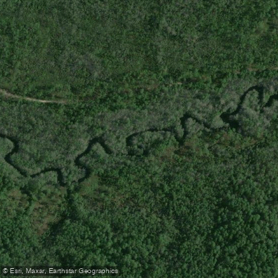
East Bay River
- Boat Ramps
- 3
- Access Points
- 3
- Campsites
- 5
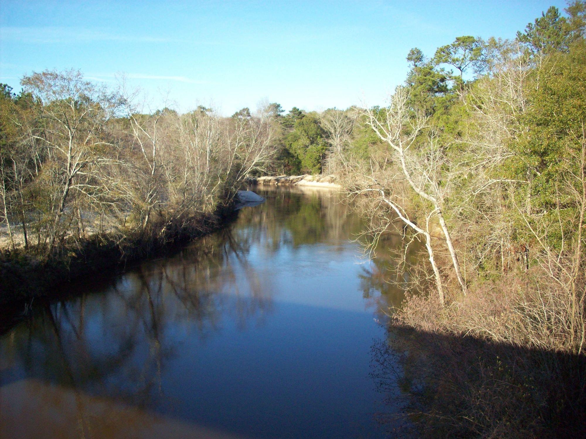
The East Bay River is a serene waterway nestled in Northwest Florida, offering paddlers a tranquil journey through the state's natural beauty. Originating near Eglin Air Force Base, the river flows southward, winding its way through Santa Rosa County before emptying into East Bay, a northern arm of Pensacola Bay. The East Bay River Canoe Trail provides an excellent opportunity for flatwater paddling, stretching approximately 7 miles from the put-in at Site A-21 Bridge. This trail is characterized by its meandering course, featuring big bends that create a constantly changing landscape for paddlers to explore.
While the river may not boast the abundant wildlife of some other Florida waterways, it compensates with its eye-catching wildflowers and lush vegetation along the banks. Paddlers of all skill levels can enjoy the East Bay River, as it presents no significant rapids or technical challenges. However, the presence of numerous low-hanging branches adds an element of adventure, requiring some maneuvering skills. The river's width varies but generally remains navigable for canoes and kayaks throughout its course.
Spring and fall are ideal seasons for paddling the East Bay River, offering comfortable temperatures and potentially fewer insects. Summer trips are possible but require preparation for heat and increased bug activity. Water levels remain relatively consistent year-round, making the river accessible in all seasons.
The river corridor is home to a variety of native Florida plant species, with wildflowers providing splashes of color along the banks. While wildlife sightings may be less frequent than on other Florida rivers, paddlers should keep an eye out for wading birds, turtles, and the occasional alligator.
Key landmarks include the Site A-21 Bridge, which serves as the primary put-in point for the canoe trail. The journey downstream reveals a series of scenic bends and quiet stretches that showcase the natural beauty of Northwest Florida's landscape.
Access to the East Bay River is primarily through the put-in at Site A-21 Bridge, located approximately 4.3 miles west of the Hurlburt Gate. The nearby town of Navarre serves as a convenient base for paddlers planning their trip.
While not as historically significant as some of Florida's more renowned rivers, the East Bay River plays an important role in the local ecosystem and offers a glimpse into the region's natural heritage.
Safety considerations include being prepared for extended sun exposure, bringing adequate water, and watching for overhanging vegetation. Paddlers should also be aware of local regulations, particularly given the river's proximity to Eglin Air Force Base property.
For those seeking a leisurely day trip, the East Bay River Canoe Trail provides a perfect escape into Florida's peaceful backcountry, offering a unique perspective on the state's diverse waterways.
Water access, boat ramps & amenities
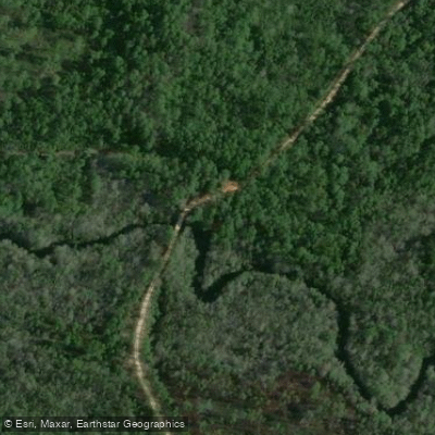
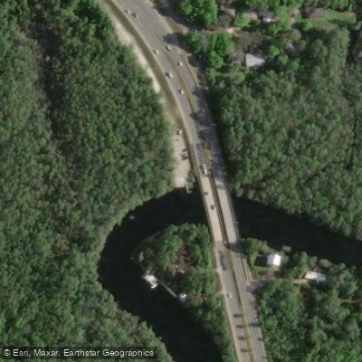
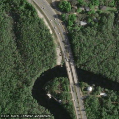
Learn how to get on East Bay River. Uncover great paddling access points, boat ramps, and all the facilities you need for an unforgettable day on the water. Some locations shown may border or include private property. Always check property boundaries and applicable regulations before visiting. PaddleWays's Public & Private Land layer can help you plan your access with confidence.
Paddle smarter with real-time insights
Whether you're en route and conditions shift or you're looking for the best spot based on current flows, we enable you to make informed decisions on the fly.








Find Places to Paddle

Over 400,000 Places to Paddle
Every user gets free access to launch points, boat ramps, and public property parcels.


Water and weather conditions (10 day forecast)
See the best times to paddle East Bay River and check the forecast before you go.
No forecast data available.
Paddling near East Bay River
Choctawhatchee River
Escambia River
Choctawhatchee Bay
Perdido River
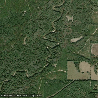
Yellow River
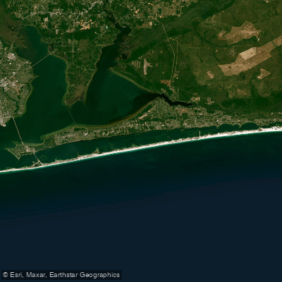
Santa Rosa Sound
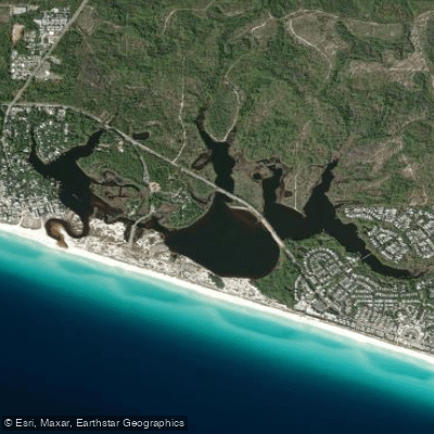
Western Lake
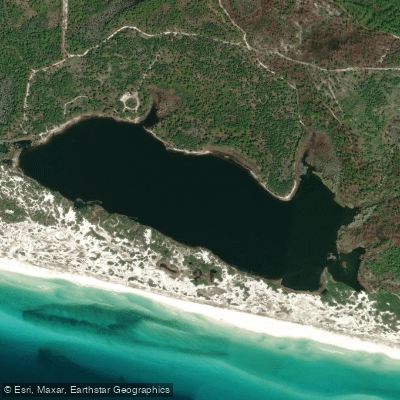
Campbell Lake
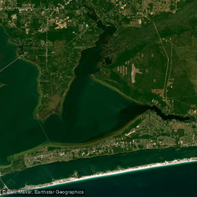
East Bay
Explore Florida waters
Top paddling waters
Popular Cities
Loading popular cities...
Explore near East Bay River
Access points
- Eglin AFB - East Bay River Put-In (RESTRICTED ACCESS - PERMIT REQUIRED)
- East River Boat Ramp
- East Bay River Public Boat Ramp
- East Bay River Bridge
- East Bay River Bridge
- East Bay River Bridge
- Live Oak Creek Bridge
- Dean Creek Bridge
- Kohler Bayou Bridge
- Williams Creek Bridge
- Live Oak Creek Bridge
- Tom King Bayou Bridge
- All 17 spots
Nearby waters
More in Florida

Smarter Paddling Starts in the App.
Paddleways gives you everything you need to plan smarter, paddle better, and own every trip from first launch to takeout.