Indian River
- Saltwater
- Tidal river
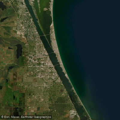
Indian River
- Saltwater
- Tidal river
- Sq. miles
- 217
- Boat Ramps
- 76
- Access Points
- 0
- Campsites
- 27
The Indian River in Clinton, Connecticut, is a scenic tidal river that provides a protected and beginner-friendly paddling environment. The primary access point is at the Clinton Landing & Gazebo, located behind the Town Hall, which serves as a launch and take-out. From this point, the river's serpentine channel leads south for approximately half a mile through verdant marshland before emptying into Clinton Harbor. For equipment and services, Indian River Kayak & Marina, located at 58 Commerce Street, offers a full-service operation with kayak and stand-up paddleboard rentals, sales, guided trips, and lessons. Their facility provides clean restrooms, a changing room, an outdoor shower, and high-quality, well-maintained rental equipment that includes paddles, personal flotation devices, and a laminated map.
The paddling route is an easy, half-mile journey ideal for beginners, with the option to extend the trip into the larger Clinton Harbor. From the harbor, paddlers can cross to Cedar Island, which features a beach for swimming, or continue west into the Hammonasset River. The area is known for its variety of scenery, ranging from marshlands frequented by ospreys to views of boats in the harbor. A notable sandbar emerges in the harbor at low tide. The tidal nature of the river means water levels and current direction will vary; paddlers should plan their timing with the tide cycle in mind, especially when crossing the more exposed harbor to reach Cedar Island. The harbor can also experience boat traffic. For amenities, Lobster Landing and Rocky’s Aqua restaurant are nearby destinations for food. The overall experience is characterized by calm, scenic paddling with convenient services and multiple options for short trips or longer explorations into adjacent waters.
Water access, boat ramps & amenities
Learn how to get on Indian River. Uncover great paddling access points, boat ramps, and all the facilities you need for an unforgettable day on the water. Some locations shown may border or include private property. Always check property boundaries and applicable regulations before visiting. PaddleWays's Public & Private Land layer can help you plan your access with confidence.
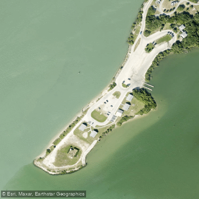
Sebastian Inlet State Park - Coconut Point Canoe Launch
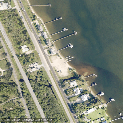
John Jorgensen Landing
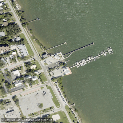
Sebastian Municipal Yacht Club Boat Ramp
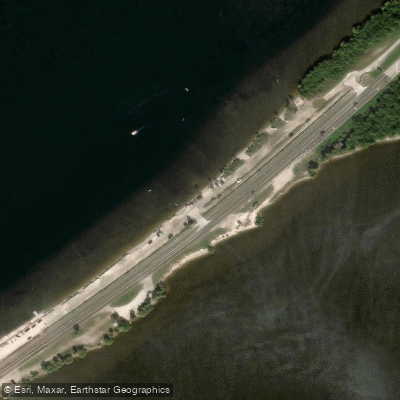
Parrish Park - Max Brewer Parkway - Paddlecraft Beach North
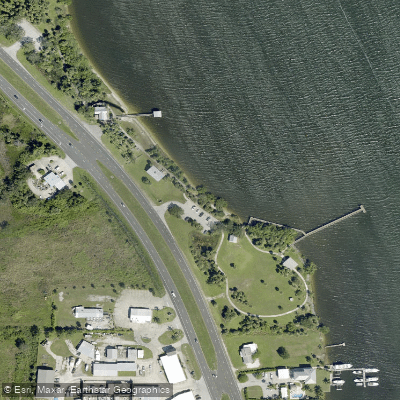
Fisherman's Landing Park Paddlecraft Beach
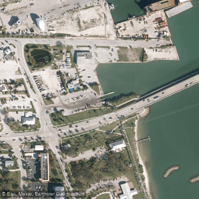
Fisherman's Wharf & Boat Ramp
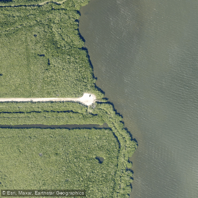
Oslo Road Boat Ramp
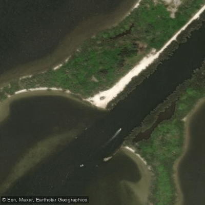
Merritt Island National Wildlife Refuge - Haulover Canal Kayak Launch Site
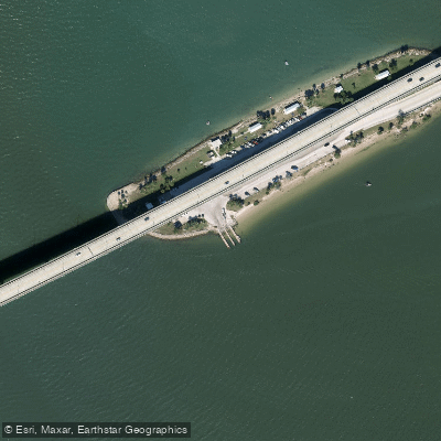
Stuart Causeway (Ernest Lyons Bridge) Boat Ramp
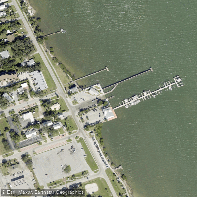
Sebastian Municipal Yacht Club
Paddle smarter with real-time insights
Whether you're en route and conditions shift or you're looking for the best spot based on current flows, we enable you to make informed decisions on the fly.








Find Places to Paddle

Over 400,000 Places to Paddle
Every user gets free access to launch points, boat ramps, and public property parcels.


Tides, wind & water conditions (10 day forecast)
On open water, wind and tide matter as much as the weather. See the best times to paddle Indian River and check the marine forecast before you launch.
Loading tide predictions…
Paddling near Indian River

Saint Johns River
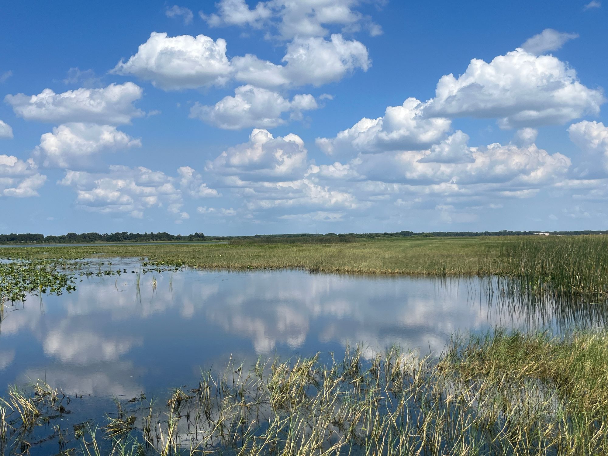
Lake Tohopekaliga
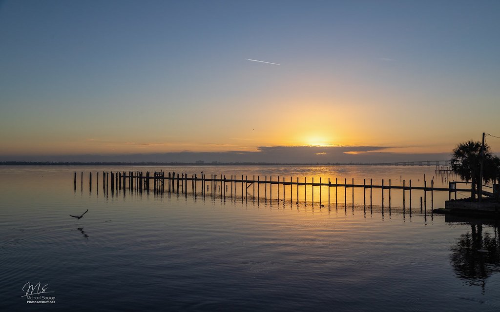
Indian River Lagoon
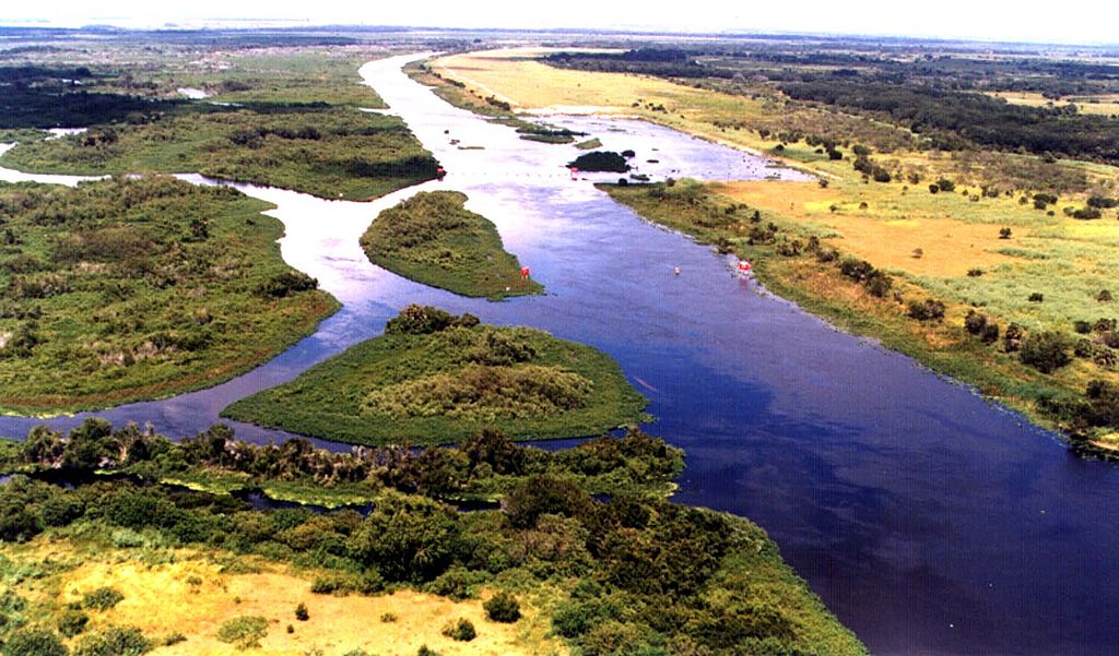
Kissimmee River
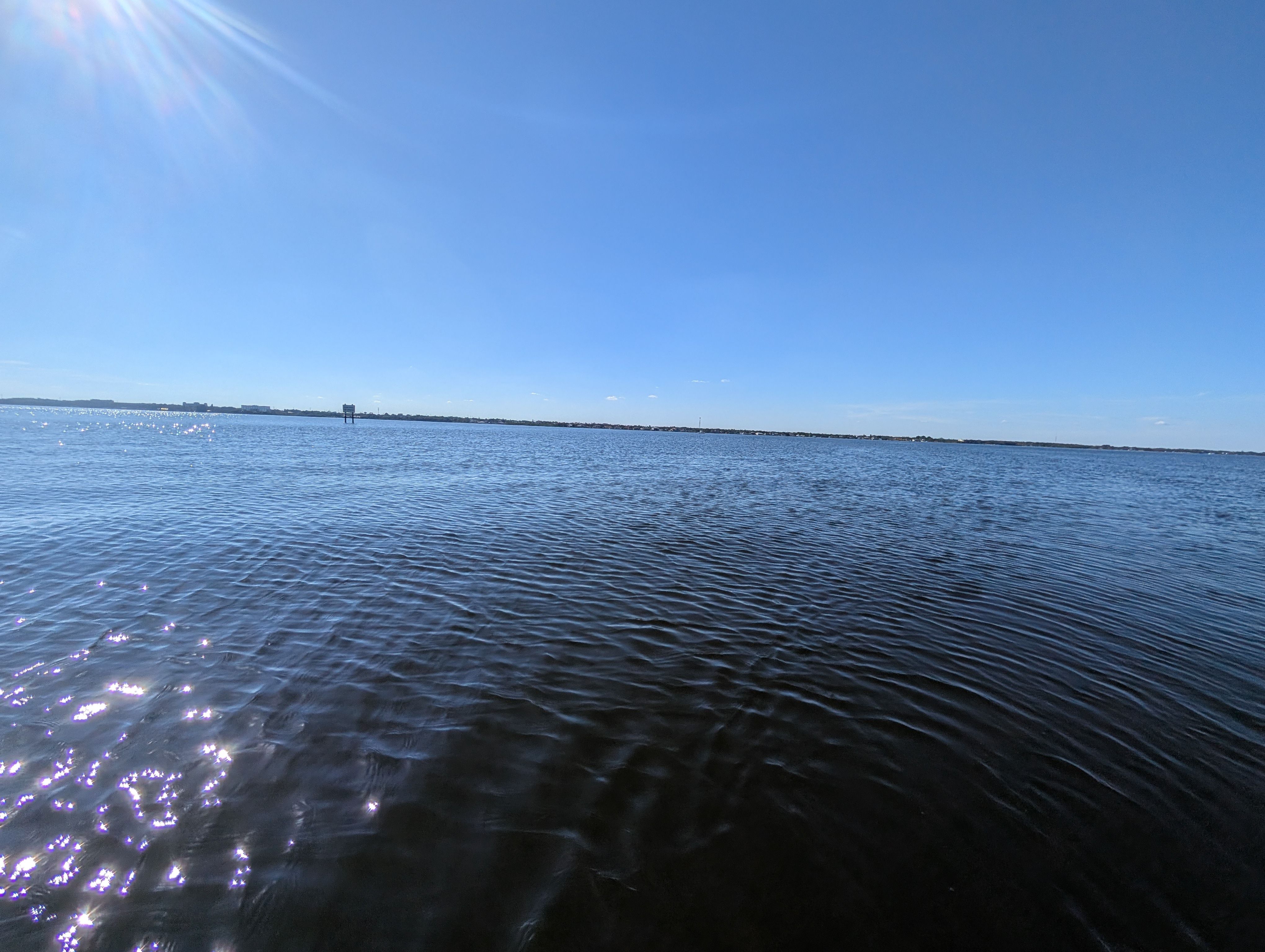
Indian River
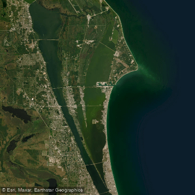
Banana River
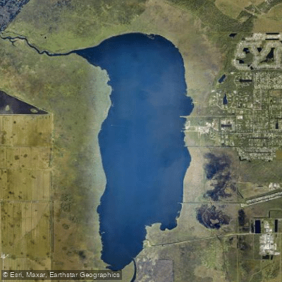
Lake Washington
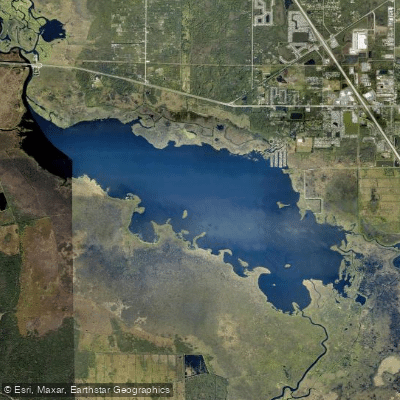
Lake Poinsett
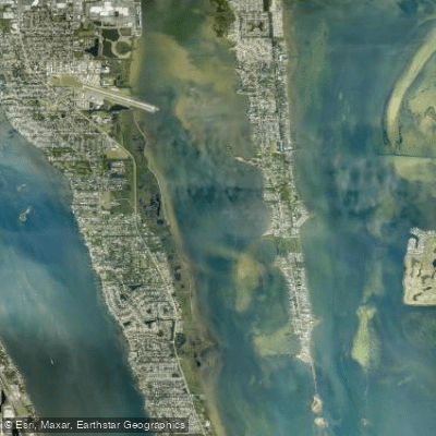
Newfound Harbor
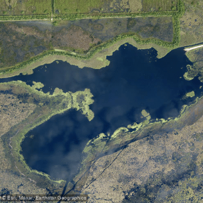
Lake Florence
Explore Florida waters
Top paddling waters
Popular Cities
Loading popular cities...
Explore near Indian River
Access points
- Sebastian Inlet State Park - Coconut Point Canoe Launch
- John Jorgensen Landing
- Sebastian Municipal Yacht Club Boat Ramp
- Parrish Park - Max Brewer Parkway - Paddlecraft Beach North
- Fisherman's Landing Park Paddlecraft Beach
- Fisherman's Wharf & Boat Ramp
- Oslo Road Boat Ramp
- Merritt Island National Wildlife Refuge - Haulover Canal Kayak Launch Site
- Stuart Causeway (Ernest Lyons Bridge) Boat Ramp
- Sebastian Municipal Yacht Club
- Oslo Road Public Boat Ramp
- Titusville Marina Park Boat Ramp
- All 186 spots
Nearby waters
More in Florida

Smarter Paddling Starts in the App.
Paddleways gives you everything you need to plan smarter, paddle better, and own every trip from first launch to takeout.