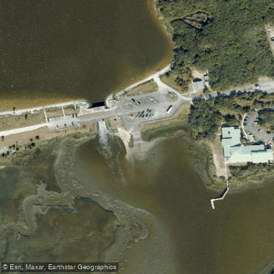
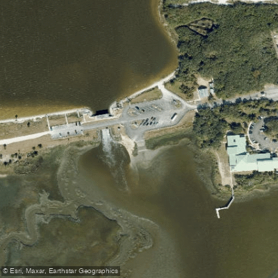
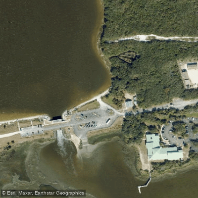
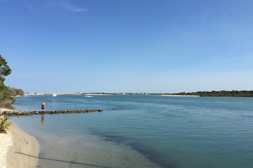
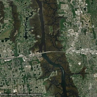
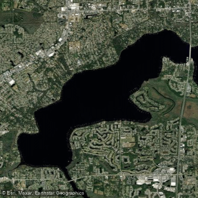
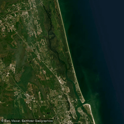
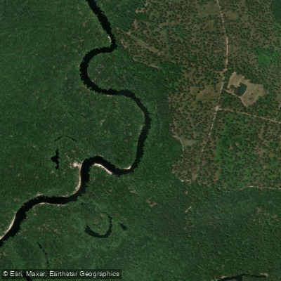
The Guana River flows through northeastern Florida's coastal region, creating a unique estuarine system within the Guana Tolomato Matanzas National Estuarine Research Reserve. This distinctive waterway is controlled by the Guana Dam, built in 1957, which separates the system into two distinct paddling environments: the calm freshwater lake north of the dam and the tidal saltwater river flowing south toward the Intracoastal Waterway. The river's most notable feature is Guana Lake, a strategically managed saltwater impoundment created by park staff who control water flow during select high tides. This 6-mile stretch between Six Mile Landing and the Guana Dam offers exceptional flatwater paddling through wetland habitats that support remarkable biodiversity.
The system spans approximately 73,352 acres across Duval, St. Johns, and Flagler counties, hosting over 358 bird species, 303 fish species, and 580 plant species.
Paddling opportunities range from beginner-friendly flatwater sections to intermediate tidal runs. The North Guana Dam area provides ideal conditions for novice paddlers with consistently calm waters and no boat traffic. The Six Mile Landing to Guana Dam section offers a scenic 6-mile journey through diverse ecosystems, while advanced paddlers can tackle the "Ride the Tide" route from Guana Dam downstream through the Intracoastal Waterway to Usina Boat Ramp, requiring careful tidal timing.
Optimal paddling occurs year-round, though seasonal restrictions apply from November 10 to February 10 when Six Mile Landing closes and northern access from the dam is limited to two miles for wildlife protection. Early morning launches provide the best wildlife viewing opportunities and cooler summer conditions.
The river system supports abundant wildlife including roseate spoonbills, bald eagles, ospreys, otters, dolphins, and excellent populations of redfish, seatrout, and black drum. The clear waters offer exceptional visibility for fish observation and underwater photography.
Primary access points include the North Guana Outpost at Mickler's Landing (4415 Mickler Road), Six Mile Landing (1700 Ponte Vedra Boulevard), and the Guana Dam facility (505 Guana River Road) in Ponte Vedra Beach. The North and South Guana Outposts provide full-service support with rentals, guided tours, and specialized programs including bioluminescence kayaking.
The reserve represents one of the few estuarine research reserves in the United States, emphasizing the river's scientific and ecological significance. Paddlers must observe wildlife protection regulations and practice Leave No Trace principles. Tidal considerations are crucial for downstream sections, with high tide timing essential for safe navigation through the Intracoastal Waterway portions. The system's unique geography, positioned between the Atlantic Ocean and mainland Florida, creates exceptional paddling opportunities within minutes of urban Ponte Vedra Beach.