Curated by PaddleWays
RouteFlatwater
- Distance
- 3.7 mi
- Paddle time
- ~1 hr
- Put-in → take-out
- Haw Creek Preserve - Russell Landing Boat Ramp → Haw Creek Preserve State Park Access
Strong winds and choppy water at confluence
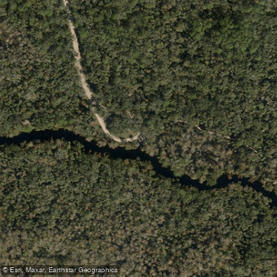
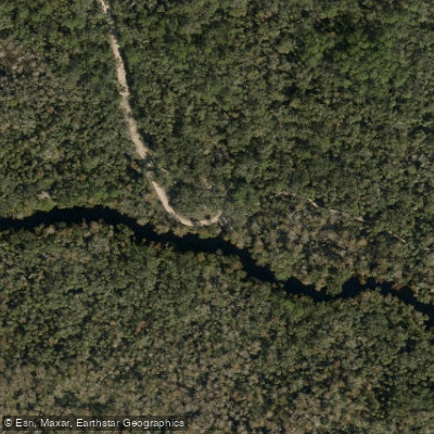
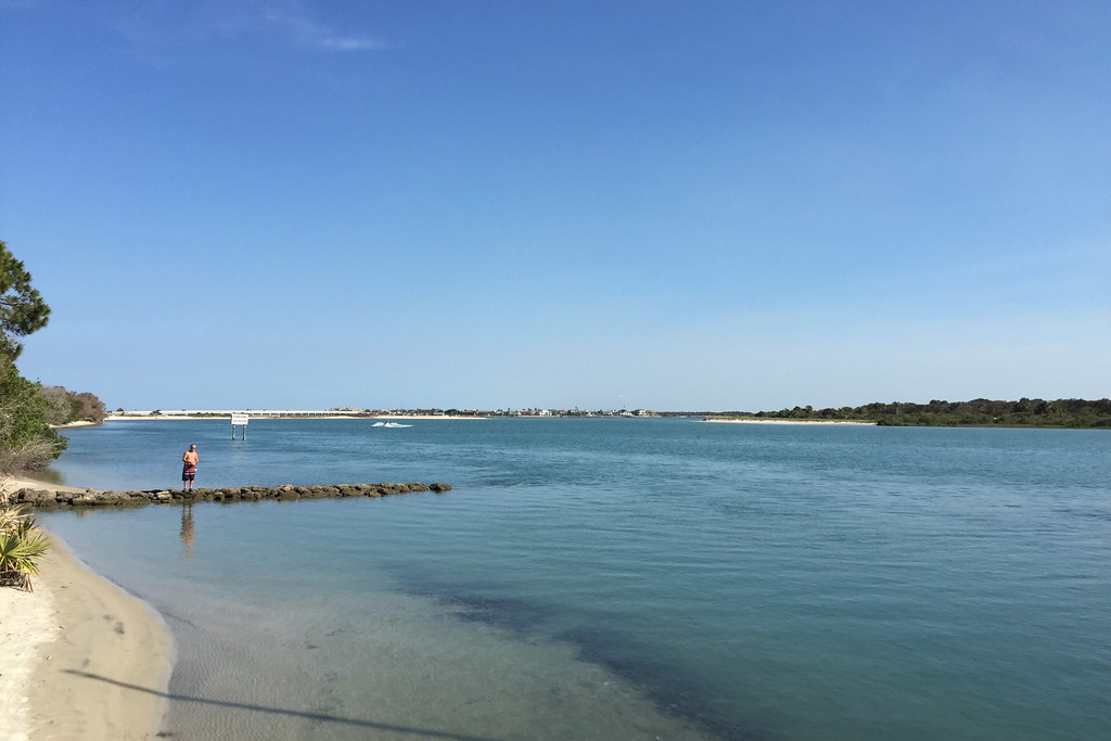
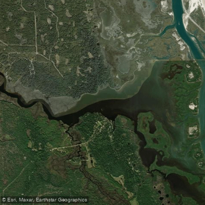
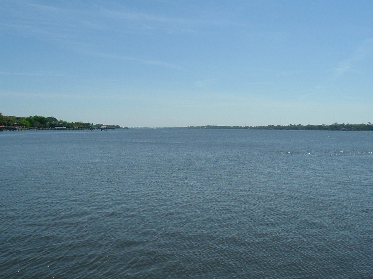
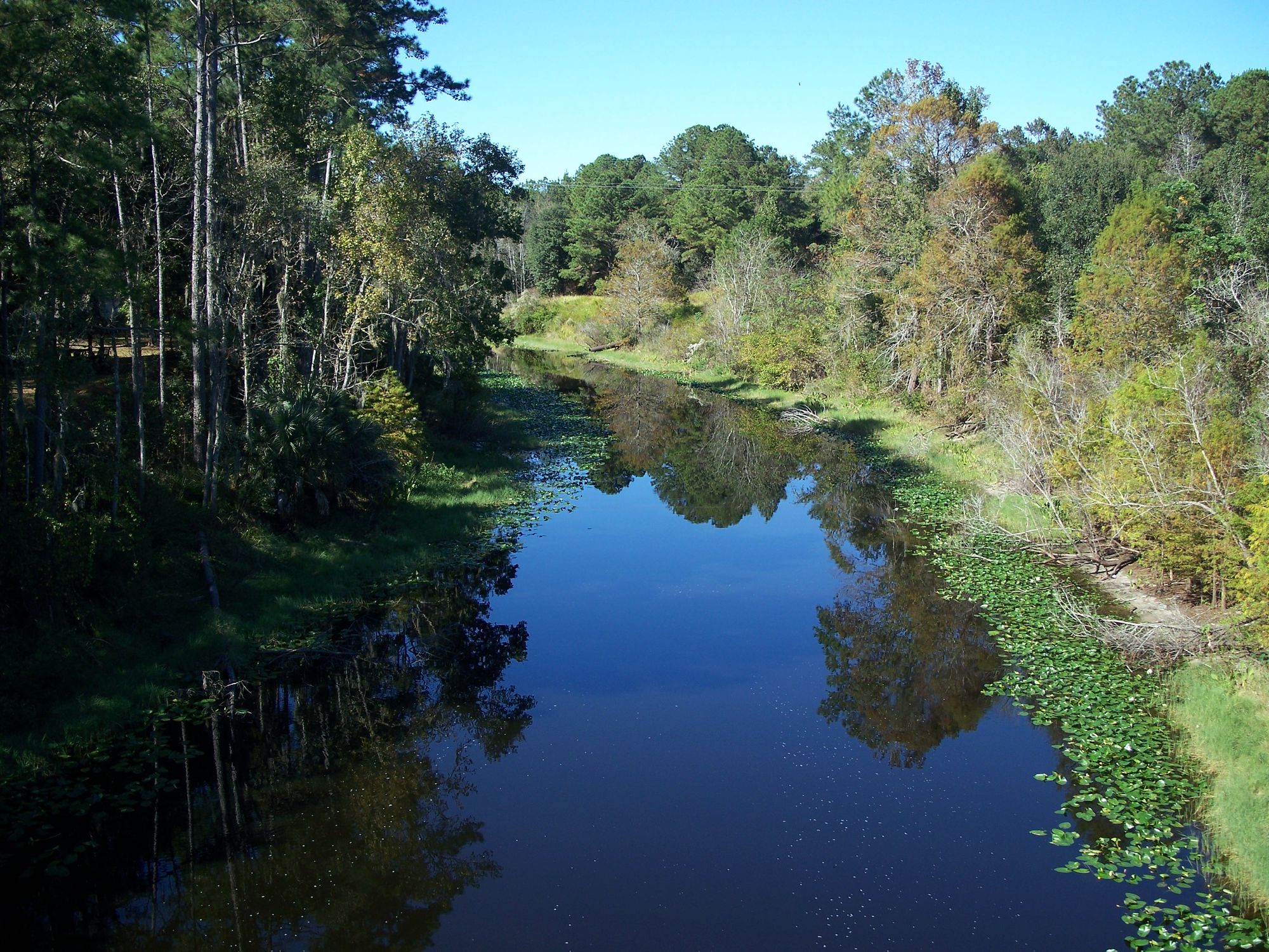
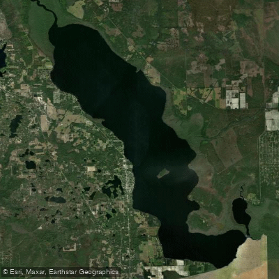
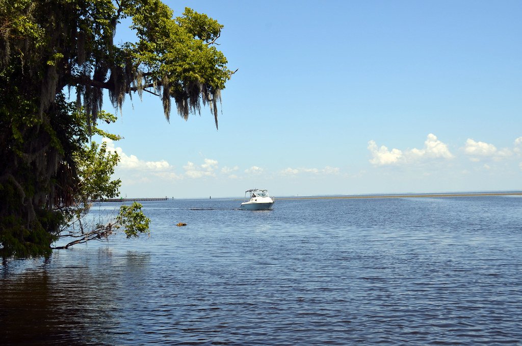
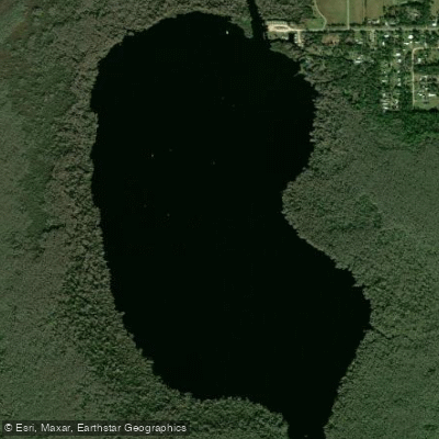
Haw Creek flows through the lowlands of western Flagler and northern Volusia Counties in Florida, originating in swamplands approximately 13.5 miles west of Ormond Beach. The creek winds northward for roughly nine miles before turning westward, eventually feeding into Dead Lake and Crescent Lake, which connects to the St. Johns River via Dunns Creek. The waterway takes its name from the haw trees (Crataegus species) that line its banks, producing small apple-like fruits historically used for making jelly. This blackwater stream exhibits the characteristic dark, tannic-stained waters typical of Florida's swamp-fed waterways, colored by decaying vegetation from adjacent floodplain forests. The creek varies in width from 75 feet near Russell Landing to 175 feet as it approaches Crescent Lake, with depths averaging 3-4 feet during normal water levels. The surrounding landscape encompasses over 3,000 acres of protected floodplain swamp, basin marsh, mesic flatwoods, and hydric hammock, creating an immersive old-growth Florida experience.
Paddling opportunities center on a 5.75-mile downstream route from Russell Landing to the confluence with Dead Lake and Crescent Lake. The journey typically takes 3-4 hours one-way, though strong winds from Crescent Lake can significantly extend return times. Upstream paddling from Russell Landing offers access to more remote sections with minimal powerboat traffic, though strainers and fallen trees require maneuvering skills. The waterway suits beginner to intermediate paddlers during calm conditions, though wind exposure near the lakes demands caution and experience.
The creek corridor supports remarkable biodiversity, including bald eagles, swallow-tailed kites, osprey, limpkins, and multiple species of wading birds such as little blue herons and wood storks. The floodplain forests harbor white-tailed deer, wild turkeys, feral hogs, and Florida black bears. Manatees occasionally venture into the creek from Crescent Lake. Trees along the waterway display extensive bromeliad populations, including the threatened giant air plant (Tillandsia utriculata), Bartram's air plant, and Spanish moss. The diverse canopy includes bald cypress, swamp tupelo, live oak, cabbage palm, sweetgum, and various ash species.
Anglers target largemouth bass, black crappie (speckled perch), bluegill, redear sunfish (shellcracker), and catfish throughout the system. Fishing pressure remains moderate due to limited access.
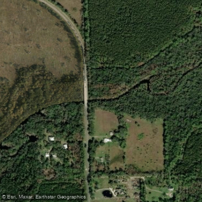
Access requires launching from Russell Landing in the county-managed Haw Creek Preserve, located at the terminus of County Road 2007, approximately 10 miles southwest of Bunnell. The site provides a concrete boat ramp, restrooms, picnic facilities, and a boardwalk trail. Bull Creek Fish Camp on Dead Lake offers an alternative take-out point approximately 5.75 miles downstream. No facilities exist within Haw Creek Preserve State Park itself, which protects the creek's southern shoreline and requires water access only.
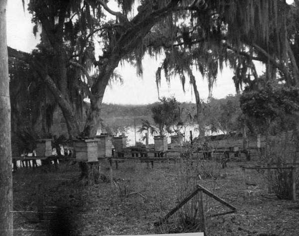
Historical evidence includes turpentine operation scars on pine trees and two 1930s-era logging canals that once floated harvested cypress to mills in Palatka. These canals now provide unique paddling side trips into dense swamp forest.
Paddlers should prepare for alligator encounters, limited cell service, and potential afternoon thunderstorms. The remoteness means self-rescue capability is essential. Invasive water hyacinth and water lettuce occasionally create paddling obstacles requiring extra effort to navigate.
Curated routes
Hand-picked by the PaddleWays team, with put-ins, take-outs, paddle times and the hazards along the way.
RouteFlatwater
RouteFlatwater
Hazards
No hazards are marked on Haw Creek yet. That is not the same as none being there: if you find one, report it for the next paddler.
From the community
Nobody has shared a trip on Haw Creek yet. Paddle it, then tell the next paddler how it went.
See exactly where the public can get on and off the river. Launch points and boat ramps are paired with PaddleWays' public land data so you know where you can legally land.
Public shoreline
31%of the river's shoreline is public
Most of the riverbank is private. Launch, land and camp only at public access points.
Flows, weather and a route-by-route verdict, so you know which stretch of the Haw Creek is worth paddling today.
Live flows, marked hazards and fresh trip reports from paddlers who were just on the water, all in one place.





Every user gets free access to launch points, boat ramps, and public property parcels.
Loading popular cities...
PaddleWays gives you everything you need to plan smarter, paddle better, and own every trip from first launch to takeout.