Curated by PaddleWays
RouteFlatwater
- Distance
- 3.5 mi
- Paddle time
- 2 hrs
- Best for
- Beginners
- Put-in → take-out
- Palmetto Leaves Regional Park Canoe Launch → Hood Landing Ramp
Missing canal turn leads to swamp
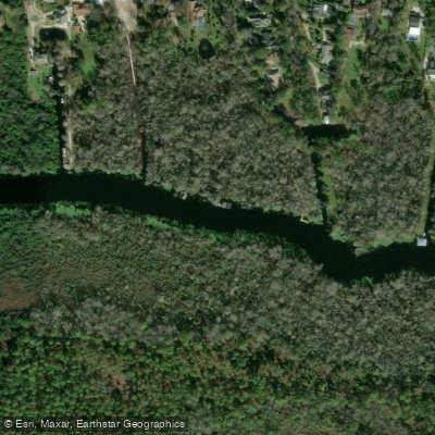
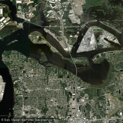
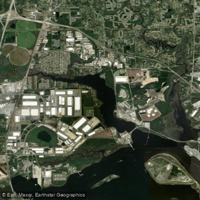
Julington Creek is a waterway in Duval County, Florida, flowing through the southern part of Jacksonville before widening into the St. Johns River near Old Bull Bay at the border of Duval and St. Johns Counties. This creek system forms a critical part of the Julington-Durbin Creek Preserve, offering paddlers access to one of northeast Florida's most pristine natural corridors within an increasingly developed metropolitan area.
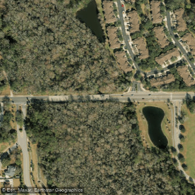
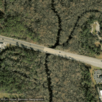
The creek serves as the centerpiece for several paddling routes ranging from 3.5 to 16 miles, all classified as flatwater suitable for novice to intermediate paddlers. Launch points include Palmetto Leaves Regional Park off Old St. Augustine Road near the I-95 interchange, where paddlers navigate through Big Davis Creek before entering Julington Creek proper. Additional access exists at Hood Landing (Clark's Fish Camp), Tommy Hazouri Sr. Park (formerly Mandarin Park) at the creek's mouth, and the Bartram Canoe Trail Launch on Durbin Creek, which connects to Julington Creek. The creek passes under Old St. Augustine Road and San Jose Boulevard bridges before reaching the St. Johns River.
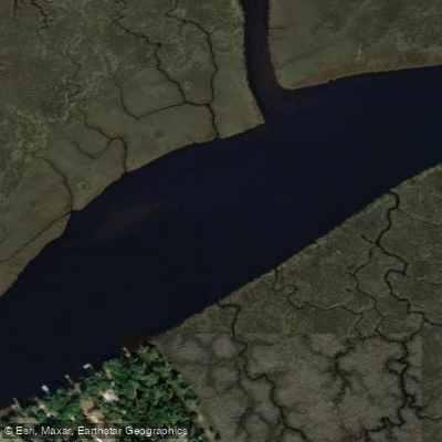
Strong tidal currents characterize Julington Creek, requiring intermediate skills for longer paddles despite the flatwater conditions. The creek's width varies considerably—narrow and intimate in its upper reaches, then expanding dramatically near its confluence with Durbin Creek and the St. Johns River, where it can reach over 1,200 feet across. Depths typically exceed seven feet in the main channel, with flood stage occurring at three feet on tide gauges.
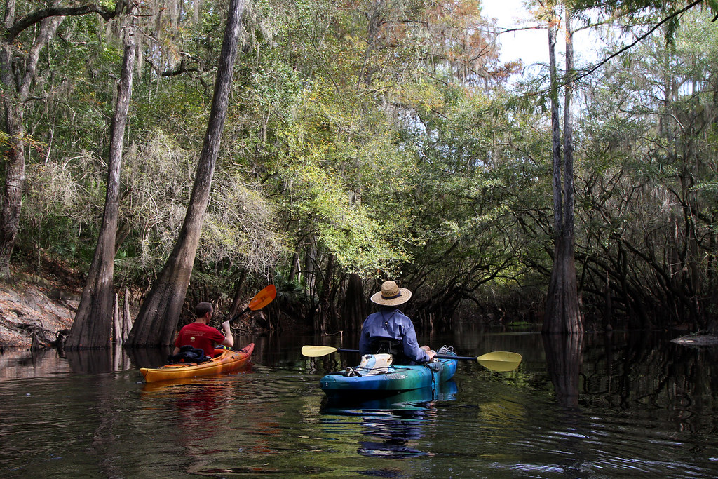
The Julington-Durbin Creek Preserve protects nine miles of shoreline and seven distinct natural communities, from sandhill and flatwood environments to extensive floodplain swamps and marshes. Paddlers encounter thickly forested wetlands dominated by massive specimen bald cypress trees, their buttressed trunks rising from dark tannin-stained waters. The preserve supports abundant wildlife including various aquatic species, wading birds, and other native fauna typical of Florida's riverine ecosystems.
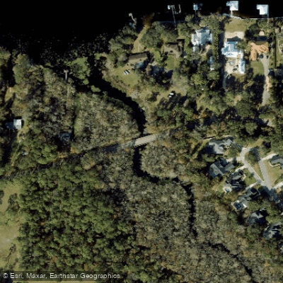
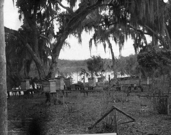
Historical accounts document settlements along Julington Creek dating to 1837. The Bartram Canoe Trail, named for naturalist William Bartram who explored these waterways in the 1770s, connects Durbin Creek to Julington Creek. Florida State Road 13, designated the William Bartram Scenic and Historic Highway, crosses Julington Creek via bridge.
The preserve's trail system offers 6.1 miles of paths for hiking, biking, and horseback riding, complementing water-based recreation. Paddlers should note strong currents when planning return trips, particularly the canal entrance at Palmetto Leaves Regional Park, which requires careful navigation to avoid missing the turn. The creek remains relatively undeveloped compared to surrounding Jacksonville areas, providing glimpses of pre-development Florida landscapes beneath mature hardwood canopies.
Curated routes
Hand-picked by the PaddleWays team, with put-ins, take-outs, paddle times and the hazards along the way.
RouteFlatwater
RouteFlatwater
Hazards
No hazards are marked on Julington Creek yet. That is not the same as none being there: if you find one, report it for the next paddler.
From the community
Nobody has shared a trip on Julington Creek yet. Paddle it, then tell the next paddler how it went.
See exactly where the public can get on and off the river. Launch points and boat ramps are paired with PaddleWays' public land data so you know where you can legally land.
Public shoreline
21%of the river's shoreline is public
Most of the riverbank is private. Launch, land and camp only at public access points.
Flows, weather and a route-by-route verdict, so you know which stretch of the Julington Creek is worth paddling today.
All Flow Stations
Live flows, marked hazards and fresh trip reports from paddlers who were just on the water, all in one place.





Every user gets free access to launch points, boat ramps, and public property parcels.
Loading popular cities...
PaddleWays gives you everything you need to plan smarter, paddle better, and own every trip from first launch to takeout.