Lake Maitland
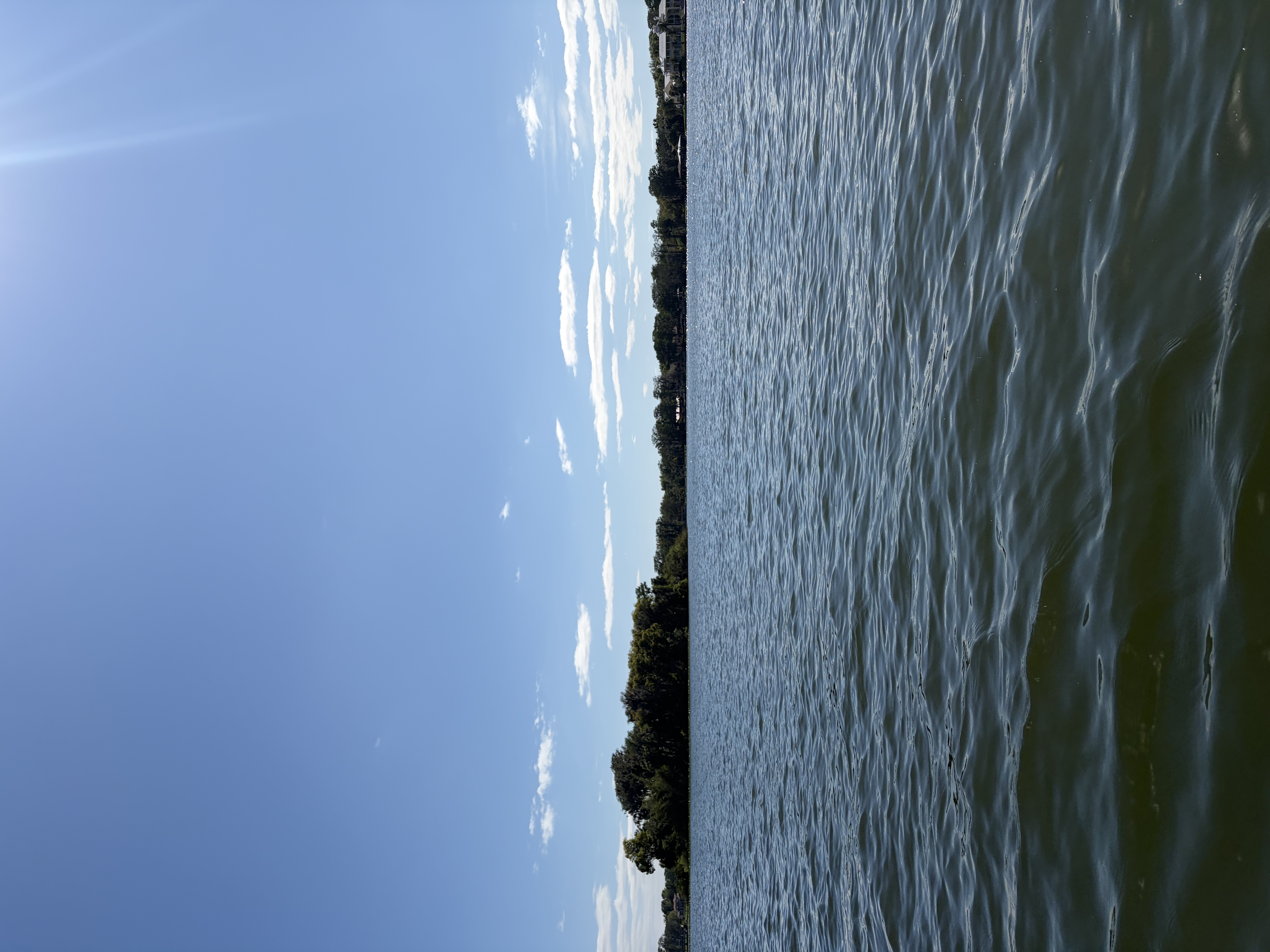
Lake Maitland
- Boat Ramps
- 2
- Access Points
- 2
- Campsites
- 1
Lake Maitland is a 449-acre lake within the Winter Park Chain of Lakes in central Florida, connected to neighboring lakes by a series of navigable canals. Two primary public launch points serve paddlers: Fort Maitland Park (with parking, picnic areas, and restrooms) and Kraft Azalea Gardens (limited parking, small beach launch requiring a short carry).
The lake features several distinct attractions, including Dog Island at its center - a popular stop for paddlers with a picnic table and grill. The Isle of Sicily, accessed by a small bridge, borders the lake's residential area. The Venetian Canal, the longest in the chain, connects Lake Maitland to Lake Osceola through a narrow, shaded passage lined with semi-tropical vegetation and historic boathouses.
Paddlers share the water with motorized boats and the Rollins College rowing team, requiring vigilance particularly in the narrow canals. The Winter Park Scenic Boat Tour operates regular tours through the waterways, and paddlers should be prepared to yield to these wider vessels in the canals.
Wildlife viewing opportunities include herons, anhingas, great white egrets, and tri-colored herons. The shoreline combines natural areas, particularly around Kraft Azalea Gardens, with upscale residential properties and their private docks.
From Lake Maitland, paddlers can access Lake Nina (the smallest in the chain) and Lake Minnehaha through connecting canals. The canals offer shelter from wind and sun, making them particularly pleasant for paddling. Non-motorized vessels do not require permits, though motorized boats must obtain city permits.
For a complete chain of lakes experience, paddlers can traverse approximately 3 miles between Fort Maitland and Dinky Dock on Lake Virginia. The interconnected waterways allow for trips of varying lengths, with the canals providing scenic passages between the open waters of the lakes.
Water access, boat ramps & amenities
Learn how to get on Lake Maitland. Uncover great paddling access points, boat ramps, and all the facilities you need for an unforgettable day on the water. Some locations shown may border or include private property. Always check property boundaries and applicable regulations before visiting. PaddleWays's Public & Private Land layer can help you plan your access with confidence.
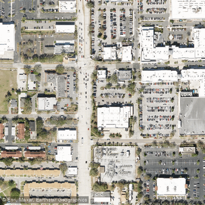
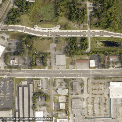
Paddle smarter with real-time insights
Whether you're en route and conditions shift or you're looking for the best spot based on current flows, we enable you to make informed decisions on the fly.








Find Places to Paddle

Over 400,000 Places to Paddle
Every user gets free access to launch points, boat ramps, and public property parcels.


Water and weather conditions (10 day forecast)
See the best times to paddle Lake Maitland and check the forecast before you go.
No forecast data available.
Paddling near Lake Maitland
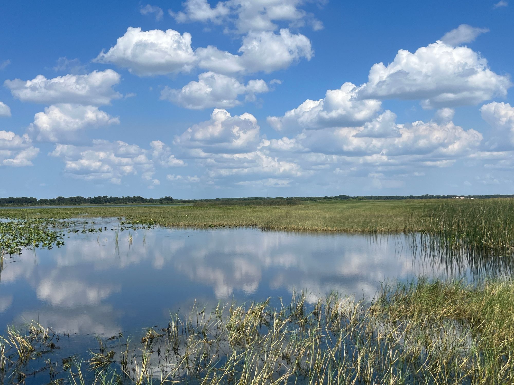
Lake Tohopekaliga

Saint Johns River
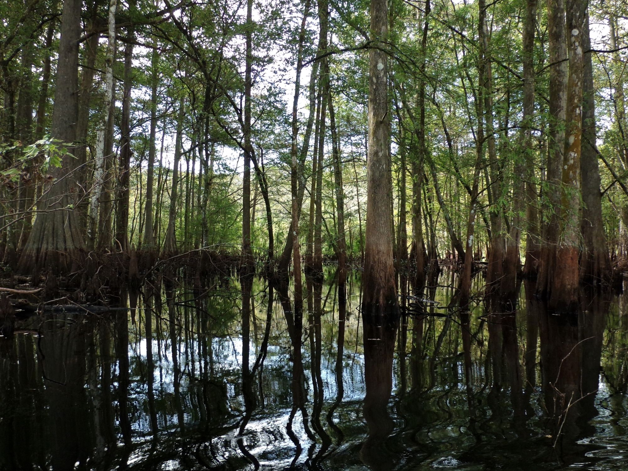
Withlacoochee River
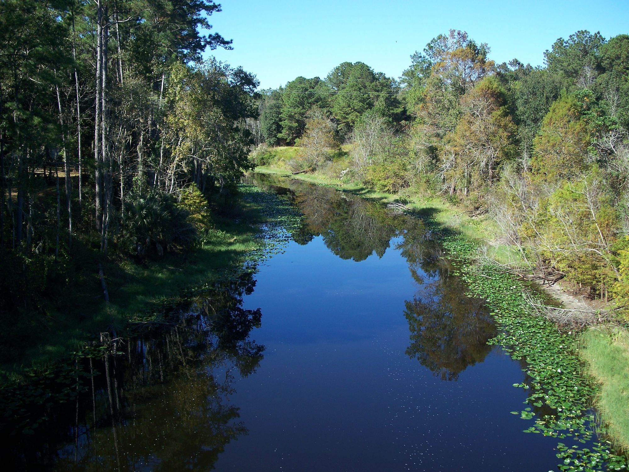
Ocklawaha River
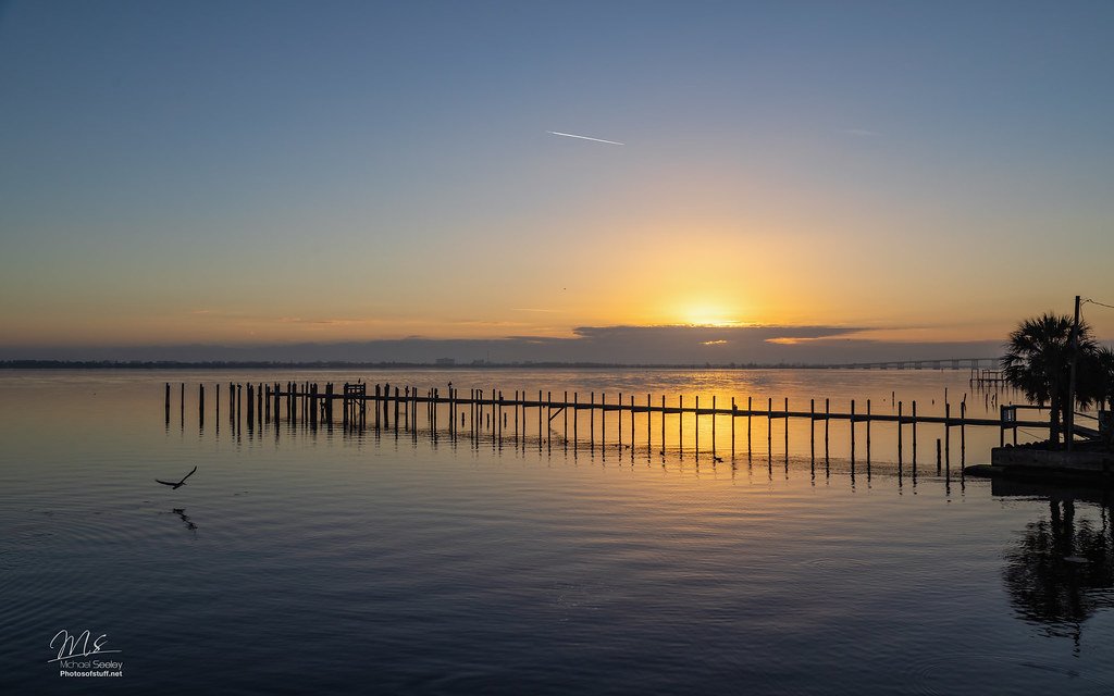
Indian River Lagoon
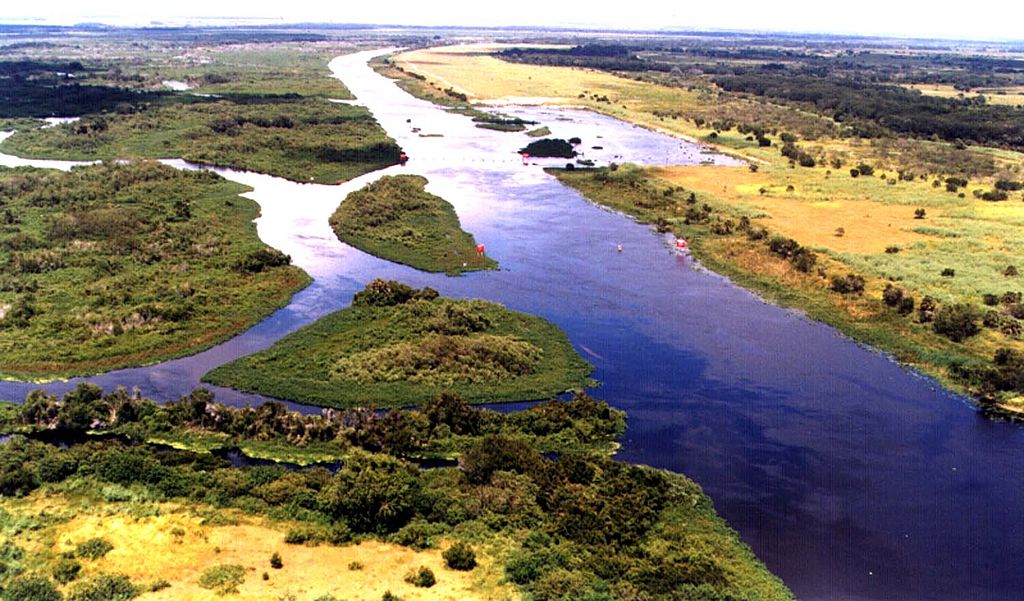
Kissimmee River
Halifax River
Indian River
Explore Florida waters
Top paddling waters
Popular Cities
Loading popular cities...
Explore near Lake Maitland
Access points
Nearby waters
More in Florida

Smarter Paddling Starts in the App.
Paddleways gives you everything you need to plan smarter, paddle better, and own every trip from first launch to takeout.