Orange Lake
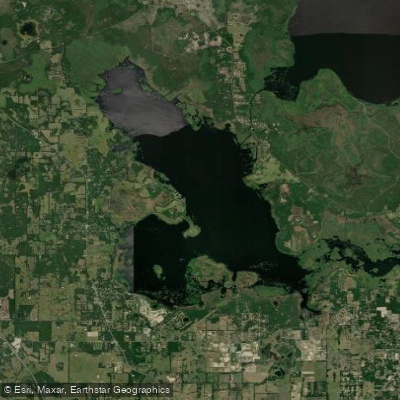
Orange Lake
- Boat Ramps
- 3
- Access Points
- 4
- Campsites
- 8
Orange Lake, situated in Alachua and Marion counties in north-central Florida, is the largest lake in the region at 12,550 acres. Despite its size, the lake averages only 5.5 feet in depth with a maximum of 12 feet, making it a unique shallow-water paddling destination approximately 20 miles southeast of Gainesville.
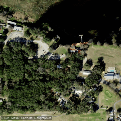
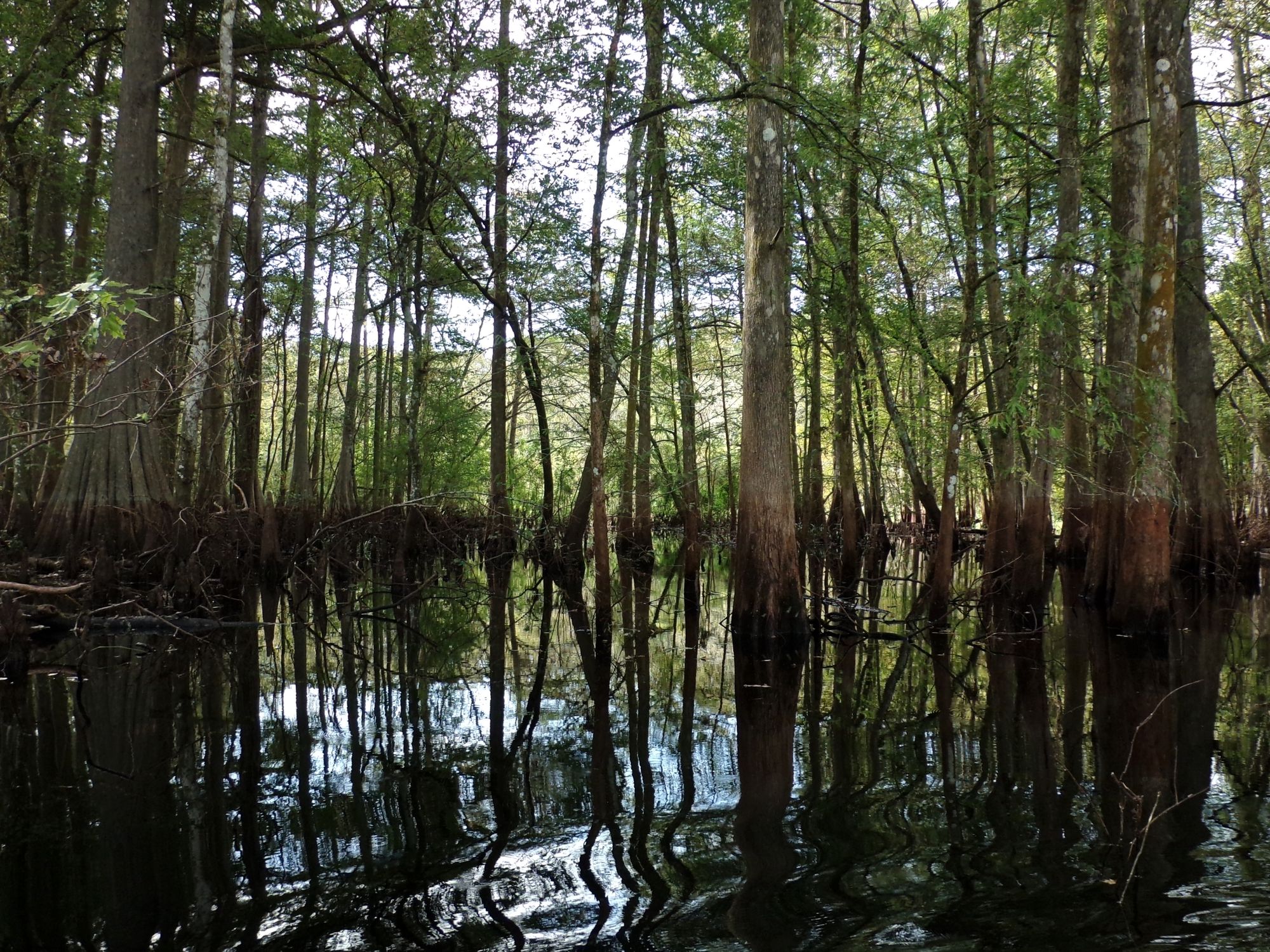
**Access and Launch Points** The primary public access is through the Marjorie Kinnan Rawlings Historic State Park/Kate Barnes Boat Ramp at Cross Creek (18700 County Road 325). Another access point formerly existed at Heagy-Burry Park on the southwestern shore, though this facility has been closed for repairs. The lake connects to Lochloosa Lake via the scenic, mile-long Cross Creek channel, which offers a narrow, canopy-covered paddle under cypress, oak, and maple trees. This creek entrance provides one of the most beautiful approaches to the lake.
**Character and Conditions** Orange Lake is famous for its "floating islands" or tussocks—vegetation mats that break free during water level fluctuations and drift across the lake. These create a distinctive landscape but can complicate navigation during high winds. The lake has extensive aquatic vegetation, dominated by spatterdock (lily pads) and periodically hydrilla, with shallow marsh areas becoming inaccessible due to dense growth. Water levels can fluctuate significantly, averaging 2 feet annually.
**Wildlife and Scenery** The lake is a designated Fish Management Area and birdwatcher's paradise, hosting abundant populations of bald eagles, ospreys, egrets, herons, and various wading birds. Alligators, turtles, and other wildlife are commonly observed. The shoreline features over 20 miles of beautiful bald cypress forest, though paddlers should note that thick vegetation often keeps you a quarter-mile from the actual treeline.
**Considerations** The shallow, open nature makes Orange Lake susceptible to rough conditions during windy weather. Paddlers should stay alert for motorboat traffic and be prepared for variable water clarity and navigation challenges around floating vegetation islands.
Water access, boat ramps & amenities
Learn how to get on Orange Lake. Uncover great paddling access points, boat ramps, and all the facilities you need for an unforgettable day on the water. Some locations shown may border or include private property. Always check property boundaries and applicable regulations before visiting. PaddleWays's Public & Private Land layer can help you plan your access with confidence.
Paddle smarter with real-time insights
Whether you're en route and conditions shift or you're looking for the best spot based on current flows, we enable you to make informed decisions on the fly.








Find Places to Paddle

Over 400,000 Places to Paddle
Every user gets free access to launch points, boat ramps, and public property parcels.


Water and weather conditions (10 day forecast)
See the best times to paddle Orange Lake and check the forecast before you go.
No forecast data available.
Paddling near Orange Lake
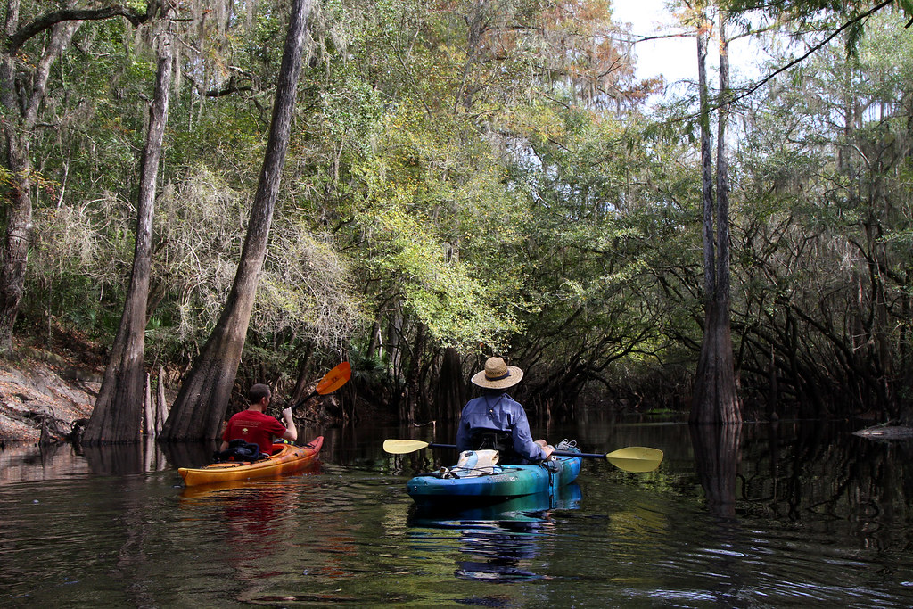
Santa Fe River
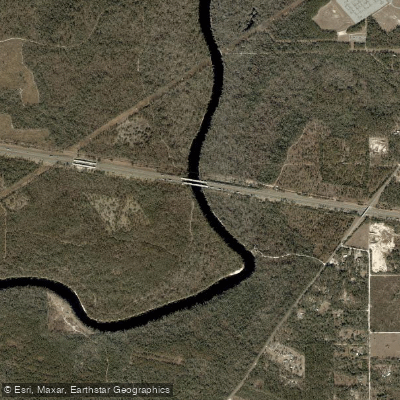
Suwannee River
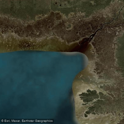
Waccasassa Bay
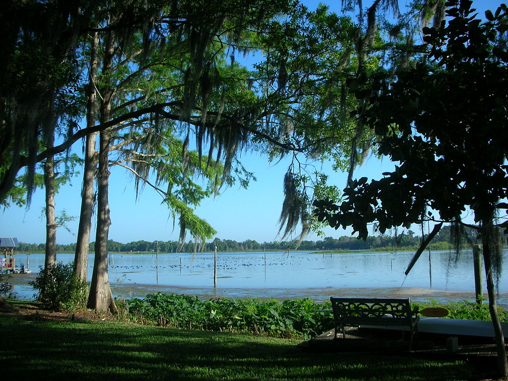
Lake Rousseau
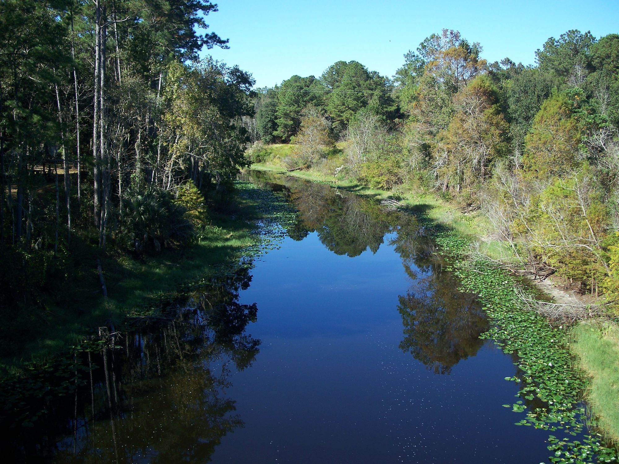
Ocklawaha River
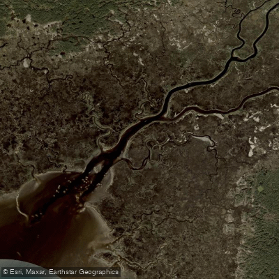
Waccasassa River

Saint Johns River
Withlacoochee River
Ramsey Creek
Newnans Lake
Explore Florida waters
Top paddling waters
Popular Cities
Loading popular cities...
Explore near Orange Lake
Access points
- Heagy Burry Park Orange Lake Boat Ramp
- Lakeshore Fish Camp (water no longer reaches ramp)
- Sportsman's Cove Boat Ramp
- Heagy Burry Park Access
- Cross Creek Bridge
- Lochloosa Slough Bridge
- Sportsman's Cove Campground
- Water's Edge Oaks Campground
- Grand Lake RV Resort Campground
- Lochloosa Wildlife Conservation Campground
- Orange Creek Restoration Campground
- Ocala North Rv Park Campground
- All 14 spots
Nearby waters
More in Florida

Smarter Paddling Starts in the App.
Paddleways gives you everything you need to plan smarter, paddle better, and own every trip from first launch to takeout.