Withlacoochee Bay
- Saltwater
- Bay
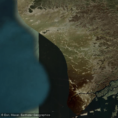
Withlacoochee Bay
- Saltwater
- Bay
- Sq. miles
- 19
- Boat Ramps
- 3
- Access Points
- 0
- Campsites
- 3
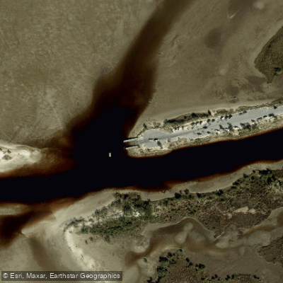
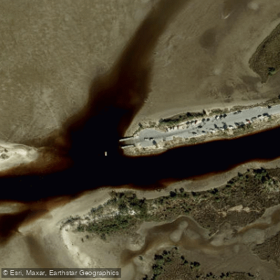
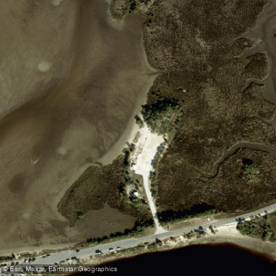
Withlacoochee Bay is a coastal bay in Florida where the Withlacoochee River meets the Gulf of Mexico. The bay is characterized by grass flats, mangrove islands and islets, oyster bars, and reefs, creating a complex saltwater environment for paddlers. The area is part of the Cross Florida Greenway, and the paved Withlacoochee Bay Trail runs 5 miles westward, paralleling the Cross Florida Barge Canal and offering several access points. A dedicated canoe/kayak launch is located at the westernmost parking area of this trail, providing direct access to the bay. Another key launch point for reaching the bay is the dock on Helverson Creek within the Withlacoochee Gulf Preserve; from here, it is approximately an hour's paddle to Bird Creek Beach at the bay's edge. Bird Creek Park, at the mouth of the river, offers a beach launch with parking, picnicking, and restrooms, which is preferred by many paddlers over the adjacent boat ramp. Paddling in Withlacoochee Bay is subject to significant tidal influence, with high tides capable of flooding low-lying land. The open waters of the bay are exposed to coastal winds, and paddlers should be prepared for potential mudflats and insects, especially during calm evenings and mornings. The bay provides a remote experience through a mosaic of salt marsh and mangrove passages, with notable wildlife including egrets. The western terminus of the Withlacoochee Bay Trail offers a panoramic view of the bay. Facilities are limited to launch areas; the Felburn Park trailhead has restrooms and water, while other access points along the trail offer basic parking. Gates to these areas are locked at sunset. A recommended route is the Withlacoochee Gulf Preserve Paddling Trail from Helverson Creek to Bird Creek Beach.
Water access, boat ramps & amenities
Learn how to get on Withlacoochee Bay. Uncover great paddling access points, boat ramps, and all the facilities you need for an unforgettable day on the water. Some locations shown may border or include private property. Always check property boundaries and applicable regulations before visiting. PaddleWays's Public & Private Land layer can help you plan your access with confidence.
Paddle smarter with real-time insights
Whether you're en route and conditions shift or you're looking for the best spot based on current flows, we enable you to make informed decisions on the fly.








Find Places to Paddle

Over 400,000 Places to Paddle
Every user gets free access to launch points, boat ramps, and public property parcels.


Tides, wind & water conditions (10 day forecast)
On open water, wind and tide matter as much as the weather. See the best times to paddle Withlacoochee Bay and check the marine forecast before you launch.
Loading tide predictions…
Paddling near Withlacoochee Bay
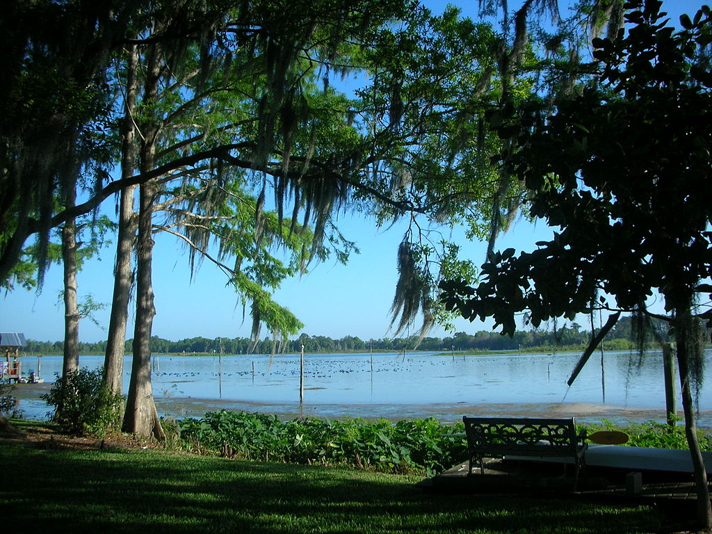
Lake Rousseau
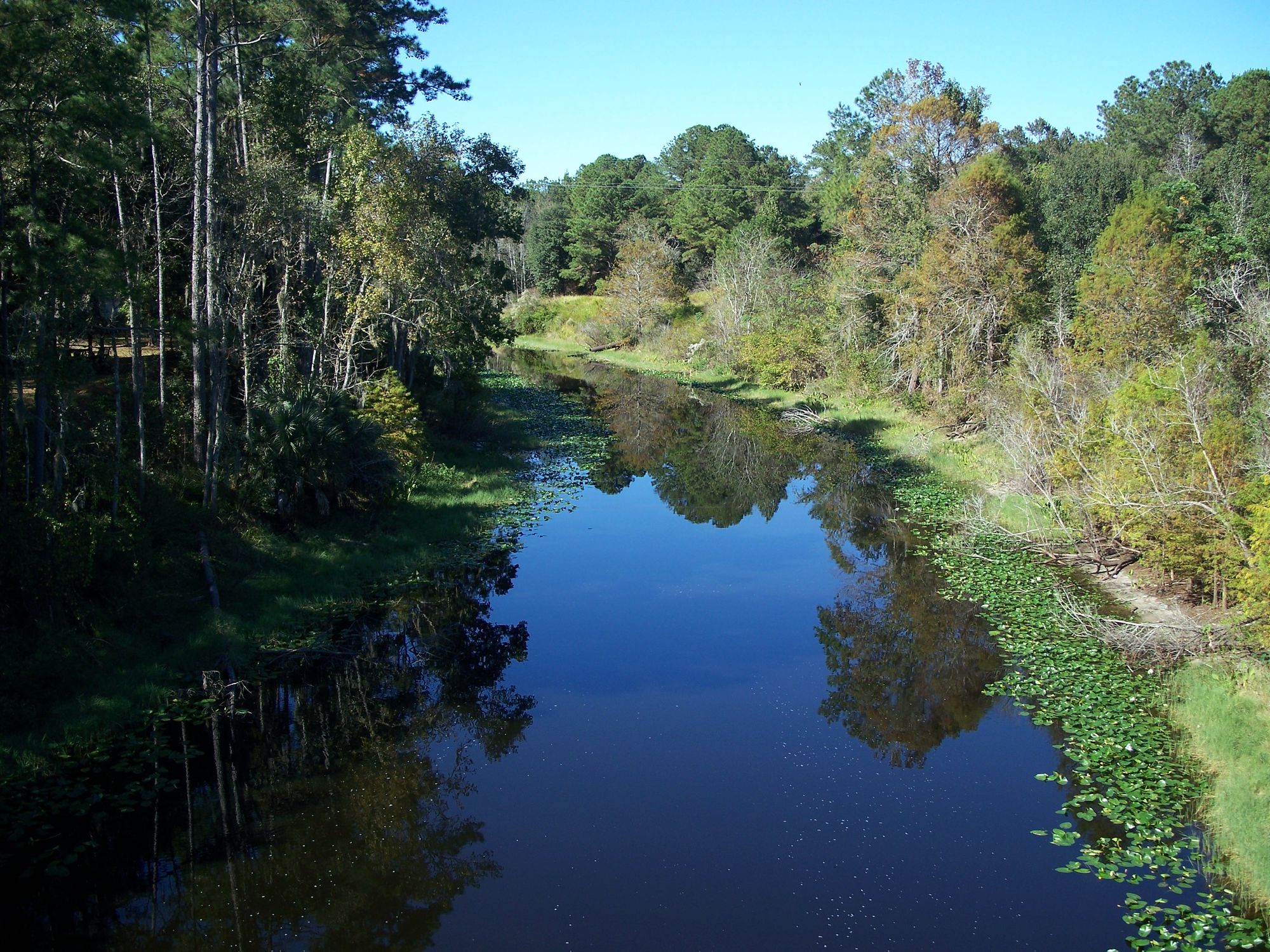
Ocklawaha River
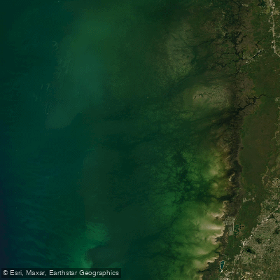
Saint Martins Reefs
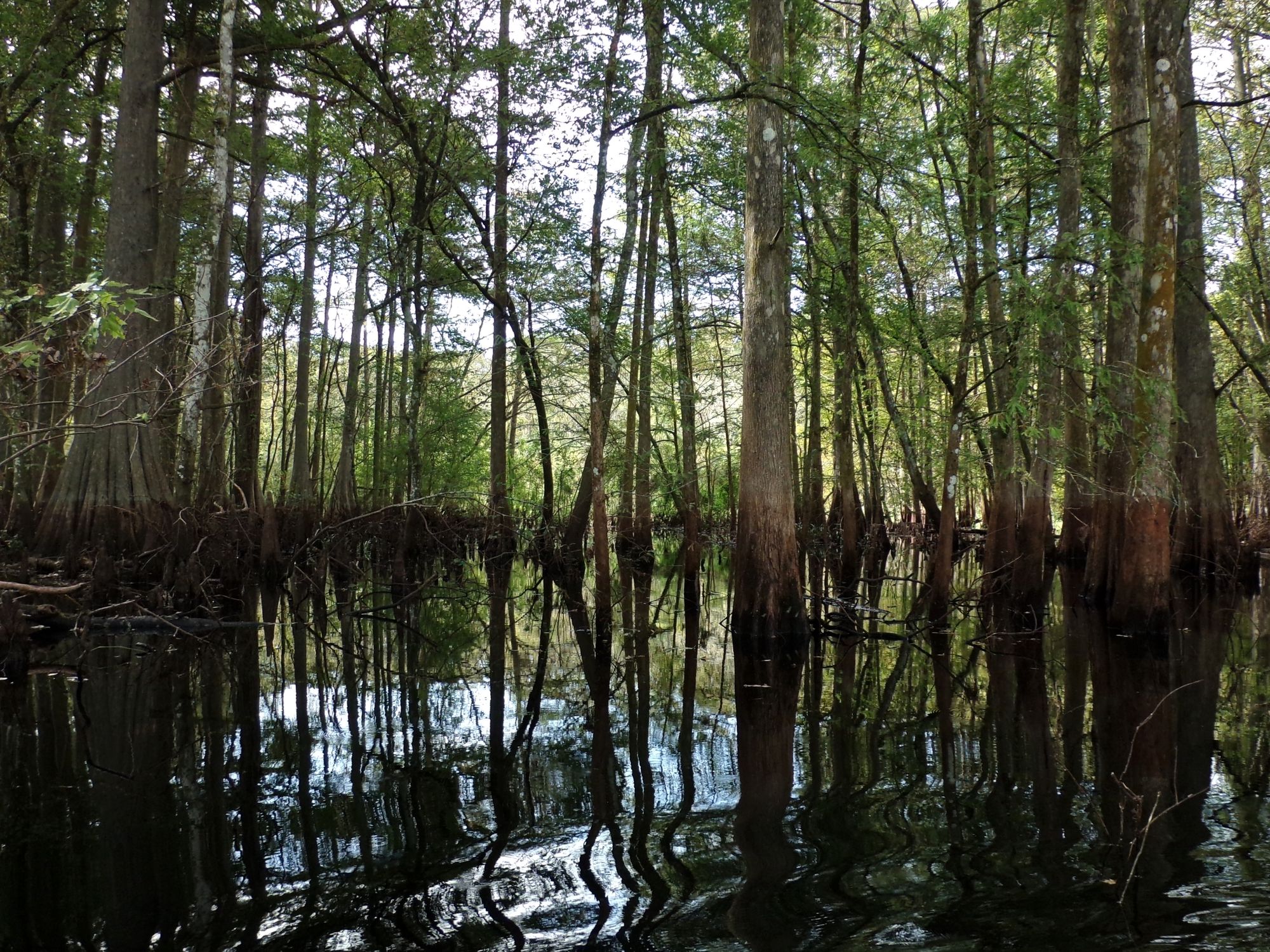
Withlacoochee River

Saint Johns River
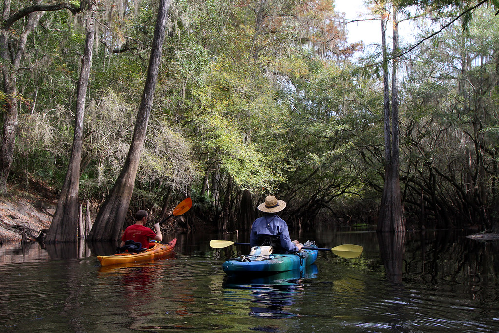
Santa Fe River
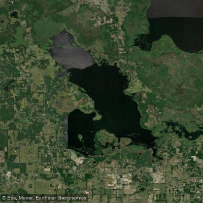
Orange Lake
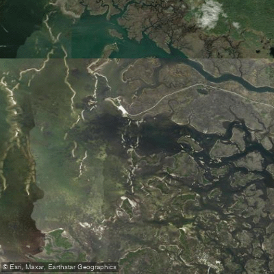
Crystal Bay
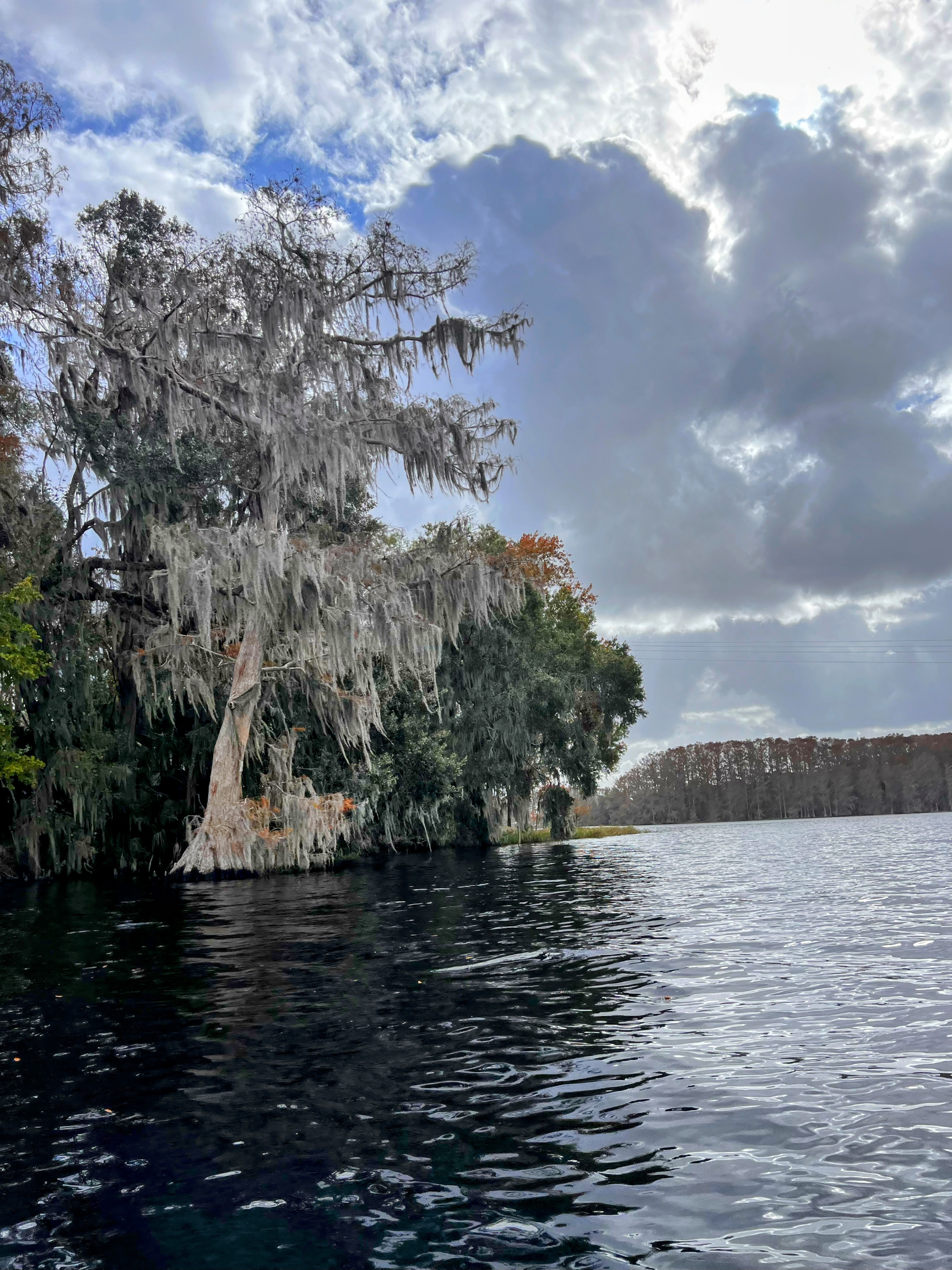
Tsala Apopka Lake
Explore Florida waters
Top paddling waters
Popular Cities
Loading popular cities...
Explore near Withlacoochee Bay
Access points
Nearby waters
More in Florida

Smarter Paddling Starts in the App.
Paddleways gives you everything you need to plan smarter, paddle better, and own every trip from first launch to takeout.