Curated by PaddleWays
RouteFlatwater
- Distance
- 2.6 mi
- Paddle time
- ~1 hr
- Best for
- Experienced paddlers
- Put-in → take-out
- Canoe Outpost Access → Little Manatee River State Park - Pavillion #1 Alternative Canoe Launch (Call Office)
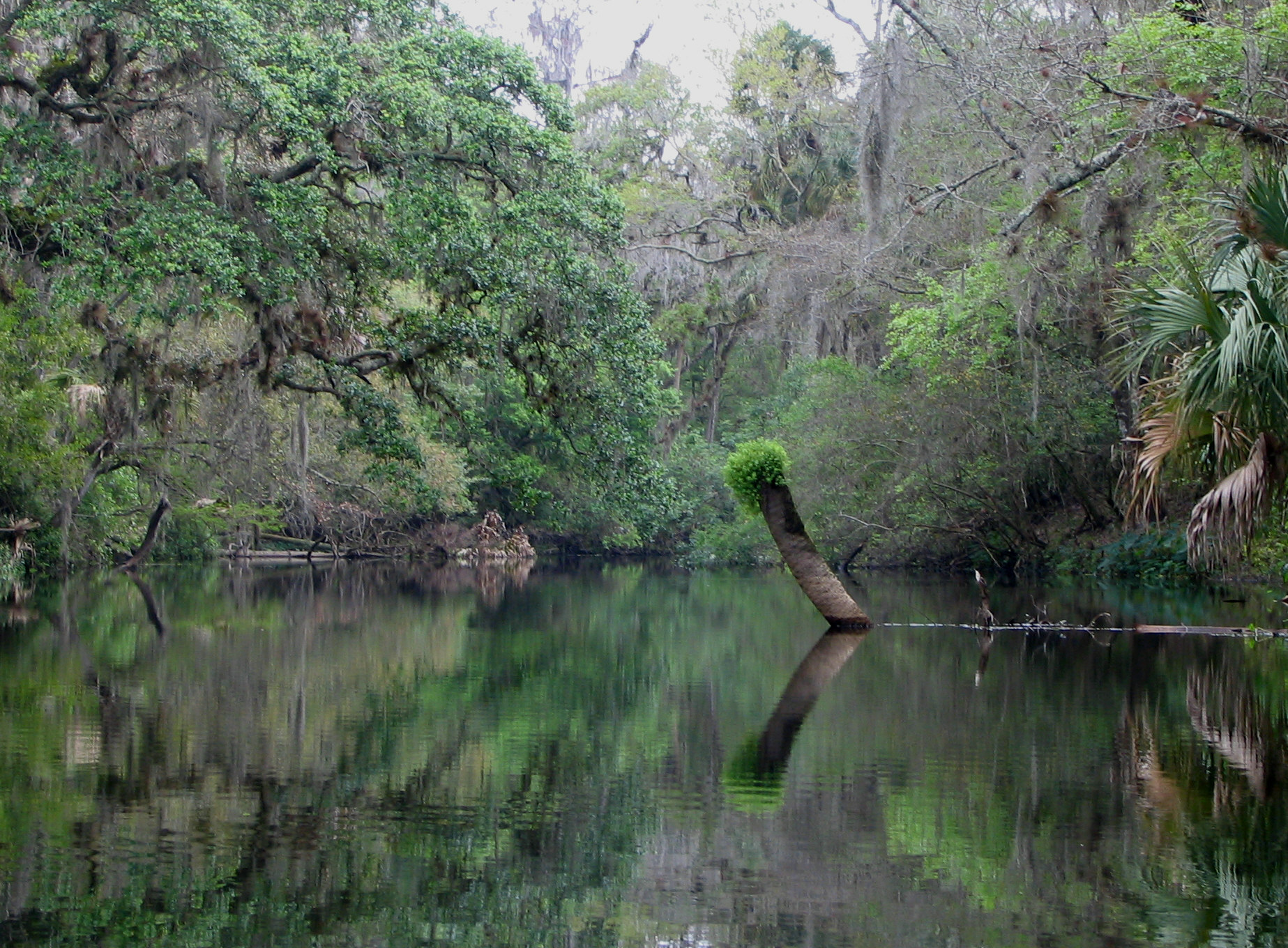
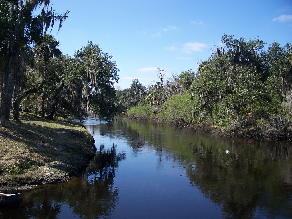
The Little Manatee River is a pristine waterway that originates near Fort Lonesome in central Florida and flows westward for 40 miles before emptying into Tampa Bay. This blackwater stream begins as a narrow creek winding through oak and ash floodplain forests before gradually widening into a tidal estuary. Paddlers can experience the full spectrum of Florida ecosystems along the Little Manatee's course.
The upper 28 miles offer a wilderness paddling experience through a narrow, winding channel with overhanging trees and swift current. As the river approaches the coast, it widens to nearly 300 feet across and becomes influenced by tides.
The river features several distinct paddling sections catering to different skill levels. The upper wilderness section from Fort Lonesome to US 301 is best suited for intermediate paddlers comfortable with tight turns and faster water. The 10-mile designated paddling trail from US 301 to Wildcat Park near Ruskin is ideal for beginners, with multiple access points allowing for trips of various lengths.
Spring and fall offer the most pleasant paddling conditions, with milder temperatures and lower water levels revealing sandbars for rest stops. Summer brings higher water levels and lush vegetation, but also increased chances of afternoon thunderstorms.
The Little Manatee River State Park provides a focal point for exploration, with hiking trails and camping facilities complementing paddling opportunities. Paddlers may spot alligators, turtles, and a variety of wading birds. Manatees occasionally venture upriver during winter months.
Key access points include the put-ins at CR 579, Leonard Lee Road, and US 301 near Wimauma. Canoe Outpost, located at the US 301 bridge, offers rentals and shuttle services for day trips and multi-day adventures.
Designated as an Outstanding Florida Water, the Little Manatee River holds both ecological and cultural significance. Its pristine condition provides a glimpse into Florida's natural heritage, while also supporting modern recreational opportunities.
Paddlers should be aware of tidal influences in the lower sections and occasional logjams in the upper reaches. Multi-day trips are possible by combining different sections, with primitive camping available at designated sites within the state park.
The Little Manatee River offers a quintessential Florida paddling experience, allowing visitors to immerse themselves in the state's diverse aquatic environments while enjoying the serenity of a relatively undeveloped waterway.
Curated routes
Hand-picked by the PaddleWays team, with put-ins, take-outs, paddle times and the hazards along the way.
RouteFlatwater
RouteFlatwater
RouteFlatwater
Hazards
No hazards are marked on Little Manatee River yet. That is not the same as none being there: if you find one, report it for the next paddler.
From the community
Nobody has shared a trip on Little Manatee River yet. Paddle it, then tell the next paddler how it went.
See exactly where the public can get on and off the river. Launch points and boat ramps are paired with PaddleWays' public land data so you know where you can legally land.
Public shoreline
50%of the river's shoreline is public
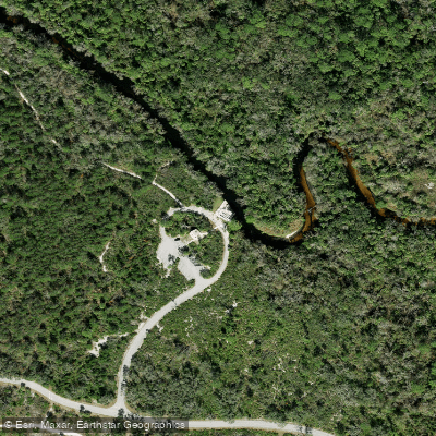
Boat Ramp
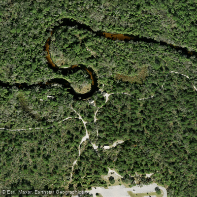
Boat Ramp
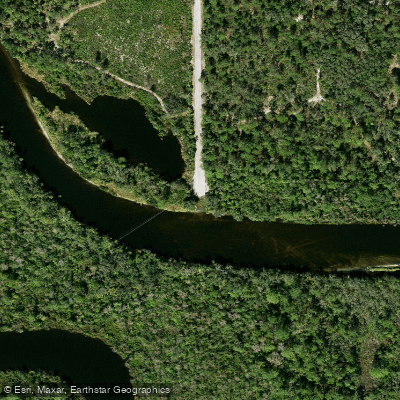
Boat Ramp
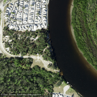
Boat Ramp
Showing 4 of 7 boat ramps.
Flows, weather and a route-by-route verdict, so you know which stretch of the Little Manatee River is worth paddling today.
All Flow Stations
Live flows, marked hazards and fresh trip reports from paddlers who were just on the water, all in one place.





Every user gets free access to launch points, boat ramps, and public property parcels.
Loading popular cities...
PaddleWays gives you everything you need to plan smarter, paddle better, and own every trip from first launch to takeout.





