Curated by PaddleWays
RouteFlatwater
- Distance
- 0.8 mi
- Paddle time
- ~0.5 hrs
- Best for
- Kayak, canoe
- Put-in → take-out
- Moultrie Creek Boat Ramp → Moultrie Bluffs - Lewis Point Park - Paddlecraft Access
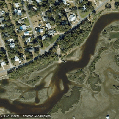
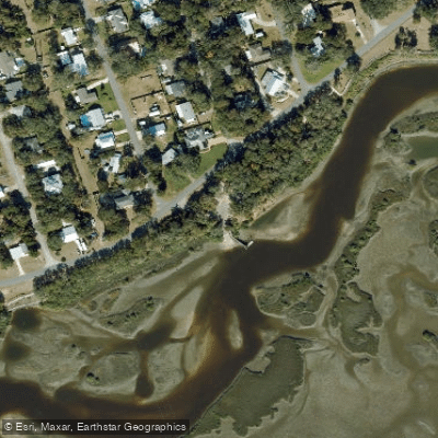
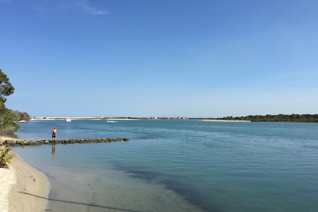
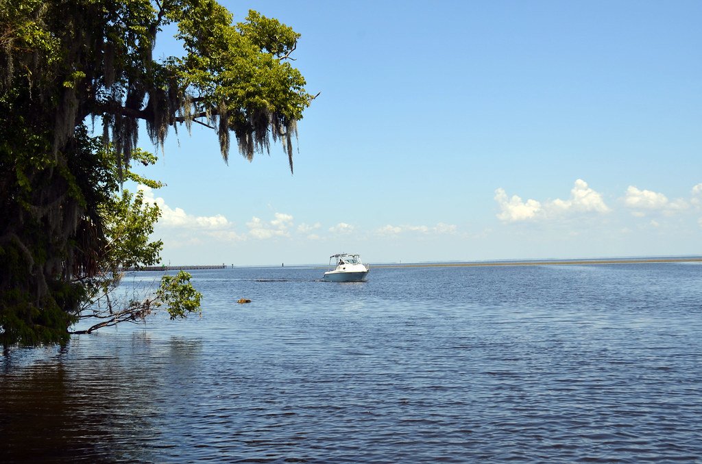
Large sandbar just west of US 1 bridge
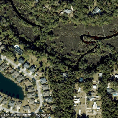
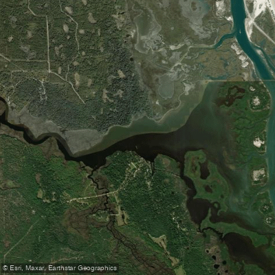
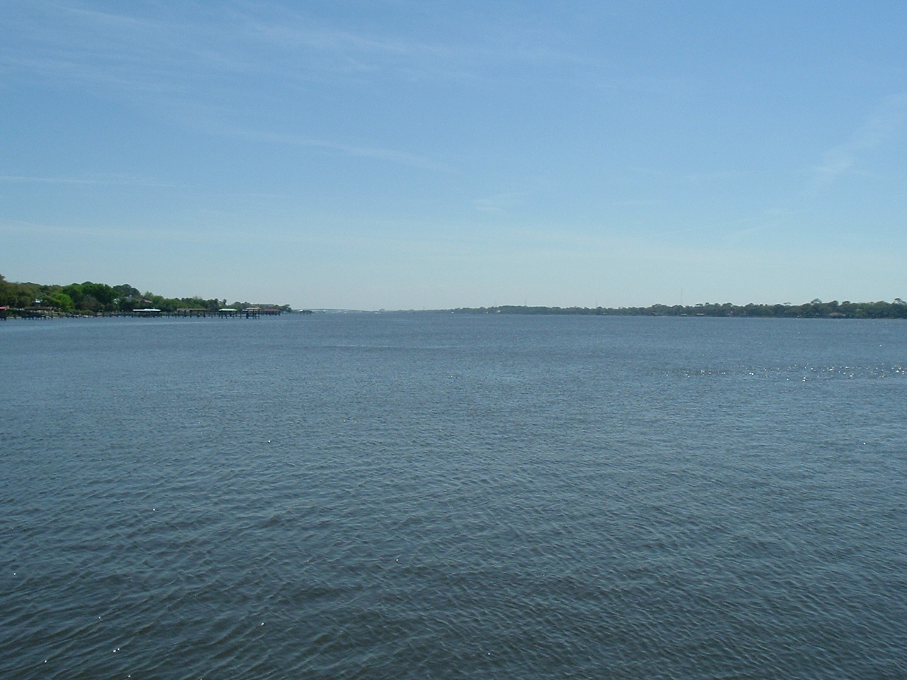
Moultrie Creek winds through the coastal marshlands of St. Johns County, Florida, flowing eastward from its inland origins to meet the Intracoastal Waterway south of historic St. Augustine. This tidal creek system meanders approximately 8-10 miles through a stunning saltwater marsh ecosystem, creating one of northeast Florida's most accessible and rewarding paddling destinations.
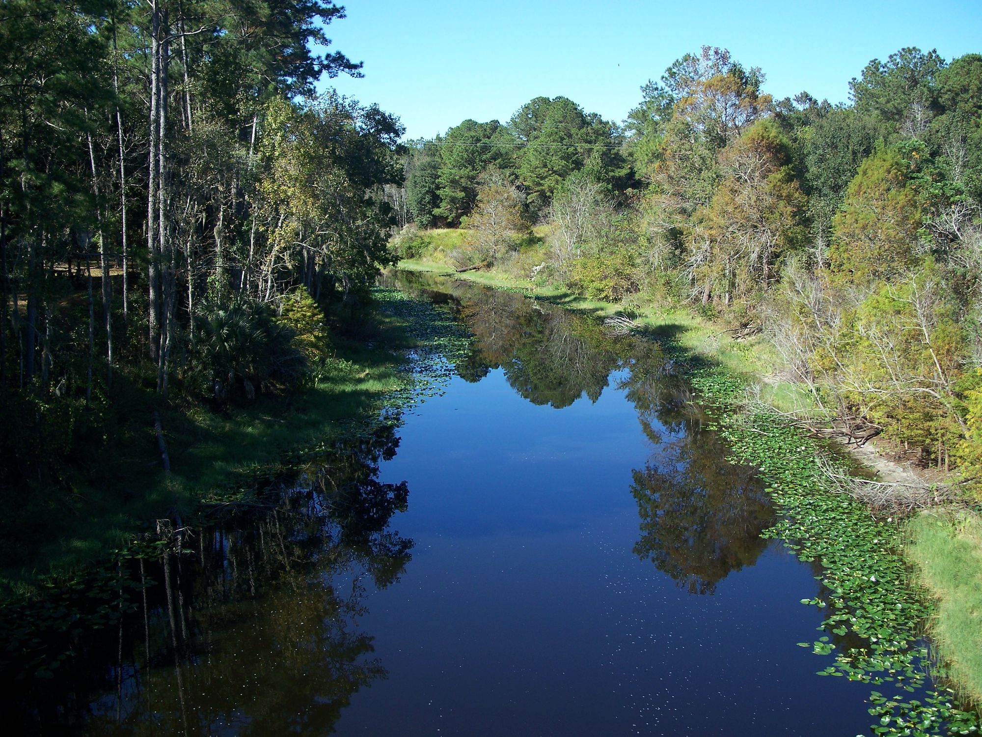
The creek's character transforms dramatically as it flows toward the coast. Upstream of the US Highway 1 bridge, paddlers encounter a canopy-covered waterway flanked by wooded bluffs and mud banks, while the downstream section opens into expansive marshlands dotted with abundant oyster beds. This transition creates distinct paddling experiences within a single waterway, from intimate creek passages to broad tidal flats.
Three primary paddling routes serve different skill levels and time commitments. The main 8.2-mile loop provides a comprehensive four-hour journey showcasing the creek's full character, while the shorter 7.3-mile Alligator Loop offers a more manageable alternative. Advanced paddlers can extend their adventure via an 8.2-mile route connecting to East Creek through the Intracoastal Waterway system. All sections require intermediate flatwater skills due to tidal influences and navigation challenges.
The creek's most significant hazard lies just west of the Highway 1 bridge, where a large sandbar creates potentially dangerous conditions depending on water levels. Optimal paddling occurs approximately two hours before high tide, when water levels provide safe passage while maintaining sufficient current flow.
Wildlife viewing opportunities abound throughout the system. American alligators frequent the waterway, with numerous visible beds along the shoreline. The marsh ecosystem supports diverse bird populations, while the mangrove-lined channels provide excellent fishing for mangrove snapper and redfish.
Shore Drive Park at 4805 Shore Drive serves as the primary access point, featuring a recently rehabilitated boat ramp with floating dock, ADA-accessible boardwalk, picnic facilities, and free parking. The park's location in St. Augustine Shores provides convenient access to this otherwise undeveloped waterway.
Moultrie Creek holds particular historical significance as the site of the 1823 Treaty of Moultrie Creek between the United States government and Seminole tribes. This treaty, negotiated near the creek's banks, established the first Seminole reservation in Florida, making the waterway an important landmark in Florida's territorial history.
St. Johns County Parks and Recreation regularly conducts guided tours highlighting both the natural ecosystem and historical importance of the creek. These programs, including specialized tours for military veterans, demonstrate the waterway's continued role in community recreation and education.
The creek's proximity to St. Augustine, combined with its protected status and reliable access, makes it an ideal introduction to Florida's coastal paddling opportunities while offering enough complexity to challenge experienced paddlers seeking wildlife encounters and historical exploration.
Curated routes
Hand-picked by the PaddleWays team, with put-ins, take-outs, paddle times and the hazards along the way.
RouteFlatwater
Hazards
No hazards are marked on Moultrie Creek yet. That is not the same as none being there: if you find one, report it for the next paddler.
From the community
Nobody has shared a trip on Moultrie Creek yet. Paddle it, then tell the next paddler how it went.
See exactly where the public can get on and off the river. Launch points and boat ramps are paired with PaddleWays' public land data so you know where you can legally land.
Public shoreline
8%of the river's shoreline is public
Most of the riverbank is private. Launch, land and camp only at public access points.
Flows, weather and a route-by-route verdict, so you know which stretch of the Moultrie Creek is worth paddling today.
No forecast data available.
Live flows, marked hazards and fresh trip reports from paddlers who were just on the water, all in one place.





Every user gets free access to launch points, boat ramps, and public property parcels.
Loading popular cities...
PaddleWays gives you everything you need to plan smarter, paddle better, and own every trip from first launch to takeout.