Waccasassa River
- Saltwater
- Tidal river
Waccasassa River
- Saltwater
- Tidal river
- Sq. miles
- 0.6
- Boat Ramps
- 0
- Access Points
- 0
- Campsites
- 1
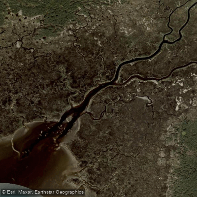
The Waccasassa River is a remote, tidal river on Florida's Gulf Coast, flowing through Levy County east of Cedar Key. The primary and most central launch point for paddlers is the Waccasassa River Park boat ramp at the western terminus of County Road 326, southwest of Gulf Hammock. This site provides a concrete ramp, parking, restrooms, and picnic tables. The river is approximately 29 miles long, but only a few miles are reliably navigable by paddlecraft. From the launch, paddlers face a choice. Heading downstream leads toward Waccasassa Bay and the Gulf of Mexico, a distance of about four miles. This estuarine section transitions from forested swamp to open salt marshes and eventually the open Gulf, where paddlers must navigate open waters to access the preserve's coastline. Heading upstream from the ramp offers a more sheltered, swamp-forest environment. Roughly two-thirds of a mile upstream, the river forks; the left branch continues as the Waccasassa River, while the right branch enters the spring-fed Wekiva River, a tributary.
Tidal influence is significant and is a primary factor for trip planning. The river has a slow current, but tides can change water levels by a foot or more over a few hours. Paddlers exploring the small creeks off the main channel must be cautious of getting stranded on an outgoing tide. As a general rule, tides run about two hours later on the upper sections of these tidal creeks compared to the open Gulf. The area is known for its isolation and lack of development, with no facilities or cell phone signal along the river. The scenery varies from the lower, swampy sections with cypress, red maples, and bay trees to higher, drier forests of oak, hickory, and pine upstream. The water is typically dark and tannin-stained from flowing through swamps like Devil's Hammock, though some spring-fed tributaries like the Wekiva can have clearer water upstream. Wildlife viewing is a highlight, with potential sightings of birds, alligators, deer, otters, and wild hogs. Motorboat traffic is minimal upstream of the launch, but the downstream route to the bay may see more activity. For multi-day trips, four primitive, first-come-first-served campsites are located within Waccasassa Bay Preserve State Park as part of the Florida Circumnavigational Saltwater Paddling Trail. Paddling here is considered moderate to difficult due to navigational challenges like log jams, downed trees, and narrow, twisting channels, especially further upstream.
Water access, boat ramps & amenities
Learn how to get on Waccasassa River. Uncover great paddling access points, boat ramps, and all the facilities you need for an unforgettable day on the water. Some locations shown may border or include private property. Always check property boundaries and applicable regulations before visiting. PaddleWays's Public & Private Land layer can help you plan your access with confidence.
Paddle smarter with real-time insights
Whether you're en route and conditions shift or you're looking for the best spot based on current flows, we enable you to make informed decisions on the fly.








Find Places to Paddle

Over 400,000 Places to Paddle
Every user gets free access to launch points, boat ramps, and public property parcels.


Tides, wind & water conditions (10 day forecast)
On open water, wind and tide matter as much as the weather. See the best times to paddle Waccasassa River and check the marine forecast before you launch.
Loading tide predictions…
Paddling near Waccasassa River
Lake Rousseau
Ocklawaha River
Saint Martins Reefs
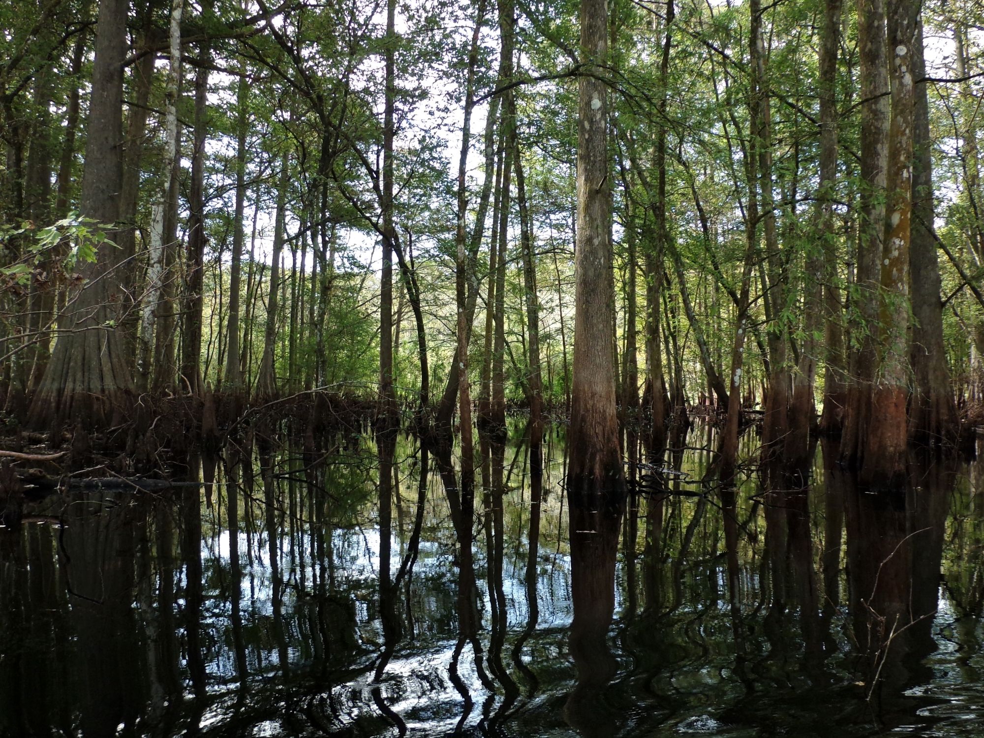
Withlacoochee River

Saint Johns River
Withlacoochee Bay
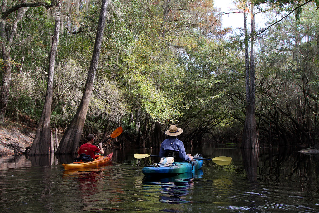
Santa Fe River
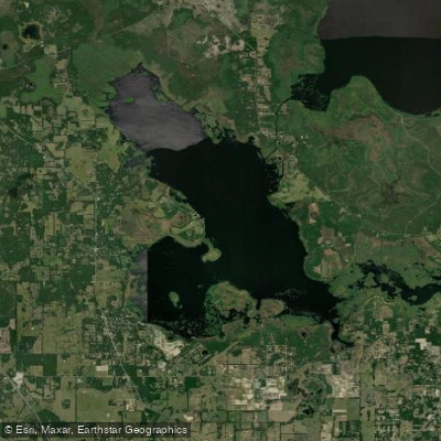
Orange Lake
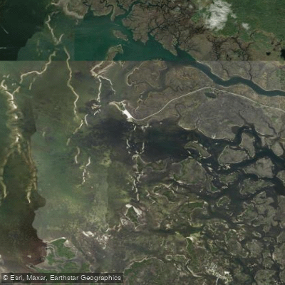
Crystal Bay
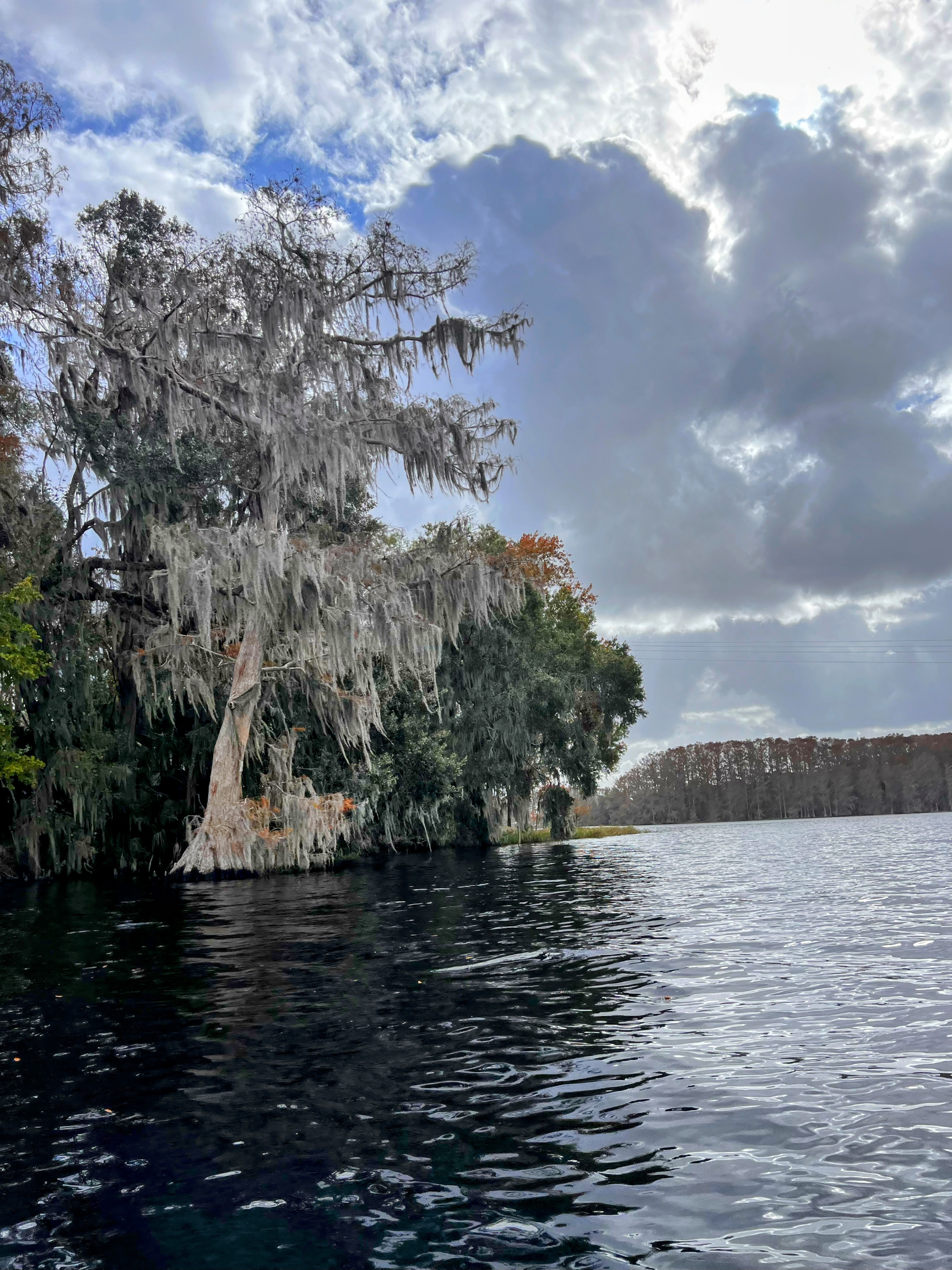
Tsala Apopka Lake
Explore Florida waters
Top paddling waters
Popular Cities
Loading popular cities...
Explore near Waccasassa River
Nearby waters
More in Florida

Smarter Paddling Starts in the App.
Paddleways gives you everything you need to plan smarter, paddle better, and own every trip from first launch to takeout.