Waccasassa Bay
- Saltwater
- Bay
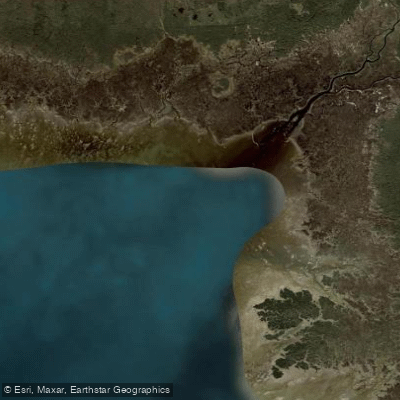
Waccasassa Bay
- Saltwater
- Bay
- Sq. miles
- 19
- Boat Ramps
- 0
- Access Points
- 0
- Campsites
- 1
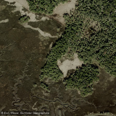
Waccasassa Bay is a large, shallow coastal bay and estuary on Florida's Nature Coast, forming where the Waccasassa River empties into the Gulf of Mexico. The bay is the aquatic core of the 19,000-acre Waccasassa Bay Preserve State Park, a vast and remote expanse of salt marshes, mangrove islands, and tidal creeks accessible only by watercraft. The paddling character is defined by open, calm saltwater flats and meandering channels through pristine marsh, offering a "real Florida" experience with significant exposure to wind and sun. There are no boat launches or facilities within the preserve itself. Primary access for paddlers is from the Waccasassa River Park boat ramp at the west end of County Road 326 near Gulf Hammock. This concrete ramp has restrooms, picnic tables, and parking, and is open from 8 a.m. to sunset. From this launch, it is approximately a four-mile paddle down the tidal Waccasassa River to reach the open waters of Waccasassa Bay. Alternative, more exposed launches are available in Yankeetown and from the shoreline of Cedar Key, but these require navigating open Gulf waters to reach the bay.
The entire area is tidal, with water levels fluctuating at least a foot. Paddlers using the Waccasassa River access must time their trip with the tides, as a strong outgoing current can make the return paddle upstream challenging. The bay itself is shallow and exposed, making wind a primary safety consideration. Fetch across the open water can build chop, though the area can provide a sheltered alternative when winds are strong on the open Gulf further offshore. The remote nature means there are no facilities, provisions, or reliable cellphone service once on the water. Four primitive, first-come-first-served campsites along the Florida Circumnavigational Saltwater Paddling Trail provide opportunities for multi-day trips. Wildlife is abundant, with notable bird populations including swallow-tailed kites that nest in the area each spring. The aesthetic is one of an undeveloped coastal wilderness, with palm-topped islands and extensive grass flats.
Water access, boat ramps & amenities
Learn how to get on Waccasassa Bay. Uncover great paddling access points, boat ramps, and all the facilities you need for an unforgettable day on the water. Some locations shown may border or include private property. Always check property boundaries and applicable regulations before visiting. PaddleWays's Public & Private Land layer can help you plan your access with confidence.
Paddle smarter with real-time insights
Whether you're en route and conditions shift or you're looking for the best spot based on current flows, we enable you to make informed decisions on the fly.








Find Places to Paddle

Over 400,000 Places to Paddle
Every user gets free access to launch points, boat ramps, and public property parcels.


Tides, wind & water conditions (10 day forecast)
On open water, wind and tide matter as much as the weather. See the best times to paddle Waccasassa Bay and check the marine forecast before you launch.
Loading tide predictions…
Paddling near Waccasassa Bay
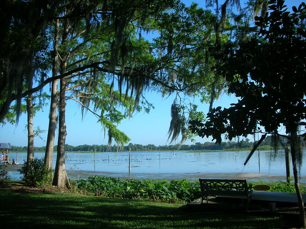
Lake Rousseau
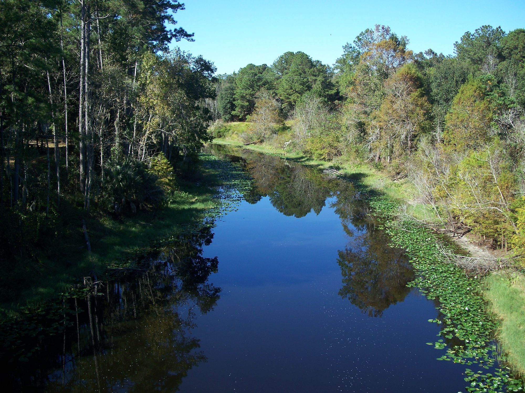
Ocklawaha River
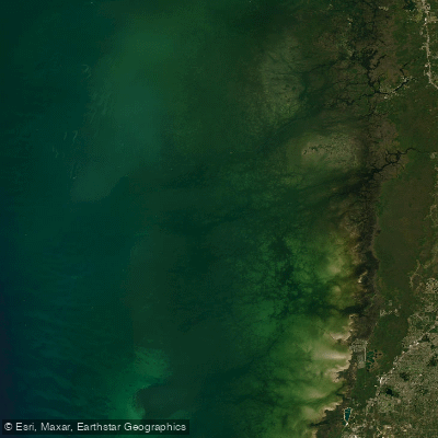
Saint Martins Reefs
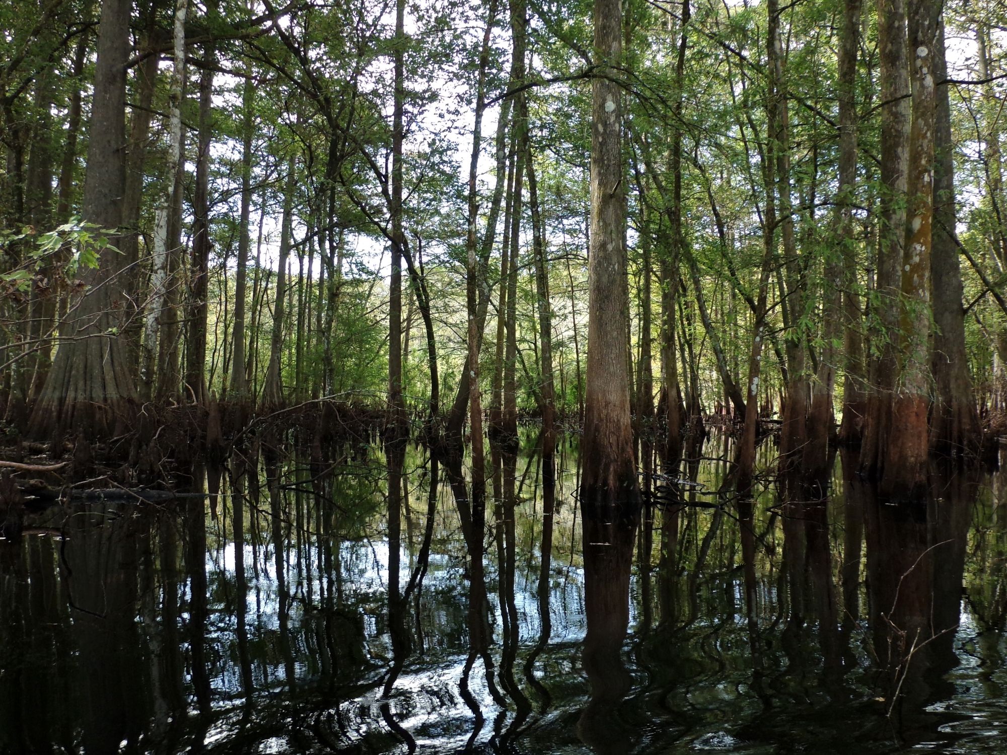
Withlacoochee River

Saint Johns River
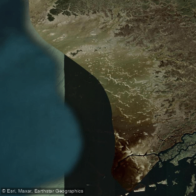
Withlacoochee Bay
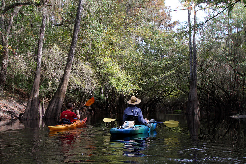
Santa Fe River
Orange Lake
Crystal Bay
Tsala Apopka Lake
Explore Florida waters
Top paddling waters
Popular Cities
Loading popular cities...
Explore near Waccasassa Bay

Smarter Paddling Starts in the App.
Paddleways gives you everything you need to plan smarter, paddle better, and own every trip from first launch to takeout.