Curated by PaddleWays
RouteFlatwater
- Distance
- 1.4 mi
- Paddle time
- ~0.5 hrs
- Best for
- Kayak, canoe
- Put-in → take-out
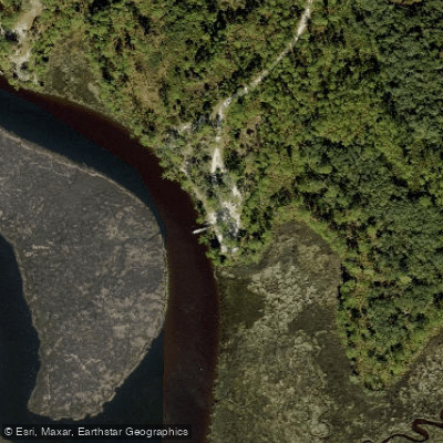
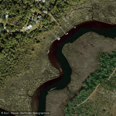
- Faver-Dykes State Park Boat Ramp → Princess Place Preserve - Paddlecraft Access
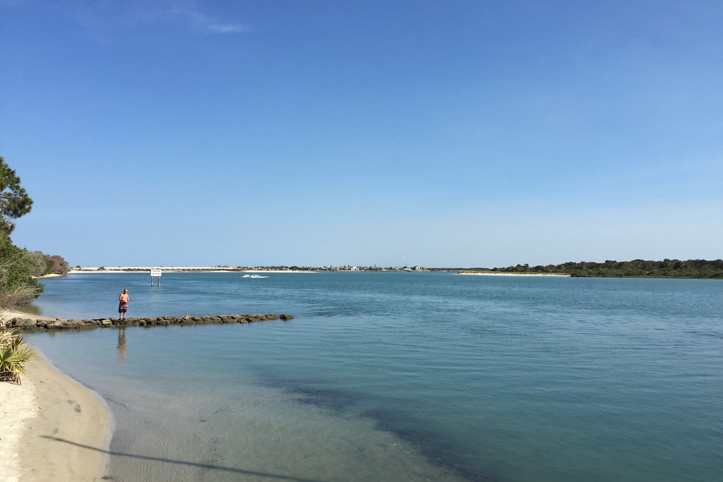
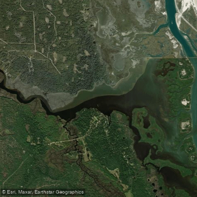
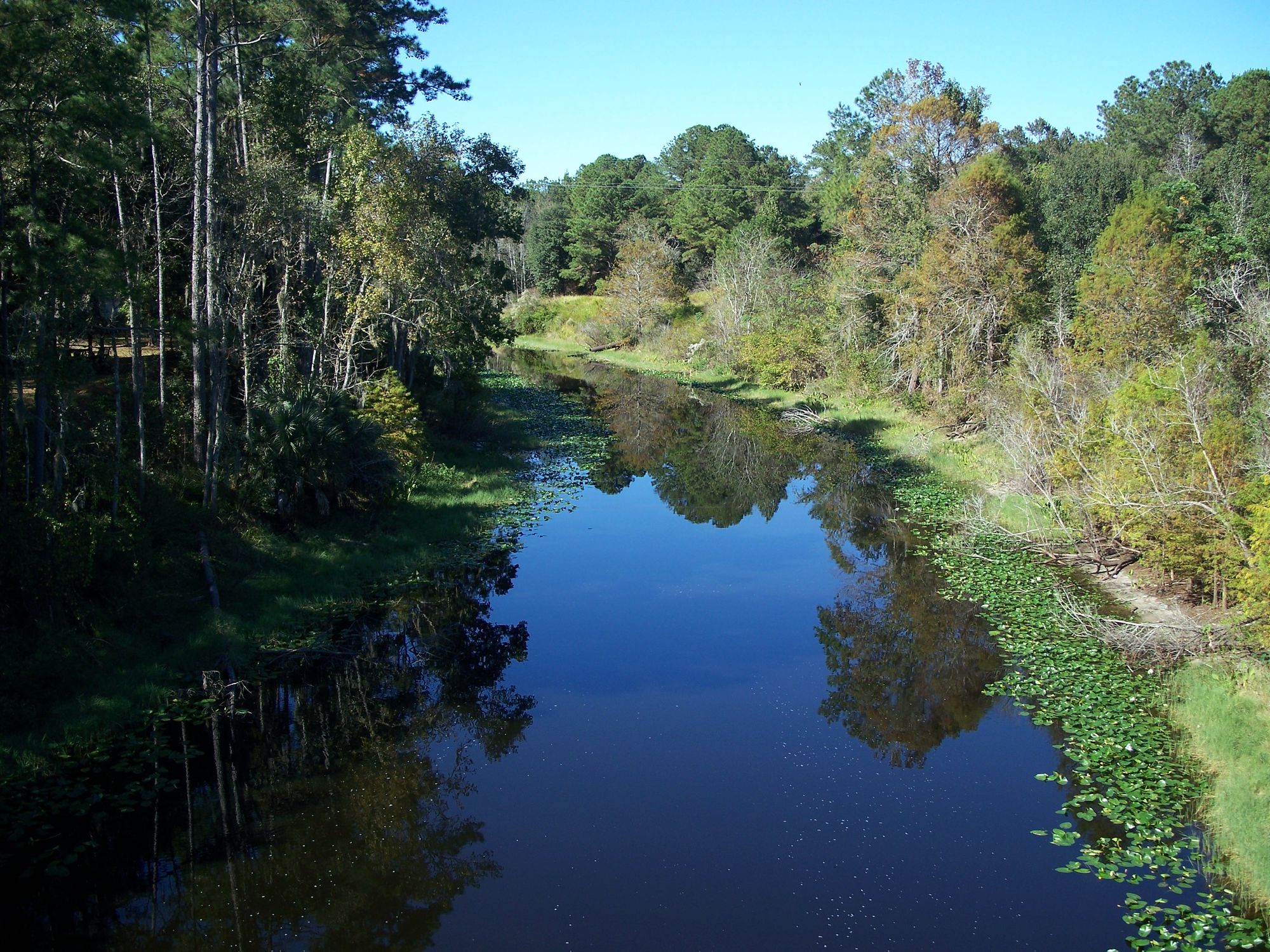
Pellicer Creek flows approximately 6 miles through northeast Florida's Flagler County, originating from freshwater swamps west of Interstate 95 and meandering eastward to its confluence with the Matanzas River. This blackwater creek serves as the natural boundary between St. Johns and Flagler counties, carving through some of Florida's most pristine estuarine marshlands just 15 miles south of St. Augustine. The creek's character transforms dramatically along its journey, beginning as a narrow, jungle-like waterway in freshwater swamps before transitioning through brackish marshes and ultimately opening into tidal flats near the Matanzas River. West of US Highway 1, Cracker Creek enters as the primary tributary, offering additional exploration opportunities for paddlers seeking more intimate waterways.
Pellicer Creek supports five distinct paddling sections totaling over 14 miles of navigable waterways. The centerpiece is the 3.5-mile Florida Designated Paddling Trail connecting Faver-Dykes State Park to Princess Place Preserve, recognized as part of the 1,515-mile Florida Circumnavigation Paddling Trail. Upstream exploration from Faver-Dykes offers a 6.5-mile roundtrip journey through progressively narrowing channels, while downstream paddling leads to the expansive Pellicer Flats and Matanzas River system. Difficulty ranges from easy flatwater suitable for beginners to moderately challenging conditions when wind and tide combine in the lower sections. The creek maintains depths of 2-6 feet throughout most sections, though tidal influence requires careful trip planning. Paddling against outgoing tides upstream and returning with favorable currents provides the most comfortable experience.
The Pellicer Creek Aquatic Preserve protects one of Florida's east coast's most pristine estuarine systems, supporting over 100 documented bird species including bald eagles, great blue herons, and colorful wading birds. Wildlife encounters regularly include alligators, manatees, river otters, and abundant saltwater and freshwater fish populations. The transitioning salinity levels create diverse habitats from freshwater plants upstream to salt-tolerant mangroves near the river mouth.
Primary access points include Faver-Dykes State Park, offering full facilities with camping, boat ramps, and equipment rentals, and Princess Place Preserve, featuring historical structures and educational opportunities. Both locations provide canoe and kayak rentals, restrooms, and ample parking.
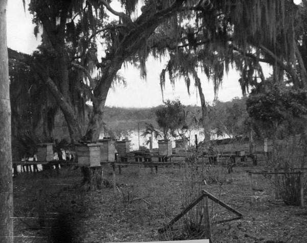
The creek bears the name of Francisco Pellicer, an early Spanish plantation owner whose legacy reflects the area's rich colonial history. Princess Place Preserve showcases this heritage through preserved structures and interpretive programs.
Safety considerations include tidal awareness, sun exposure in open marsh sections, and wildlife respect protocols. The creek's connection to the Intracoastal Waterway means tidal timing significantly impacts paddling difficulty. Most sections accommodate day trips, though the system's diverse character and multiple access points allow for varied multi-section explorations spanning several days when combined with area camping facilities.
Curated routes
Hand-picked by the PaddleWays team, with put-ins, take-outs, paddle times and the hazards along the way.
RouteFlatwater
Hazards
No hazards are marked on Pellicer Creek yet. That is not the same as none being there: if you find one, report it for the next paddler.
From the community
Nobody has shared a trip on Pellicer Creek yet. Paddle it, then tell the next paddler how it went.
See exactly where the public can get on and off the river. Launch points and boat ramps are paired with PaddleWays' public land data so you know where you can legally land.
Public shoreline
14%of the river's shoreline is public
Most of the riverbank is private. Launch, land and camp only at public access points.
Flows, weather and a route-by-route verdict, so you know which stretch of the Pellicer Creek is worth paddling today.
Live flows, marked hazards and fresh trip reports from paddlers who were just on the water, all in one place.





Every user gets free access to launch points, boat ramps, and public property parcels.
Loading popular cities...
PaddleWays gives you everything you need to plan smarter, paddle better, and own every trip from first launch to takeout.