Curated by PaddleWays
RouteFlatwater
- Distance
- 0.8 mi
- Paddle time
- ~0.5 hrs
- Put-in → take-out
- Curry Creek Preserve (West) Kayak Access → Nokomis Community Park Canoe/Kayak Launch
Shallow areas and boat traffic
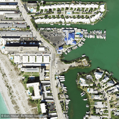
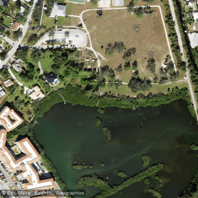
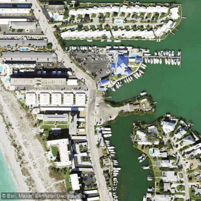
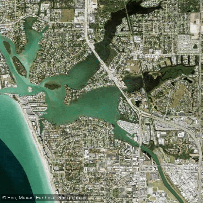
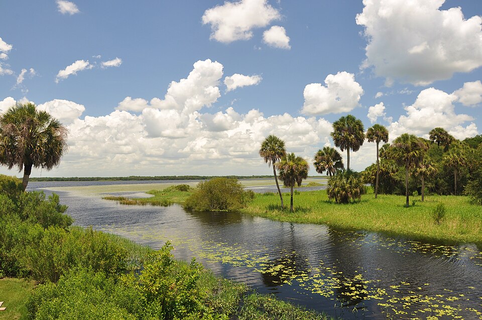
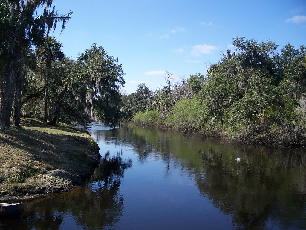
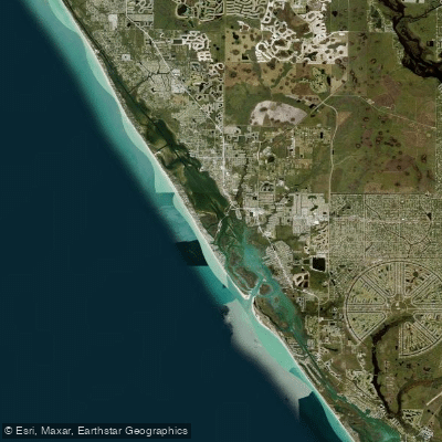
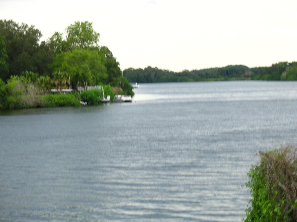
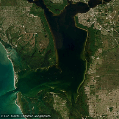
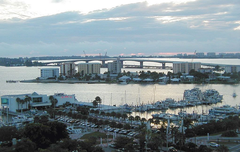
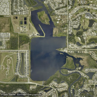
Roberts Bay is a coastal saltwater bay located near Sarasota and Venice, Florida, USA. It is a tranquil, quieter paddling destination compared to busier local waterways, offering stunning views and a more rugged, old Florida aesthetic with untouched areas nearly void of tourists. The bay connects to Little Sarasota Bay and the Gulf of Mexico via a narrow strip of water. As an open bay, it is exposed to strong coastal winds that can push paddlers off course and create choppy waves influenced by daily weather. Heavy wakes from passing motorized boats and jet skis traveling from nearby Venice or Nokomis are a significant hazard, making the paddling experience more of a workout and potentially intimidating for beginners or families. A primary public access point for paddlers is Higel Marine Park, which features a public boat ramp and a free kayak launch suitable for kayaking and paddleboarding. The Sarasota County Blueways Paddling Guide also references a Dona Bay/Roberts Bay trail system, indicating established routes. Paddlers can expect potential sightings of dolphins and manatees in these waters. The area is subject to tidal influence, and exploring at low tide is a common activity, though paddlers should plan accordingly for changing water levels. There has been local controversy regarding the construction of additional kayak launch facilities, with some residents concerned about ecological impacts, but existing launches remain available.
Curated routes
Hand-picked by the PaddleWays team, with put-ins, take-outs, paddle times and the hazards along the way.
RouteFlatwater
Hazards
No hazards are marked on Roberts Bay yet. That is not the same as none being there: if you find one, report it for the next paddler.
From the community
Nobody has shared a trip on Roberts Bay yet. Paddle it, then tell the next paddler how it went.
Where to get on and off Roberts Bay: launch points, boat ramps and bridges.
On open water, wind and tide matter as much as the weather. See the best times to paddle Roberts Bay and check the marine forecast before you launch.
Loading tide predictions…
Live flows, marked hazards and fresh trip reports from paddlers who were just on the water, all in one place.





Every user gets free access to launch points, boat ramps, and public property parcels.
Loading popular cities...
PaddleWays gives you everything you need to plan smarter, paddle better, and own every trip from first launch to takeout.