Curated by PaddleWays
RouteFlatwater
- Distance
- 0.1 mi
- Paddle time
- ~0.5 hrs
- Put-in & take-out
- Quietwater Beach Boat Launch (Small Boats or PWC Only)
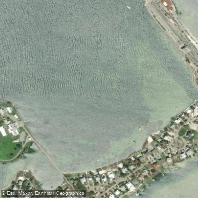
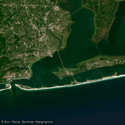
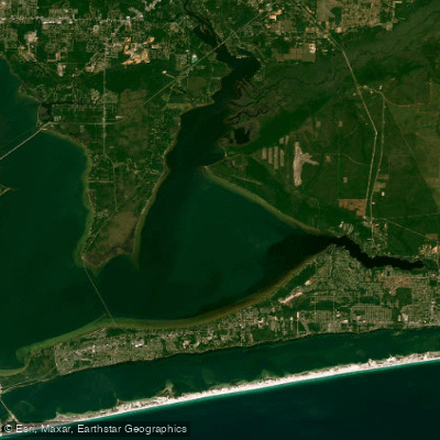
Sabine Inlet is a coastal slough located on Santa Rosa Island, near Pensacola Beach in Florida. It is a saltwater feature connected to the larger Pensacola Bay system, with coordinates at approximately 30.3393665°N, -87.148579°W. The inlet is situated near Little Sabine Bay, with its entrance facing the sheltered waters of the Santa Rosa Sound side of the barrier island, not the open Gulf of Mexico. This location generally offers protection from direct Gulf surf, but paddlers should be aware of wind-driven waves and boat traffic within the sound. A primary access point for paddlers is via Sabine Drive, a quiet residential road that leads to a point with views of the inlet. This suggests a potential launch site for kayaks or paddleboards, though specific ramp facilities are not detailed. The area is characterized by a low-lying coastal environment with an approximate elevation of three feet.
The inlet's connection to Pensacola Bay means tidal currents are a significant factor for paddlers. Planning a trip should involve consulting local tide charts for the Pensacola area to coordinate paddling with favorable current flow. The surrounding area is developed for residential and recreational use, as indicated by the mention of nice homes along Sabine Drive. Paddling here offers a quiet, scenic experience close to the amenities of Pensacola Beach, including the multi-use Pensacola Beach Trail. The water body is part of an active marine environment, and paddlers should expect shared use with powerboats, particularly near the inlet's connection to the sound. There is a known dredging project for the adjacent Lafitte Cove, with a designated upland discharge site south of the Pensacola Beach Water Towers on the east side of the Little Sabine Inlet, indicating ongoing coastal management that paddlers may encounter.
Curated routes
Hand-picked by the PaddleWays team, with put-ins, take-outs, paddle times and the hazards along the way.
RouteFlatwater
Hazards
No hazards are marked on Sabine Inlet yet. That is not the same as none being there: if you find one, report it for the next paddler.
From the community
Nobody has shared a trip on Sabine Inlet yet. Paddle it, then tell the next paddler how it went.
On open water, wind and tide matter as much as the weather. See the best times to paddle Sabine Inlet and check the marine forecast before you launch.
Loading tide predictions…
Live flows, marked hazards and fresh trip reports from paddlers who were just on the water, all in one place.





Every user gets free access to launch points, boat ramps, and public property parcels.
Loading popular cities...
PaddleWays gives you everything you need to plan smarter, paddle better, and own every trip from first launch to takeout.





