Saint Lucie River - North Fork
- Saltwater
- Tidal river
Saint Lucie River - North Fork
- Saltwater
- Tidal river
- Sq. miles
- 1.6
- Boat Ramps
- 1
- Access Points
- 0
- Campsites
- 3
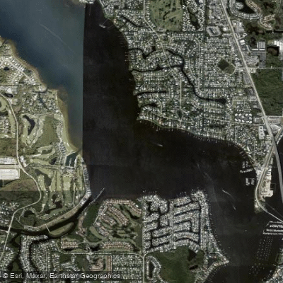
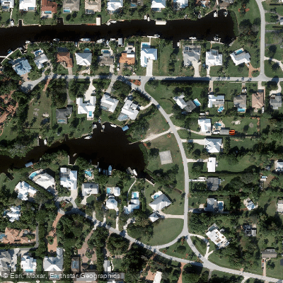
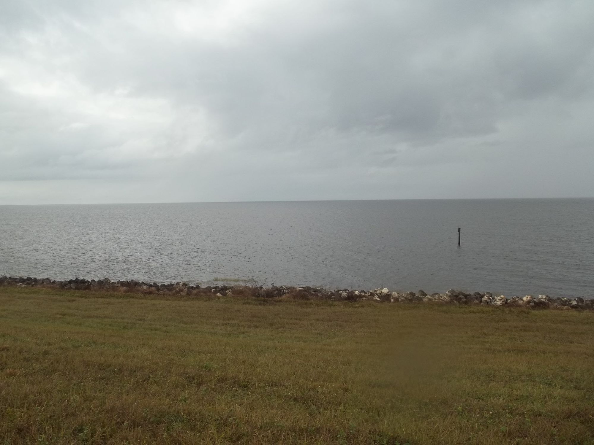
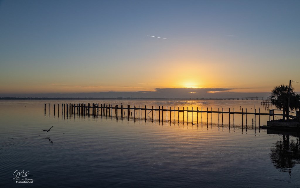
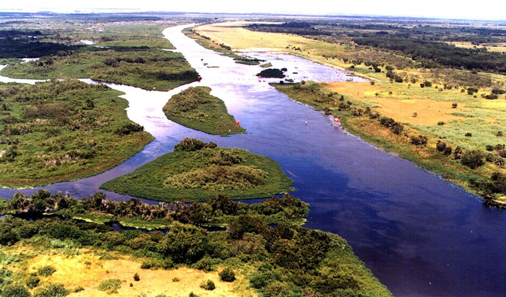
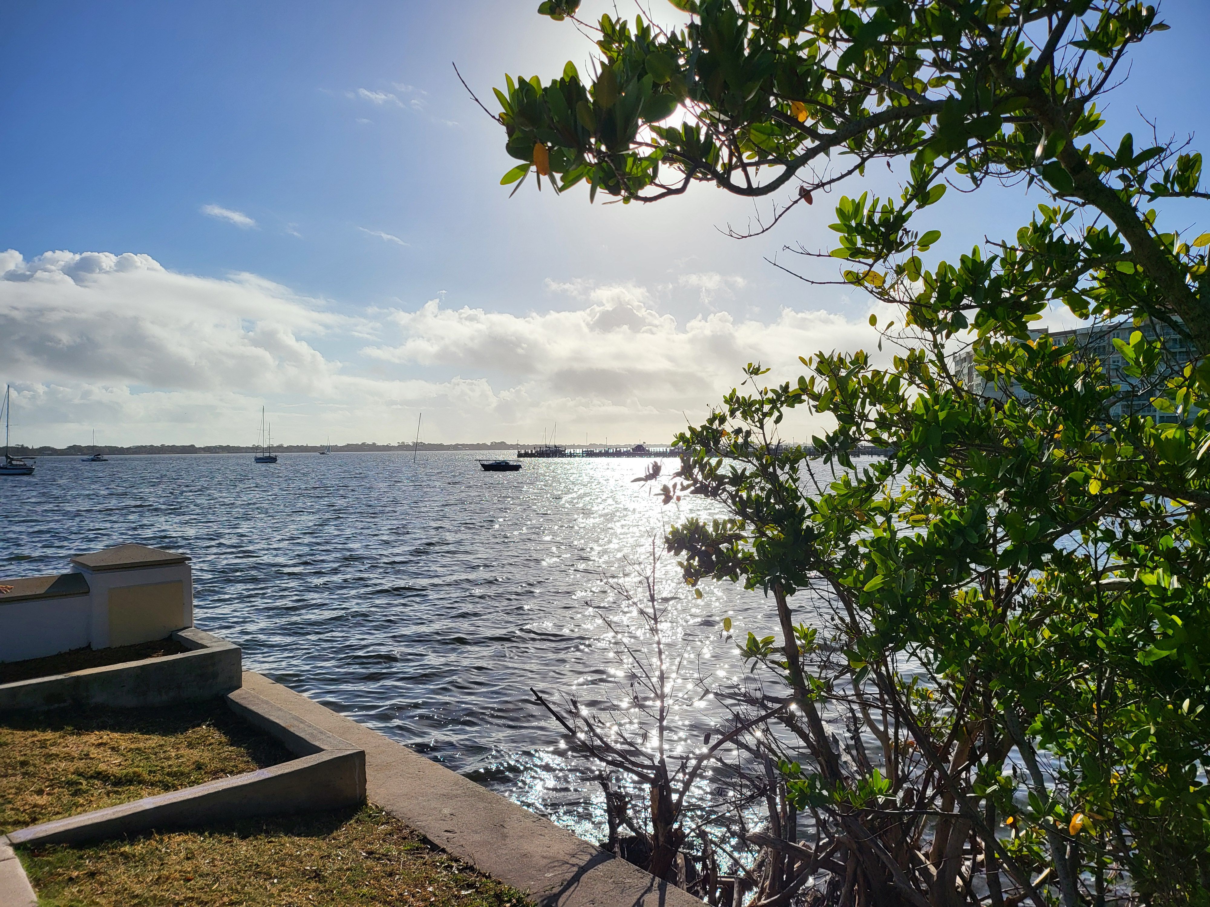
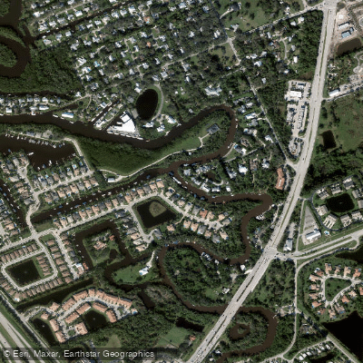
The Saint Lucie River - North Fork is a tidal river in St. Lucie County, Florida, offering a coastal paddling environment. A primary public access point for paddlers is Veterans Memorial Park in Port Saint Lucie, located at 2200 SE Midport Road. This facility provides a three-lane concrete boat ramp with both launch and staging docks, available 24 hours a day. Parking includes 33 spaces and ADA-accessible restrooms. As a tidal river, paddlers must plan for the influence of tides on current strength and direction; timing a trip to paddle with the tide is recommended for ease, especially on longer excursions. The river sees motorized boat traffic, as indicated by the presence of a multi-lane public boat ramp, so paddlers should remain aware, particularly when crossing or navigating near the main channel. Wildlife encounters, including alligators, are a feature along the river's banks. The water body is classified as a stream for monitoring purposes, and its connection to the broader Intracoastal Waterway system suggests potential for extended routes. The overall character is that of a developed Florida waterway with convenient infrastructure, where paddlers share the space with powerboats and can observe local fauna amidst the mangrove-lined shores.
Water access, boat ramps & amenities
Learn how to get on Saint Lucie River - North Fork. Uncover great paddling access points, boat ramps, and all the facilities you need for an unforgettable day on the water. Some locations shown may border or include private property. Always check property boundaries and applicable regulations before visiting. PaddleWays's Public & Private Land layer can help you plan your access with confidence.
Paddle smarter with real-time insights
Whether you're en route and conditions shift or you're looking for the best spot based on current flows, we enable you to make informed decisions on the fly.








Find Places to Paddle

Over 400,000 Places to Paddle
Every user gets free access to launch points, boat ramps, and public property parcels.


Tides, wind & water conditions (10 day forecast)
On open water, wind and tide matter as much as the weather. See the best times to paddle Saint Lucie River - North Fork and check the marine forecast before you launch.
Loading tide predictions…
Paddling near Saint Lucie River - North Fork
Explore Florida waters
Top paddling waters
Popular Cities
Loading popular cities...
Explore near Saint Lucie River - North Fork
Access points
Nearby waters
More in Florida

Smarter Paddling Starts in the App.
Paddleways gives you everything you need to plan smarter, paddle better, and own every trip from first launch to takeout.