Cumberland Sound
- Saltwater
- Sound
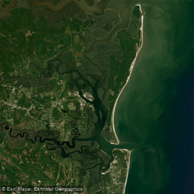
Cumberland Sound
- Saltwater
- Sound
- Sq. miles
- 27
- Boat Ramps
- 0
- Access Points
- 0
- Campsites
- 8
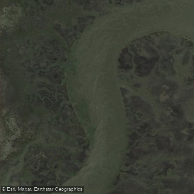
Cumberland Sound is a coastal sound and major tidal channel forming the border between Georgia and Florida, separating Amelia Island from Cumberland Island. It is a dynamic saltwater environment characterized by powerful tidal currents, significant wind exposure, and substantial boat traffic, including large vessels and occasional nuclear submarines from the nearby Kings Bay Naval Submarine Base. The sound is considered ACA Level 3 coastal kayaking and is suitable only for experienced paddlers equipped with proper sea kayaks featuring bulkheads, deck rigging, and spray skirts. The primary paddling objective is crossing to Cumberland Island National Seashore, with several launch points available. The most direct but potentially treacherous route is the approximately one-mile crossing from the north end of Amelia Island, specifically from Fort Clinch State Park, to the southern beach of Cumberland Island. This route exposes paddlers to the full force of the sound's conditions, including fast currents, open coastal winds, and a busy navigation channel marked by a large light tower. A longer, calmer alternative is launching from Crooked River State Park in Georgia, paddling east down Fancy Bluff Creek to cross the sound and proceed up the Brickhill River to access the island's central or northern sections. A third option is launching from St. Marys, Georgia. Tidal planning is critical for all routes. Currents are swift, reported to move paddlers up to 8 mph when favorable, and paddling against them is nearly impossible. For trips from Crooked River, paddlers typically launch at high tide to ride the ebb flow to the island and begin the return after low tide to ride the flood back. For the Amelia Island crossing, guided trips schedule departures with incoming tides. The sound's fetch allows for the development of substantial waves, especially with afternoon winds. Hazards include sharp, submerged oyster bars throughout the sound-side waters, which are exposed at low tide and can damage kayaks. Low tide also drains interior marsh creeks, potentially stranding paddlers in mud. Wildlife sightings commonly include dolphins, manatees, sea turtles, eagle rays, and the famous wild horses on Cumberland Island. Paddlers must pay the National Park entry fee for Cumberland Island and secure permits in advance for any overnight kayak camping at designated island docks or campgrounds.
Water access, boat ramps & amenities
Learn how to get on Cumberland Sound. Uncover great paddling access points, boat ramps, and all the facilities you need for an unforgettable day on the water. Some locations shown may border or include private property. Always check property boundaries and applicable regulations before visiting. PaddleWays's Public & Private Land layer can help you plan your access with confidence.
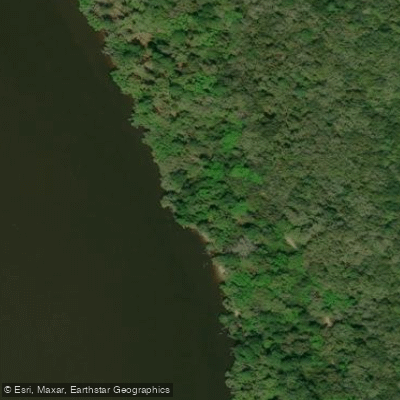
Brickhill Bluff Campground
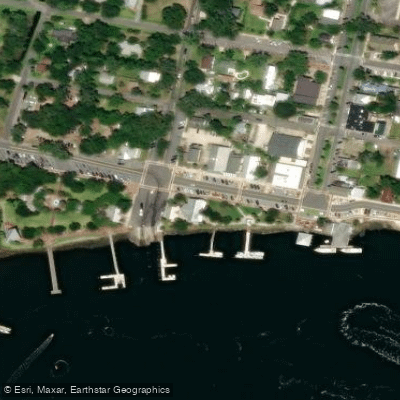
Cumberland Island National Seashore Campground
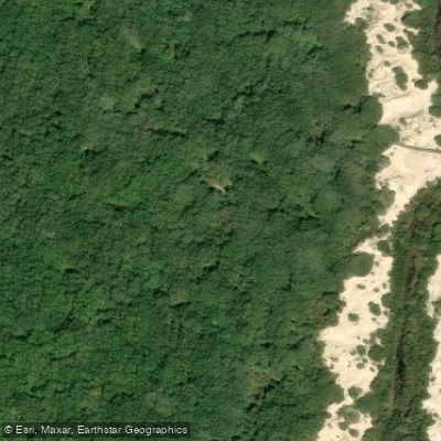
Sea Camp Beach
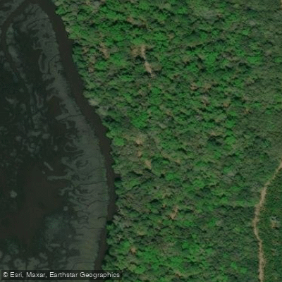
Black Point - Grover’s Island Overlook Campground
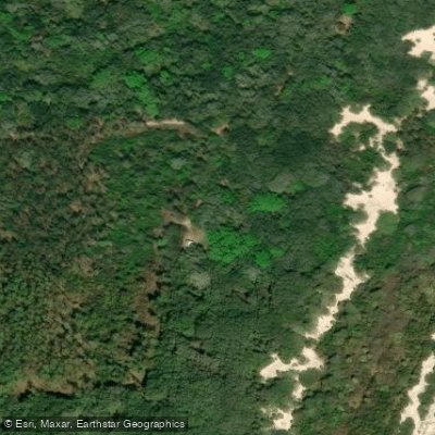
Stafford Campground
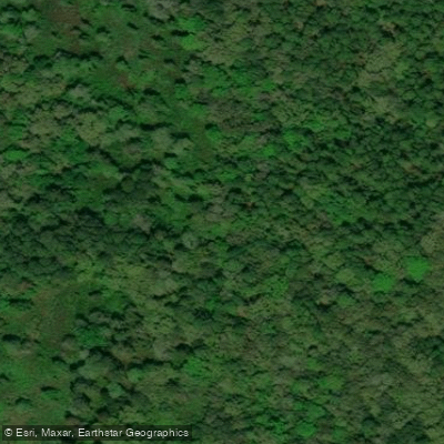
Yankee Paradise Campground
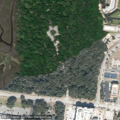
Fort Clinch State Park Campground
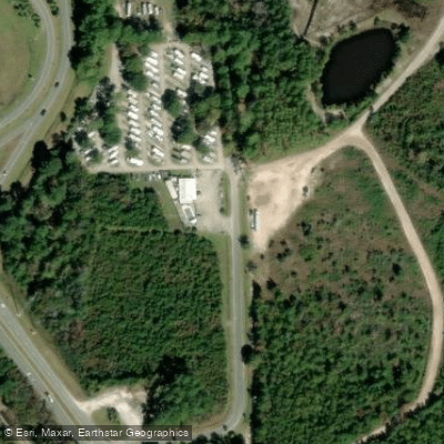
Hance's First In Florida Rv Park Campground
Paddle smarter with real-time insights
Whether you're en route and conditions shift or you're looking for the best spot based on current flows, we enable you to make informed decisions on the fly.








Find Places to Paddle

Over 400,000 Places to Paddle
Every user gets free access to launch points, boat ramps, and public property parcels.


Tides, wind & water conditions (10 day forecast)
On open water, wind and tide matter as much as the weather. See the best times to paddle Cumberland Sound and check the marine forecast before you launch.
Loading tide predictions…
Paddling near Cumberland Sound

Saint Johns River
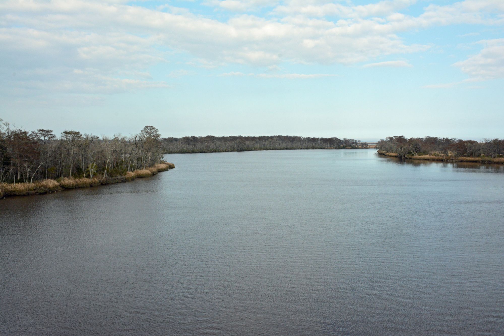
Altamaha River
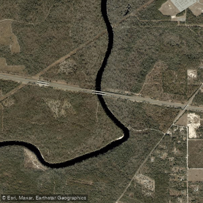
Suwannee River
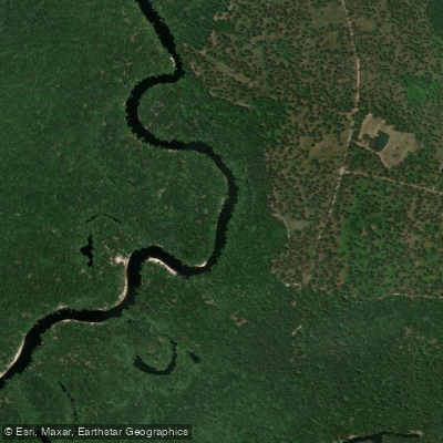
Saint Marys River
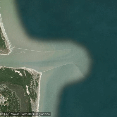
Saint Marys Entrance
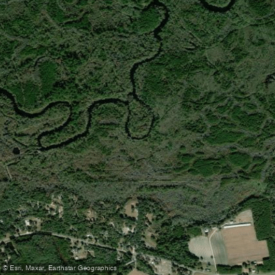
Satilla River
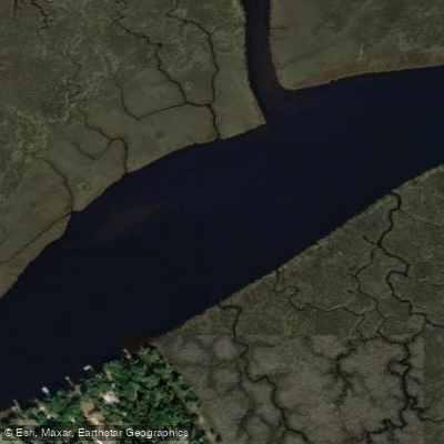
Nassau River
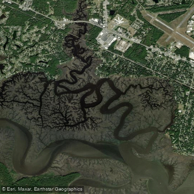
Burrells Creek
Crooked River
Explore Florida waters
Top paddling waters
Popular Cities
Loading popular cities...
Explore near Cumberland Sound
Access points
Nearby waters
More in Florida

Smarter Paddling Starts in the App.
Paddleways gives you everything you need to plan smarter, paddle better, and own every trip from first launch to takeout.