Satilla River
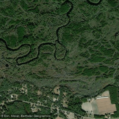
Satilla River
- Boat Ramps
- 11
- Access Points
- 11
- Campsites
- 1
The Satilla River, a hidden gem in southeast Georgia, offers paddlers a serene journey through some of the state's most pristine natural landscapes. This blackwater river winds its way for approximately 200 miles through the coastal plain, with the Satilla River Water Trail covering a 140-mile stretch from Jamestown to Woodbine.
Known for its peaceful, undeveloped shorelines, the Satilla provides an ideal escape for nature enthusiasts and paddlers of various skill levels. The river's difficulty is primarily flatwater, making it suitable for families and beginners, though water levels can significantly impact paddling conditions. With 11 access points along the Water Trail, paddlers can easily customize their trip length to suit their preferences and abilities.
The Satilla's flow and depth vary dramatically throughout the year, influenced by seasonal rainfall patterns. During the dry summer months, water levels typically range from 2 to 5 feet deep, while the rainy fall and winter seasons can see depths increase to 15 feet or more. The average flow rate is around 700 cubic feet per second (CFS), but it can fluctuate between 30 CFS in dry periods to a whopping 16,000 CFS during wet seasons.
Spring is particularly enchanting on the Satilla, with wild azaleas lining the banks and creating a colorful spectacle for paddlers. The river's ecosystem supports a diverse array of flora and fauna, offering excellent wildlife viewing opportunities. Birdwatchers and nature photographers will find plenty to capture along the quiet, winding path of the Satilla.
For those seeking a multi-day adventure, the annual "Spring on the Satilla" event (sometimes rescheduled to September) provides a unique opportunity to explore the river's hidden creeks and sloughs. This organized trip includes two nights of camping at the private Satilla Lodge and allows participants to immerse themselves in the river's natural beauty while supporting conservation efforts through a fundraising canoe-a-thon.
The Satilla is not only a paddler's paradise but also a renowned destination for sportfishing. Both the freshwater sections and the estuary offer excellent opportunities for anglers looking to test their skills against a variety of fish species. Key access points along the river include Jamestown, where the Water Trail begins, and Woodbine, where it ends. These towns, along with others dotting the river's course, provide convenient launch sites and opportunities to resupply during longer trips.
While the Satilla offers a generally peaceful paddling experience, it's essential for visitors to be aware of changing water conditions and to plan accordingly. Checking current flow rates and weather forecasts before embarking on a trip is advisable, as is carrying appropriate safety equipment.
The Satilla River stands as a testament to Georgia's natural beauty, offering a paddling experience that combines adventure, tranquility, and a deep connection to the unspoiled wilderness of the coastal plain. Whether you're planning a short day trip or an extended journey, the Satilla promises a memorable experience on one of Georgia's most cherished waterways.
Water access, boat ramps & amenities
Learn how to get on Satilla River. Uncover great paddling access points, boat ramps, and all the facilities you need for an unforgettable day on the water. Some locations shown may border or include private property. Always check property boundaries and applicable regulations before visiting. PaddleWays's Public & Private Land layer can help you plan your access with confidence.
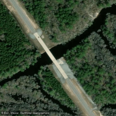
Hwy 158
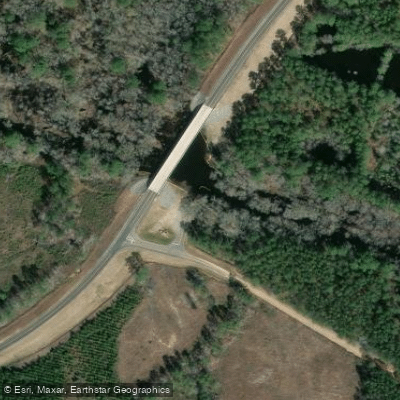
Atkinson County Landing Boat Ramp
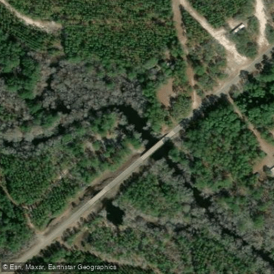
Axson Boat Ramp
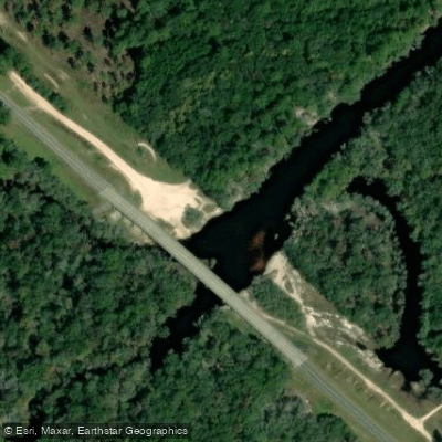
State Highway 121 Boat Ramp
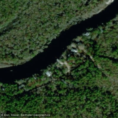
Warners Landing Boat Ramp
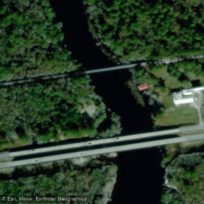
Ava Strickland Lightsey Park Boat Ramp
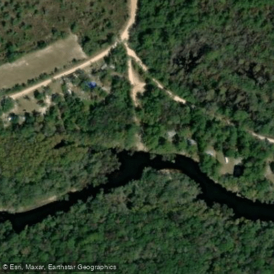
FFA Landing Boat Ramp
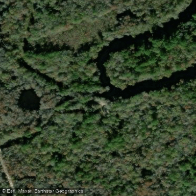
Herrin Lake Boat Ramp
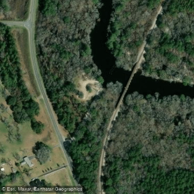
Waycross Boat Ramp
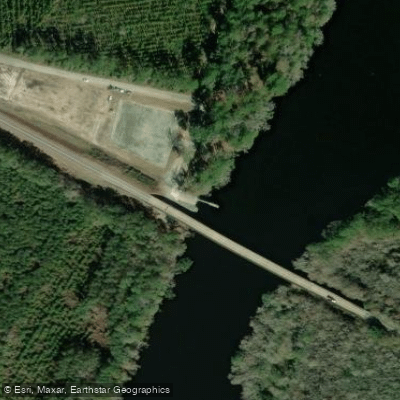
Burnt Fort Boat Ramp
Paddle smarter with real-time insights
Whether you're en route and conditions shift or you're looking for the best spot based on current flows, we enable you to make informed decisions on the fly.








Find Places to Paddle

Over 400,000 Places to Paddle
Every user gets free access to launch points, boat ramps, and public property parcels.


Water and weather conditions (10 day forecast)
See the best times to paddle Satilla River and check the forecast before you go.
SATILLA RIVER NEAR WAYCROSS, GA
All Flow Stations
Paddling near Satilla River
Suwannee River

Saint Johns River
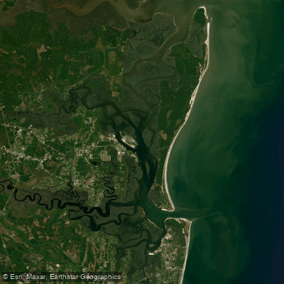
Cumberland Sound
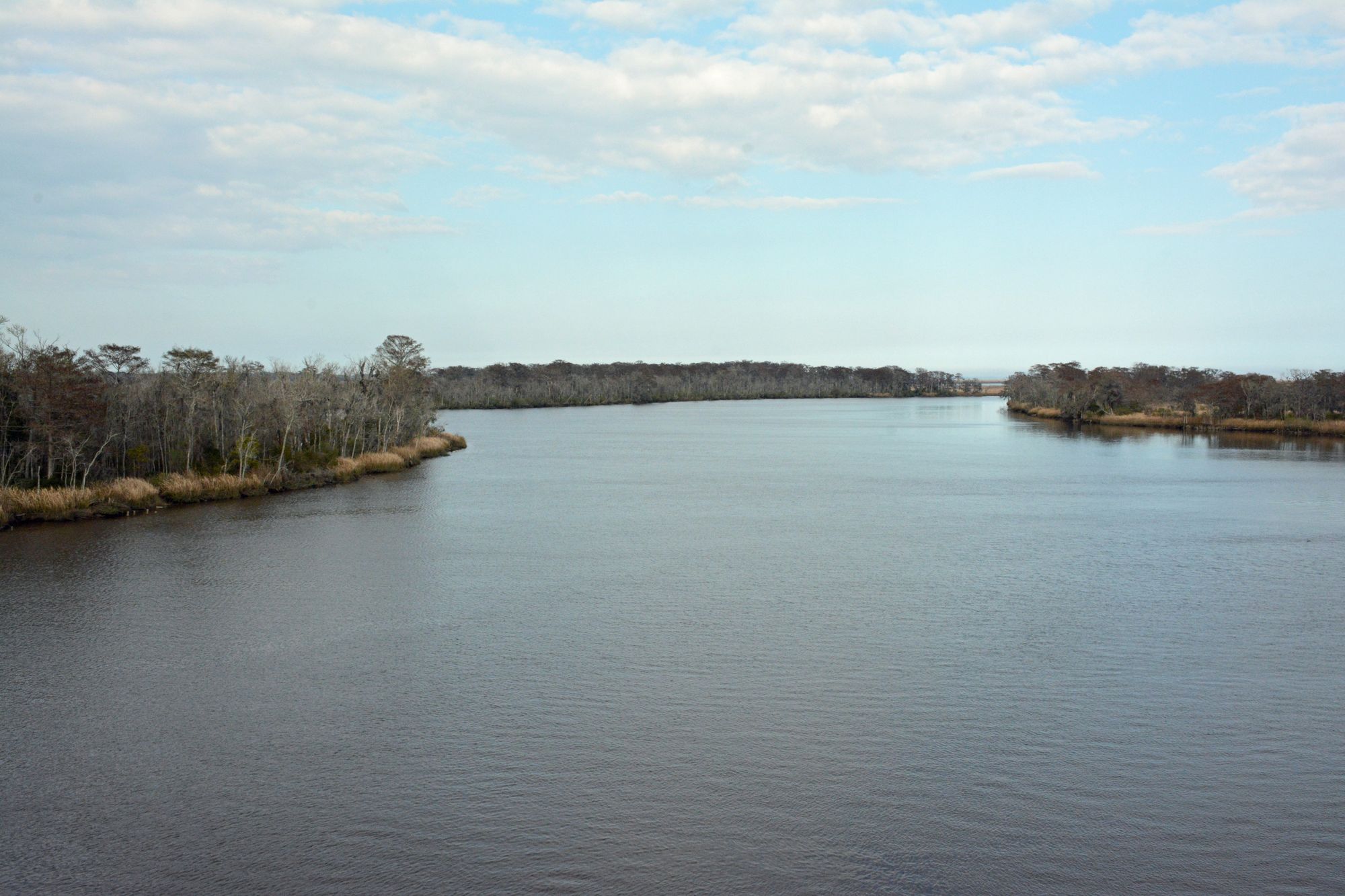
Altamaha River
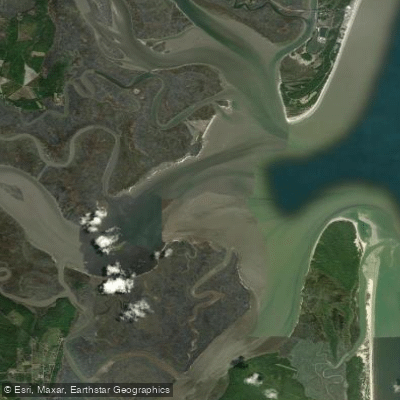
Saint Andrew Sound
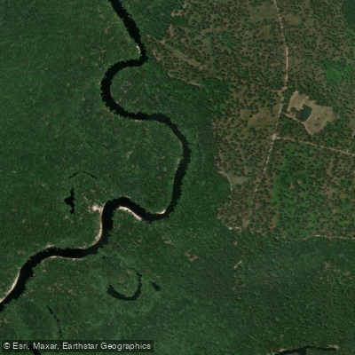
Saint Marys River
Billys Lake
Jekyll Sound
Perch Lake
Explore Georgia waters
Top paddling waters
Popular Cities
Loading popular cities...
Explore near Satilla River
Access points
Nearby waters
More in Georgia

Smarter Paddling Starts in the App.
Paddleways gives you everything you need to plan smarter, paddle better, and own every trip from first launch to takeout.