Altamaha River
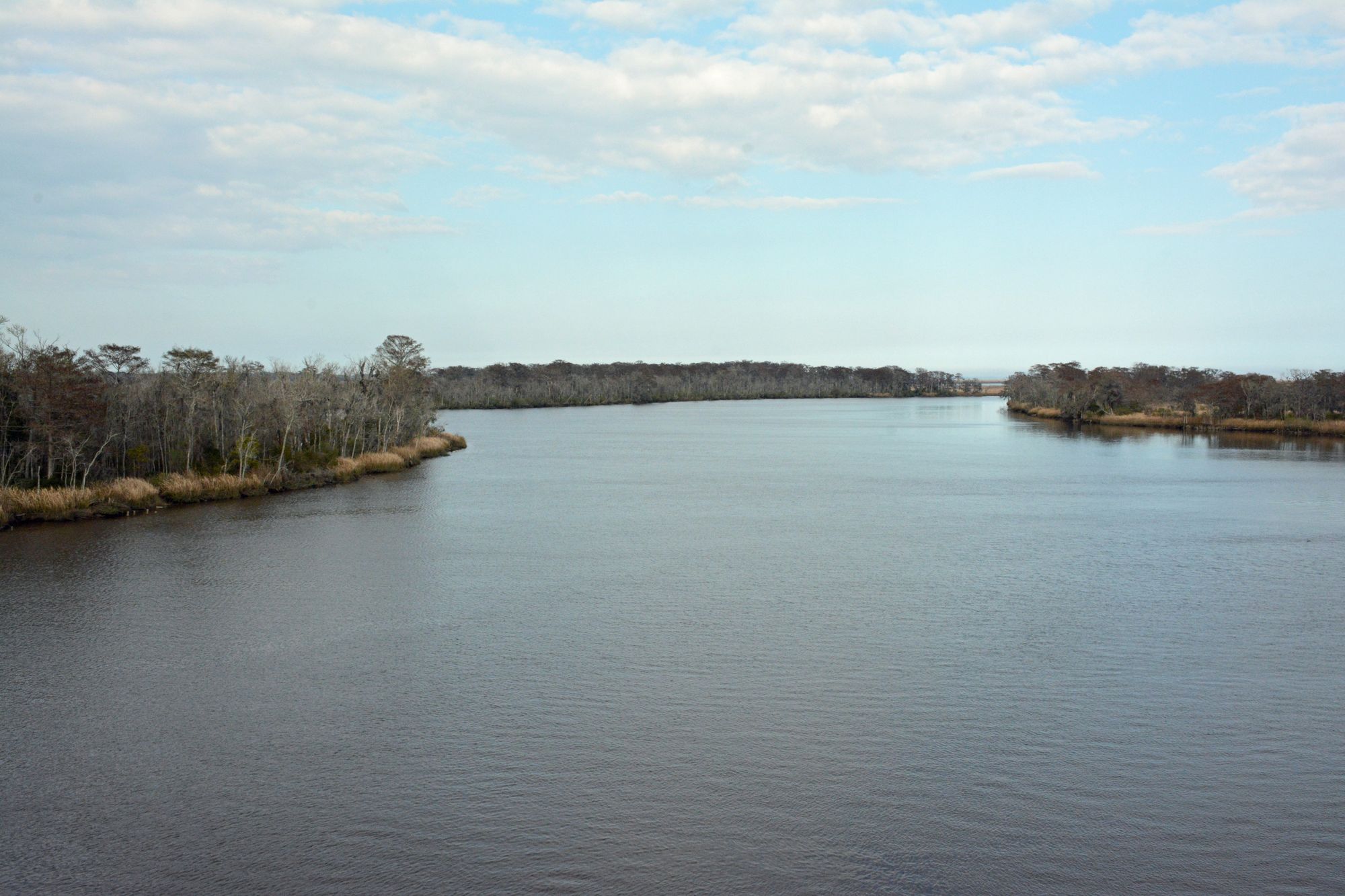
Altamaha River
- Boat Ramps
- 11
- Access Points
- 11
- Campsites
- 15
The Altamaha River, often referred to as Georgia's "Little Amazon," is a magnificent waterway that flows through the heart of southeastern Georgia. Formed by the confluence of the Ocmulgee and Oconee rivers, this mighty river stretches approximately 140 miles before emptying into the Atlantic Ocean near Darien. As Georgia's largest river system, the Altamaha offers paddlers a diverse and captivating journey through some of the state's most pristine natural environments.
The Altamaha presents a range of paddling opportunities suitable for various skill levels, with most sections characterized by flatwater conditions. The river's upper reaches provide a more intimate paddling experience, while the lower sections near the coast offer expansive views and tidal influences. Popular sections include the Lewis Island Cypress Grove, known for its ancient cypress trees, and the Altamaha River Delta, which showcases the river's transition into coastal marshlands.
While the Altamaha is generally suitable for paddlers of all skill levels, those venturing into tidal areas should be aware of changing water conditions and plan accordingly. The river is paddleable year-round, but spring and fall offer the most comfortable temperatures and stunning scenery. Summer can be hot and humid, while winter provides solitude but requires proper cold-weather gear.
The river's ecosystem is remarkably diverse, supporting a wide array of flora and fauna. Paddlers may encounter alligators, various bird species including the endangered Swallow-tailed Kite, and an abundance of fish. The river is flanked by cypress swamps, tupelo forests, and vast stretches of tidal marshes, creating a haven for wildlife and a visual feast for nature enthusiasts.
Notable landmarks along the Altamaha include Lewis Island, home to some of the oldest trees east of the Mississippi, with one cypress believed to be 1,300 years old. The Rifle Cut, a narrow man-made canal dug in the 1820s, offers a unique paddling experience through a stunning cypress swamp. Butler Island and the expansive Altamaha River Delta provide excellent opportunities for exploring the river's coastal habitats.
Access points are available at various locations along the river, with popular put-ins at Altamaha Regional Park near Everett and take-outs in Darien. The river passes through or near several small towns, offering opportunities for resupply and exploration of local culture.
Historically, the Altamaha played a crucial role in Georgia's development, serving as a major transportation route for timber and agricultural products. Today, it stands as a testament to conservation efforts, with large portions of the river and surrounding lands protected within the Altamaha River Bioreserve.
Safety considerations include being aware of tidal influences in the lower sections, watching for submerged logs or snags, and respecting wildlife. Paddlers should always check weather forecasts and be prepared for changing conditions. For those seeking a multi-day adventure, the full 140-mile journey from the river's formation to the Atlantic Ocean is a popular option, typically taking about 7 days for experienced paddlers. The annual Paddle Georgia event offers a guided 107-mile, 7-day trip that showcases the best of the Altamaha and its tributaries.
Whether you're looking for a short day trip or an extended wilderness experience, the Altamaha River offers a paddling adventure that captures the essence of Georgia's natural beauty and rich ecological diversity.
Water access, boat ramps & amenities
Learn how to get on Altamaha River. Uncover great paddling access points, boat ramps, and all the facilities you need for an unforgettable day on the water. Some locations shown may border or include private property. Always check property boundaries and applicable regulations before visiting. PaddleWays's Public & Private Land layer can help you plan your access with confidence.
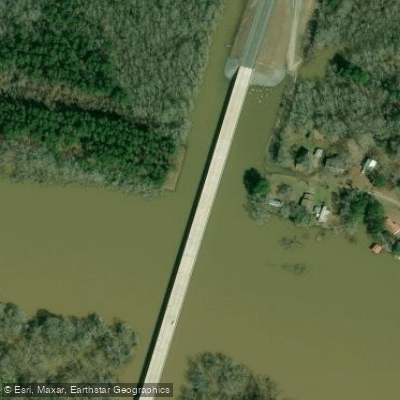
State Highway 135 Boat Ramp
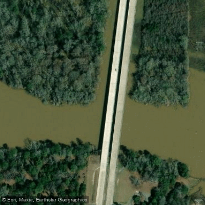
US Highway 1 Boat Ramp
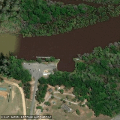
Jaycee Landing Boat Ramp
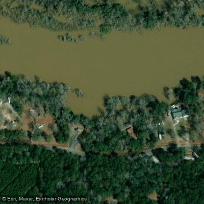
Deen's Landing Boat Ramp
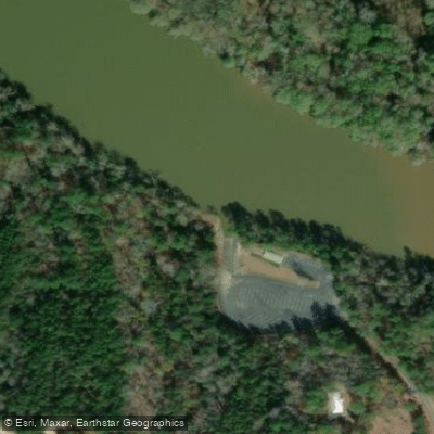
Upper Wayne County Landing Boat Ramp
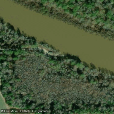
Oglethorpe Bluff Landing Boat Ramp
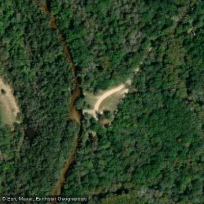
Big Hammock Boat Ramp
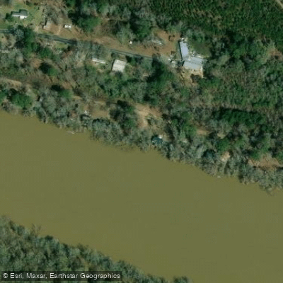
McNatt Falls Boat Ramp
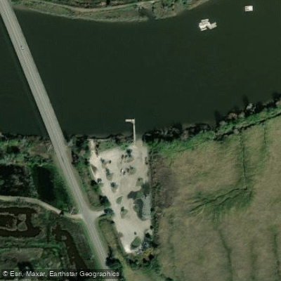
Champney River Boat Ramp
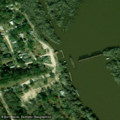
Altamaha Regional Park Boat Ramp
Paddle smarter with real-time insights
Whether you're en route and conditions shift or you're looking for the best spot based on current flows, we enable you to make informed decisions on the fly.








Find Places to Paddle

Over 400,000 Places to Paddle
Every user gets free access to launch points, boat ramps, and public property parcels.


Water and weather conditions (10 day forecast)
See the best times to paddle Altamaha River and check the forecast before you go.
ALTAMAHA RIVER NEAR BAXLEY, GA
All Flow Stations
Paddling near Altamaha River

Savannah River
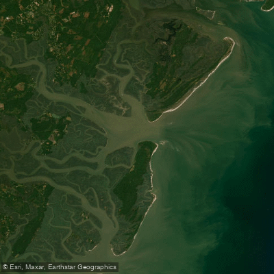
Saint Catherines Sound
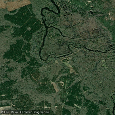
Ogeechee River
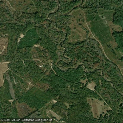
Canoochee River
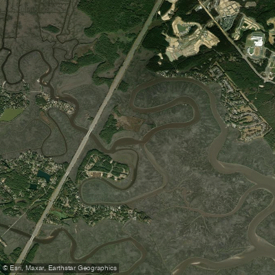
Jerico River
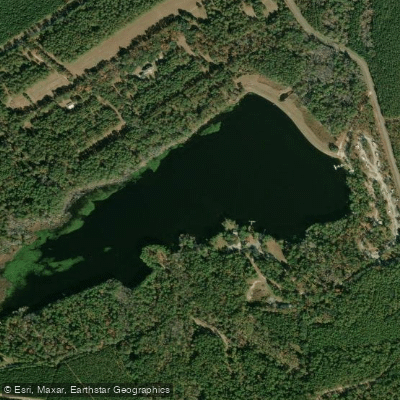
Sands Pond
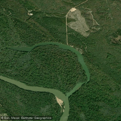
Hughes Old River
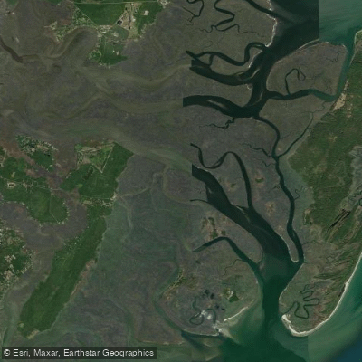
South Newport River
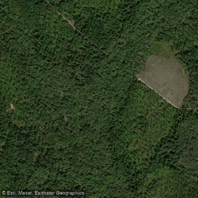
Canoochee Creek
Explore Georgia waters
Top paddling waters
Popular Cities
Loading popular cities...
Explore near Altamaha River
Access points
- State Highway 135 Boat Ramp
- US Highway 1 Boat Ramp
- Jaycee Landing Boat Ramp
- Deen's Landing Boat Ramp
- Upper Wayne County Landing Boat Ramp
- Oglethorpe Bluff Landing Boat Ramp
- Big Hammock Boat Ramp
- McNatt Falls Boat Ramp
- Champney River Boat Ramp
- Altamaha Regional Park Boat Ramp
- Morris Landing Boat Ramp
- Altamaha River Bridge
- All 89 spots
Nearby waters
More in Georgia

Smarter Paddling Starts in the App.
Paddleways gives you everything you need to plan smarter, paddle better, and own every trip from first launch to takeout.