Curated by PaddleWays
RouteFlatwater
- Distance
- 1.4 mi
- Paddle time
- ~0.5 hrs
- Best for
- Kayak, canoe, SUP
- Put-in → take-out
- Anastasia State Park Access → J. Cox Recreation Facility Boat Ramp
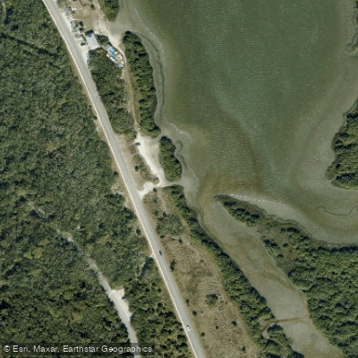
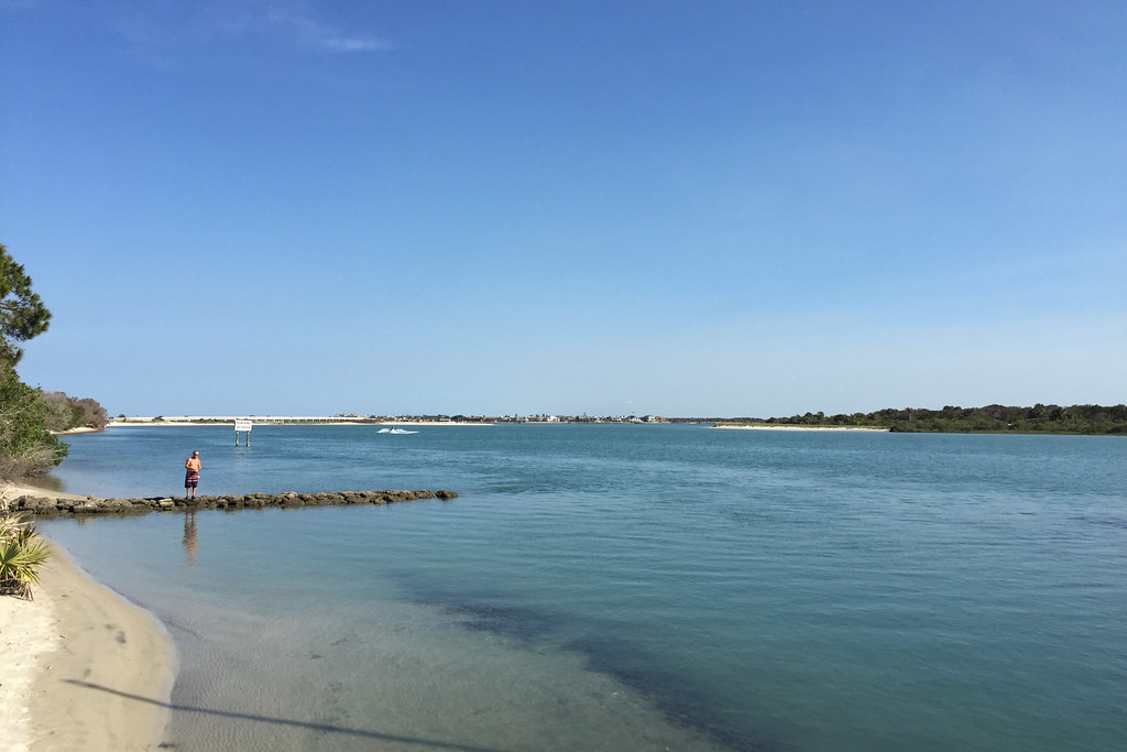
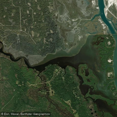
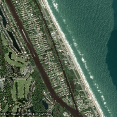
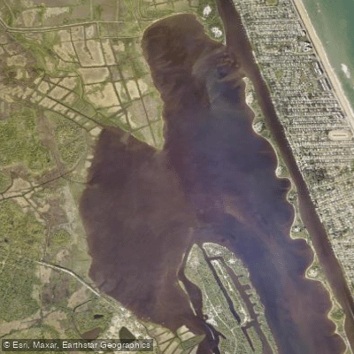
Salt Run in Florida represents a pristine 3.5-mile tidal lagoon system located in St. Augustine, flowing between Anastasia Island and Conch Island just south of the St. Augustine Inlet. This estuarine waterway originates near St. Augustine Bay and extends southward through Anastasia State Park, terminating at protective sand dunes that separate it from the Atlantic Ocean. The lagoon operates as a protected no-wake zone, creating exceptionally calm paddling conditions ideal for wildlife observation and photography.
The paddling experience centers around a single primary section launching from the Lighthouse Boat Ramp near the iconic St. Augustine Lighthouse. Most guided tours and rental excursions cover approximately 1.5 miles of the lagoon, though adventurous paddlers can explore the full 3.5-mile system. The waterway maintains consistent flatwater conditions suitable for beginners, with depths ranging from shallow flats along the eastern banks to 15-20 feet in central channels.
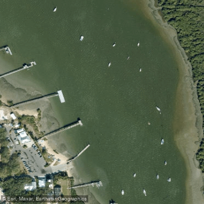
Salt Run's appeal lies in its extraordinary wildlife density. The lagoon serves as critical habitat for bottlenose dolphins, West Indian manatees, juvenile sea turtles, various shark species, and roseate spoonbills. The eastern shoreline features extensive grass beds and oyster bar structures, while the western bank includes some residential development and docking facilities, though most areas remain undeveloped.
Year-round paddling conditions make Salt Run accessible in all seasons, with the protected location providing shelter from ocean swells and strong winds. The tidal nature of the system creates varying water levels throughout the day, though the shallow depths rarely present navigation challenges. The St. Augustine Lighthouse serves as the primary landmark, towering dramatically over the launch area and providing both historical context and navigational reference. The lagoon's proximity to historic St. Augustine adds cultural significance, as this waterway has supported indigenous populations and European settlers for centuries.
Access centers on the Lighthouse Boat Ramp off A1A, offering ample parking, restroom facilities, and nearby dining options. Anastasia Watersports within Anastasia State Park provides comprehensive rental services for kayaks, canoes, paddleboards, and small sailboats. The urban proximity means paddlers can easily combine water activities with exploration of St. Augustine's historic attractions.
Safety considerations include awareness of boat traffic from nearby marinas, respect for wildlife viewing distances, and attention to tidal conditions. The no-wake zone designation and generally protected waters minimize most paddling hazards, making this an ideal location for families and novice paddlers seeking a high-quality Florida coastal experience.
Curated routes
Hand-picked by the PaddleWays team, with put-ins, take-outs, paddle times and the hazards along the way.
RouteFlatwater
Hazards
No hazards are marked on Salt Run yet. That is not the same as none being there: if you find one, report it for the next paddler.
From the community
Nobody has shared a trip on Salt Run yet. Paddle it, then tell the next paddler how it went.
See exactly where the public can get on and off the river. Launch points and boat ramps are paired with PaddleWays' public land data so you know where you can legally land.
Public shoreline
30%of the river's shoreline is public
Most of the riverbank is private. Launch, land and camp only at public access points.
Flows, weather and a route-by-route verdict, so you know which stretch of the Salt Run is worth paddling today.
No forecast data available.
Live flows, marked hazards and fresh trip reports from paddlers who were just on the water, all in one place.





Every user gets free access to launch points, boat ramps, and public property parcels.
Loading popular cities...
PaddleWays gives you everything you need to plan smarter, paddle better, and own every trip from first launch to takeout.