Whitehouse Cove
- Saltwater
- Cove
Whitehouse Cove
- Saltwater
- Cove
- Sq. miles
- 0.3
- Boat Ramps
- 0
- Access Points
- 0
- Campsites
- 1
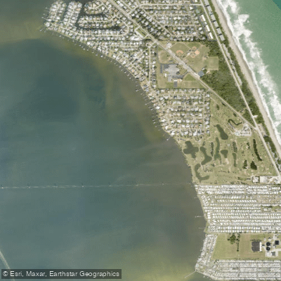
Whitehouse Cove is a sheltered saltwater cove on the Chesapeake Bay, located off Bennetts Creek in Poquoson, Virginia. The primary and free public access for paddlers is the Rens Road public boat ramp, which is situated within the Whitehouse Cove Marina facility. Parking at this launch is being limited. The cove provides immediate, protected access to a network of tidal creeks and bays. Paddling east out of Whitehouse Cove leads into Bennetts Creek and the broader Poquoson River, offering routes into areas like Lloyds Bay and past marsh islands such as Marsh Island. A specific recommended day trip is the circumnavigation of Cow Island, which involves paddling from the launch, through Bennetts Creek and Lloyds Bay, into a narrow channel north of Cow Island, and into the shallow, bird-rich area of Sandy Bay. It is important to note that the adjacent Plum Tree Island National Wildlife Refuge, which includes Cow Island, is closed to all public access on land due to unexploded ordnance and to protect nesting birds; paddlers must remain on the water and below the mean low water line. The entire region is open to wind from multiple directions, and conditions should be scouted in advance. The area features extensive salt marshes, which are the largest contiguous system in the lower Chesapeake Bay, and support diverse wildlife including shorebirds like willets and oystercatchers, as well as underwater bay grasses that are mapped annually by the Virginia Institute of Marine Science. The marina itself offers amenities including a fishing pier, and the nearby Surf Rider restaurant is a local landmark. The cove and its connecting waterways are used by motorboats departing from the marina, so paddlers should expect boat traffic, particularly near the launch and channel entrances.
Water access, boat ramps & amenities
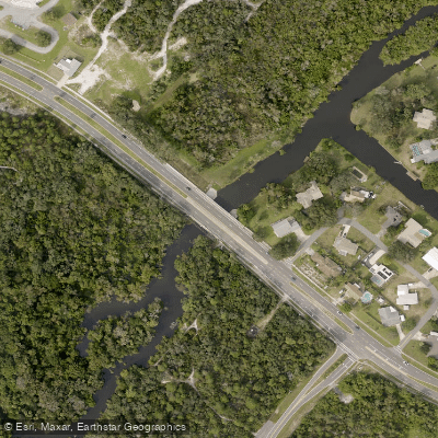
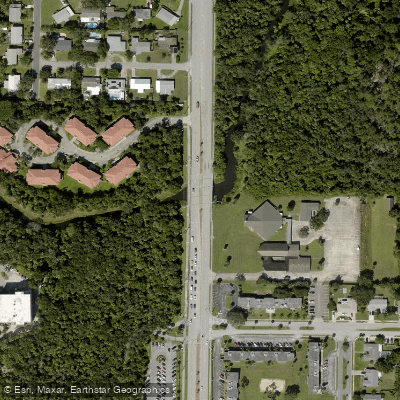
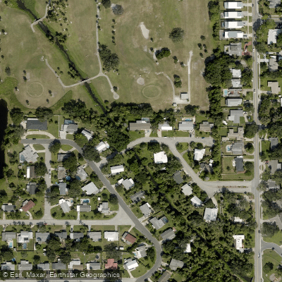
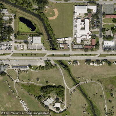
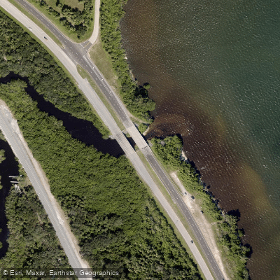
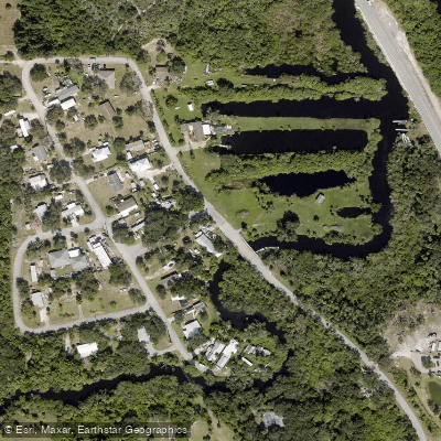
Learn how to get on Whitehouse Cove. Uncover great paddling access points, boat ramps, and all the facilities you need for an unforgettable day on the water. Some locations shown may border or include private property. Always check property boundaries and applicable regulations before visiting. PaddleWays's Public & Private Land layer can help you plan your access with confidence.
Paddle smarter with real-time insights
Whether you're en route and conditions shift or you're looking for the best spot based on current flows, we enable you to make informed decisions on the fly.








Find Places to Paddle

Over 400,000 Places to Paddle
Every user gets free access to launch points, boat ramps, and public property parcels.


Tides, wind & water conditions (10 day forecast)
On open water, wind and tide matter as much as the weather. See the best times to paddle Whitehouse Cove and check the marine forecast before you launch.
Loading tide predictions…
Paddling near Whitehouse Cove

Saint Johns River
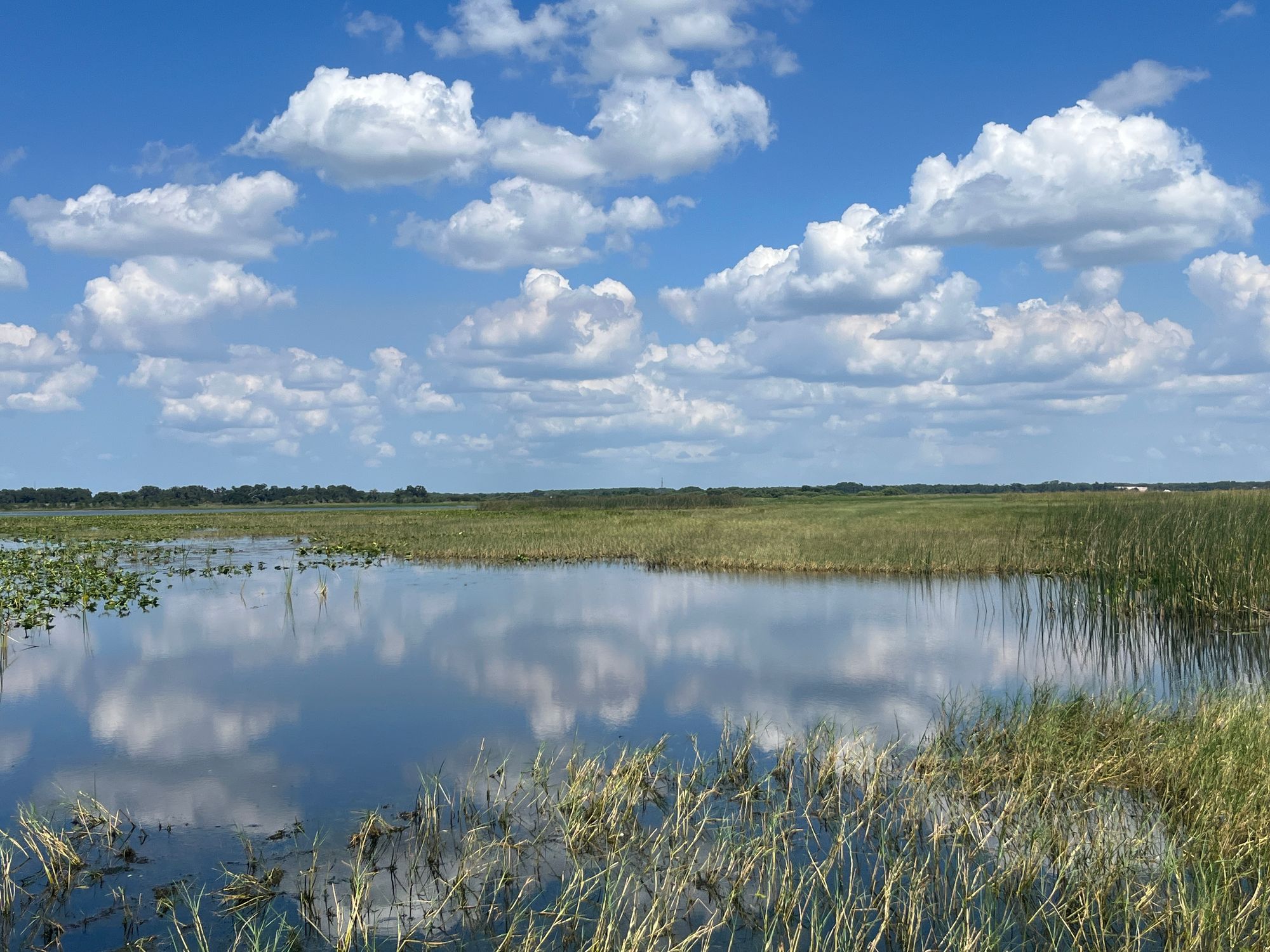
Lake Tohopekaliga
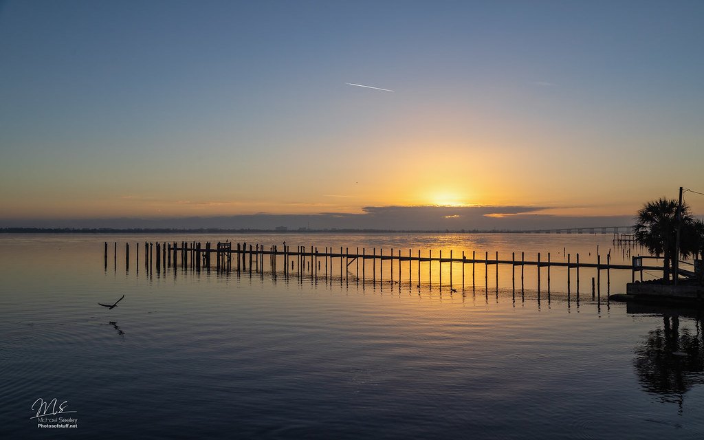
Indian River Lagoon
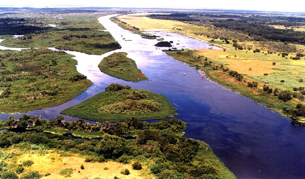
Kissimmee River
Indian River
Banana River
Lake Washington
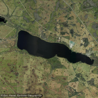
Lake Marian
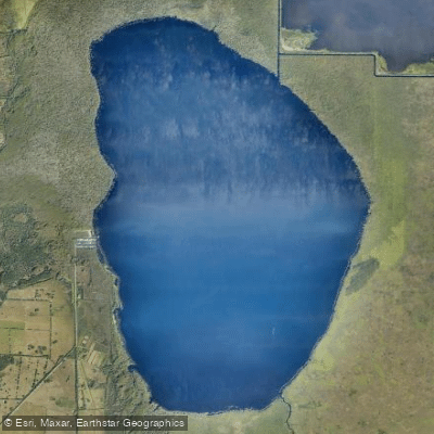
Blue Cypress Lake
Explore Florida waters
Top paddling waters
Popular Cities
Loading popular cities...
Explore near Whitehouse Cove
Access points
Nearby waters
More in Florida

Smarter Paddling Starts in the App.
Paddleways gives you everything you need to plan smarter, paddle better, and own every trip from first launch to takeout.