Withlacoochee River
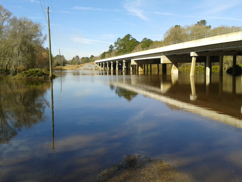
Withlacoochee River
- Boat Ramps
- 16
- Access Points
- 16
- Campsites
- 3
The Withlacoochee River originates northwest of Nashville in Berrien County, Georgia, and flows 115 miles southward through the coastal plain before joining the Suwannee River at Suwannee River State Park in Florida. This blackwater river derives its name from Creek words meaning "little big water" or "crooked river," both apt descriptions of its tea-colored waters and meandering course. The river forms significant county boundaries, including portions between Berrien and Cook counties, Lowndes and Brooks counties in Georgia, and Madison and Hamilton counties in Florida.
Paddling opportunities span approximately 28 miles of designated water trail from the Georgia-Florida state line to Suwannee River State Park, with additional access points extending upstream into Georgia. The river supports multiple paddling sections ranging from easy to difficult depending on water levels and shoal conditions. Notable segments include the stretch from Nankin Landing to Madison Highway (SR 31) in Georgia, where paddlers encounter shoals that require attention at moderate water levels and may necessitate portaging during low water. The section from CR 145 Bridge at the state line to CR 150 Bridge offers intermediate paddling, while the downstream stretch from Madison Blue Spring State Park to the Suwannee confluence provides easier conditions suitable for beginners.
Water levels significantly affect paddling difficulty. The USGS gauge at Pinetta, Florida, provides critical information—readings above 54 feet offer optimal conditions, while levels below this threshold expose numerous shoals. The river flows through the Withlacoochee State Forest and conservation lands, providing relatively undeveloped shoreline with occasional sandy beaches for rest stops. Madison Blue Spring State Park serves as a major landmark and access point, featuring a first-magnitude spring that contributes substantial base flow to the lower river. Other springs along the route include McIntyre Spring in Georgia and several unnamed springs in Florida.
Wildlife includes alligators, river otters, various wading birds, and the distinctive Suwannee bass. Bald cypress, tupelo, and river birch line the banks, with yaupon holly and sand pines appearing in certain stretches.
Primary access points include Nankin Landing (Clyattville-Nankin Road), State Line Boat Ramp (Madison Highway/SR 31), Sullivan Launch (CR 150), Madison Blue Spring State Park, and the Madison Boat Ramp. The nearest significant population center is Valdosta in Lowndes County, with smaller communities including Pinetta and Madison in Florida.
The river corridor holds historical significance related to the Second Seminole War and early settlement patterns. During the Civil War, Brooks County served as the "Smokehouse of the Confederacy."
Paddlers should monitor water levels carefully, as the river's character changes dramatically with rainfall. Primitive camping is permitted on conservation lands with appropriate permits from the Suwannee River Water Management District. Multi-day trips are feasible, particularly the 28-mile designated trail section, which typically requires two days with an overnight camp.
Water access, boat ramps & amenities
Learn how to get on Withlacoochee River. Uncover great paddling access points, boat ramps, and all the facilities you need for an unforgettable day on the water. Some locations shown may border or include private property. Always check property boundaries and applicable regulations before visiting. PaddleWays's Public & Private Land layer can help you plan your access with confidence.
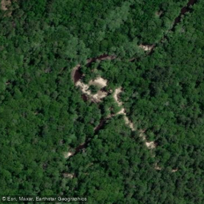
Defunct Boat Ramp
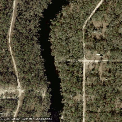
NW 47th Street Boat Ramp
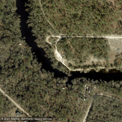
County Road 143 Ramp - Withlacoochee River at SW 64th Way
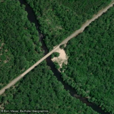
Nankin Boat Ramp
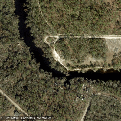
Hamilton County Road 143 Boat Ramp
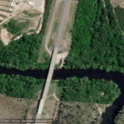
Madison Highway Boat Ramp
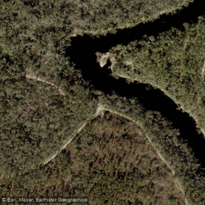
Twin Rivers State Forest - Citty Bend Tract - Canoe Access
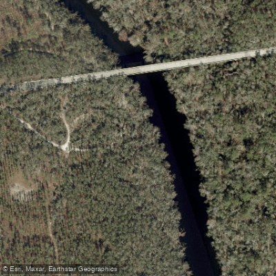
Twin Rivers State Forest - Sullivan Tract Canoe Access - South
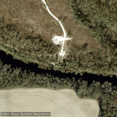
Twin Rivers State Forest - Withlacoochee Tract -Pot Spring Canoe Kayak Access
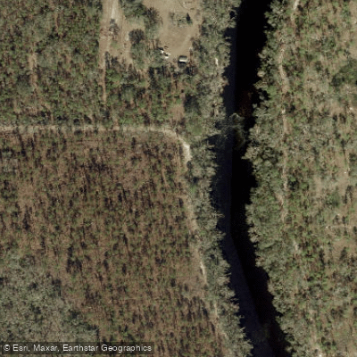
Twin Rivers State Forest - Westwood West Tract - Canoe Access
Paddle smarter with real-time insights
Whether you're en route and conditions shift or you're looking for the best spot based on current flows, we enable you to make informed decisions on the fly.








Find Places to Paddle

Over 400,000 Places to Paddle
Every user gets free access to launch points, boat ramps, and public property parcels.


Water and weather conditions (10 day forecast)
See the best times to paddle Withlacoochee River and check the forecast before you go.
WITHLACOOCHEE R AT SKIPPER BRIDGE RD,NR BEMISS, GA
All Flow Stations
Paddling near Withlacoochee River
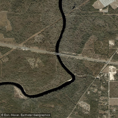
Suwannee River
Alapaha River
Banks Lake
Little River
Reed Bingham Park Lake
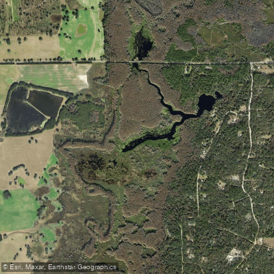
Sneads Smokehouse Lake
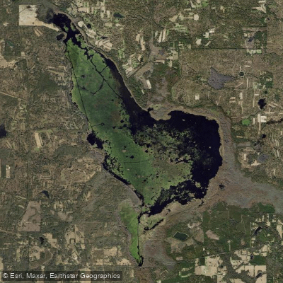
Lake Miccosukee
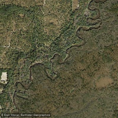
Ochlockonee River
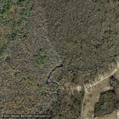
Aucilla River
Explore Florida waters
Top paddling waters
Popular Cities
Loading popular cities...
Explore near Withlacoochee River
Access points
- Defunct Boat Ramp
- NW 47th Street Boat Ramp
- County Road 143 Ramp - Withlacoochee River at SW 64th Way
- Nankin Boat Ramp
- Hamilton County Road 143 Boat Ramp
- Madison Highway Boat Ramp
- Twin Rivers State Forest - Citty Bend Tract - Canoe Access
- Twin Rivers State Forest - Sullivan Tract Canoe Access - South
- Twin Rivers State Forest - Withlacoochee Tract -Pot Spring Canoe Kayak Access
- Twin Rivers State Forest - Westwood West Tract - Canoe Access
- Withlacoochee River Park Boat Ramp
- Madison Blue Spring State Park Canoe / Kayak Launch
- All 107 spots
Nearby waters
More in Florida

Smarter Paddling Starts in the App.
Paddleways gives you everything you need to plan smarter, paddle better, and own every trip from first launch to takeout.