Ochlockonee River
Ochlockonee River
- Boat Ramps
- 12
- Access Points
- 12
- Campsites
- 24
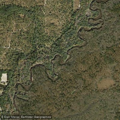
The Ochlockonee River is a scenic waterway that originates in south-central Georgia and flows southwest into Florida, eventually emptying into the Gulf of Mexico. This 206-mile long river forms part of the border between Georgia and Florida before fully entering the Sunshine State. Major tributaries include Telogia Creek and the Little River.
Paddling opportunities abound on the Ochlockonee, with distinct sections catering to various skill levels. The Upper Ochlockonee Paddling Trail in Florida offers a 27-mile journey through narrow, twisting channels and undeveloped wilderness. The Lower Ochlockonee River Trail provides a longer 62-mile adventure through the Apalachicola National Forest and other conservation lands. The river's difficulty ranges from flatwater to intermediate, with obstacles like cypress knees and log jams adding challenge to the upper portions. While suitable for beginners in many sections, some paddling experience is recommended, especially for longer trips.
Spring and fall offer ideal paddling conditions, with comfortable temperatures and moderate water levels. Summer can be hot and buggy, while winter may see lower water levels in some areas.
The Ochlockonee's ecosystem supports diverse flora and fauna. Paddlers may encounter alligators, turtles, and various bird species. The surrounding forests feature pine, cypress, and tupelo trees, creating a lush backdrop for river adventures.
Key landmarks include Lake Talquin, formed by a dam on the river, and Ochlockonee River State Park, which offers excellent access points and camping facilities. The park also features two popular 7.5-mile paddling loops: the Dead River Sopchoppy Loop and the Bear Creek Loop. Major access points include put-ins near the Georgia state line, SR 20 bridge in Florida, and take-outs at Lake Talquin and Ochlockonee River State Park. Nearby towns include Tallahassee and Thomasville, providing amenities for paddlers.
Historically, the river played a role in the region's logging industry. Today, it's valued for its recreational opportunities and ecological significance.
Safety considerations include being aware of weather conditions, particularly thunderstorms, and watching for submerged obstacles. Paddlers should also be prepared for limited cell phone coverage in remote areas.
Multi-day trip options are popular, especially on the Lower Ochlockonee. Paddlers can enjoy overnight camping on sandbars, with trips ranging from weekend excursions to week-long adventures covering the full length of the river in Florida.
Water access, boat ramps & amenities
Learn how to get on Ochlockonee River. Uncover great paddling access points, boat ramps, and all the facilities you need for an unforgettable day on the water. Some locations shown may border or include private property. Always check property boundaries and applicable regulations before visiting. PaddleWays's Public & Private Land layer can help you plan your access with confidence.
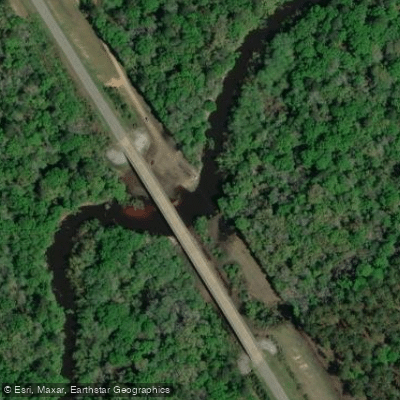
State Highway 93 Boat Ramp
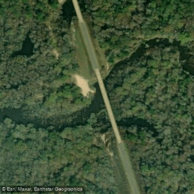
Hadley Ferry Bridge Boat Ramp
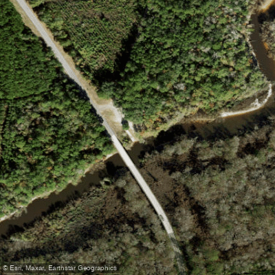
Iron Steel Bridge Landing Boat Ramp
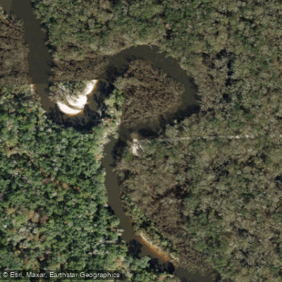
Ochlockonee Landing Boat Ramp
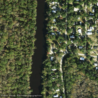
Jack Langston's Fish Camp Boat Ramp
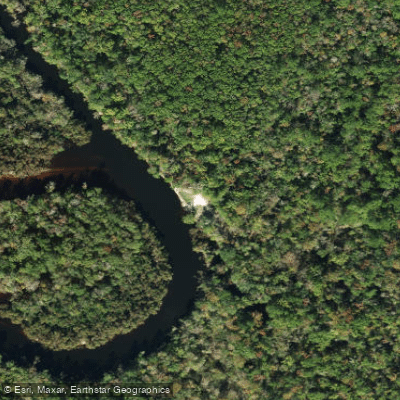
Pine Creek Landing Boat Ramp
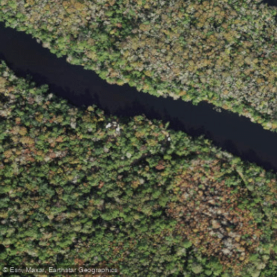
Tate's Hell State Forest Boat Ramp
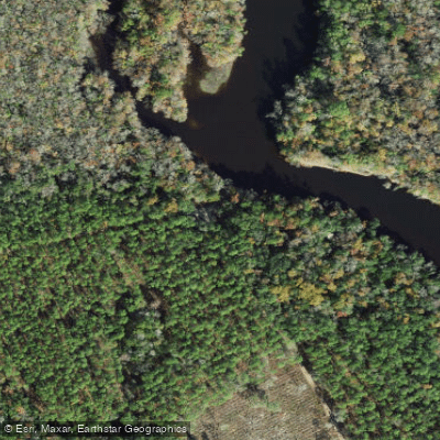
Tate's Hell State Forest Boat Ramp
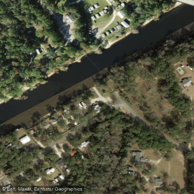
Lazy Daze Camp Ground Boat Ramp
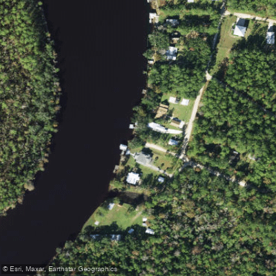
N T Smith Boat Ramp
Paddle smarter with real-time insights
Whether you're en route and conditions shift or you're looking for the best spot based on current flows, we enable you to make informed decisions on the fly.








Find Places to Paddle

Over 400,000 Places to Paddle
Every user gets free access to launch points, boat ramps, and public property parcels.


Water and weather conditions (10 day forecast)
See the best times to paddle Ochlockonee River and check the forecast before you go.
OCHLOCKONEE RIVER AT GA 188, NEAR COOLIDGE, GA
All Flow Stations
Paddling near Ochlockonee River
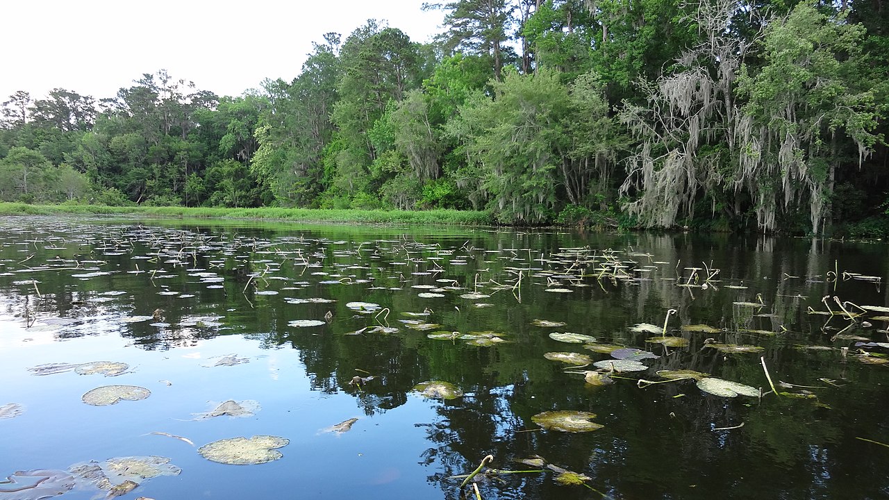
Lake Talquin
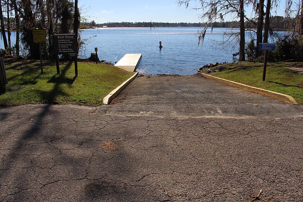
Lake Seminole
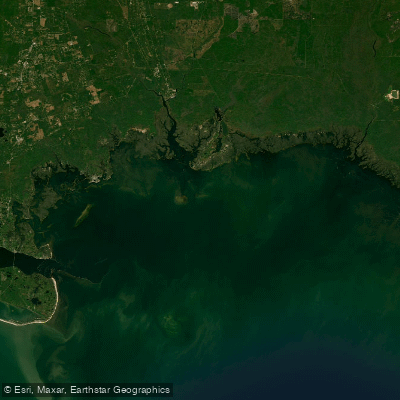
Apalachee Bay

Flint River
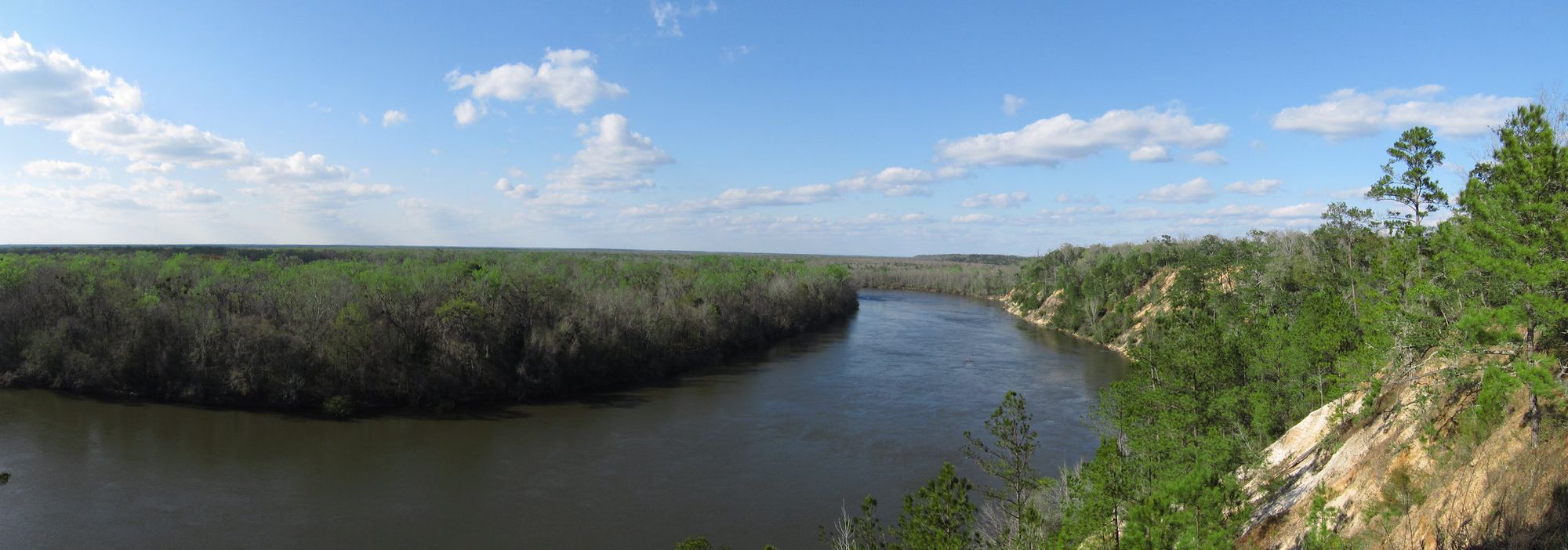
Apalachicola River
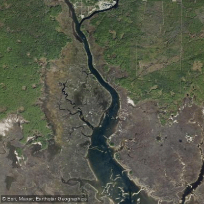
Saint Marks River

Chattahoochee River
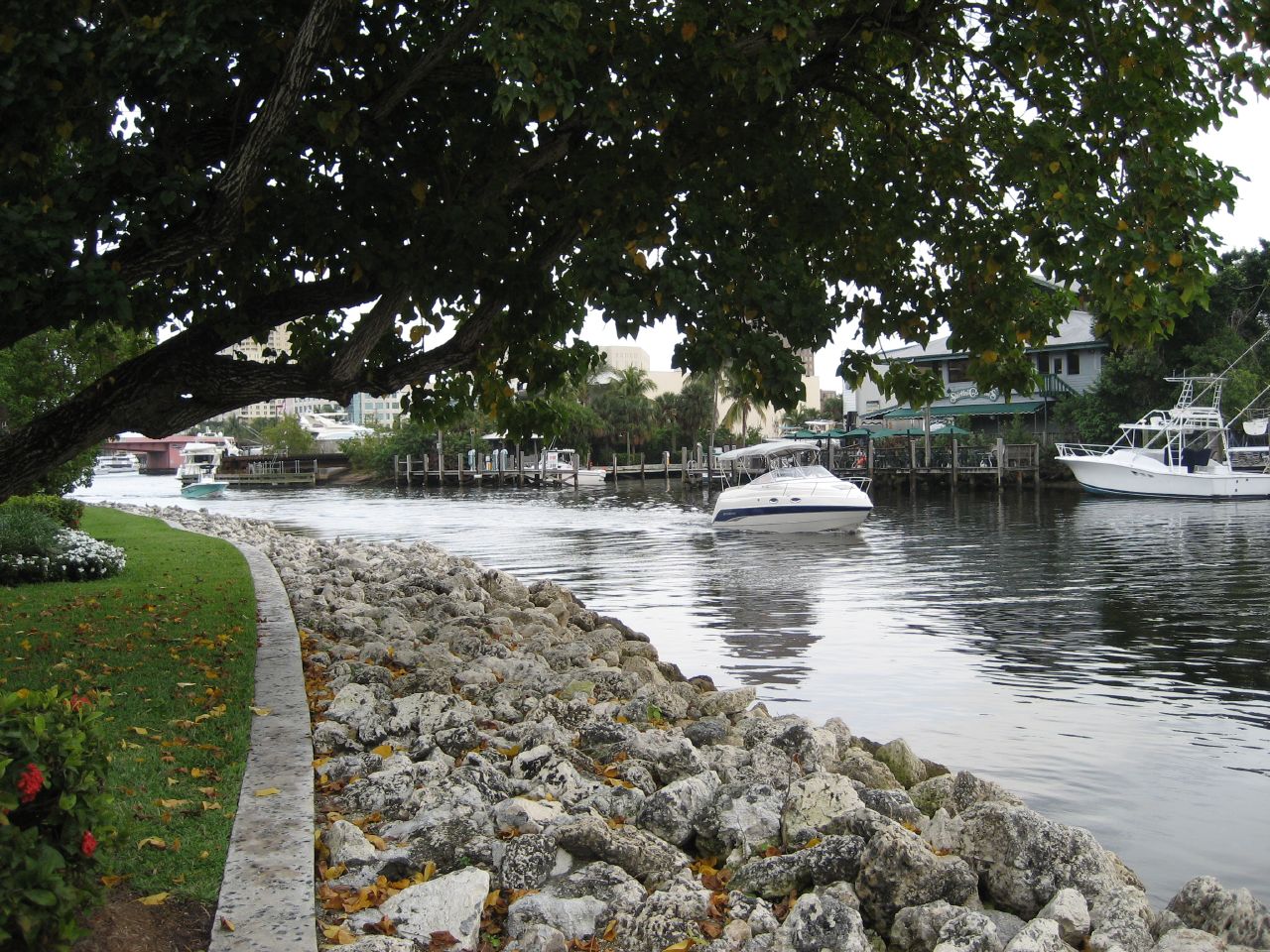
New River
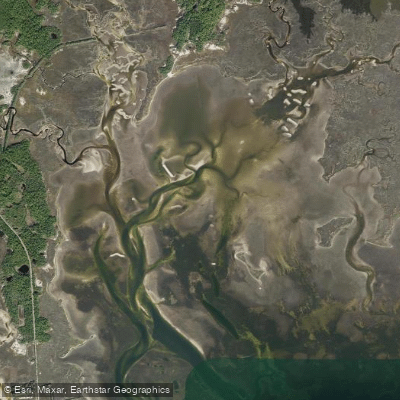
Goose Creek Bay
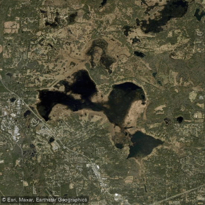
Lake Jackson
Explore Florida waters
Top paddling waters
Popular Cities
Loading popular cities...
Explore near Ochlockonee River
Access points
- State Highway 93 Boat Ramp
- Hadley Ferry Bridge Boat Ramp
- Iron Steel Bridge Landing Boat Ramp
- Ochlockonee Landing Boat Ramp
- Jack Langston's Fish Camp Boat Ramp
- Pine Creek Landing Boat Ramp
- Tate's Hell State Forest Boat Ramp
- Tate's Hell State Forest Boat Ramp
- Lazy Daze Camp Ground Boat Ramp
- N T Smith Boat Ramp
- Fairbanks Ferry Road Boat Ramp
- Womack Creek Recreation Site Boat Ramp
- All 231 spots
Nearby waters
More in Florida

Smarter Paddling Starts in the App.
Paddleways gives you everything you need to plan smarter, paddle better, and own every trip from first launch to takeout.