Little River
Little River
- Boat Ramps
- 2
- Access Points
- 2
- Campsites
- 0
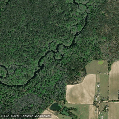
The Little River originates near Ashburn in Turner County and flows southward for 105 miles through the Georgia Coastal Plain before joining the Withlacoochee River just west of Valdosta in Lowndes County. This undammed blackwater river carries tea-colored water through six south Georgia counties—Turner, Tift, Colquitt, Cook, Brooks, and Lowndes—creating one of the region's most accessible paddling destinations.
Reed Bingham State Park in Cook County serves as the recreational heart of the Little River, featuring both a 375-acre impounded lake and natural river sections. The park offers two boat ramps and hosts the annual BIG Little River Paddle Race each April, drawing paddlers from across the Southeast. Below the park's spillway dam, the river returns to its natural character, meandering through bottomland forests of bald cypress, river birch, and towering pines draped with Spanish moss.
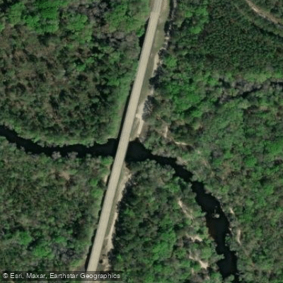
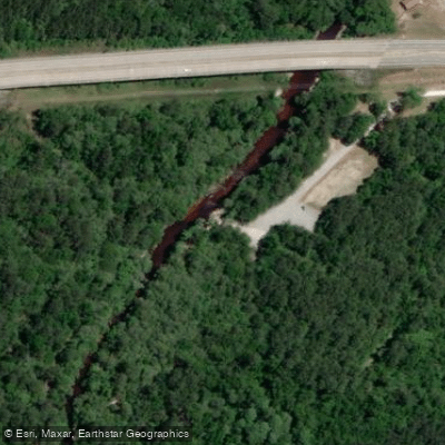
Paddlers find predominantly flatwater conditions suitable for beginners, with the river classified as Class I+. The 7-mile section from Red Roberts Landing at Rountree Bridge to Reed Bingham State Park represents the most popular beginner route, offering easy access and predictable conditions. Additional public access exists at Kinard Bridge Landing near Lenox, Antioch Road Landing, Cook County Boat Ramp at GA 76, and Folsom Bridge Landing at GA 122 in Lowndes County. The river's final miles flow past Troupville, the former Lowndes County seat from 1833 to 1860, before merging with the Withlacoochee.
Water levels fluctuate seasonally, with spring and fall generally providing optimal paddling conditions. Summer heat makes early morning launches advisable, while winter offers solitude despite cooler temperatures. The subtropical climate permits year-round paddling, though water levels can drop significantly during dry periods.
Wildlife encounters include alligators, river otters, great blue herons, and numerous turtle species. The surrounding forests shelter white-tailed deer and wild turkey, while the river itself supports diverse fish populations including bass and bream.
The Little River forms part of the Withlacoochee and Little River Water Trail, a designated water trail system with informational signage, mapped routes, and support from local counties and the Georgia Department of Natural Resources. Historical names for the river include Ockolochoochee and Alacoochee, reflecting its Native American heritage.
Paddlers should wear personal flotation devices at all times and be prepared for occasional deadfall requiring portage. No permits are required for day trips, though Reed Bingham State Park charges a $5 vehicle entrance fee. Primitive camping on sandbars is permitted on public lands without reservation.
Water access, boat ramps & amenities
Learn how to get on Little River. Uncover great paddling access points, boat ramps, and all the facilities you need for an unforgettable day on the water. Some locations shown may border or include private property. Always check property boundaries and applicable regulations before visiting. PaddleWays's Public & Private Land layer can help you plan your access with confidence.
Paddle smarter with real-time insights
Whether you're en route and conditions shift or you're looking for the best spot based on current flows, we enable you to make informed decisions on the fly.








Find Places to Paddle

Over 400,000 Places to Paddle
Every user gets free access to launch points, boat ramps, and public property parcels.


Water and weather conditions (10 day forecast)
See the best times to paddle Little River and check the forecast before you go.
LITTLE RIVER NEAR ADEL, GA
All Flow Stations
Paddling near Little River
Withlacoochee River
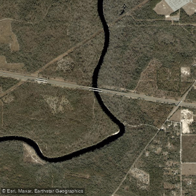
Suwannee River
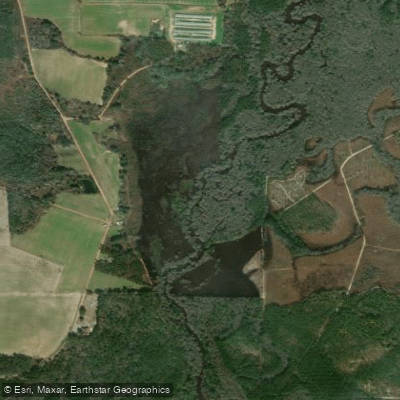
Alapaha River
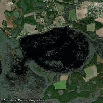
Banks Lake
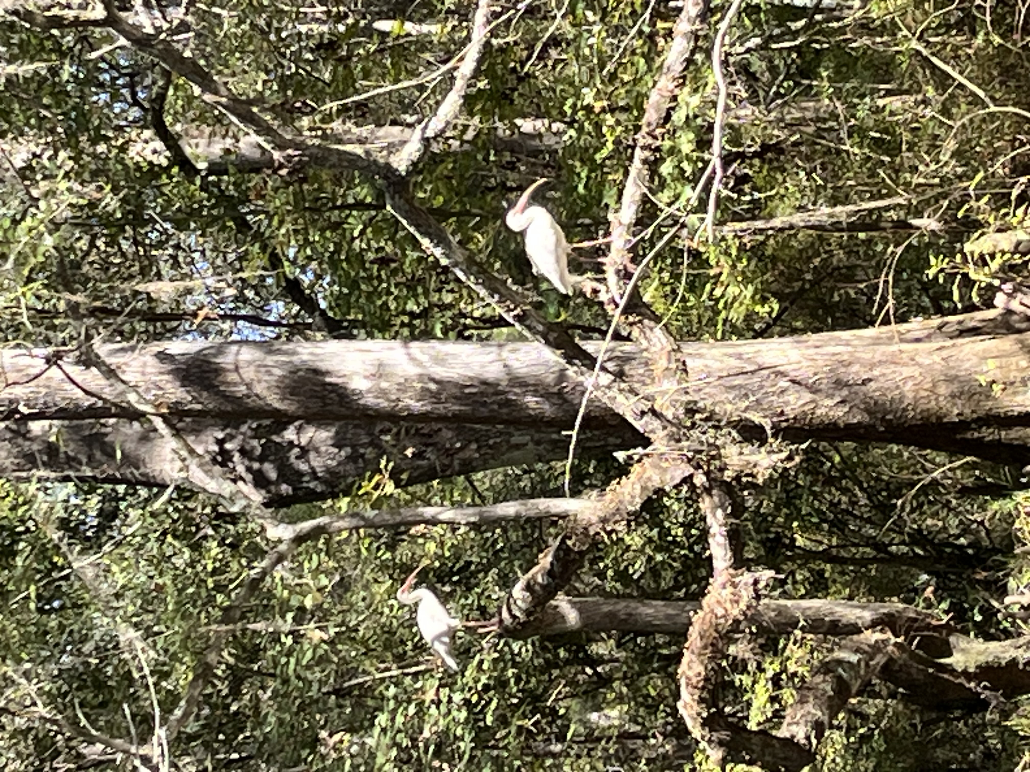
Reed Bingham Park Lake
Sneads Smokehouse Lake
Lake Miccosukee
Ochlockonee River
Aucilla River
Explore Georgia waters
Top paddling waters
Popular Cities
Loading popular cities...
Explore near Little River
Access points
Nearby waters
More in Georgia

Smarter Paddling Starts in the App.
Paddleways gives you everything you need to plan smarter, paddle better, and own every trip from first launch to takeout.