Aucilla River
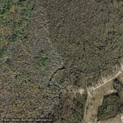
Aucilla River
- Boat Ramps
- 21
- Access Points
- 21
- Campsites
- 4
The Aucilla River originates in southern Georgia and flows southward through north Florida before emptying into the Gulf of Mexico. This blackwater river stretches approximately 75 miles from its headwaters to the Gulf, passing through the Aucilla Wildlife Management Area and other conservation lands. The Wacissa River is a major tributary, joining the Aucilla near its lower reaches.
Paddling opportunities on the Aucilla range from flatwater sections in its upper reaches to more challenging whitewater in the middle and lower portions. The Upper Aucilla offers a serene journey through north Florida's natural beauty, while the Lower Aucilla presents a more demanding paddle with tight turns, rocky shoals, and short rapids. The river's difficulty ranges from easy flatwater to intermediate/advanced sections requiring solid boat control and navigation skills.
The Lower Aucilla, particularly the 27-mile stretch from the Old Railroad Bridge to the Wacissa confluence, is best suited for experienced paddlers. This section features a narrow, twisting channel with numerous deadfalls and overhanging trees. A popular 15-mile day trip runs from Herndon's Landing to just north of Goose Pasture Road, offering a good balance of scenery and challenge.
Spring and fall typically provide the best paddling conditions, with comfortable temperatures and moderate water levels. Summer can be hot and buggy, while winter may see low water levels that increase difficulty.
The river corridor supports diverse ecosystems, home to various bird species and other wildlife. Paddlers may encounter cypress swamps, hardwood forests, and limestone outcroppings along their journey.
Key landmarks include the historic Slave Canal, a 5-mile connector between the Wacissa and Aucilla rivers constructed in the 19th century. This challenging paddle offers a unique glimpse into the region's past.
Major access points include Federal Road #1 near Lamont, the Old Railroad Bridge Launch, and Goose Pasture Recreation Area. The river passes through or near small Florida towns like Lamont and Nutall Rise.
The Aucilla holds significant archaeological value, with sites along its banks revealing evidence of early human habitation in Florida. The river's rich history and natural beauty make it a designated National Recreation Trail.
Safety considerations include being prepared for remote paddling, watching for submerged obstacles, and respecting private property along the banks. Multi-day trips are possible, with primitive camping available at designated sites within the Aucilla Wildlife Management Area.
Water access, boat ramps & amenities
Learn how to get on Aucilla River. Uncover great paddling access points, boat ramps, and all the facilities you need for an unforgettable day on the water. Some locations shown may border or include private property. Always check property boundaries and applicable regulations before visiting. PaddleWays's Public & Private Land layer can help you plan your access with confidence.
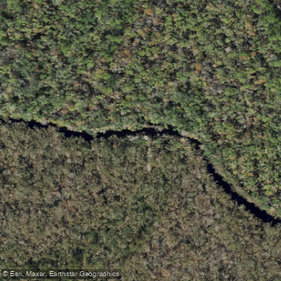
Aucilla River Mile 27.8 - Primitive Boat Access - Mt. Gilead Tract
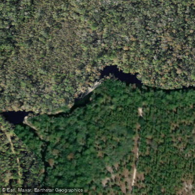
Aucilla River Mile 15.8 - Downstream Side of Aucilla Rapids Primitive Canoe Access - Cabbage Grove Tract
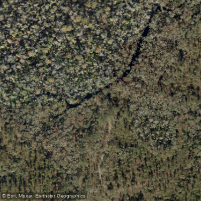
Aucilla River Mile 41 - Cuba Bay Tract Primitive Canoe Access East
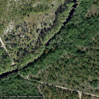
Aucilla River Mile 14.4 - Walker Bridge Road - Primitive Canoe Access - Cabbage Grove Tract
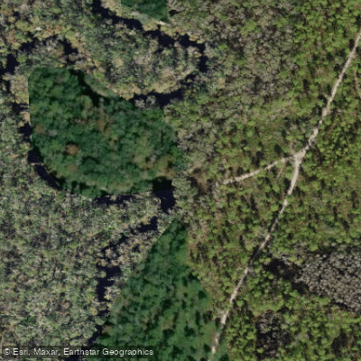
Aucilla River Mile 24.4 - Reams Landing Boat Ramp - Mt. Gilead Tract
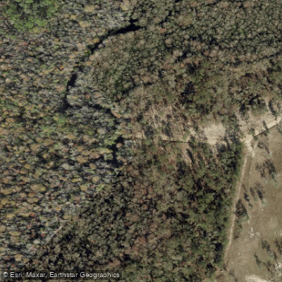
Seven Bridges Public Boat Ramp (Small Boats Only)
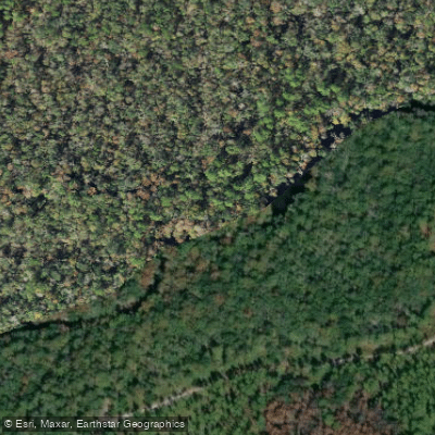
Aucilla River Mile 18.6 - Primitive Canoe Access - Jone's Mill Creek Tract North
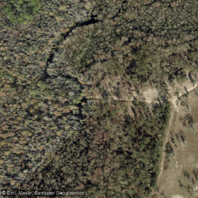
Seven Bridges Boat Ramp
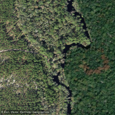
Aucilla River Mile 17.6 - Jone's Mill Creek Primitive Boat Access - Jones Mill Creek Tract
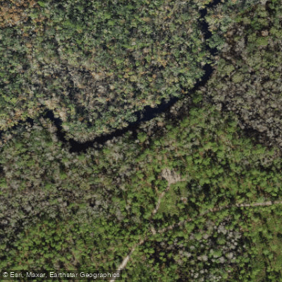
Aucilla River Mile 25.2 - Reems Landing Canoe Access - Mt. Gilead Tract
Paddle smarter with real-time insights
Whether you're en route and conditions shift or you're looking for the best spot based on current flows, we enable you to make informed decisions on the fly.








Find Places to Paddle

Over 400,000 Places to Paddle
Every user gets free access to launch points, boat ramps, and public property parcels.


Water and weather conditions (10 day forecast)
See the best times to paddle Aucilla River and check the forecast before you go.
AUCILLA RIVER AT LAMONT, FLA.
All Flow Stations
Paddling near Aucilla River
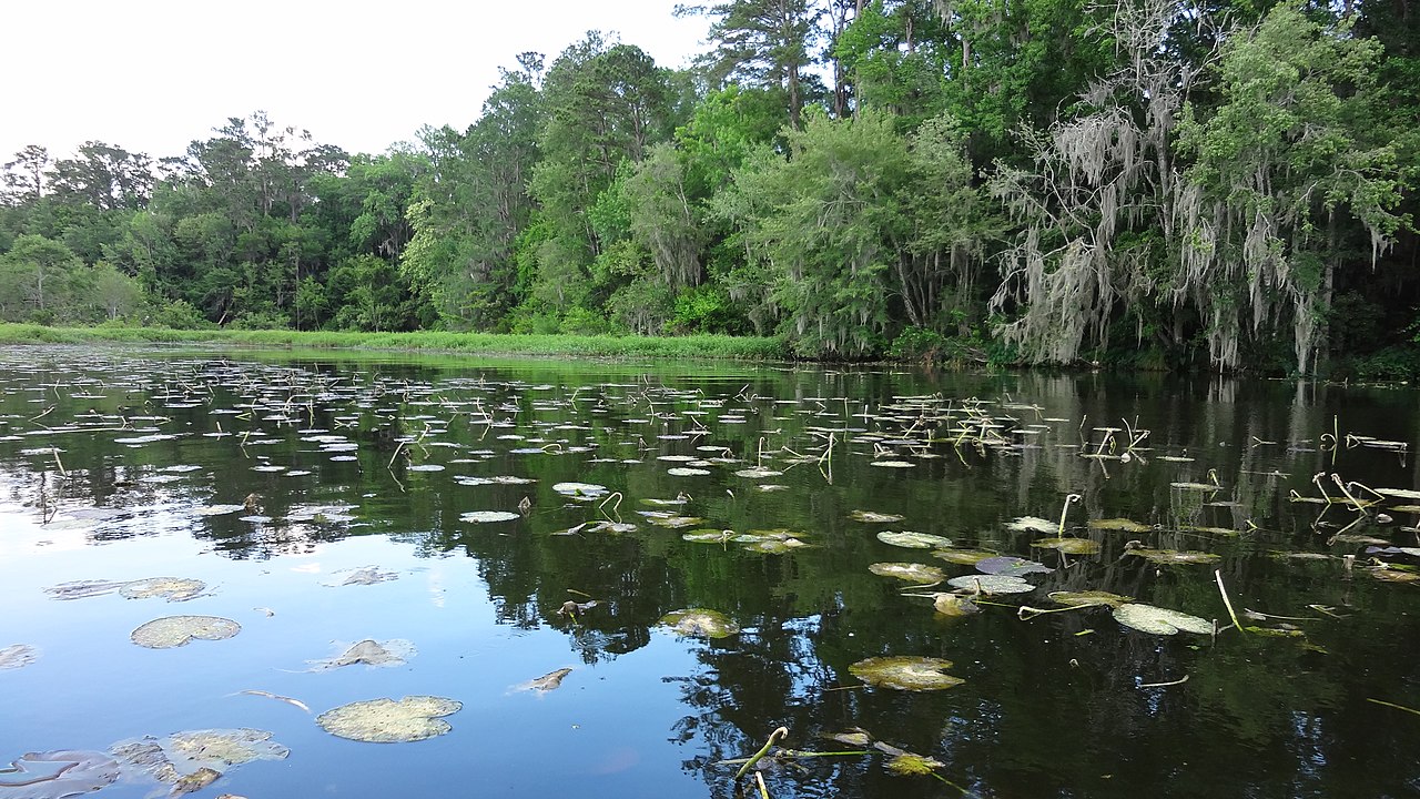
Lake Talquin
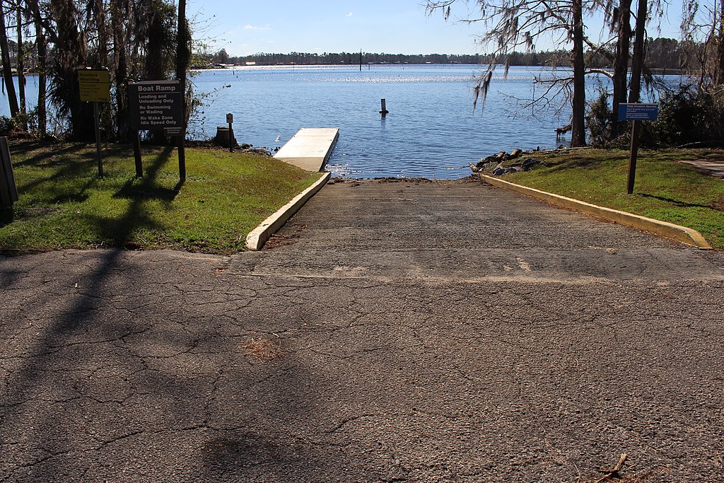
Lake Seminole
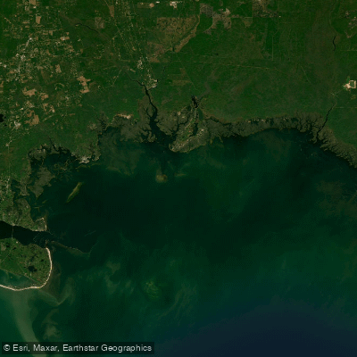
Apalachee Bay

Flint River
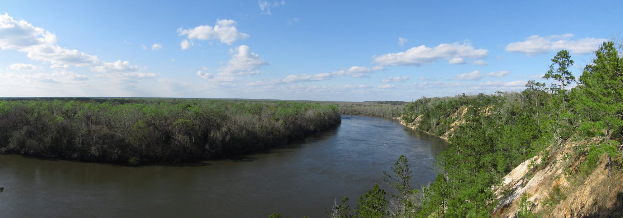
Apalachicola River
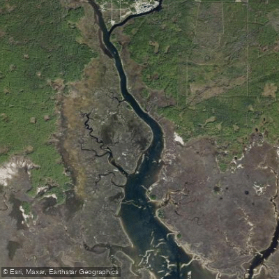
Saint Marks River

Chattahoochee River
New River
Goose Creek Bay
Lake Jackson
Explore Florida waters
Top paddling waters
Popular Cities
Loading popular cities...
Explore near Aucilla River
Access points
- Aucilla River Mile 27.8 - Primitive Boat Access - Mt. Gilead Tract
- Aucilla River Mile 15.8 - Downstream Side of Aucilla Rapids Primitive Canoe Access - Cabbage Grove Tract
- Aucilla River Mile 41 - Cuba Bay Tract Primitive Canoe Access East
- Aucilla River Mile 14.4 - Walker Bridge Road - Primitive Canoe Access - Cabbage Grove Tract
- Aucilla River Mile 24.4 - Reams Landing Boat Ramp - Mt. Gilead Tract
- Seven Bridges Public Boat Ramp (Small Boats Only)
- Aucilla River Mile 18.6 - Primitive Canoe Access - Jone's Mill Creek Tract North
- Seven Bridges Boat Ramp
- Aucilla River Mile 17.6 - Jone's Mill Creek Primitive Boat Access - Jones Mill Creek Tract
- Aucilla River Mile 25.2 - Reems Landing Canoe Access - Mt. Gilead Tract
- Aucilla River Mile 08.3 - Half Mile Rise Primitive Boat Launch
- Bowden Boat Ramp
- All 83 spots
Nearby waters
More in Florida

Smarter Paddling Starts in the App.
Paddleways gives you everything you need to plan smarter, paddle better, and own every trip from first launch to takeout.