Alcovy River
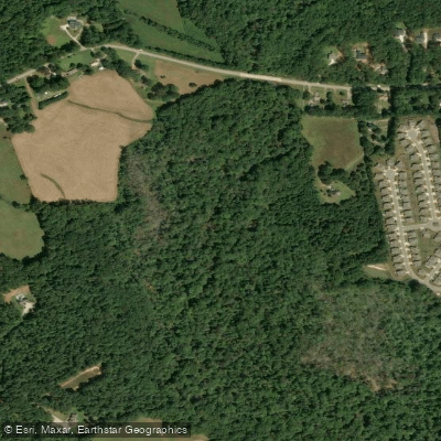
Alcovy River
- Boat Ramps
- 0
- Access Points
- 0
- Campsites
- 0
The Alcovy River is a waterway located in north-central Georgia, offering paddlers a range of experiences from peaceful flatwater to challenging whitewater. Originating near Lawrenceville, the river flows south for approximately 69 miles through Gwinnett, Walton, and Newton counties before emptying into Lake Jackson.
The river can be divided into several distinct sections, each with its own character. The upper reaches, known as the Alcovy River Main Stem, provide a mostly calm Class I paddling experience suitable for beginners and families. This section features gradual rocky inclines, forested swamps, and lush, shaded woodlands, making it ideal for nature enthusiasts and wildlife spotting.
As the river progresses, it becomes more challenging, culminating in the popular GA Route 81 to US 278 section. This 21-mile stretch offers a mix of Class II and III rapids, providing an enjoyable and continuous whitewater experience for intermediate paddlers. The river here tends to be more difficult than many other waterways in the area, so it's not recommended for novices.
One of the highlights of the Alcovy River is the Factory Shoals section, a 2.4-mile Class III run that begins at East End Road and ends at Factory Shoals Park. This stretch features numerous playful Class I shoals, with the highlight being the rapids at historic Henderson Mill. The run culminates at Factory Shoals Park, just above more challenging Class II-IV cascades that once powered local mills.
The best time to paddle the Alcovy River is typically in the spring and early summer when water levels are optimal. However, it's essential to check current conditions before any trip, as water levels can significantly affect the difficulty and safety of the run.
Along its course, the Alcovy River passes through diverse ecosystems, including tupelo swamps near Covington, which provide a unique backdrop for paddlers. The river and its surrounding areas are home to various wildlife, making it an excellent destination for nature lovers and birdwatchers.
Several access points and nearby towns make the Alcovy River relatively easy to reach. The city of Covington serves as a convenient base for exploring the river, with the East End property offering a restored 16.7-acre access point that's part of the Alcovy River Greenway.
The river holds historical significance, with remnants of old mills and the restored East End property showcasing its past as an industrial waterway. Today, conservation efforts have transformed sections like East End from former dumping grounds into vibrant natural areas.
Safety is paramount when paddling the Alcovy River, especially in its more challenging sections. Paddlers should always wear appropriate safety gear, including life jackets, and be prepared for varying conditions. It's advisable to paddle with experienced companions, particularly in the whitewater sections.
For those looking for a multi-day adventure, it's possible to combine the Alcovy River with nearby waterways like the Yellow River. The Georgia River Network occasionally organizes paddle events that showcase both rivers, offering a unique opportunity to experience the region's diverse paddling options.
Whether you're seeking a peaceful float through serene swamps or an adrenaline-pumping whitewater run, the Alcovy River offers a paddling experience for almost every skill level, all while showcasing the natural beauty and rich history of north-central Georgia.
Water access, boat ramps & amenities
Learn how to get on Alcovy River. Uncover great paddling access points, boat ramps, and all the facilities you need for an unforgettable day on the water. Some locations shown may border or include private property. Always check property boundaries and applicable regulations before visiting. PaddleWays's Public & Private Land layer can help you plan your access with confidence.
Paddle smarter with real-time insights
Whether you're en route and conditions shift or you're looking for the best spot based on current flows, we enable you to make informed decisions on the fly.








Find Places to Paddle

Over 400,000 Places to Paddle
Every user gets free access to launch points, boat ramps, and public property parcels.


Water and weather conditions (10 day forecast)
See the best times to paddle Alcovy River and check the forecast before you go.
ALCOVY RIVER BELOW COVINGTON, GA
All Flow Stations
Paddling near Alcovy River
Ocmulgee River

Chattahoochee River
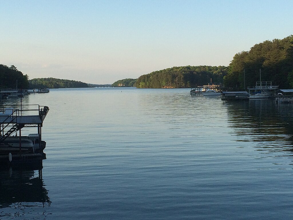
Lake Sidney Lanier

Flint River

Lake Oconee
Lake Sinclair
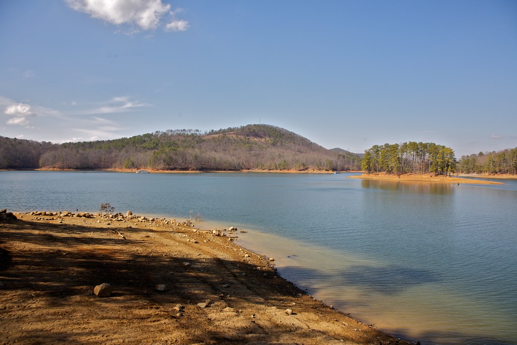
Allatoona Lake
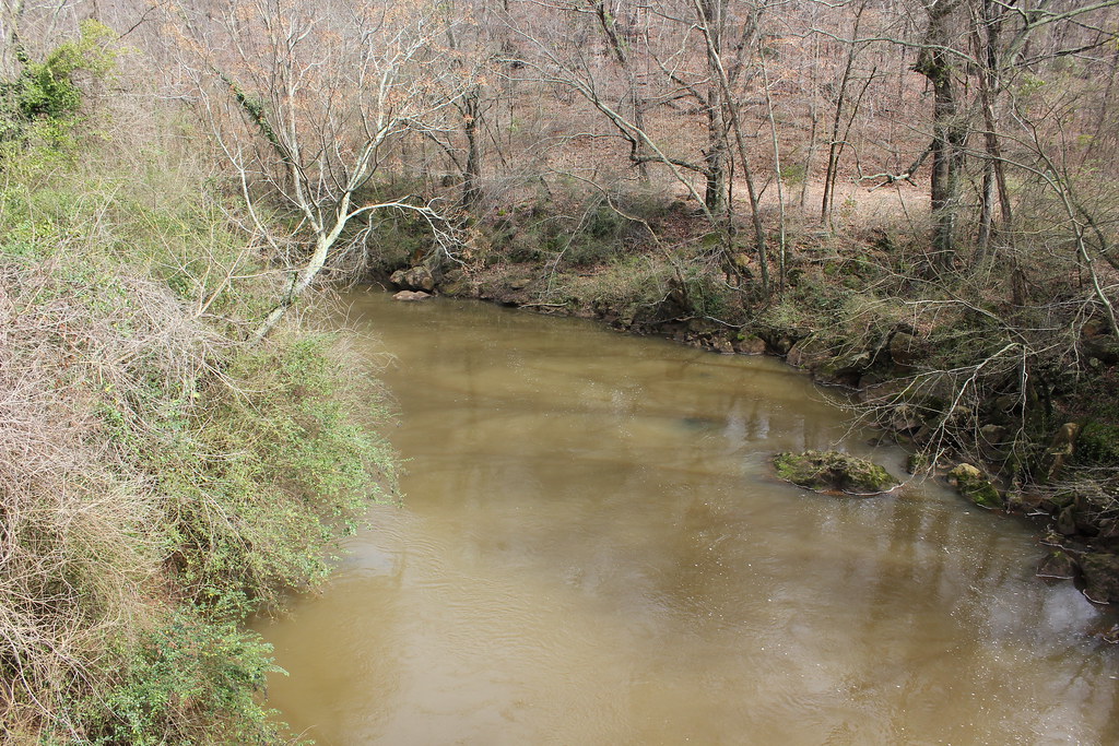
Oconee River
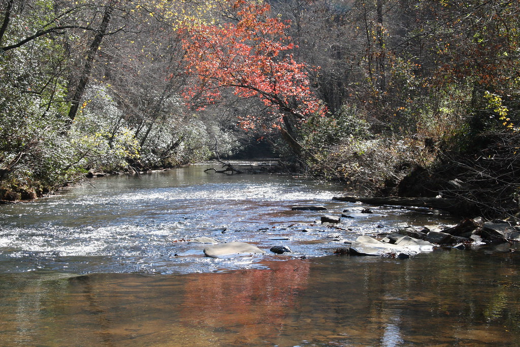
Etowah River
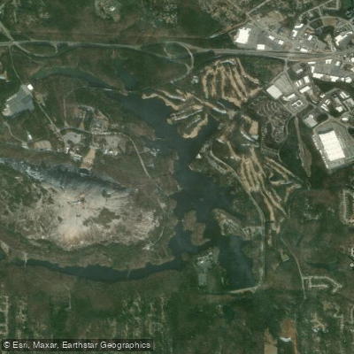
Stone Mountain Lake
Explore Georgia waters
Top paddling waters
Popular Cities
Loading popular cities...
Explore near Alcovy River
Access points
Nearby waters
More in Georgia

Smarter Paddling Starts in the App.
Paddleways gives you everything you need to plan smarter, paddle better, and own every trip from first launch to takeout.