West Point Lake
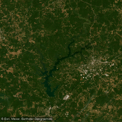
West Point Lake
- Boat Ramps
- 26
- Access Points
- 26
- Campsites
- 7
West Point Lake is a 26,000-acre reservoir straddling the Alabama-Georgia border, extending 35 miles along the Chattahoochee River with 525 miles of shoreline. The lake's deep forests and rolling fields provide a scenic backdrop for paddling. Multiple access points are available, including day-use parks and campgrounds with boat ramps and courtesy docks.
Kayaking and canoeing are popular activities, with rentals available from Highland Pines Resort and Marina. The lake offers diverse paddling experiences, from exploring secluded coves to traversing the main basin. Wildlife viewing opportunities include bald eagles and osprey.
The lake is known for its fishing, particularly largemouth and spotted bass. Paddlers should be aware of potential boat traffic, especially during peak fishing seasons. Water quality is generally good, with regular testing conducted at beach areas by the Corps of Engineers.
Facilities for paddlers include picnic shelters, nature trails, and fishing piers at many parks. Some campgrounds offer amenities like water and electrical hookups, hot showers, and boat ramps. Popular camping areas include Amity Campground and Whitetail Ridge Campground.
West Point Lake was created in 1965 by the construction of West Point Dam. The lake serves multiple purposes, including flood control, hydroelectric power generation, and recreation. Its maximum depth is 68 feet.
Paddlers should note that homes are not permitted within 100 yards of the shoreline, preserving the lake's natural character. The lake tends to be less developed on the Alabama side, offering more opportunities for solitude. Best times for paddling may vary seasonally, but early mornings often provide calm conditions and active wildlife.
Water access, boat ramps & amenities
Learn how to get on West Point Lake. Uncover great paddling access points, boat ramps, and all the facilities you need for an unforgettable day on the water. Some locations shown may border or include private property. Always check property boundaries and applicable regulations before visiting. PaddleWays's Public & Private Land layer can help you plan your access with confidence.
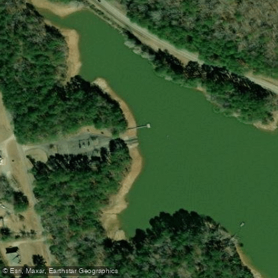
Dewberry Access Boat Ramp
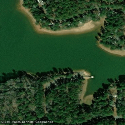
R Shaefer Heard Park Boat Ramp
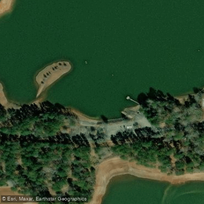
Rocky Point Boat Ramp
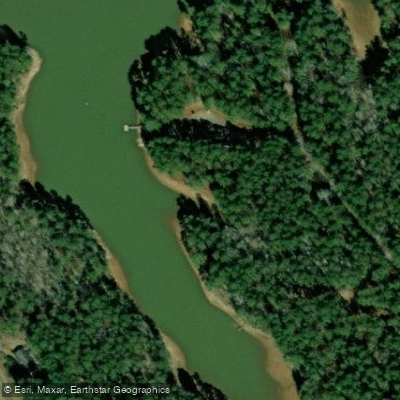
Georgia 219 Boat Ramp
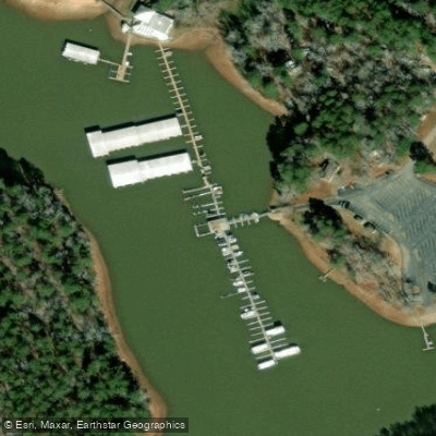
Highland Marina Resort Boat Ramp
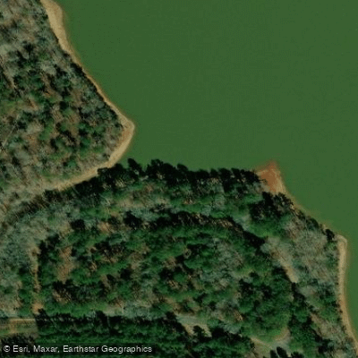
Evansville Boat Ramp
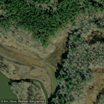
Snake Creek Boat Ramp
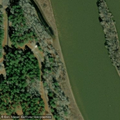
Brush Creek Camping Area Boat Ramp
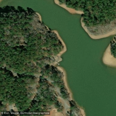
Whitetail Ridge Boat Ramp
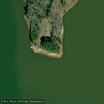
Whitewater Creek Boat Ramp
Paddle smarter with real-time insights
Whether you're en route and conditions shift or you're looking for the best spot based on current flows, we enable you to make informed decisions on the fly.








Find Places to Paddle

Over 400,000 Places to Paddle
Every user gets free access to launch points, boat ramps, and public property parcels.


Water and weather conditions (10 day forecast)
See the best times to paddle West Point Lake and check the forecast before you go.
CHATTAHOOCHEE RIVER BELOW WEST POINT DAM, GA
Paddling near West Point Lake

Chattahoochee River

Flint River
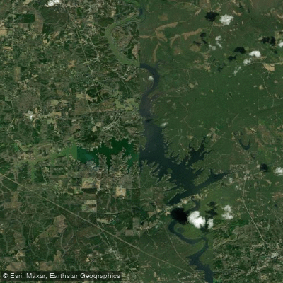
Bartletts Ferry Lake
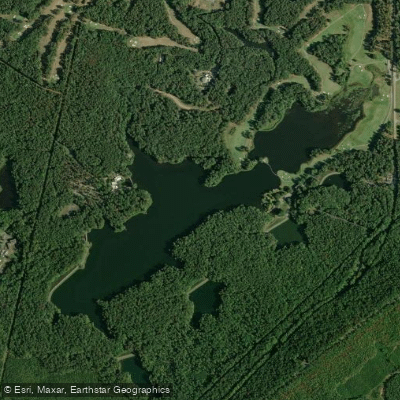
Mountain Creek Lake
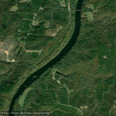
Tallapoosa River
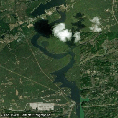
Goat Rock Lake
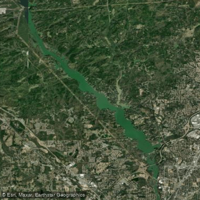
Lake Oliver
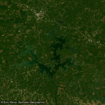
Martin Lake
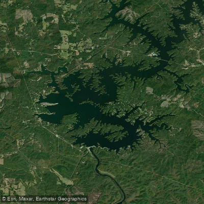
R L Harris Reservoir
Explore Georgia waters
Top paddling waters
Popular Cities
Loading popular cities...
Explore near West Point Lake
Access points
- Dewberry Access Boat Ramp
- R Shaefer Heard Park Boat Ramp
- Rocky Point Boat Ramp
- Georgia 219 Boat Ramp
- Highland Marina Resort Boat Ramp
- Evansville Boat Ramp
- Snake Creek Boat Ramp
- Brush Creek Camping Area Boat Ramp
- Whitetail Ridge Boat Ramp
- Whitewater Creek Boat Ramp
- Liberty Hill Boat Ramp
- Ringer Camping Area Boat Ramp
- All 96 spots
Nearby waters
More in Georgia

Smarter Paddling Starts in the App.
Paddleways gives you everything you need to plan smarter, paddle better, and own every trip from first launch to takeout.