Lake Sinclair
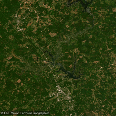
Lake Sinclair
- Boat Ramps
- 21
- Access Points
- 21
- Campsites
- 3
Lake Sinclair is a 15,300-acre man-made lake in central Georgia, created by damming the Oconee River. With 417 miles of shoreline, it offers diverse paddling opportunities. The lake features numerous inlets and quiet coves ideal for kayaking and stand-up paddleboarding. Multiple public boat ramps provide easy access, including Crooked Creek Marina, Oconee Springs Park, and Twin Bridges Landing.
Paddlers can enjoy calm waters suitable for all experience levels. The lake feeds into the Oconee River, offering additional paddling routes. Local outfitters like Oconee Outfitters and Mac's Yaks provide kayak and paddleboard rentals, as well as transportation services for river trips.
Wildlife viewing is a highlight, with the lake bordered by the Oconee National Forest. Sunrise and sunset are particularly scenic times for paddling. The lake's mild climate makes it suitable for year-round paddling, though summer is the busiest season.
Facilities for paddlers include picnic areas, parking, and restrooms at many access points. Rocky Creek Park offers a swimming beach, picnic pavilions, and shore fishing opportunities. Some boat ramps charge small parking or launch fees, typically around $5.
Lake Sinclair is known for its fishing, with populations of largemouth bass, crappie, and catfish. Paddlers should be aware of motorized boat traffic, especially on weekends and holidays. There are no major rapids or hazards, but wind can create choppy conditions on open water.
The lake plays a significant role in the region's recreation and history, having been created in the mid-20th century as part of a hydroelectric project. Its shoreline remains largely undeveloped, preserving a natural aesthetic.
Water access, boat ramps & amenities
Learn how to get on Lake Sinclair. Uncover great paddling access points, boat ramps, and all the facilities you need for an unforgettable day on the water. Some locations shown may border or include private property. Always check property boundaries and applicable regulations before visiting. PaddleWays's Public & Private Land layer can help you plan your access with confidence.
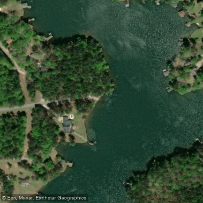
Seabrook Road Boat Ramp
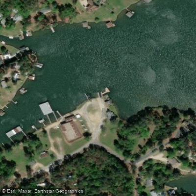
Bass Boat House Boat Ramp
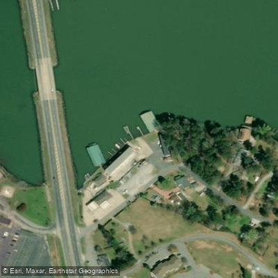
Sunset Marina and Inn Boat Ramp
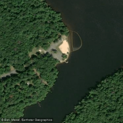
Lake Sinclair Recreational Area Boat Ramp
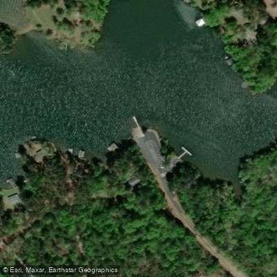
Cosbys Landing Boat Ramp
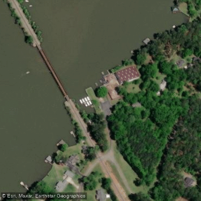
Haslams Marina Boat Ramp
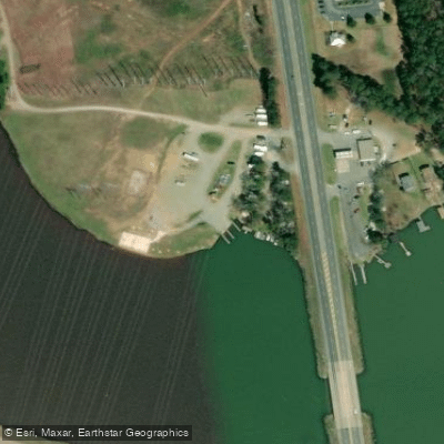
Jere Shai Lakeside Boat Ramp
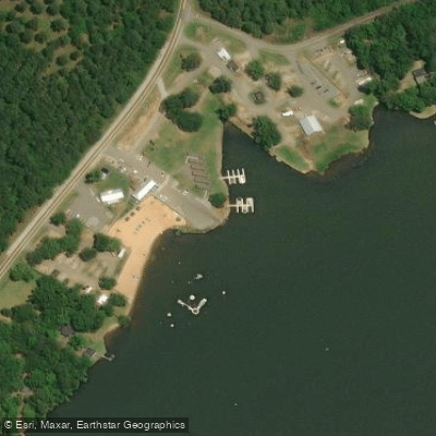
Oconee Springs Park Boat Ramp
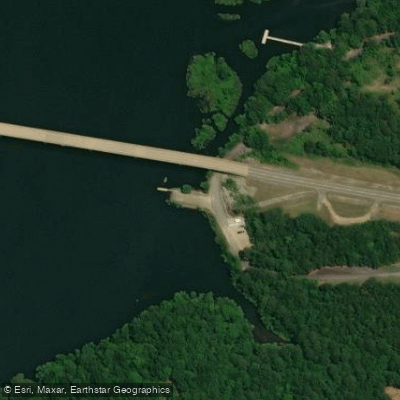
Upper Sinclair Boat Ramp
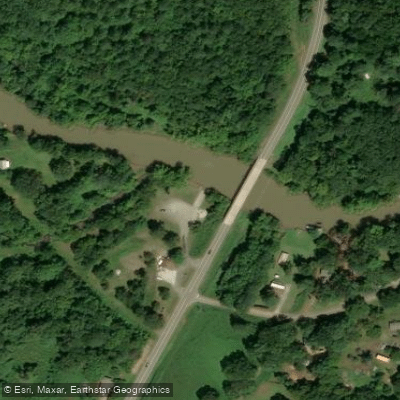
Murder Creek Boat Ramp
Paddle smarter with real-time insights
Whether you're en route and conditions shift or you're looking for the best spot based on current flows, we enable you to make informed decisions on the fly.








Find Places to Paddle

Over 400,000 Places to Paddle
Every user gets free access to launch points, boat ramps, and public property parcels.


Water and weather conditions (10 day forecast)
See the best times to paddle Lake Sinclair and check the forecast before you go.
No forecast data available.
Paddling near Lake Sinclair
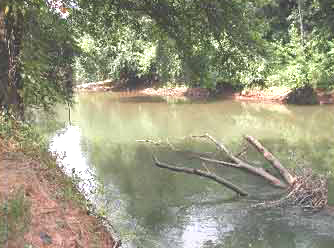
Ocmulgee River

Flint River
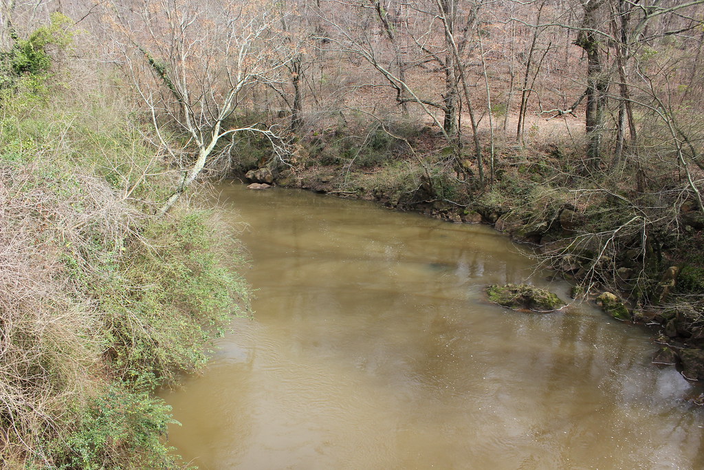
Oconee River
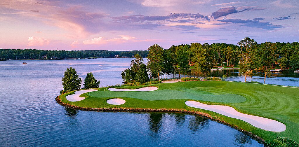
Lake Oconee
Lake Tobesofkee
Lake Wildwood
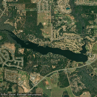
Houston Lake
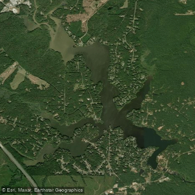
High Falls Lake
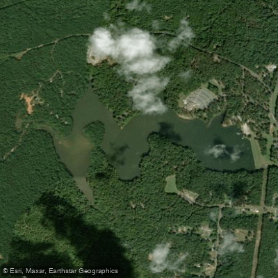
Chief McIntosh Lake
Explore Georgia waters
Top paddling waters
Popular Cities
Loading popular cities...
Explore near Lake Sinclair
Access points
- Seabrook Road Boat Ramp
- Bass Boat House Boat Ramp
- Sunset Marina and Inn Boat Ramp
- Lake Sinclair Recreational Area Boat Ramp
- Cosbys Landing Boat Ramp
- Haslams Marina Boat Ramp
- Jere Shai Lakeside Boat Ramp
- Oconee Springs Park Boat Ramp
- Upper Sinclair Boat Ramp
- Murder Creek Boat Ramp
- Rocky Creek Boat Ramp
- T D Cheek Boat Ramp
- All 74 spots
Nearby waters
More in Georgia

Smarter Paddling Starts in the App.
Paddleways gives you everything you need to plan smarter, paddle better, and own every trip from first launch to takeout.