Lake Sidney Lanier
Lake Sidney Lanier
- Boat Ramps
- 59
- Access Points
- 62
- Campsites
- 12
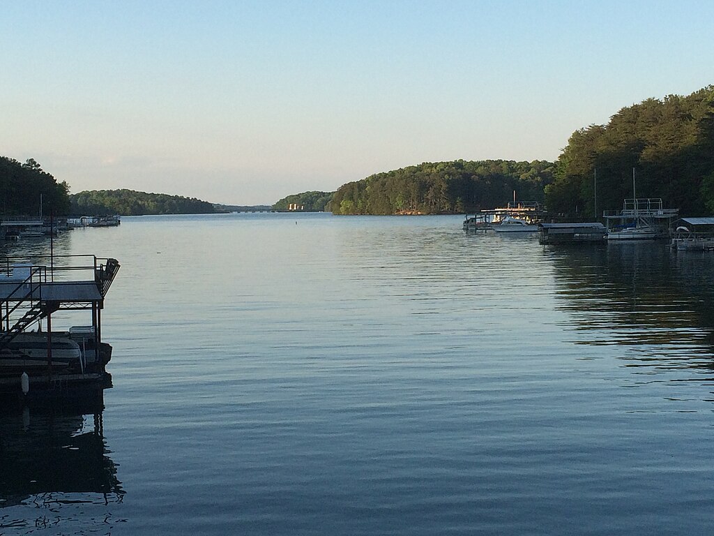
Lake Sidney Lanier is a vast 59 square mile reservoir located northeast of Atlanta, Georgia. Created in the 1950s by damming the Chattahoochee River, the lake features 690 miles of shoreline with numerous coves and inlets to explore.
Paddlers have access to over 90 parks and public launch sites around the lake. Popular put-in locations include Don Carter State Park, which offers a 12-mile paddle trail, and the Lower Pool Park Boat Launch below Buford Dam. The Gainesville Upper Lanier Water Trail provides a 14-mile flatwater paddling route with five launch sites.
The lake's aqua-blue waters and scenic shoreline make for a picturesque paddling experience. Wildlife viewing opportunities abound, with various bird species inhabiting the area. The lake's many small islands offer interesting destinations to explore.
Lake Lanier sees heavy recreational use, especially in summer months. Paddlers should be aware of motorized boat traffic and use caution in busy areas. Personal flotation devices are required for all paddlers, with children under 13 required to wear them at all times.
Water temperatures vary seasonally but are generally pleasant for paddling from late spring through early fall. The lake provides good water quality for recreation, though levels can fluctuate based on rainfall and dam releases.
Facilities for paddlers include campgrounds, picnic areas, and hiking trails at many access points. Several outfitters around the lake offer kayak and canoe rentals, including the Lanier Canoe and Kayak Club located at the 1996 Olympic venue.
Lake Lanier hosted rowing and sprint canoeing events during the 1996 Atlanta Olympics, cementing its status as a world-class paddling destination. Today, it remains a popular spot for flatwater kayaking, canoeing, and stand-up paddleboarding for all skill levels.
Water access, boat ramps & amenities
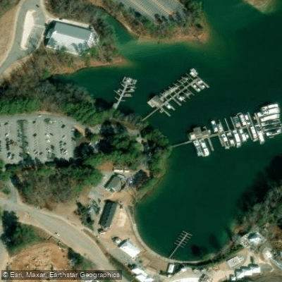
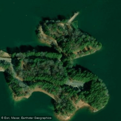
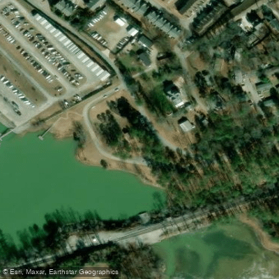
Learn how to get on Lake Sidney Lanier. Uncover great paddling access points, boat ramps, and all the facilities you need for an unforgettable day on the water. Some locations shown may border or include private property. Always check property boundaries and applicable regulations before visiting. PaddleWays's Public & Private Land layer can help you plan your access with confidence.
Paddle smarter with real-time insights
Whether you're en route and conditions shift or you're looking for the best spot based on current flows, we enable you to make informed decisions on the fly.








Find Places to Paddle

Over 400,000 Places to Paddle
Every user gets free access to launch points, boat ramps, and public property parcels.


Water and weather conditions (10 day forecast)
See the best times to paddle Lake Sidney Lanier and check the forecast before you go.
CHATTAHOOCHEE RIVER BUFORD DAM NR BUFORD, GA
Paddling near Lake Sidney Lanier

Chattahoochee River
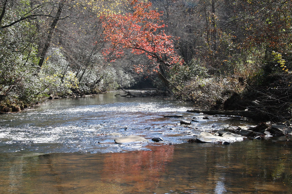
Etowah River
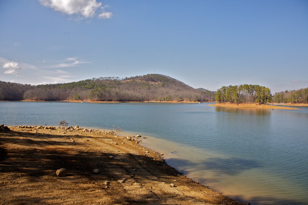
Allatoona Lake
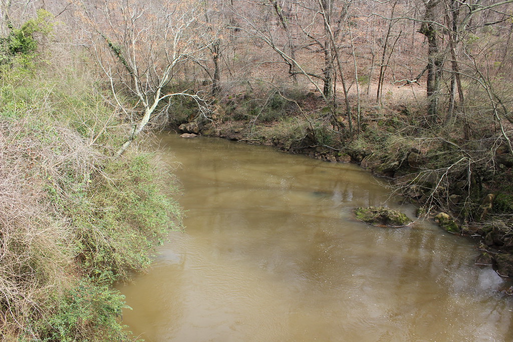
Oconee River
Toccoa River

Little Tennessee River
Chauga River
Chestatee River
Reservoir 51
Explore Georgia waters
Top paddling waters
Popular Cities
Loading popular cities...
Explore near Lake Sidney Lanier
Access points
- Lake Lanier Park Boat Ramp
- Mountain View Park Boat Ramp
- Wahoo Creek Park Boat Ramp
- Young Deer Park Boat Ramp
- Nix Bridge Park Boat Ramp
- Duckett Mill Park Boat Ramp
- Hideaway Bay Marina Boat Ramp
- Sunrise Cove Marina Boat Ramp
- Simpson Park Boat Ramp
- Habersham Marina Boat Ramp
- Sawnee Campground Boat Ramp
- Laurel Park Boat Ramp
- All 179 spots
Nearby waters
More in Georgia

Smarter Paddling Starts in the App.
Paddleways gives you everything you need to plan smarter, paddle better, and own every trip from first launch to takeout.