Lake Rutledge
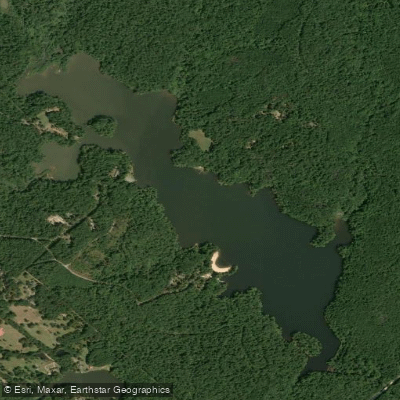
Lake Rutledge
- Boat Ramps
- 1
- Access Points
- 1
- Campsites
- 2
Lake Rutledge is a 275-acre lake within Hard Labor Creek State Park offering a peaceful paddling environment with restrictions on motorized boats (only trolling motors and gas engines up to 10 HP allowed). The lake features multiple coves and inlets to explore, with an average depth of 6.5 feet.
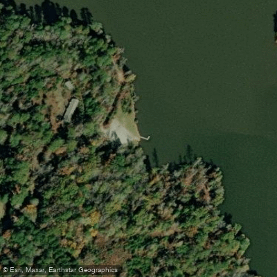
A boat ramp with parking area provides the main access point (GPS coordinates: 33.648919, -83.590446), located off CCC Camp Loop. The park charges a $5 parking fee, with annual passes available. Kayak rentals, including single and tandem models, are available through the park. Life jackets are provided with rentals and required for all boaters.
The shoreline is characterized by boulder fields, towering trees, and numerous snags and stumps that provide habitat for wildlife. Paddlers commonly encounter great blue herons, wood ducks, cormorants, turtles, and beavers. The northwestern section of the lake features quiet shallow coves inaccessible to larger boats, making it particularly attractive for wildlife viewing.
The park offers organized paddling programs including night paddles, full moon kayaking, twilight paddles, and stargazing tours led by naturalist guides. These guided experiences typically last about 90 minutes. Independent paddling is permitted until 8 p.m.
The lake's relatively protected waters and restriction on large motorized craft make it particularly suitable for beginner paddlers. A swimming beach and several picnic areas along the shoreline provide convenient rest stops. The lake is part of the historic Hard Labor Creek State Park, developed by the Civilian Conservation Corps in the 1930s.
Note: The beach bathrooms are currently under renovation, which may affect access to the boat dock, swimming beach, and kayak rental facilities.
Water access, boat ramps & amenities
Learn how to get on Lake Rutledge. Uncover great paddling access points, boat ramps, and all the facilities you need for an unforgettable day on the water. Some locations shown may border or include private property. Always check property boundaries and applicable regulations before visiting. PaddleWays's Public & Private Land layer can help you plan your access with confidence.
Paddle smarter with real-time insights
Whether you're en route and conditions shift or you're looking for the best spot based on current flows, we enable you to make informed decisions on the fly.








Find Places to Paddle

Over 400,000 Places to Paddle
Every user gets free access to launch points, boat ramps, and public property parcels.


Water and weather conditions (10 day forecast)
See the best times to paddle Lake Rutledge and check the forecast before you go.
No forecast data available.
Paddling near Lake Rutledge
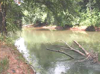
Ocmulgee River

Chattahoochee River
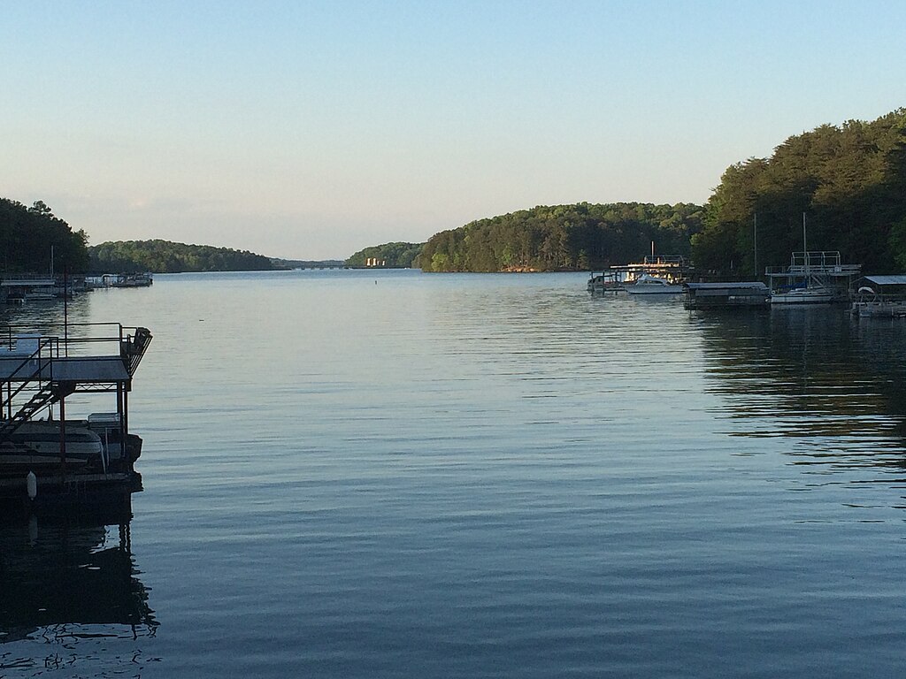
Lake Sidney Lanier

Flint River
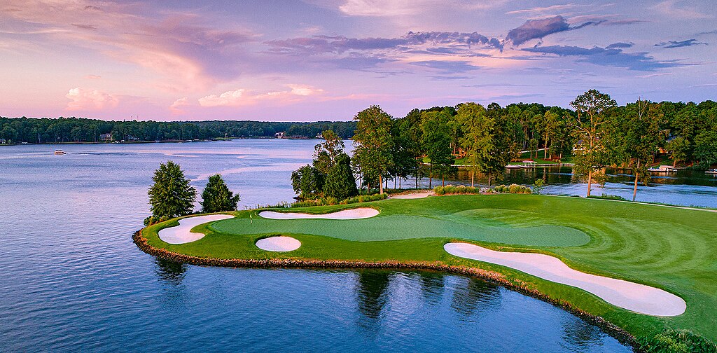
Lake Oconee
Lake Sinclair
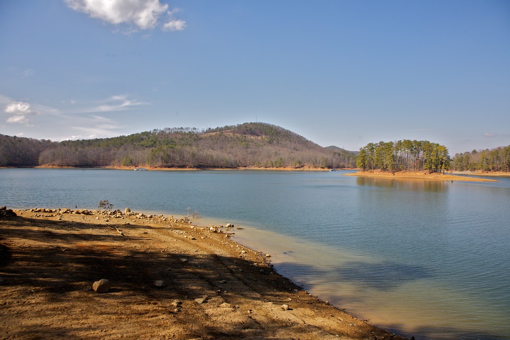
Allatoona Lake
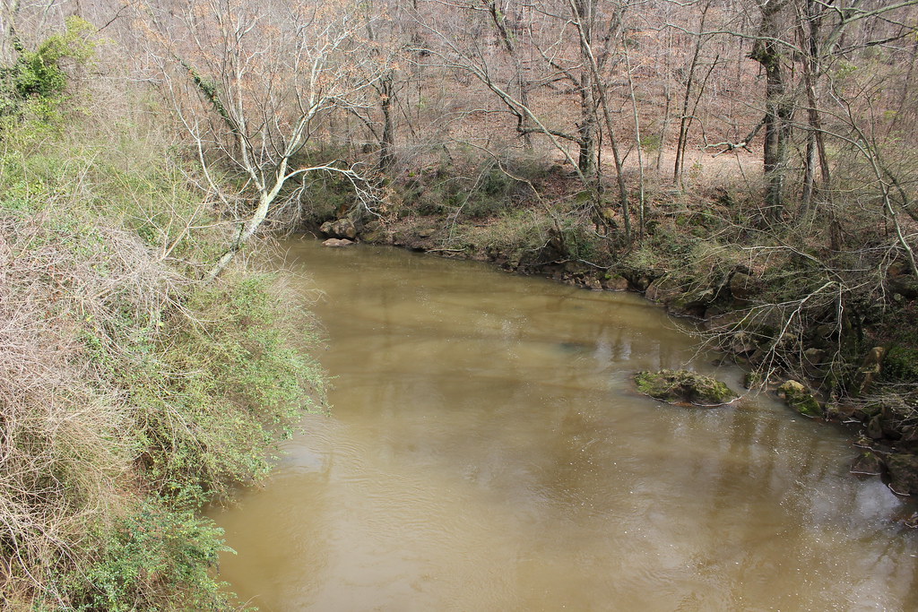
Oconee River
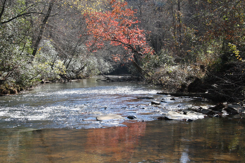
Etowah River
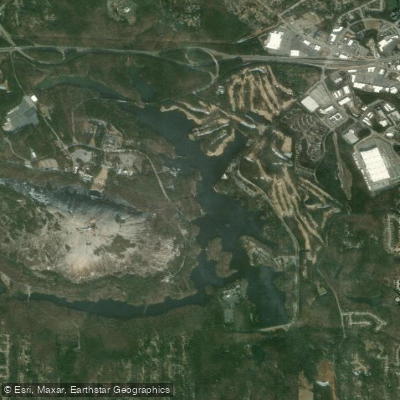
Stone Mountain Lake
Explore Georgia waters
Top paddling waters
Popular Cities
Loading popular cities...
Explore near Lake Rutledge
Access points
Nearby waters
More in Georgia

Smarter Paddling Starts in the App.
Paddleways gives you everything you need to plan smarter, paddle better, and own every trip from first launch to takeout.